SYMES MICHAEL.Livre Rare Book
130 résultats
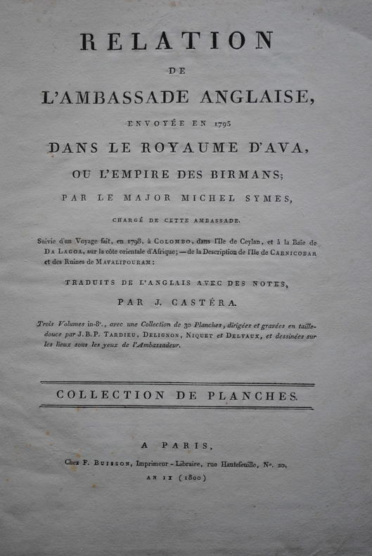
1804P1-4D-4Paris, Buisson, 1804. In-folio (37x28 cm) cartonnage orangé, non rogné (Reliure de l’époque). 2ff- 2 cartes dépliantes – 28 planches. Atlas seul, contenant deux cartes dépliantes et 28 planches de costumes, vues et histoire naturelle, gravées en taille-douce par Tardieu, Delignon, Niquet et Delvaux. Cartonnage un peu frotté, dos manquant, mais intérieur bien frais. Non rogné, sans les 3 volumes de texte. Atlas of the French translation “an account of an embassy to the kingdom of Ava”, 2 folding maps and 28 plates bound in contemp. board, binding worn, the plates are very clean, no foxing or water stain. Size folio (37x28 cm).
1861141In original black blindstamped cloth gilt front cover decoration. First edition quarto Senate issue 367 pp. including appendices illustrated with 68 in-text illustrations 9 black and white lithographs 9 tinted lithographs 8 pearl gray and 1 ocher 8 folding b&w panoramic views 1 profile 7 chromolithographic plates of Indians 2 fold out topographic maps and two hand colored geological maps which were issued in only a minority of copies of the Senate version. The House of Representatives version was not issued with the geological maps. Bound in original cloth with gilt vignette of steamboat on cover. Lithography by Sarony Major and Knapp of New York. Map sizes: 34 ½ x 14 ½ inches all 4 maps. Condition: Complete with all plates and maps including the two very scarce geological maps. Extensive shelfwear; backstrip lacking. Stain and rubbing to front cover decoration. Front board detached. No ownership stamps or markings. Text and plates mainly clean with toning to some pages marginal staining to a plate or two and a few scattered small spots. The maps have short opening tears and some small toning spots. A good candidate for rebinding to your specification. Marcou 784 Wheat 947 and 948 topographical maps only Merrill p. 360. This report contains the official account and scientific results of the first of the three great explorations of the Colorado River undertaken by the Federal government during the mid-19th century. Well written and illustrated with many fine woodcuts lithographs and maps some in color the Ives report ranks as one of the most important and best Army surveys conducted in the American west. Wheat devotes over 6 pages to this expedition plus 2 double page maps. Very hard to find with all maps and plates present. In 1857 the Ives expedition up the Colorado River was conceived to develop potential supply routes along the river in event of war with Mormon settlements in Utah. Ives used the steamboat Explorer shown in the frontispiece and many subsequent illustrations - disassembled in Philadelphia and shipped via the Isthmus of Panama to the mouth of the Colorado River where it was reassembled - to transport his party including naturalist/geologist John S. Newberry artist H. B. Mollhausen of US Pacific Railroad USPRR exploration renown and topographer F. W. Egloffstein. According to Goetzmann "the comprehensive observations of Ives and the scientists accompanying his expedition were a distinct contribution to the knowledge of a little-known and superficially explored region". The report consists of 5 parts plus 4 appendices: General Report by J. C. Ives; Hydrographic Report by J. C. Ives; Geological Report by J. S. Newberry; Botany by Gray Torrey Thurber and Engelmann; and Zoology by S. F. Baird. The appendices present astronomical observations geographic data on camp locations; meteorological observations; and remarks about the construction techniques used for the maps. The b&w woodcuts plates and folding views depict striking topographic views of river valley and mountain scenes; panoramic views of canyons and other scenes; geological features; and fossils. Mollhausen's Indian portraits show various representatives of the Cocopas Yumas Chemehuevis Mojaves Hualpais Moquis and Navajo tribes in colorful native attire. Another tinted plate by Egloffstein shows the interior of a Moquis house. Topographic map No. 1 follows the water route along the river from its mouth to "head of navigation" and map No. 2 follows the land route to Ft. Defiance including the "Canyon of the Colorado". Newberry prepared his geological maps by modifying these maps with additional titles and coloring for geological formations up to 7 colors used. All maps are dated 1858. The Ives exploration accomplished many "firsts" including the first recorded descent to the floor of the Grand Canyon which he called Big Canyon by non-Indians. His report contains the first published views of the Grand Canyon criticized by some as dark and gloomy which nevertheless proved very popular with the American public. Newberry's report contains the first published geologic section of the Canyon which given the conditions under which he worked and state of knowledge at the time was a remarkable accomplishment. His geological maps are the first to specifically focus on the Plateau country at the canyon. He correctly attributed the Canyon's existence to fluvial erosion but erred in unraveling its history as later worked out by Powell Dutton and Holmes. Egloffstein's maps of the Colorado River and Colorado Plateau utilized a new printing technique that depicted physical features in shaded relief style and were the first maps thus produced. Government Printing Office hardcover
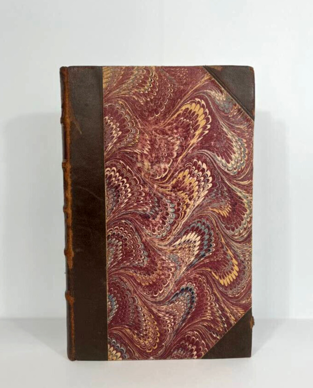
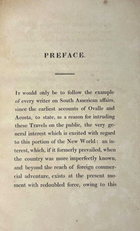
18090036London, B. Clarke for Henry Colburn, 1809. First edition. Octavo, 210 x 130 mm, (6) 304 pp. Bound in original quarter brown morocco with corners, spine with 5 raised bands, wine-colored title piece with author's name and title in gold as well as a double gilt fillet on the higher and lower extremities of the piece, year on the bottom of spine. Purple marbled dishes with tons of yellow and bluish waves. Headband. Title page, dedication to the "merchants of Great Britain", Advertisement and table of contents at the beginning of the book. Twelve chapters followed by two appendices (and not just one as indicated in the table) with "Medical advice for Europeans who emigrate to Brazil" and indications on the coins, change and commodity prices. "As the recent political changes in Europe have naturally attracted the general attention towards the New World, no apology, it is presumed, can be deemed necessary for presenting to the public the following succinct account of one of the most interesting colonies in that quarter of the globe. The jealous and illiberal policy which at all times characterized the [Portuguese] government of Brazil in its intercourse with foreigners rendered it difficult to obtain accurate information respecting the productions, reade and commerce of this colony. The author therefore trusts that the information contained herein cannot fail to prove acceptable to the general reader and highly interesting to anyone engaged in commercial speculations." (Advertisement) ********************************* Londres, B. Clarke for Henry Colburn, 1809. Édition originale. Un volume in-8 de 210 x 130 mm pour (6) 304 pp. Relié demi-maroquin tabac à coins d'époque, dos à 5 nerfs, pièce de titre lie-de-vin avec nom d'auteur et titre en doré ainsi qu'un double filet doré en coiffe et queue de la pièce, année en queue. Plats jaspés mauves aux tons de vagues jaunes et bleutés. Tranchefile. Page de titre, dédicace aux "marchands de Grande-Bretagne", avertissement et table des matières en début d'ouvrage. XII chapitres suivis de deux annexes (et non une seule comme indiqué dans le sommaire) avec des "Conseils médicaux aux Européens qui émigrent au Brésil" et des indications sur le change et la valeur des marchandises. "Étant donné que les récents changements politiques survenus en Europe ont naturellement attiré l'attention sur le Nouveau Monde, aucune excuse, semble-t-il, ne saurait s'avérer nécessaires pour présenter au public l'explication ci-après de l'une des colonies les plus intéressantes à cet endroit du globe. La politique jalouse et illibérale qui a toujours caractérisé le gouvernement [portugais] du Brésil dans ses relations avec les étrangers a rendu difficile l'obtention d'informations exactes concernant les productions, les échanges et le commerce de cette colonie. L'auteur estime que les informations contenues ici seront acceptables au lecteur du grand public et extrêmement intéressantes pour quiconque s'est engagé dans le commerce." (Avertissement, traduit)
18210032London, John Murray on Albemarle Street, 1825. First edition. Two volumes, 230 x 148 mm, (xii) 373 + (viii) 380 pp. Recently rebound in half morocco leather with 5 raised bands, author's name, title, volume number and year stamped in gold, marbled papers on covers and as endpapers. Headbands. Volume I features a picture of two masked women as "The Usual Walking Costume of Lima", a short preface, 12 chapters, 5 colored plates and an unfolding map of South America. Volume II features four color plates, including a frontispiece as well, chapters 13-19, no less than 26 appendixes and a very long folding map. "Caldcleugh came to Brazil as private secretary to the British Ambassador, Edward Thornton. From October, 1819, until 1821 he lived in Rio, and from there travelled to Argentina and Chile. His return journey again took him through Brazil, and this time he visited Minas Geraes which he describes on pp. 178-288 of the second volume. Caldcleugh's work has great documentary value. An excellent and impartial observer, he describes Rio de Janeiro with great accuracy, and studies the social, agricultural, financial, and political situations in Brazil. The part referring to the mines in Minas Geraes is of great interest. The first volume contains two very beautiful views of Rio de Janeiro." (Borba de Moraes, I:144) "An example of the very important travel literature of the period" (Griffin 3455). Abbey Travel 699, Sabin 9877. This work also includes appendices on matters such as meteorology, the slave trade, and shipping.
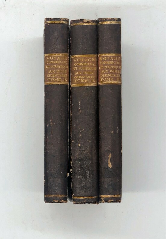
1810PHO-435Paris, Clament, 1810. 3 vol. In-8° (202 x 136 mm) TOME 1:301pp TOME 2 : [2], 390 pp. ; TOME 3 : 291 pp., avec 4 tableaux et 2 cartes dépliantes de Mentelle and Chanlaire (Chine et Inde) sur papier bleuté , contours coloriés , reliure époque , dos lisse avec pièce de titre et tomaison, petits manques.