77 résultats
46400160, Calmann-Lévy, 1935; in-12 broché. "Sous ce pseudonyme se cache Madame Dussap ( née Jeanne Violet), qui avait épousé un consul en poste à Sidney, d'où ce voyage en Nouvelle-Calédonie sur le """" La Pérouse"""". O'Reilly 422.
1935500317133Calmann-Lévy Éditeurs 1935 1935. Récit de voyage publié en 1935 décrivant les escales de l'auteure en Nouvelle-Calédonie et aux Nouvelles-Hébrides (actuel Vanuatu) à bord du navire La Pérouse lors d'un séjour qui l'a menée depuis Sydney. L'ouvrage de 214-215 pages illustré de cartes mêle observations géographiques et expérience personnelle
petit in-4°, 257 pages, relie cartonnage recouvert de raphia decore. — Un des 1400 exemplaires sur velin numerote. Tres bel exemplaire. [GD8-9] Edition publiée avec le concours de la Société des Amis des Nouvelles-Hébrides, à l'occasion du Cinqunatenaire du Condominium Franco-Britannique sur ces îles.
056010Paris Editions Albin Michel 1957 in 4 (25,5x19,5) 1 volume broché, couverture rempliée, sous chemise et étui de l'éditeur, 257 pages [2], avec des illustrations de Michel Lablais. Illustrations en couleurs reproduites à la main dans les ateliers du Coloris Moderne. Edition limitée, celui-ci un des 100 exemplaires numérotés sur vélin, comprenant une suite en sanguine des illustrations. Exemplaire enrichi d'un bel envoi autographe signé par Pierre Benoit, et d'un dessin orignal à la plume signé et dédicacé par Michel Lablais (joueur de tam-tam). Très bel exemplaire ( Photographies sur demande / We can send pictures of this book on simple request )
1369608Paris: Albin Michel, 1957 gr. in-8, 264 pages, illustrations. Reliure d'édit. en toile cirée vergée, vignette estampée sur le premier plat, très bon état. Un des 1400 ex. numéroté sur vélin . Cette édition publiée avec le concours de la Société des Amis des Nouvelles-Hébrides commémore le cinquantenaire du Condominium Franco-Britanniques sur ces iles.
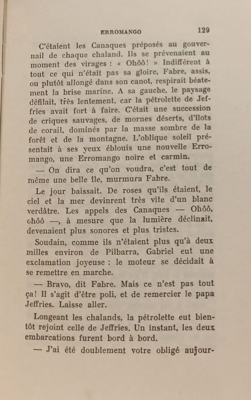
1929100146365Albin Michel 1929 in12. 1929. Broché. Le roman suit Fabre un jeune ingénieur agronome français qui débarque sur l'île d'Erromango dans l'archipel des Nouvelles-Hébrides (actuel Vanuatu) avec le projet ambitieux d'y développer un élevage de moutons. Confronté à l'isolement aux conditions climatiques extrêmes et à la solitude son équilibre mental se délite progressivement le plongeant dans la paranoïa et la confusion entre souvenirs et imagination jusqu'à une dérive psychologique complète
Pages paginated 146-222. Slight wear to cover extremities.
1978015567Paris Ader Picard Tajan 1978 In-8 carré Broché, couverture illustrée
193125751931. Paris éditions Duchartre 1931 - Broché 23 cm x 28 cm 56 pages + 80 planches photos noir & blanc pleine page de A. P. Antoine et R. Lugeon - Texte de Titaÿna - Quelques rousseurs sinon bon état
9684Editions Duchartre. 1931. In-4° broché. Couverture photographique. 57 pages + 80 planches photographiques hors texte. E.O.
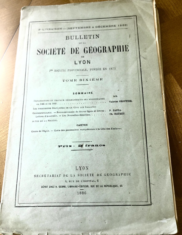
18862785ème livraison .Septembre à décembre 1886. Contient : EXPLORATIONS ET TRAVAUX GEOGRAPHIQUES DES MISSIONNAIRES EN 1884 ET 1885 par Valérien GROFFIER. LES POSSESSIONS FRANÇAISES DE LA CÔTE DES ESCLAVES. CORRESPONDANCE. RECONNAISSANCE DU FLEUVE OGUN ET LETTRES par P. ZAPPA. LETTRES D’AUSTRALIE. NOUVELLES HEBRIDES par CH. HAURET. Secrétariat de la Société de Géographie, Lyon, 1886. In-8 ( 16 X 25 cm) broché, 107 p. ( 257-364 pp) Bien complet des 2 cartes dépliantes dont celle des Possessions européennes de la Côte des Esclaves.
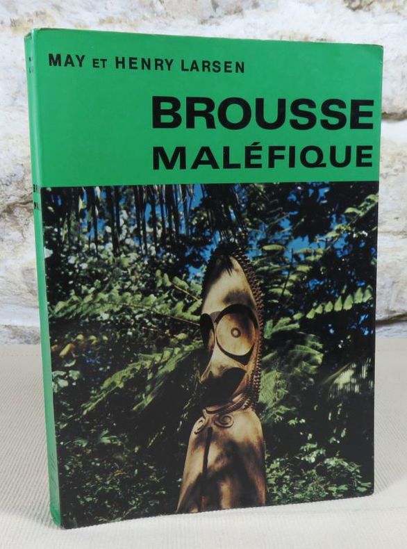
27246Broché couverture à rabats, 21X15 cm, 1969, 210 pages, photos en noir et en couleurs, A la baconnière Neuchatel et Albin Michel. Bon exemplaire.
197112120Genève, Cercle du bibliophile, s.d. (1971), in-8°, vii-199 pp, 29 pl. de photos hors texte, reliure simili-cuir noir de l'éditeur, dos et 1er plat orné, bon état
17683Paris. Musée de l'homme. 1958. Fort in-8 (25x16). XI-304 pages. Broché.
17783Paris. Musée de l'homme. 1958. In-8 (25x20). XI-304 pages. Broché.
QWA-9194Editions de la Nouvelle Revue Critique, 1932, in-12 br., 253 p., 1ère édition, coll. "La Vie d'aujourd'hui", bon état.
5502Issoudun, imp. Laboureur, 1966, 1 br., couverture illustrée par André Blache. in-8 de (2)-97 pp., illustrations, petit manque sur la page de faux-titre ;
65833P., Hachette, 1891, fort in 12 relié demi-basane verte, dos orné de filets dorés, 497 pages ; quelques petites salissures marginales ; cachets ; reliure frottée.
34357Paris. Office de la Recherche Scientifique et Technique Outre-Mer. Société des Océanistes. 1972. Petit In-4. Br. avec jaq. 156 p. suivi de très nbrs photographies, cartes, ills. et figs. H.T. en N&B. BE. Jaq. défraichie.
Ancient and original map of Anchorages in the New Hebrides Islands In the left side of the chart insert of Cliff Bay and Barree Bay, From a French Survey 1885 & H.M.S. Psyche 1905, Lisburn Anchorage By Lieut. Com. Moore, and the Officers of H.M.S. "Dart" 1883, Nogugu Anchorage Sketch Survey by Lieut. H.L. Haslewood H.M.S. "Pegasus", 1909, Walurigi Anchorage Sketch Survey by Lieut. W. Pudsey-Dawson H.M.S. Miranda, 1884, Dun-Dui Anchorage Sketch Survey by Lieut. W. Pudsey-Dawson H.M.S. Miranda, 1884, Betarara Anchorage From a French Government Plan made in 1905. In the middle of the chart insert of Bice Road, By Nav. Lieut. W.J. Symons, H.M.S. Wolverene, 1878, Steep Cliff Bay Surveyed by Commander H.E. Purey-Cust & Officers of H.M. Surveying Ship "Dart", 1894, Wea-Sisi Bay Sketch Survey by Lieut. W. Pudsey-Dawson H.M.S. Miranda, 1884, Lenakel Anchorage By Nav. Lieut. H. Hosken, H.M.S. Pearl, 1875 Additions by Lieut. J.B.L. Murray, H.M.S. Pegasus, 1906. In the right side of the chart insert of Lama Langa Sketch Survey by Lieut. H.L. Haslewood H.M.S. "Pegasus" 1909, South-West Bay By Nav. Lieut. Hosken and H.S. Penn, 1875. the North Anchorage by Lieut. W. Pudsey-Dawson, 1884, Port Resolution By Lieuts J.L. Marx, and H.H. Torlesse, 1885. London Published at the Admiralty, 31st July 1880, under the Superintendence of Captain F.J. Evans, Hydrographer. Small corrections: 1928. Autore: Admiralty Charts. Luogo: Tanna Island - New Hebrides. Anno: '900. Tecnica: incisione. Dimensioni: 610x483 mm
Ancient and original map of Anchorages in the New Hebrides. In the upper part of the chart insert of Rodd's Anch.ge Surveyed by Commander H.E. Purey-Cust & the Officers of H.M. Surveying Ship "Dart", 1894, Sasun Bay Sketch Survey by Lieut. W.P. Dawson , H.M.S. Miranda, 1884, Rannon Anchorage Surveyed by Commander H.E. Purey-Cust & the Officers of H.M.Surveying Ship "Dart", 1894. In the lower part of the chart insert of Craig Cove Surveyed by Lieut. & Commander H.E. Purey-Cust & the Officers of H.M.Surveying Ship "Dart", 1893, Dip Point Anchorage Surveyed by Lieut.- Com. R.L. Hancock and the Officers of H.M.Surveying Ship "Sealark", 1914. London Published at the Admiralty, 17th Dec. 1894, under the Superintendence of Captain W.J.L. Wharton, Hydrographer. Small corrections: 1920. Autore: Admiralty Charts. Luogo: Ambrym Insula Vanuatu - New Hebrides. Anno: '900. Tecnica: incisione. Dimensioni: 461x649 mm
Ancient and original map of Anchorages in New Hebrides Islands. In the left side of the chart insert of Talomaco Anchorage From a French Government Plan published 1892, De La Table Anchorage From a French Government Plan published 1892, Requin Bay From a French Government Plan published 1884, Narovorovo By Lieut. J.B. Murray, H.M.S. "Pegasus", 1906.In the right side of the chart insert of Lonock Bay Surveyed by Lieut. H.F.J. Rowley, 1899. Assisted By Lieut. H. Thompson & G.D. Jephson & Lieut. J. Deed H.M.S. "Wallaroo" 1899, Hog Harbour Surveyed by Lieut. H.F.J. Rowley, Assisted By Lieut. H. Thompson & G.D. Jephson & Lieut. J. Deed H.M.S. "Wallaroo" 1899, London Published at the Admiralty, 2nd June 1900, under the Superintendence of Rear Admiral Sir W.J.L. Wharton, Hydrographer. Hog Harbour is place where today is possible to admire Lonnoc Beach and not far away Champagne Beach.Small corrections: 1925. Autore: Admiralty Charts. Luogo: Espiritu Santo Island - New Hebrides. Anno: '900. Tecnica: incisione. Dimensioni: 623x482 mm
Anchorages in Malekula Island. In the left part of the chart insert of Ure or Tomman Island Anchorage Surveyed by Lieut. & Commander H.E. Purey-Cust and the Officers of H.M.Surveying Ship "Dart" 1893. In the right part of the chart insert of Port Ravallec Surveyed by Lieut. & Commander H.E. Purey-Cust and the Officers of H.M.Surveying Ship "Dart" 1893, Lambumbu Harbour Sketch Survey by Lieut. K. Dixon, H.M.S. "Archer", 1903. London Published at the Admiralty, 25th Feb. 1895, under the Superintendence of Rear Admiral W.J.L. Wharton, Hydrographer. Small corrections: 1920. Autore: Admiralty Charts. Luogo: Malekula Island - New Hebrides. Anno: '900. Tecnica: incisione. Dimensioni: 457x652 mm
Anchorages in Epi Island In the upper part of the chart insert of Ringdove Bay Surveyed by Lieut. & Commander H.E. Purey-Cust, and the Officers of H.M. Surveying Ship "Dart" 1893, Yemyu Cove By Lieut. W.U. Moore, commanding H.M.S. Dart, 1883. In the lower part of the chart insert of Foreland Anchorage Surveyed by Lieut. & Commander H.E. Purey-Cust, and the Officers of H.M. Surveying Ship "Dart" 1893, Nelson Bay Surveyed by Lieut. & Commander H.E. Purey-Cust, and the Officers of H.M. Surveying Ship "Dart" 1893, Diamond Bay By Lieut. W.U. Moore, commanding H.M.S. Dart, 1883. London Published at the Admiralty, 12th Nov. 1894, under the Superintendence of Captain W.J.L. Wharton, Hydrographer. Small corrections: 1925. Autore: Admiralty Charts. Luogo: Epi Island - New Hebrides. Anno: '900. Tecnica: incisione. Dimensioni: 461x652 mm
Ambrym Island Surveyed by Lieutenant & Commander H.E. Purey-Cust. assisted by Lieutenants W. Pudsey Dawson, F.C.C. Pasco, & A.E.H. Marescaux. H.M. Surveying Ship "Dart" 1893-4. Oceana P.t to Krong P.t from a survey by Lieut. Comm. R.L. Hancock and the Officers of H.M. Surveying Ship "Sealark", 1914. London Published at the Admiralty, 8th Oct. 1894, under the Superintendence of Captain W.J.L. Wharton, Hydrographer. Interesting rapresentation of Mount Benbow and its active crater. Small corrections: 1920. Folded editorially. Autore: Admiralty Charts. Luogo: Ambrym Island - New Hebrides. Anno: '900. Tecnica: incisione. Dimensioni: 643x984 mm