CHÉREAU (Jacques).Livre Rare Book
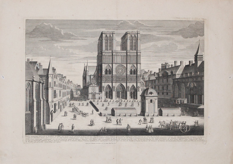
AVELINE (Antoine).Livre Rare Book
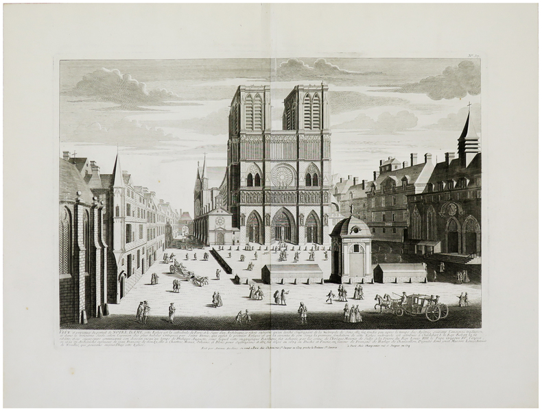
Veûe et perspectives du portail de Notre Dame.
1740LBW-3228[circa 1740]. 352 x 511 mm.
Librairie Le Bail · Paris, France800,00 €
1 510 résultats
1760LBW-623Paris, Charpentier, [circa 1760]. 336 x 516 mm.
1740LBW-3228[circa 1740]. 352 x 511 mm.
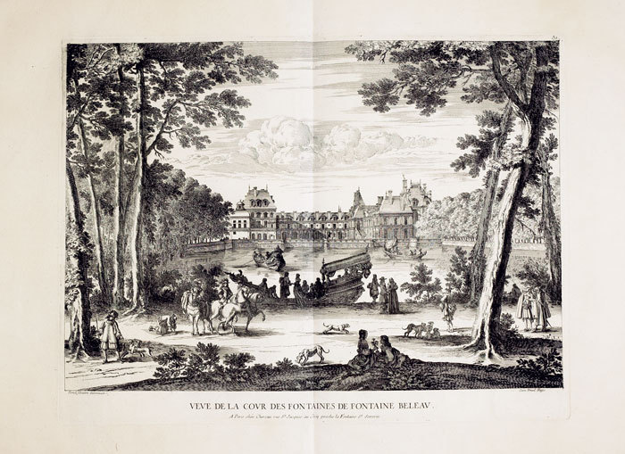
1740LBW-962Paris, Chéreau, [circa 1740]. 352 x 508 mm.
1702LBW-1304Amsterdam Pierre Mortier 1702 210 x 270 mm.
1702LBW-1359Amsterdam Pierre Mortier 1702 154 x 205 mm.
1736LBW-5901Paris, V.e de F. Chéreau, 1736. 0,34 x 1,02 m.
1760LBW-624Paris, Chéreau, [circa 1760]. 367 x 484 mm.
178425892London: Harrison & Co 1784. 1 vols. 10 x 7 3/4 inches. Extracted from a volume. Some light marginal discoloration folds else in very good condition. 1 vols. 10 x 7 3/4 inches. The first "A General Stereographic Map on the Plane of the Meridian" and the other showing a "Stereographic Projection on the Plane of the Horizon" and "Orthographic Projection on the pLane of the Meridian" Maps of the Hemispheres. <br/><br/> Harrison & Co unknown
1748LBW02e6e1748. 162 x 195 mm.
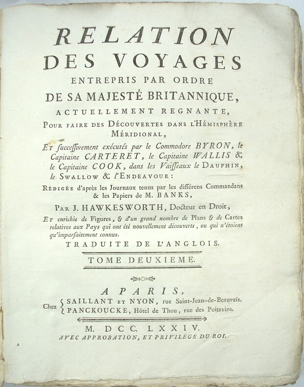
1785PHO-2103Paris, Hôtel de Thou, 1785, 1 volume in-4 (20x26cm), reliure d’attente, frottements, manque au dos, à grandes marges, tel que paru, sans les planches qui n’ont pas été relié dans cet exemplaire
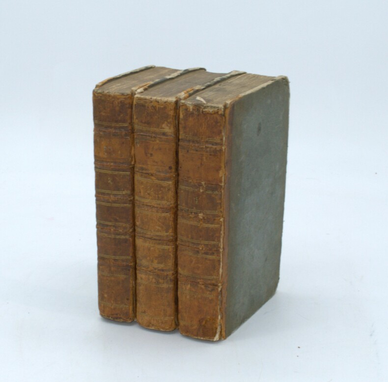
1785PHO-1570Paris, Moutard, 1785. 3 volumes in-8, demi veau époque, dos à nerfs, charnières fendues, coiffes absentes, coin et coupes usés, 3ff.-viii-519pp., 2ff.-591pp., 2ff.-477pp., quelques rousseurs.
1720LBW-3723[Paris, circa 1720]. 424 x 526 mm.
1760LBW-575Paris, Chéreau, [circa 1760]. 336 x 510 mm.
176453301(København, 1764). Kobberstukket prospekt af kirken. (17x24,5 cm.). Stukket af J. Haas. På skrivepapir. Et par svage brunpletter i marginer og en repareret rift i nederste margin.
1785E0236in-12 (9,8 cm X 17,3 cm), XXIV + 540 pp, reliure plein veau, dos à 5 nerfs, pièce de titre, caisson orné de feuillages dorés, 3 tranches marbrées. Signet
1777142441777 trois règles de jeu reliées en un volume, reliure plein veau havane raciné in-douze (binding full calfskin duodecimo), dos à nerfs (spine with raised bands) - décoration or (gilt decoration) à filets or (gilt lines) et à froid (blind-stamping decoration), entre-nerfs à fleuron au fer plein (between the raised bands floweret with full blocking stamp) et évidé (between the raised bands floweret with hollowed out blocking stamp) - titre frappé or (gilt title) - pièce de titre sur fond grenat (label of title) avec filet et roulette or (label of title with gilt line and fillets), coiffes manquantes (are missing the head and tail of the spine), manque de cuir en pied sur 1/4 de cm2, charnière du premier plat fendue sur 3cm (joint of the front cover cracked) et du quatrième plat sur 1,5 cm (joint of the back cover cracked), coins émoussés (corners blunt), un coin écorné (corner dog-eared), coupes légèrement frottées (rubbed lightly cuts), tête lisse (top edge smooth), toutes tranches lisses (all smooth edges) rouges (all red edges), Ex-Libris "Pierre Dervaux", sans illustration (no illustration), excepté une vignette de titre (title page decorated with a vignette of title) gravée sur bois en noir (engraving wood) + orné de bandeaux et de culs-de-lampe (illuminated of headpieces and tailpieces) gravés sur bois en noir (engraving wood) + toutes les pages des deux derniers volumes sont imprimées dans un encadrement d'un double filet en noir, 120 + 40 + 45 pages +En fin, 3 pages de tableaux vierges, puis 24 pages de modèles de tableaux des pertes et des gains de chaque mois de l'année, 1777 + 1773 + 1777 Amsterdam et Paris chez Fournier Libraire Editeur,
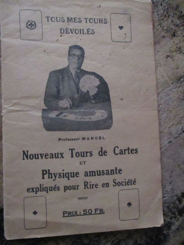
175359281753 Marcel lemoine (studio physico) 175 rue du temple, café de la monnaie Paris 3eme plaquette In8 22 pages
176434605(København, 1764). Kobberstukket prospekt af Det kgl. Teater. (17,5x24,5 cm.).
1729LBW-6098[La Haye, Isaac van der Kloot, 1729] 452 x 583 mm.
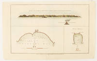
1784174896London.: Alexander Hogg at the King's Arms. circa1784. Engraved map in triptych on laid paper 20.1 x 32.7 cm three insets: cross section of the north side of Queen Charlotte's Islands Solomon Islands with detail of a volcano "6 leagues North"; Swallow's Bay Harbour; and Byron's Harbour early hand colour trimmed to the plate mark at the top edge neat sealed tear affecting the publisher's caption slight edge wear and paper toning but a most attractive map in very good condition. Attractive engraving of the Queen Charlotte's Islands Solomon Islands. The Islands were named for the consort of King George III by Philip Carteret the British naval officer and explorer who participated in two of the Royal Navy's circumnavigation expeditions in 1764–66 and 1766–69. His ship the Swallow gave her name to the Bay and Carteret's commanding officer on the first of his voyages John Byron to the Harbour depicted in this most attractive early chart. . Alexander Hogg at the King's Arms. unknown
1759848041759. T. Kinnersley. London. 1759. In Two Volumes II and III and contains the whole set for the year 1759. Bound in 18th century quarter brown calf gilt very worn and rubbed and lacking portions of leather from heads and tails of spine. Joints tender but holding. Vol. II; ii 372 pages plus 4pages of index. Vignette to general title-page and engraved head-piece for each month. 6 engraved plates of unusual and more ordinary fauna including the dodo the rhinoceros sea hedge-hog the horned didapper flying fish and cassowary. 1 portrait plate of Magliabechi 14 full page engraved maps and plans. Vol. III; ii. 404 pages plus 4 page index. Engr. vignette to general title-page and engraved head-pieces or decorations to each month 4 engraved plates of fauna one portrait plate of Major General Wolfe 1 incredible engraved plate displaying the Torments Inflicted by the Dutch on the English in Amboyna plus the engraved frontis. to Pope's Essay on Man. Three engraved plates - 1 map and 2 plans. A wonderful insight into what interested people in the mid-18th century. Pages browned and occasionally foxed but otherwise a very useful set. hardcover
1774gnt774London: David Henry; Elizabeth Newbery. G: in good condition without dust jacket. 20th century binding with new eps. Inner hinge cracking. Sporadic foxing browning marking and off-setting from illustrations. Occasional pencil annotations. Loss to lower edge of prelims slightly impinging on content. 1774. First Edition. Buff hardback cloth cover. 220mm x 140mm 9" x 6". iv 628pp xvi plates. 20 b/w plates 3 fold-out plans 18 fold-out John Gibson and Thomas Bowen road maps. . David Henry; Elizabeth Newbery hardcover
1788024356London: Printed for J. Walker 1788. Book. Very Good. Hardcover. First Edition. 12mo. A very good four volume set in contemporary full tree calf binding with double lettering pieces in red and green. Complete pp. iii-vii 1 222; 2 206; 2 238 & 2 198. No half-titles which may or may not be wanting but the pagination for the prelims to vol. I might suggest that one is required Very good bindings with a little rubbing a couple of volumes slightly chipped to the head/tail of the spines corners lightly bruised. Contents clean and tight manuscript Greek initials to title pages dated 1788 otherwise unmarked no foxing paper crisp. A very good set. A Rare Eighteenth Century Novel. We have managed to located just one other copy at auction in the last thirty years and that at Sotheby's sale of July 21 1993 where it made £1000 on the hammer though seemingly not such a nice copy. Referenced by: ESTC T068744. Printed for J. Walker Hardcover
177127627Bordeaux Lattré 1771 carte ancienne enn deux feuilles, colorée d'époque en vert , rouge et jaune, cartouche non coloré, par Joseph-Nicholas Delisle, gravée par Arrivet. Format total : 50 centimètres de haut par 39 centimètres de large, 1771 Bordeaux Lattré Editeur,
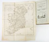
1783ST19355London: Engraved by G. Terry and Sold by T. Longman London and W. Wilson Dublin 1783. Second Corrected Edition. 260 x 155 mm. 10 1/4 x 6". XXVII 289 pp. 4 leaves index. <br/> Contemporary half calf over marbled boards flat spine divided into panels by gilt rules red morocco label very neat repair to head of front joint and top of spine. Engraved title page with vignette and dedication leaf large folding map of Ireland and 289 engraved maps. Title page with early ink signature of Jos. Sabine. Moreland & Bannister p. 190; Tooley "Maps and Mapmakers" p. 94. Small signs of age and wear to the binding including slight crackling and nicks to the spine folding map with faint dampstain to tail margin two negligible ink spots to blank area on the map of the Irish Sea but A VERY APPEALING COPY quite clean and remarkably fresh internally and in an entirely solid period binding.<br/> <br/> This is the second corrected edition of the first comprehensive road atlas of Ireland offered here in especially attractive condition. In response to increasing demand for accurate maps of the country's road system the Irish House of Commons commissioned George Taylor and Andrew Skinner who together had previously produced the first road atlas of Scotland among other works to undertake a survey of the land. Taylor and Skinner completed their work in 1777 and published the first edition of their findings in 1778. This second edition includes updates to the year 1783 as well as an additional map no. 289. Renowned for their precision and detail Taylor and Skinner's maps clearly show roads crossroads and bridges as well as topographical features such as hills lakes and rivers including the direction of the water flow; landmarks such as castles churches and ruins; and the names of local landlords and their homes. The maps appear either as half-page strips or in full-page and the distances are given in both Irish and English miles 11 Irish miles being equal to 14 British miles. The robust list of subscribers which includes a number of earls viscounts lords bishops and British and Irish army men demonstrates the great need for and widespread success of this important work. Our former owner may well be the famed and controversial naturalist Joseph Sabine 1770-1837 who often signed his name as "Jos. Sabine" as seen here. He certainly had good reason to own maps of Ireland. He was from an Anglo-Irish family himself and was Honorary Secretary of the Horticultural Society a position which at the time carried great clout in the botanical community and one that presupposed knowledge of geography across the realm. DNB tells us that "Sabine played a leading part in the establishment of the society's garden first at Hammersmith and afterwards at Chiswick; in sending out David Douglas and others as collectors; in starting local societies in connection with the Horticultural Society; and in growing and distributing new and improved varieties of flowers fruits and vegetables throughout the country." While not a rare book this is the kind of volume that would have normally encountered frequent and inevitably damaging use so to find a copy as well preserved as this one is a lucky occurrence. Engraved by G. Terry and Sold by T. Longman, London and W. Wilson, Dublin unknown