3 218 résultats
Bella carta geografica raffigurante la Corsica. Tratta dall'atlante del Borghi. mm 320x240 su foglio di mm 470x360. In ottimo stato (fine copy)
Rara litografia seppiata, mm.237x375 + ampi marg. bianchi (compless. mm.403x570). Bella veduta panoramica di Bastia, molto decorativa. Lievissime marg. fiorit. in prossimità del cielo. Bello stato. Per notizie su Eugène Ciceri (Paris 1813-1890) cfr. Benezit, III p.29
115703aafParis, Flammarion, 1900 -1903, in-4to, Les 5 volumes complet. Reliure en demi-percaline rouge originale avec abondant dorure. Tranches dorées. Qqs trace d’usage, petites taches au dos du premier volume. Sinon bel ensemble.
1823696651823 P., Imprimerie Royale, 1823, in 4° relié demi-veau brun, dos lisse orné de filets dorés, plats cartonnés, CXVI-583 pages et 3 feuillets de fac-similés portrait gravé en frontispice ; ; fente aux mors et frottis d'usage.
Un volume in 8°, legatura '900 in Piena Tela con titolo oro al dorso, cc. 2 n.n., pp. LXIV, 417, (3) + pp. 4 aggiunte, contenenti "Sujets" ed invito alla sottoscrizione dell'opera di Jules Pasqualini "Histoire de Corse". Non è presente la carta geografica. Fioriture alle prime ed ultime carte, altrimenti buon esemplare del solo Primo Tomo di questa interessante opera in 2 Tomi.
ORD-401Avec 27 croquis et une carte de la Corse. Paris. Nancy. Berger-levrault. 1894. In-8 (126 x 188mm) dos à 5 nerfs entièrement orné or et coins chagrin rouge cerise, plats jaspés bordés d'un double filet or, gardes lustrées, tête dorée, 2ff., 440 pages, carte de la Corse rempliée en fin de volume. Petit accroc à 2 nerfs, carte de Corse très lgt déchirée, réparée sans perte, sinon excellent état. Edition originale, peu courante, dans une reliure de qualité. (Starace, 5680. Polak, 143).
18760024691876 Paris, Asselin, 1876. In-12 (122 X 183) toile brique, triple encadrement de filet noir sur les plats, dos lisse et plats titrés, grand fleuron en noir au dos (reliure éditeur) ; VIII-254 pages, 3 cartes dépliantes couleurs, (1) f. de catalogue. Rousseurs éparses, essentiellement marginales.
161610981Amsterdam, Hondius, 1616. Kupferstich, altkoloriert. Blattgröße: 12,5 x 17,8 cm, Druckspiegel: 9,5 x 13,5 cm
18250028231825 Paris, A la Librairie d'Alexis Eymery, 1825. Deux volumes in-8 (134 X 208) demi-veau havane, dos lisse orné de filets dorés en place des nerfs, titre et tomaison dorés, fleuron doré dans les compartiments, tranches jaunes (reliure de l'époque) ; TOME I : VIII (dont faux-titre, titre et avant-propos), 2 planches hors-texte (portraits lithographiés des deux frères Cléry), 340 pages ; TOME II : faux-titre, titre, 351 pages.
910673Imprimerie Joseph Pompeani Ajaccio 1890 In-8 ( 205 X 130 mm ) de 77 pages, broché sous couverture imprimée. Edition originale très rare. Bel exemplaire.
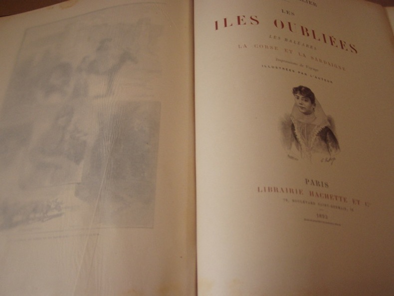
1893221311893 Paris, Hachette 1893. Petit in-folio demi-maroquin tabac à coins, tete dorée. Impressions de Voyage, illustrées par l'Auteur. 498 pages et Table des Chapitres.Très bel exemplaire, sans rousseurs ;coins frottés.,exemplaire sans rousseurs,frais.
19304137New York NY: Chemical Catalog Co Inc 1930. 1st Ed. Dark blue binding gold embossed lettering on spine. Sm chip in back top edge of binding. Content in excellent condition. Hardbound. 8vo. 83 Pgs. VG. Bearing Metals and Bearings published by Chemical Catalog Co Inc New York NY 1930. 1st Edition. Hardbound. No DJ. Size 8vo up to 9-1/2'' tall. Condition: VG. Dark blue binding gold embossed lettering on spine. Sm chip in back top edge of binding. Content in excellent condition. 383 Pgs. American Chemical Society Monograph Series No. 53. By W. M. Corse Consulting Metallurgical Engineer Secretary Institute of Metals Division American Institute of Mining and Metallurgical Engineers. The publication of this book marks a distinct departure in the policy of the American Chemical Society inasmuch as it is a serious attempt to found an American chemical literature without primary regard to commercial considerations. Description text copyright 2001 BooksForComfort. Item ID 4137. Chemical Catalog Co Inc hardcover
Carta geografica tratta dal “Parallela geographica Italiae veteris et novae. Appendix ad tomum II. Auctore Philippo Brietio Abbavillaeo, Societatis Iesu Sacerdote”, pubblicato a Parigi da Sumptibus Sebastiani Cramoisy... et Gabrielis Cramoisy, via Iacobaea, sub Ciconiis.Si tratta di una rara opera del padre gesuita, nella quale si evidenzia il contributo delle missioni gesuitiche alle scoperte geografiche.Incisione in rame, in ottimo stato di conservazione. Map taken from the “Parallela Geographica Italiae Veteris et Novae..”, a very rare work by the jesuit priest Briet. Copperplate in very good conditions.
Mappa tratta dall’Atlas minor Gerardi Mercatoris a I. Hondio plurimis aeneis tabulis auctus et illustratus. Apparso per la prima volta nel 1607, l'atlante Mercator-Hondius-Mercator fu un successo a livello europeo, con edizioni pubblicate sia in latino che in diverse altre lingue. Le varie edizioni furono curate da Jodocus Hondius e poi da Jan Janssonius, e contenevano un numero crescente di mappe. "Shortly after the publication of the big folio-atlases the need was apparantly felt for a smaller-sized atlas, one that would be handier, and, above all, cheaper, so that a larger public might have access to the use of maps. The publication of the Atlas Minor appeared to be a great success for Hondius; the first Latin edition was in great demand. The copperplates of the first atlases minor were most almost certainly engraved by Jodocus Hondius himself. After 1621, the copperplates of the Atlas Minor were sold to a London editor. Firstly, they appeared in Purchas his Pilgrinies, printed in 1625 by William Stansby for Henry Featherstone. Next they were used for the translation of the Mercator-atlas, printed in small folio under the title Historia mundi, or Mercators atlas, by Thomas Cotes for Michael Sparke and Samuel Cartwight in 1635". (cf. Koeman II Me 191). "As with the Theatrum of Abraham Ortelius, Jodocus Hondius planned a reduced size version of Gerard Mercator's folio atlas. Just one year after his first edition he published his Latin text Atlas Minor in collaboration with Jan Jansz. and Cormelis Claesz. The arrangement between these three is not understood clearly but Hondius is believed to have been the owner of the copperplates. Cartographically this is taken directly from the folio maps by Hondius in 1606 [..]. with the inevitable loss of detail due to the reduction” (cf. Burden, The Mapping of North America, 153). Incisione su rame, finemente colorata a mano, in buone condizioni. Bibliografia Koeman II Me 191; cfr. Phillips 426; cfr. Burden 153. Map taken from Atlas minor Gerardi Mercatoris a I. Hondio plurimis aeneis tabulis auctus et illustratus. Appearing first in 1607, the Hondius-Mercator ‘smaller’ atlas was a Europe-wide success, with editions published both in Latin and in several vernaculars. The various editions were edited by Jodocus Hondius and then Jan Janssonius, and contained an increasing number of maps. "Shortly after the publication of the big folio-atlases the need was apparantly felt for a smaller-sized atlas, one that would be handier, and, above all, cheaper, so that a larger public might have access to the use of maps. The publication of the Atlas Minor appeared to be a great success for Hondius; the first Latin edition was in great demand. The copperplates of the first atlases minor were most almost certainly engraved by Jodocus Hondius himself. After 1621, the copperplates of the Atlas Minor were sold to a London editor. Firstly, they appeared in Purchas his Pilgrinies, printed in 1625 by William Stansby for Henry Featherstone. Next they were used for the translation of the Mercator-atlas, printed in small folio under the title Historia mundi, or Mercators atlas, by Thomas Cotes for Michael Sparke and Samuel Cartwight in 1635". (cf. Koeman II Me 191). "As with the Theatrum of Abraham Ortelius, Jodocus Hondius planned a reduced size version of Gerard Mercator's folio atlas. Just one year after his first edition he published his Latin text Atlas Minor in collaboration with Jan Jansz. and Cormelis Claesz. The arrangement between these three is not understood clearly but Hondius is believed to have been the owner of the copperplates. Cartographically this is taken directly from the folio maps by Hondius in 1606 [..]. with the inevitable loss of detail due to the reduction” (cf. Burden, The Mapping of North America, 153). Copperplate with fine colouring, good conditions. Bibliografia Koeman II Me 191; cf. Phillips 426; cf. Burden 153.
Carta geografica dell'isola, per la prima volta pubblicata nel volume “L’isole Piu Famose Del Mondo Descritte Da Thomaso Porcacchi Da Castiglione Aretino E Intagliate Da Girolamo Porro Padovan” di Tommaso Porcacchi (ca. 1532-1576), umanista e letterato originario di Castiglion Fiorentino.Gli interessi geografici coltivati sin dal Pomponio Mela del 1557 diedero vita nel 1572 al trattato, pubblicato dalla società tra il libraio Simone Galignani e l’incisore padovano Girolamo Porro, che si servirono della tipografia di Giorgio Angelieri (con privilegio di 10 anni concesso il 16 luglio 1572). Secondo Valerio (cfr. Valerio-Spagnolo, Sicilia 1477-1861, La Collezione Spagnolo-Patermo in quattro secoli di Cartografia, 2014, p. 163) il volume sarebbe stampato nell’officina di Domenico e Giovan Battista Guerra. Il volume, in formato in quarto, con dedica di Galignani a don Giovanni d’Austria, presenta le magnifiche tavole calcografiche di Porro (una seconda edizione, cospicuamente accresciuta di testo e tavole, usci nel 1576, poi ancora, postume, nel 1590, 1604, 1605, 1620 e 1686). Nella lettera dedicatoria Porro narra di essere stato il promotore dell’operazione e di aver incaricato Porcacchi di scrivere un libro sulle isole, riservandosene l’illustrazione. Il modello e quello degli “isolari”, sul quale però Porcacchi innesta lo spirito delle corografie antiche, aggiungendo per ciascuna isola una descrizione fisica, storica e culturale. La concezione e molto ampia (sono comprese penisole, grandi isole come l’Inghilterra o interi continenti: l’America Settentrionale), ma nel “Prohemio” Porcacchi fornisce un glossario di termini geografici che testimonia lo sforzo di impiegare in maniera corretta la terminologia della disciplina (cfr. Franco Pignatti, Porcacchi Tommaso, in "Dizionario Biografico degli Italiani" - Volume 85, 2016). Nel testo vi sono mappe di isole incise su mezza pagina, compreso il planisfero – riduzione della carta murale di Camocio del 1567 e la “carta da navigare con le rotte e i venti, di derivazione gastaldina. Incisione in rame posta nella parte superiore del foglio che contiene anche la parte descrittiva, in ottimo stato di conservazione. Map taken form “L’isole Piu Famose Del Mondo Descritte Da Thomaso Porcacchi Da Castiglione Aretino E Intagliate Da Girolamo Porro Padovan” by Tommaso Porcacchi (ca. 1532-1576), humanist and scholar from Castiglion Fiorentino. The geographical interests cultivated since Pomponio Mela in 1557 gave life to the treatise published in 1572 by the company between the bookseller Simone Galignani and the Paduan engraver Girolamo Porro, who used the typography of Giorgio Angelieri (with the privilege of 10 years July 1572). The volume, with a dedication by Galignani to Don Giovanni d'Austria, presents the magnificent calcographic plates by Porro (a second edition, conspicuously augmented with text and tables, came out in 1576, then again, posthumously, in 1590, 1604, 1605, 1620 and 1686). In the dedicatory letter Porro tells of having been the promoter of the operation and of having entrusted Porcacchi with writing a book on the islands, reserving the illustration. The model is that of the "isolari", on which however Porcacchi inserts the spirit of ancient chorographies, adding a physical, historical and cultural description for each island. The concept is very broad (including peninsulas, large islands such as England or entire continents: North America), but in the "Prohemio" Porcacchi provides a glossary of geographical terms that testifies to the effort to correctly use the terminology of the discipline (see Franco Pignatti, Porcacchi Tommaso, in "Dizionario Biografico degli Italiani" - Volume 85, 2016). In the text there are maps of islands engraved on half a page, including the planisphere - reduction of the wall map of Camocio of 1567 and the "carta marina”.Copperplate placed at the top of the sheet also including a descriptive part, in very good condition. L. Piloni, "Carte geografiche della Sardegna", p. 62, tav. XXVIII (II)
PARIS, Plon - 1958 - In-8 broché - 182 pages - Ex. propre
1929PARIS, Plon - 1958 - In-8 broché - 182 pages - Ex. propre;
2 voll. in-16, pp. (12), 383; 386, (2), leg. t. tela con tit. oro al d. con nervi. Con diverse tavv. f.t. Un quadro della Corsica attraverso i racconti e le poesie del suo popolo.
1998Zg113Ajaccio DCL éditions 1998 Grand In8 - Pleine basane verte - 863 pages
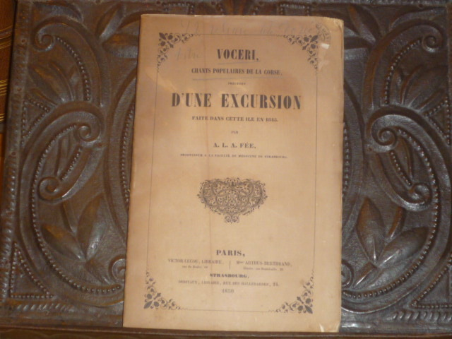
454752Lecou, Arthus-Bertrand, Derivau Paris, Strasbourg 1850 In-8 ( 220 X 140 mm ) de 1 f.n.ch. 266 pp. 4 pp. ( musique ), broché sous couverture imprimée. Edition originale des Chants Populaires ( Prince Bonaparte, p. 206 - Flori 6141 ). Les dernières pages sont lithographiées, représentant 4 chansons avec leurs musique. Dos fendu, couverture jaunie, intérieur pur bon exemplaire de ce rare ouvrage ( Susoni, pp. 248-52 ).
2013DADAX1441199632Bloomsbury Academic 2013-01-31. hardcover. New. 6.14x0.62x9.21. Buy with confidence. Excellent Customer Service & Return policy. Bloomsbury Academic hardcover
192849150Nice, Librairie Cumin frères, coll. « La Renaissance Provençale » 1928 L’un 102 des 3 000 exemplaires sur vélin bouffant, in-4, reliure demi-maroquin , 1re et 2e, couvertures, dos d‘origine conservés dos à 4 nerfs ornés de filets dorés, caissons ornés de motifs romantiques dorés, auteur et titre dorés, plats jaspés verts, tête dorée, X + 159 pp. Dos insolé, coupes de pied légèrement frottées. Bel exemplaire.
IN-4°, PP. 280, ILL. IN NERO N.T., FOTOGRAFIE B.N. E A COL. N.T., CART. EDIT., SOVR. ILL. COL. (LIEVISSIME TRACCE D'USO), TESTO TRILINGUE (ITALIANO, INGLESE, FRANCESE), COFANETTO EDIT. ILL. COL. (LIEVISSIME TRACCE D'USO), NUOVO (M/F). PT MAG 120
Inc. in rame tratta da "Italia antiqua" di Philippo Cluverio, Leida, 1619, mm.285x185 alla battuta, + marg. bianchi escluso il destro rifilato lungo la linea di inquadramento. Cartiglio contenente tit. e bordura perimetrale, Vascello e mostro marino nel mare; si intravede lembo di Tuscia. Fresca e nitida impressione, ben conservata. Rara.