732 résultats
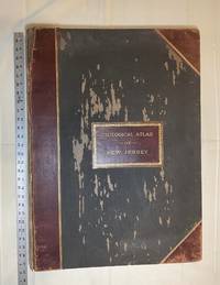
1889028277New York: Julius Bien & Co 1889. Condition of the binding is only Fair with pest damage. Leather over the spine has perished. Front and rear outer hinges cracks have been neatly reinforced with high quality clear flexible glue. Inner hinges are OK having been reinforced by the publisher/bookbinder with sturdy maroon cloth. SEE PHOTOS. Condition of all maps is NEAR FINE - FINE. NO foxing or toning. Pages are clean and unmarked. SEE PHOTOS. Includes a title page map of New Jersey Key to the System of Mapping and 19 linen-backed double page maps. Collated and complete per table of contents -- SEE PHOTOS. The maps are lithographically printed in blue red yellow and black. The double page maps open to an impressive 26.50" across by 36.50" tall. No year of publication is stated but Phillips 2149 in A LIST OF GEOGRAPHIC ATLASES Vol. 1 says 1889. The maps themselves are variously dated up to 1888. Titles of Sheets: No. 0. New Jersey State Map Geographic; No. 1. Kittatinny Valley and Mountain No. 2. Southwestern Highlands; No. 3. Central Highlands; No. 4. Northeastern Highlands; No. 5.Vicinity of Flemington; No. 6. Valley of the Passaic; No. 7. The Counties of Bergen Hudson Essex No. 8. Vicinity of Trenton; No. 9. Monmouth Shore; No. 10. Vicinity of Salem No. 11. Vicinity of Camden; No. 12. Vicinity of Mount Holly; No. 13. Vicinity of Barnegat Bay; No. 14. Vicinity of Bridgeton; No. 15. Southern Interior; No. 16. Egg Harbor and Vicinity; No. 17. Peninsula of Cape May; Unnumbered map. "New Jersey from Original Surveys based on the Triangulation of the U.S. Coast and Geodetic Survey Relief Map." Scale of first and last doublepage maps: 5 miles to an Inch. Scale of maps No. 1 to No. 17: 1 mile to an Inch. Bound in black pebble-grain cloth with gilt-stamped brown leather title label leather spine and corners leather backstrip has perished. SEE PHOTOS. The textblock could be easily rebacked or recased with no re-sewing required since all pages/maps are still securely bound together. Oversize Hardcover. 19.50" wide by 27" tall. This massive extremely heavy book will require SUBSTANTIAL extra postage at our cost based on your location. LeGear ATLASES OF THE UNITED STATES L5609. See also Schwartz and Ehrenerg's THE MAPPING OF AMERICA pp. 310-311. Phillips 2149. This massive extremely heavy book will require SUBSTANTIAL extra postage at our cost based on your location. Second Edition. Oversize Hardcover. Fair - FINE condition. Illus. by NOT a library discard. Atlas folio. Great Packaging Fast Shipping. Julius Bien & Co Hardcover
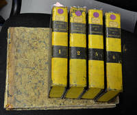
1801biblio23<p>Paris. Louis 1801. Hardcover. In five parts 8vo four text parts ; oblong 4to Atlas. 2456 pp. I: lvi 495; II: 619; III: 589; IV: 593; Title page iv two tables x pp. half title 86 engraved plates. Uniform near contemporary half calf over marbled boards with pines painted yellow edges yellow text volumes and near contemporary quarter calf over marbled boards gilt title on the spine atlas.Rare first edition of a fine illustrated work by the father of modern crystallography.</p><p>Lacks first title page the atlas boards much rubbed front board fly-leaf and title detached limited spotting throughout the plates good. See DSB VI pp. 178-182; Hoover Catalogue 391; Ward & Carozzi 1027; Wilson II pp. 54-56. Please contact me ramrozzi@yahoo.fr</p><p><br /><br /></p> Louis hardcover
1823biblio8xx 208 8 pp 4 plates folded. very fine. very rare. Pictures on demand. Please contact me ramrozzi@yahoo.fr<br />
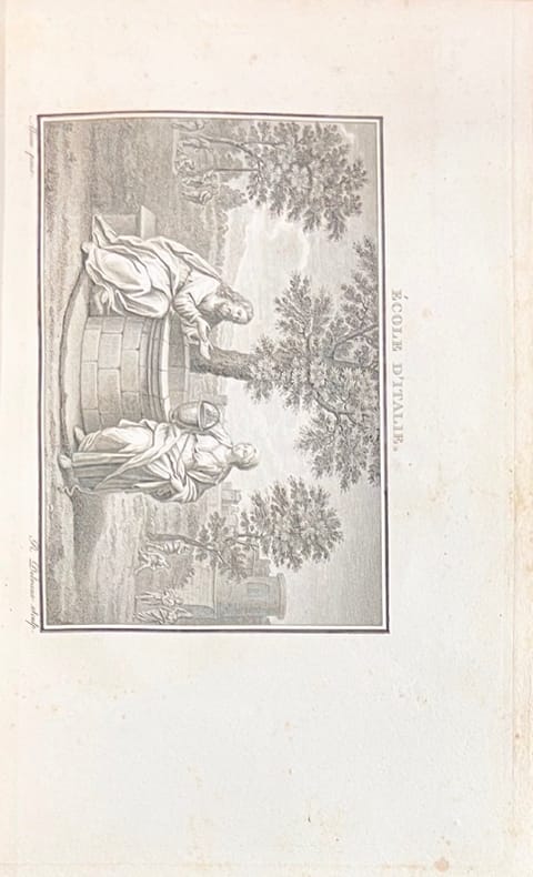
180412547A Paris, Imprimerie de Crapelet, 1804. 2 vol. in-4 de (4)-VIII-514 pp. 1 frontispice et 38 planches ; (4)-534 pp., 1 carte gravée dépliante, 1 frontispice et 34 planches, maroquin rouge à grains longs, dos à cinq nerfs minces orné de pointillés et feuilles, cadre à une roulette aux volutes florales sur les plats, filet strié sur les coupes et les coiffes, doublures et gardes de tabis bleu, tranches dorées (Rel. P. Bozerian jeune).
186035665[Vers 1860] 24,5 x 18 cm environ tirage sur papier albuminé d'après négatif verre, contrecollé sur papier fort, marie-louise moderne
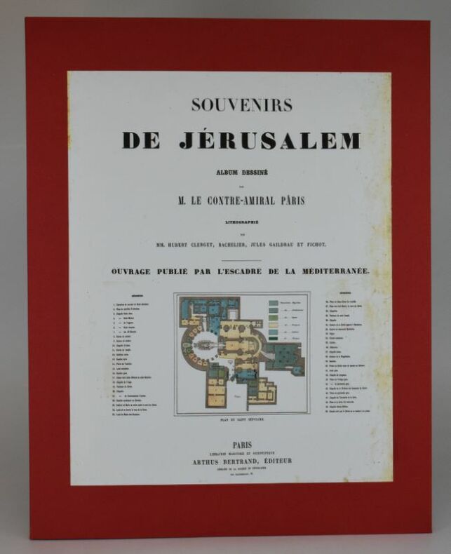
18626478Paris, Librairie Maritime et scientifique Arthus Bertrand, 1862. In-plano (600 x 464 mm), 1 f. de titre illustré du plan du Saint-Sépulcre, 2 ff. de texte et 14 planches lithographiées (dont 12 en couleurs) par Hubert Clerget, Bachelier, Jules Gaildrau et Fichot. Sous un boîtier moderne en toile, le premier plat illustré d'une photocopie de la page de titre, page de titre salie en marge avec traces de déchirures, il est entièrement doublé, les feuillets de texte ont probablement été lavés, les planches sont dans un état parfait. Bel exemplaire parfaitement complet.
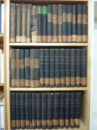
185832039AB1858. alle Bände in Originalausgabe Gotha J. Perthes 1858-1906 4° jeder Band zwischen ca. 300 und 500 S. mit zahlr. oftmals farbigen Ausklapp-Tafeln und Falt-Karten die ersten 4 Bände 1858-1863 als schwarze original Leineneinbände mit goldener Deckel- und Rückenbeschriftung sowie reicher Deckelbildprägung der Band 1868 als schlicher schwarzer Pappband der Zeit dann 1870-1906 Halbleinen-Einbände der Zeit mit Rückenschildern bzw. goldener Rückenbeschriftung und Musterpapierbezügen alle Bände unten mit Rückensignaturschildchen die Rückenkanten der ganz frühen Bände stellenw. angeplatzt wenige Bände oben am Rücken etwas angerändert beim schlichten Pappband von 1868 der Rücken beschädigt und mit Fehlstellen innen aber bindungsstabil die Vorsatz- und/oder Titelseiten aller Bände mit schönem alten Rundstempel und handschriftlicher Signaturnummer der Lehrerbibliothek eines alteingesessenen Frankfurter Gymnasiums sonst gute saubere und augenscheinlich auch vollständige sowie offenbar kaum je benutze Exemplare augenscheinlich vollständig aber nicht eingehend kollationaliert. Vorhanden die Bände 1858 4. Jahrgang 1861 1862 1863 und 1868 bis 1906 51. Jahrgang sowie 3 separat gebundene Inhaltsverzeichnisse 1865-1874 / 1875-1884 / 1885-1894. Der komplette Titel der fühen Bände lautete: 'Mittheilungen aus Justus Perthes' Geographischer Anstalt über wichtige neue Erforschungen auf dem Gesammtgebiete der Geographie'. Ohne die separat erschienen 'Ergänzungshefte'. Abholung im Ladengeschäft in Frankfurt am Main Nordend ggü. Musterschule möglich. Das spart die Portokosten. Pickup at the store in Frankfurt am Main Nordend close to Musterschule is possible. It saves the shipping costs. unknown