(Trade Catalogue: Iron & Steel)Biblio.com
11 843 résultats
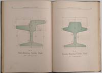
1890502San Francsico California: Pacific Rolling Mill Company 1890. 8vo. 250 x 170 mm. 10 x 7 inches. 100 pp. plus 4 leaves of ruled paper 2 with measurements in manuscript. Illustrated throughout with simple drawings of parts many stenciled with green wash; one plate folding. Bound in limp cloth covered boards title in gilt on front cover; a cloth binding shows some wear to gilt title two pencil drawings on front endpaper; other a very good sound copy. Straight forward price list of iron bar steel rail rolled and forged metal axles nuts bolts washers and dozens of other metal products. There is no introduction about the history of the firm just images of parts prices and a few lines of text describing specifications for some of the more complicated manufacture items. What distinguishes this rare trade catalogue is the design sense of many of the images and the application of stenciled color to highlight the object. The printed form of the parts are in outline and as one pages through the catalogue the images take on an abstract quality. Metal parts become contoured shapes with form being determined only by the light green wash applied to the physical part of the design. Although unintentional I am sure this late 19th century publication replete with many of the characteristics of period book design exhibits a very modernist feel one that is most unusual in publications of this nature. Although called the 7th edition this is only one of three issues of the PRMC's product guide and price list that is known. Organized in 1867 PRMC grew continuously and by 1892 was producing more than 40 thousand tons of iron and steel. "This giant enterprise is so closely identified with the manufacturing interests of the Pacific Coast that there is scarcely a manufacturing firm or corporation on the Coast that does not depend upon its output. The mills are located at Potrero Point in South San Francisco and cover an immense area" Master Hands. Romaine Guide to American Trade Catalogues p. 200 this edition and one from 1886 both known in only one copy each at California Historical Society. OCLC cites an edition from 1885 in one copy at San Francisco Public Library and this edition 1890 also in only one copy at California H. S. See: Master Hands in the Affairs of the Pacific Coast Historical Biographical and Descriptive. A Resumé of the Builders of Our Material Progress. San Francisco: Western Historical Publishing Company 1892 pp. 260. Pacific Rolling Mill Company unknown
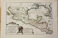
1705M772Paris 1705. Excellent. Notes: This map covers the Gulf of Mexico through Central America and includes parts of Cuba and Jamaica. It extends through Mexico to show the southern tip of Baja California. This is an early map to show the correct location of the Mississippi River delta gleaned from the expeditions of La Salle and Iberville. Two French forts are located: LaSalle's Fort St. Louis in Texas Fortbati en 1685 and another near present-day New Orleans. One of the prominent features in northern Mexico is Les Fameuses Mines de Ste. Barbe the legendary Santa Barbara mines of the Chihuahua-Durango region. Size : 230x335 mm 9x13.125 Inches Coloring: Original Outline Coloring Category: Maps Central America Mexico unknown
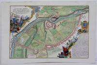
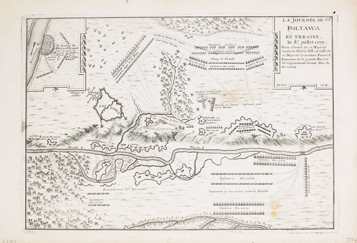
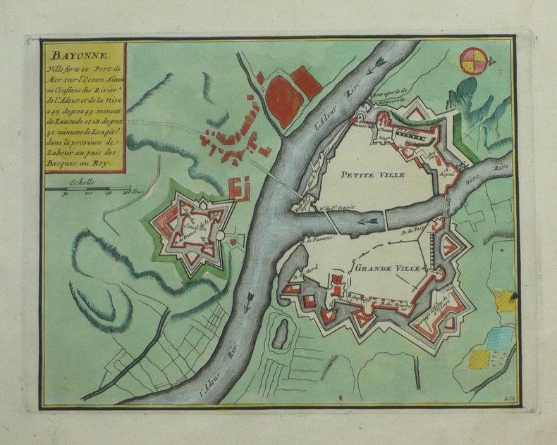
1705M5280Paris 1705. Excellent. Size : 225x340 mm 8.875x13.375 Inches Coloring: Hand Colored Category: ; Maps Europe Estonia Latvia unknown
1890502San Francsico California: Pacific Rolling Mill Company 1890. 8vo. 250 x 170 mm. 10 x 7 inches. 100 pp. plus 4 leaves of ruled paper 2 with measurements in manuscript. Illustrated throughout with simple drawings of parts many stenciled with green wash; one plate folding. Bound in limp cloth covered boards title in gilt on front cover; a cloth binding shows some wear to gilt title two pencil drawings on front endpaper; other a very good sound copy. Straight forward price list of iron bar steel rail rolled and forged metal axles nuts bolts washers and dozens of other metal products. There is no introduction about the history of the firm just images of parts prices and a few lines of text describing specifications for some of the more complicated manufacture items. What distinguishes this rare trade catalogue is the design sense of many of the images and the application of stenciled color to highlight the object. The printed form of the parts are in outline and as one pages through the catalogue the images take on an abstract quality. Metal parts become contoured shapes with form being determined only by the light green wash applied to the physical part of the design. Although unintentional I am sure this late 19th century publication replete with many of the characteristics of period book design exhibits a very modernist feel one that is most unusual in publications of this nature. Although called the 7th edition this is only one of three issues of the PRMC's product guide and price list that is known. Organized in 1867 PRMC grew continuously and by 1892 was producing more than 40 thousand tons of iron and steel. "This giant enterprise is so closely identified with the manufacturing interests of the Pacific Coast that there is scarcely a manufacturing firm or corporation on the Coast that does not depend upon its output. The mills are located at Potrero Point in South San Francisco and cover an immense area" Master Hands. Romaine Guide to American Trade Catalogues p. 200 this edition and one from 1886 both known in only one copy each at California Historical Society. OCLC cites an edition from 1885 in one copy at San Francisco Public Library and this edition 1890 also in only one copy at California H. S. See: Master Hands in the Affairs of the Pacific Coast Historical Biographical and Descriptive. A Resumé of the Builders of Our Material Progress. San Francisco: Western Historical Publishing Company 1892 pp. 260. Pacific Rolling Mill Company unknown books
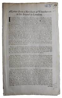
AQ27281s.i. London: s.n. s.d. c. 1730 3pp 1. Docket title to verso of second leaf. Disbound with slight chipping at gutter and extremities old folds slightly browned to extremities. Wax crayon numeral and ink paginations at head. A rare example of early eighteenth-century lobbying literature composed 'four years since' ironmaster and mintmaster William Wood 1671-1730 began exploiting newly developed methods of producing 'Iron with Oar and Pitcoal in Air-Furnaces' in enormous industrial works at Whitehaven apparently composed to discourage the Government from providing funds for the building of further furnaces near Chelsea high-road. In addition to decrying the quality of the iron produced and 'several notorious Frauds practised' by Wood's operation this work warned of the danger of his somewhat novel company incorporation practices and the possibility of these resulting in 'Stock-Jobbing and the Arts of raising Bubbles'. Rare; ESTC locates a single copy BL. ESTC T20614. Folio. [s.n.], [s.d., c. 1730] unknown
mon0000685296Blurb 6/4/2019 12:00:00 AM. hardcover. Very Good. 1.3386 in x 8.1890 in x 5.2362 in. Crease on cover Blurb hardcover
SLIVCN-9781612093734NOVA SCIENCE PUBLISHERS INC (8/2011)
1856WRCAM27974Nueva-York: Imprenta de Hallet 1856. 40pp. in Spanish. Original printed wrappers. Rear wrapper detached front wrapper separated four inches down from head of spine. Slight wear to extremities. Very good. The prospectus for an American mining and land company on the Pacific coast of Mexico. Imprenta de Hallet unknown books
183730091St. Louis 1837. 36pp folding plate frontis full-page map. Institutional rubberstamps at base of title page verso. Original printed wrappers light rubberstamp discard stamp on front wrapper. Otherwise Very Good. <br /> <br /> "Missouri Imprints Inventory No. 197 cites only one copy. This tract is probably the first description of Iron mines west of the Mississippi. The Iron Mountains were located in St. Francis and Madison Counties. A proposal is made to make iron rails for a railroad from the mountains to the Mississippi" Decker. <br /> AII MO 197 1. 37 Decker 214. Not in Eberstadt Soliday Graff. OCLC indicates a number of institutional copies. unknown
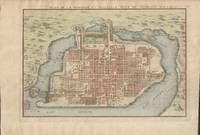
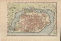
1715019811Paris. Very Good. 1715. Map. Lovely engraved map depicting Mexico City in the early 18th century. Map is on a 10 ¾" x 15 ¾" sheet that was taken from Nicolas de Fer's "L'Atlas Curieux" of 1715; no content on verso. Date of map was printed in upper margin along with the sheet number "125" and title; content in French. Hand-coloring is still bright. Map has very light toning to edges but is otherwise clean. This detailed map depicts Mexico City when it was surrounded by water and was linked to the mainland by the famous causeways originally designed by the Aztecs. Also pictured are aqueducts and farms and about 50 locations have been numbered on the map but the key is not present likely printed on another page in the Atlas. A beautiful map. . unknown books
1715019811Paris. Very Good. 1715. Map. Lovely engraved map depicting Mexico City in the early 18th century. Map is on a 10 ¾" x 15 ¾" sheet that was taken from Nicolas de Fer's "L'Atlas Curieux" of 1715; no content on verso. Date of map was printed in upper margin along with the sheet number "125" and title; content in French. Hand-coloring is still bright. Map has very light toning to edges but is otherwise clean. This detailed map depicts Mexico City when it was surrounded by water and was linked to the mainland by the famous causeways originally designed by the Aztecs. Also pictured are aqueducts and farms and about 50 locations have been numbered on the map but the key is not present likely printed on another page in the Atlas. A beautiful map. . unknown
ria9789401080354_inpPaperback. New. New Book; Fast Shipping from UK; Not signed; Not First Edition; N/A paperback
ria9781851660575_inpHardcover. New. New Book; Fast Shipping from UK; Not signed; Not First Edition; N/A hardcover
188722569ABKöln 1887. Jeweils ca 51 x 68.5 cm, zwei Bögen ca 102 x 68.5 cm.
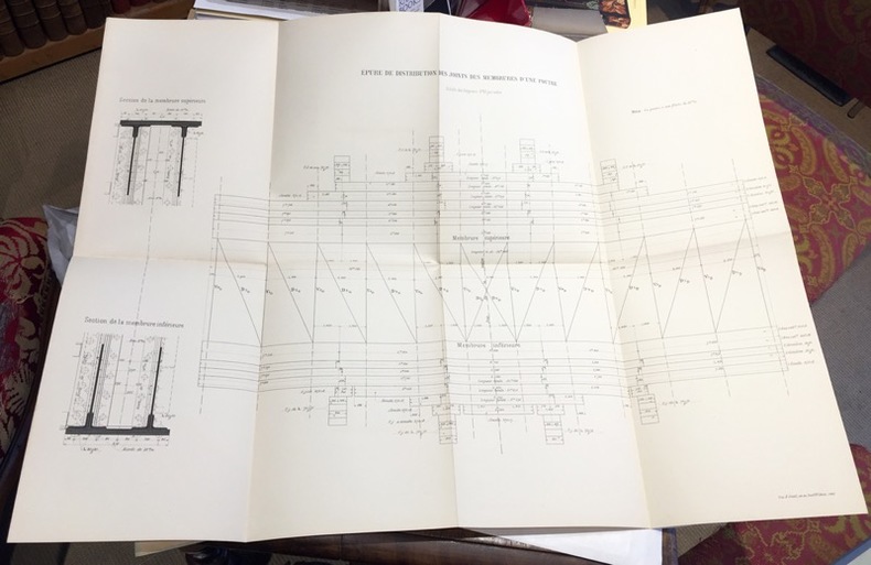
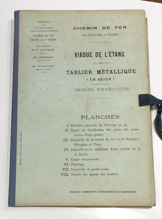
1891108701891 ; dossier petit in-folio (22 x 32 cm) ; composé d’une chemise cartonnée bleu-clair imprimée, dos toile et rubans de fermeture ; 8 grandes planches dépliantes lithographiées.I- Epure et distribution des joints des membrures d’une poutre ; II- Ensemble du tablier. Elvation et plan ; III- Demi-élévation extérieure d’une poutre au 1/10e et détails ; IV- Coupe transversale et assemblages ; V- Garde-grèves ; VI- Platelage ; VII- Détails des appuis des poutres ; VIII- Détails des garde-corps.
1891108791891 ; dossier petit in-folio (22 x 32 cm), composé d’une chemise cartonnée bleu-clair imprimée, dos de toile bleue et rubans de fermeture ; 8 grandes planches dépliantes lithographiées.I- Elévation générale de l’ouvrage au 1/500e (216 m entre les culées). II- Epure de distribution des joints des membrures d’une poutre. III- Ensemble de la travée de rive (côté Bourges), élévation et plans. IV- Demi-élévation extérieure d’une poutre au 1/10e et détails. V- Coupe transversale. VI- Platelage. VII- Passerelle et garde-corps. VIII- Détails des appuis des poutres.
L136In-4 oblong, 128 pages, nombreuses illustrations, broché.
242836Paris, A. Chaix, s.d. (1867) in-plano (121 x 86 cm), en feuille. Petites déchirures à certaines pliures.
169822511Paris Nicolas le Gras, Nicolas le Clerc et Barthelemy Girin 1698 -in-12 plein-veau 2 volumes, reliure plein veau havane moucheté in-douze (binding full calfskin in-12)(17,2 x 10,2 cm), dos à nerfs (spine with raised band), décoré or (gilt decoration), titre et tomaison frappés "or", pièce de titre sur fond rouge (label of title) avec filet "or" en encadrement, pièce de tomaison sur fond rouge (label of title) avec filet et roulette "or" en encadrement, roulette "or" en place des nerfs avec un filet à froid de part et d'autre, entre-nerfs à fleuron "or" dans un encadrement d'un filet "or" avec rinceaux "or" aux angles, restaurations anciennes aux coiffes mais fait proprement, plats ornés d'un filet à froid en encadrement, roulette "or" sur les coupes avec manques de dorures(fillets on the cuts), toutes tranches lisses jaspées rouges, orné d'un grand Plan dépliant de PARIS hors-texte gravé sur bois (engraving wood) en noir par DE FER, (VI + 402 pages + 33 Pages de tables) + ( 381 + 31 Pages de tables + 1ff. de privilège + 71 p. : "Le Nom de Toutes les Rues de Paris, par Ordre Alphabetique et les principaux quartiers ou elles se trouvent", 1698 à Paris Chez Nicolas le Gras, Nicolas le Clerc et Barthelemy Girin Editeurs,
N143Paris, Dunod, 1867-1868, 1873, 1874-1875. Trois volumes de texte in-8, 526-884-681 pages, reliure demi-basane grenat. Paris, Dunod, 1868, 1873, 1874. Atlas de XXXIII-CIX-XVI planches en trois volumes in-4 oblong reliés demi-basane grenat.
1705LBW-712Paris, 1705. 226 x 336 mm.
1760LBW-2640Paris, Desnos, 1760. 454 x 567 mm.
1714LBW-7131714. 227 x 329 mm.
1692LBW-8595[1692]. 148 x 272 mm ; contrecollé sur carton.
1702LBW-1321Amsterdam Pierre Mortier 1702 215 x 276 mm.