11 843 résultats
18992111902160200289Genpon 1899. Soft Cover. Fine. Number of pages: 130 pages Size: 24cmx16.2cm 130p Number of books: 1 Genpon paperback
2026x-1041154658Taylor & Francis Ltd 2026. Hardcover. New. 882 pages. 9.68x6.87x9.61 inches. Taylor & Francis Ltd hardcover

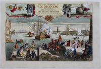
1725M4694Paris 1725. Excellent. Notes: A decorative and beautifully hand coloured title page of the important atlas L'Atlas Curieux ou Le Monde" by Nicholas de Fer. Size : 220x335 mm 8.625x13.125 Inches Coloring: Hand Colored Category: Maps Misc Curiosities Title Pages Games etc. unknown
51-6467Paris: chez l'auteur dans l'Isle du Palais sur le quay de l'orloge a la Sphére Royale avec privilége du Roy 1705-1717. Engraved text broadside and 2 engraved maps.Each 27.3 x 38cm. Contemporary laid paper uniformly time aged.Published in "L'atlas curieux ou le monde reÌpreseÌnteÌ dans des cartes geÌneÌrales et particulieres du ciel et de la terre : diviseÌ tant en ses quatre principales parties que par eÌtats et provinces et orneÌ par des plans et descriptions des villes capitales et principales et des plus superbes edifices qui les embelissent comme sont les eglises les palais les maisons de plaisance les iardins les fontaines &c. ". OCLC Number / Unique Identifier:79022119.LThe Atlas Curieux is geographic encyclopedia of images and maps of France with detailed views of the grand waterworks at Marly views of the great palaces and chateaux views and plans of the Paris Observatory and samples of military architecture. Issued in six annual parts from 1700-1705 the maps are based on the new observations of the Académie des Sciences and drawn up with the assistance of Philipe de La Hire.Library of Congress:The French cartographer and engraver Nicolas de Fer was a master at creating maps that were works of art. The maps that he published were printed during the Baroque period when the decorative arts were characterized by ornate detail. De Fer’s detailed maps and atlases were valued more for their decorative content than their geographical accuracy.Nicolas de Fer was born in 1646. His father Antoine de Fer owned a mapmaking firm. At the age of twelve Nicolas was apprenticed to a Parisian engraver named Louis Spirinx. The family business was starting to decline when his father died in 1673. Nicolas de Fer’s mother Genevieve took over the business after the death of her husband. In 1687 the business was passed on to Nicolas and the profits increased after he took over the firm. Nicolas de Fer was a prolific cartographer who produced atlases and hundreds of single maps. He eventually became the official geographer to King Louis XIV of France and King Philip V of Spain.One of de Fer’s major works is an atlas titled L’atlas curieux The curious atlas. Paris: chez l'auteur dans l'Isle du Palais sur le quay de l'orloge a la Sphére Royale avec privilége du Roy, 1705-1717 unknown
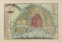
1705M4585Paris 1705. Very Good. Size : 230x340 mm 9x13.375 Inches Coloring: Hand Colored Category: Maps City Maps; Maps Europe Benelux unknown
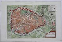
1705M5243Paris 1705. Excellent. Size : 225x320 mm 8.875x12.625 Inches Coloring: Hand Colored Category: Maps City Maps; Maps Europe Benelux unknown
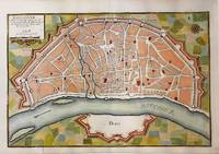
1705M5135Paris 1705. Very Good. Notes: Copper engraved plan of Cologne Köln in Germany. It is beautifully hand coloured. Size : 235x350 mm 9.25x13.75 Inches Coloring: Hand Colored Category: Maps City Maps; Maps Europe Germany unknown
1703M5179Paris 1703. Excellent. Size : 230x310 mm 9x12.25 Inches Coloring: Original Outline Coloring Category: ; Maps Asia Middle East Holy Land & Palestine unknown
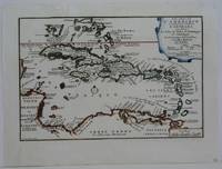
1702M5228Paris 1702. Very Good small tear in the upper left margin professionally repaired not affecting the image. Size : 225x335 mm 8.875x13.125 Inches Coloring: Hand Colored in Outline Category: ; Maps West Indies Whole unknown
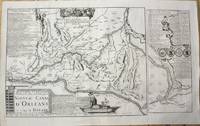
1705M10253Paris 1705. Very Good. Notes: Map showing the Canal de Briare and the Canal D'Orleans with indexes and descriptive notes on both canals. Size : 385x651 mm 15.16x25.63 Inches Coloring: Black & White Category: Maps Europe France; unknown
1705M5137Paris 1705. Excellent. Size : 235x350 mm 9.25x13.75 Inches Coloring: Black & White Category: Maps City Maps; Maps Europe Germany unknown
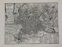
1700M5227Paris c.1700. Very Good. Size : 240x310 mm 9.5x12.20 Inches Coloring: Black & White Category: Maps City Maps; Maps Europe Italy Rome unknown
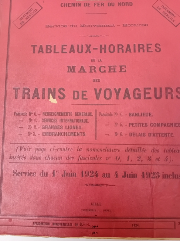
L171Lille, Imprimerie L. Danel, 1924. In-4 (24x32 cm.), 133-XVI pages, cartes des grandes lignes et embranchements, banloieue de Paris, cartonnage.
ARR-126711021Un-4 oblong, 16 pp. (tables et tableaux), 35 planches de diagrammes au 1/100e, cartonnage demi-toile.
N171N°1 (Octobre 1938) à 82 (Novembre 1951), 87 (Avril 1952) à 100 (Mai 1953), 102, 103, 105 (Octobre 1953) à 218 (Décembre 1963).
CF443Grand in-4, III-77 pages, nombreux dessins, illustrations, croquis, cartonnage toilé.
ARR-126710979In-4 oblong, table, 16 photos originales 22x14 cm avec descriptif, pl. percaline moderne.
WL27Livret 12x23,5 cm., 322 pages, relié pleine toile, couverture conservée. Imprimerie Monnom, Bruxelles.
1909CF455Raon-l'Etape, Imprimerie L. Geisler, 1909. Catalogue in-4 oblong, 53 pages, photos de pleine page du matériel, broché.
Mm 315x430 Volume rilegato che raccoglie le annate 1893-1895 del periodico mensile di pp. 216, con numerose illustrazioni in bianco e nero e tavole in prevalenza in bianco e nero. Legatura assai allentata, con pagine parzialmente distaccate, ma opera completa. SPEDIZIONE IN 24 ORE DALLA CONFERMA DELL'ORDINE.
1368941Marignagne: , 1992 in-4, 240 pages, illustrations, 1 f. libre d'errata. Broché, bon état. Ouvrage de référence sur les objets en fer de l'Afrique de l'Ouest, rare et recherché.
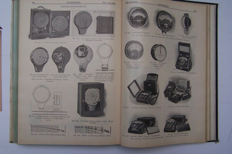
L159New York, Simmons-Boardman, 1912. In-4 (21x29 cm.), 526 pages, 23 pages (advertisements), 3899 figures, cartonnage.
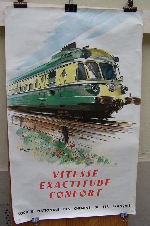
AFF65S.N.C.F., 1958. Affiche 60x98 cm. illustrée par Albert BRENET. Non entoilée. Imprimerie SAPHO, Paris.
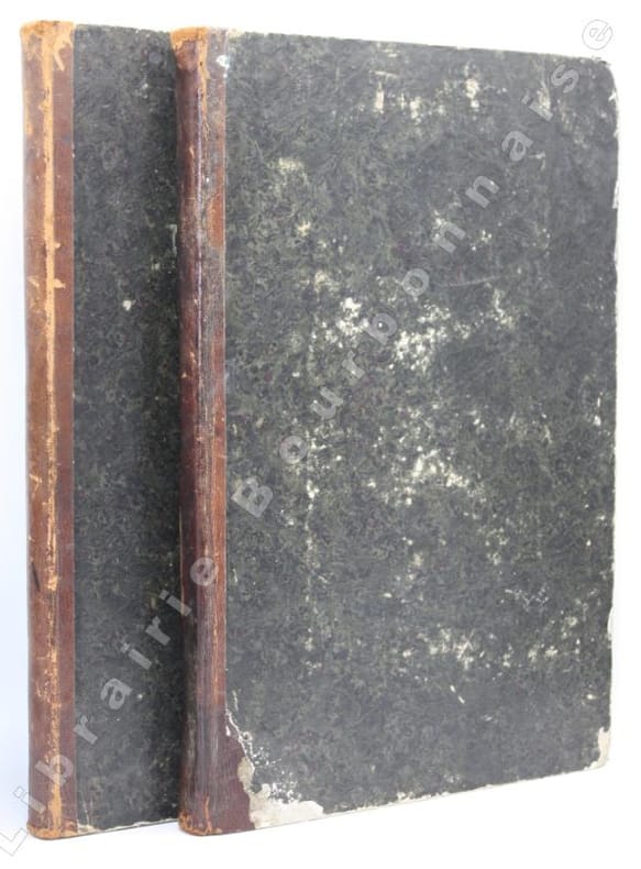
13622Paris, [Encyclopédie des Arts et Métiers], Imprimerie Guerin & Delatour, 1762 ; 2 vol. in-folio (43 x 28 cm). 141 pp.- 16 planches / 2ff.-196 pp.-9 planches. Demi-basane brune, dos lisses muets (rel. XIXe s.). Mouillures marquées au premier volume.