11 843 résultats
32253N.P. London N.D. 1756. First Edition folding table at end with a clean tear and no loss of text some waterstaining on lower part of six leaves 26 pp. modern marbled wrappers. The folding table of forges gives "An Account of the Quantity of Iron they have annually made and do now make according to the best Information we could get. --- What Forges are in Scotland we have been capable of getting any Information." Also showing the past and present annual tonnage produced. With a note "N.B. The making of British Iron hath gradually decreased in proportion to the increase of the importation of Foreign". The decrease in the present year being 7295 tons. Kress 5531; Goldsmith 9108; Hanson 6055 dated c1747; The British Library suggests the date as 1736; Higgs 1181. N.P., [London], N.D., [1756?] unknown
First Edition, folding table at end, (with a clean tear and no loss of text) some waterstaining on lower part of six leaves, 26 pp., modern marbled wrappers. The folding table of forges gives "An Account of the Quantity of Iron they have annually made and do now make according to the best Information we could get. --- What Forges are in Scotland we have been capable of getting any Information." Also showing the past and present annual tonnage produced. With a note "N.B. The making of British Iron hath gradually decreased in proportion to the increase of the importation of Foreign". The decrease in the present year being 7,295 tons. Kress, 5531; Goldsmith, 9108; Hanson, 6055 (dated c1747?); The British Library suggests the date as [1736?]; Higgs 1181.
592351705. Rahmengrösse: 39 x 48 24 x 33 cm Goldrahmen u. Passepartout tadell. Nicolas de Fer 1646 -1720 in Paris einer der führenden französischen Kartographen und Kartenverleger schuf zahlreiche Atlanten und spezialisierte sich auf die Veröffentlichung von Drucken zu aktuellen Ereignissen: Karten von Grenzverläufen oder neueroberten Gebieten sowie Karten von Städten die vom französischen Festungsbaumeister Vauban ausgebaut wurden. 600 1705 unknown
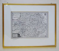
104521aafA Paris chez le Sr. de Fer dans l’Isle du Palais sur le Quay de l’Horloge à la Sphère Royale Avec privilege du Roi, 1705, 23x33 cm, carte gravée sur cuivre, 1 feuille / 1 Blatt (27x41 cm),
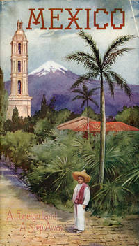
190753081St. Louis: Sam'l F. Myerson Prtg. Co. n.d. ca 1907. ca 1907. 8 3/4" x 5" in colorful pictorial wrappers. 52pp. Map. Black and white illustrations throughout. Information on preparing for a trip to Mexico followed by information and photographs of what might expect to see and experience along the way from St. Louis to Mexico City. Photographs and information on Topo Chico Monterrey Saltillo Cedral Bocas San Luis Potosi Tampico Queretaro Patzcuaro Chapultepec the Viga Canal Mexico City bullfights ancient pyramids etc. A wonderful collection of photographs taken by S.W. Matteson C.W. Archer and C.B. Waite. Fold-out map 14 1/2" x 8 3/4" showing system route from St. Louis to Mexico City inside rear wrapper. Covers and title page lightly soiled. Crease at top corner of front wrapper and with 1/2" closed tear along with scuffing and rubbing to both wrappers and to spine. Very good. A very nicely produced booklet. Sam'l F. Myerson Prtg., Co., n.d. [ca 1907]. unknown
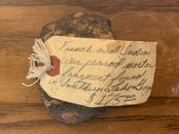
1990765953269876554466<p>Rare Original Exploded Fragment from a Eighteenth Century French and Indian War French Mortar Shell. Found at Southern end of Lake George outside Fort William Henry. Four inches long. Three inches Wide. Purchased from a Museum curator from Fort Ticonderoga. Curotors tag on Fragment. See our Three Geese in Flight Books Scans</p>
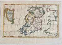
1689322292Paris: Nicolas De Fer 1689. unbound. Map. Engraving with original hand outline color. Sheet measures 13" x 9.5". Image measures 12.75" x 7.25".<br/> <br/> This is a lovely 1689 map of Ireland by Nicolas De Fer. Depicts the Emerald Isle in its entirety color coded and subdivided into its four provinces of Ulster Connacht Leinster and Munster. Parts of Scotland the Isle of Man and England and Wales are also visible. Major towns lakes rivers and islands are noted in Ireland and mountains beautifully rendered in profile. The title cartouche represents the Celtic Harp. The map is in good condition with minor toning along the original fold. Original platemark visible.<br> <br> Nicolas de Fer 1646-1720 was a prolific cartographer engraver and publisher who took over the family map business from his mother when she retired in 1687. The business flourished and he gained a great reputation in his lifetime and was appointed 'Geographer to the King' in 1690. This map demonstrates his skill and provides a curious yet alluring mixture of history and geography.<br/> <br/> Nicolas De Fer unknown
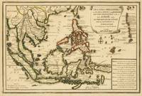
1702143641Paris: Nicolas de Fer 1702. Very Good. Paris Nicolas de Fer circa 1702. A hand-coloured engraved map printed surface 225 × 339 mm sheet size 250 × 361 mm. Engraved by Charles Inselin. Light tanning; a few unobtrusive spots and marks; crease to the border in the top right-hand corner with minimal loss to the marginal corner-tip; in very good condition. A map of the Philippines the Indonesian archipelago mainland Southeast Asia as far north as Taiwan and the Mariana Islands from de Fer's 'Atlas Curieux' 1700-1705. Nicolas de Fer unknown
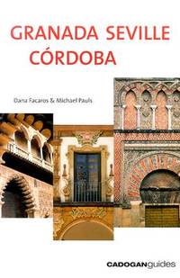
2004DADAX1860111440Brand: Cadogan Guides 2004-03-01. 3rd. paperback. New. 5.50x0.75x8.25. Buy with confidence. Excellent Customer Service & Return policy. Brand: Cadogan Guides paperback
Very Good English Paperback. Pbo. 4to. (30 x 22 cm). In Ottoman script and French. Light robbed on spine. Some words underlined. 31, [1], 27, [1] p. A good copy. Ozege: -. Extremely rare. A rare contract on Anatolian Railways. Republique Turque Ministere des Travaux Publics Contrat concernant la construction des lignes des chemins de fer Fevzi-Pacha-Diarbekir & Irmak - Filios.= Türkiye Cumhuriyeti Nafia Vekâleti Irmak - Filyos ve Fevzi Pasa - Diyarbekir hatlari insaat mukavelenâmesi.
190652925Philadelphia PA: Penn Metal Ceiling & Roofing Co. 1906. Oblong folio. 14 x 10.25 in. 62 pp. With over 300 woodcut-engraved text illustrations diagrams and photo illustrations. Quarter-gray cloth over limp gray embossed printed softcovers Arts & Crafts style decoration & ornamental letters in embossed raised silver & white lettering slight shelfwear still a NF copy. First edition of this scarce and lavishly illustrated catalogue of Edwardian architectural and ornamental ironwork filled with designs and illustrations for metal ceiling and side wall paneling and tiles; ornamental rock-faced stone & pressed steel brick; decorative iron awnings; galvanized steel and iron crestings cornices mouldings metallic cresting blocks ornamental finials corrugated roofing and siding weathervanes ventilators and skylights. In addition this catalogue includes an illustrated section of the necessary tools paint brushes and edging tongs required to install maintain and paint the attached metal pieces. Sagendorph 1842-1909 a Rhode Island Civil War veteran founded the Penn Metal Ceiling & Roofing Co. in 1889 and quickly became one of the largest manufacturers of corrugated iron & steel roofing galvanized pipe pressed metal ceilings and more. Sagendorph who had founded his first manufacturing company in 1869 was also a noted inventor and manufacturers securing over 100 patents for sheet metal manufacturing machinery with emphasis on his methods of corrugating metal sheets by means of rolls. Worldcat locates 3 copies Cleveland Public Hagley Univ. of Chicago; See: Penn Metal Company Seventy-fifth Penn Metal Year 1869-1944. Penn Metal Ceiling & Roofing Co., paperback
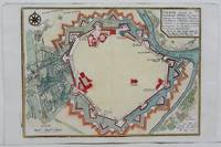
1705M4699Paris 1705. Excellent. Size : 245x340 mm 9.625x13.375 Inches Coloring: Hand Colored Category: Maps City Maps; Maps Europe Austria unknown
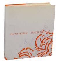
2013199941Zurich Switzerland: Hauser & Wirth and Xavier Hufkens in association with JRP/Ringier 2013. First edition and first printing. Hardcover. Text in English by Briony Fer and Tacita Dean. Includes color illustration of 153 drawings by Roni Horn. A clean near fine copy in orange cloth boards with some light bumping to the top edge of the rear board and to the top right corners and in a near fine dust jacket with some minor wear. Please note that this is a heavy and oversized book and will require extra shipping. Hauser & Wirth and Xavier Hufkens in association with JRP/Ringier unknown
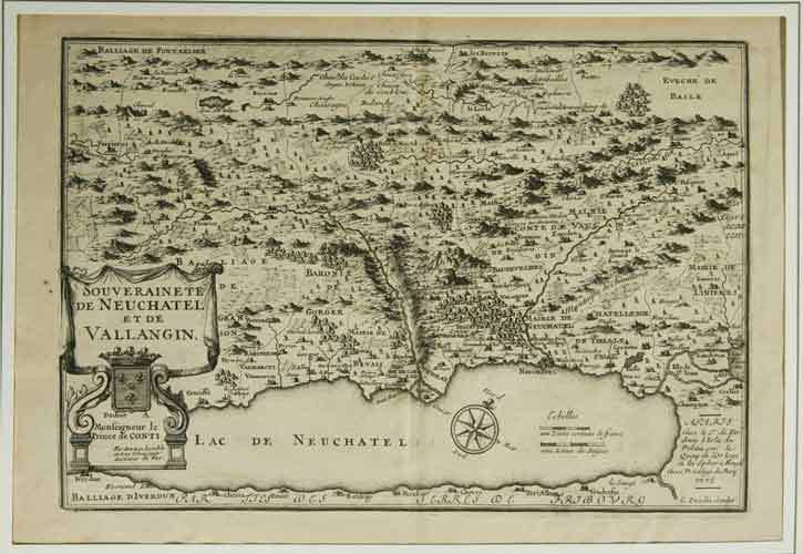
1705M5140Paris 1705. Excellent. Size : 230x345 mm 9x13.625 Inches Coloring: Black & White Category: ; Maps Europe France unknown
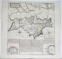
1715M4751Paris 1715. Very Good slight wear at the center of the fold. Size : 350x320 mm 13.75x12.625 Inches Coloring: Black & White Category: ; Maps Europe United Kingdom unknown
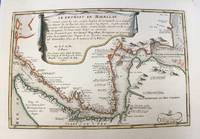
1700M5178Paris 1700. Very Good. Size : 225x340 mm 8.875x13.375 Inches Coloring: Original Outline Coloring Category: Maps South America Countries; unknown
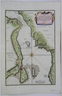
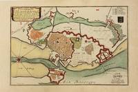
1705M5485Paris 1705. Very Good. Notes: Map of strait between Sweden and Denmark. Size : 335x225 mm 13.125x8.875 Inches Coloring: Hand Colored Category: Maps Europe Scandinavia Countries; unknown
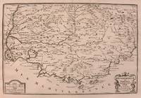
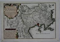
1708M5770Paris 1708. Very Good. Size : 240x345 mm 9.5x13.625 Inches Coloring: Hand Colored Category: ; Maps Europe France unknown
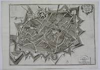
1705M5142Paris 1705. Excellent. Size : 237x346 mm 9.375x13.625 Inches Coloring: Black & White Category: Maps City Maps; Maps Europe France unknown
1700M10974Paris 1700. Very Good. Notes: Map of Copenhagen Capital of Denmark. Size : 227x337 mm 8.94x13.27 Inches Coloring: Hand Colored Category: Maps Europe Scandinavia Countries; Maps City Maps; unknown
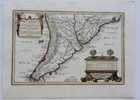
1704M5174Paris 1704. Excellent. Notes: French Map of Chile by renowned French cartographer. Size : 235x340 mm 9.25x13.375 Inches Coloring: Original Outline Coloring Category: Maps South America Countries; unknown
183753481N.p. n.d. 1837. 8vo pp. 36; large folding lithograph frontispiece of the Iron Mountains of Missouri one other full-page map; removed from binding; very good. American Imprints notes 3 editions in 1837: Hartford Philadelphia and Boston. The present edition is not located in American Imprints. Missouri Imprints 197. unknown
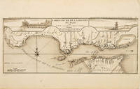
171053828Atlas Curieux ou le Monde. c.1710. The lower half of this attractive engraving shows the mouth of the Tagus from the sea to Lisbon showing the coastline settlement and fortification in detail. Title at top centre flanked by two views- To the left the 'Palais Royal de Lisbonne' and to the right 'Le Chateau de Belem'. Copper engraving. Fine condition. Uncoloured. Size: 405 x 175 mm. 16 x 7 inches. unknown
2017x-113882058XTaylor & Francis 2017. Hardcover. New. 272 pages. 9.25x6.25x0.75 inches. Taylor & Francis hardcover