Hierro, JoseBiblio.com
11 843 résultats
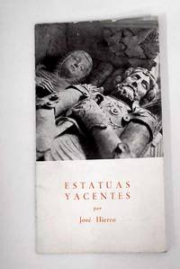
19552309292Santander. 1955. Paperback. Cubierta deslucida. Good. 20 cm. 22 p. Encuadernación en tapa blanda de editorial ilustrada. Hierro José 1922-2002 . Cubierta deslucida. Literatura española. Poesía lírica. Siglo XX. 821.134.2-14"19" 821.134.2-1 paperback
2022x-1032245042Routledge 2022. Hardcover. New. 192 pages. 9.18x6.12x0.80 inches. Routledge hardcover
Very Good Turkish Paperback. 32mo. (9 x 6 cm). In Turkish. 25 original b/w gelatin silver photographs in 12 joined page plates. This extremely rare miniature souvenir album shows the stations, bridges and their constructions, the first moving trains, railways, opening celebrations and visits of the Turkish ministers, opening speech, etc. during the opening of the Irmak-Filyos railways on 12 November 1935 Irmak-Filyos line which was opened by Ali Çetinkaya (1878-1949), who was an Ottoman-born Turkish army officer and politician, who served eight terms in the Grand National Assembly of Turkey. Çetinkaya also can be seen in some photos of the album. "The Republic of Turkey, which tried to overcome the destructive effects of the war, took an important step toward reaching economic independence and transporting natural resources to the different regions of the country. The Grand National Assembly of Turkey approved the Law on the Ankara-Eregli Railway Line under the name 'The Railway Leading to Coal'. This important railway line, which the young Republic of Turkey wished to establish to face the future and move forward, was going to run between the coal city Zonguldak and Irmak station, near the capital Ankara. The construction of the railway started on 7th February 1927 and the 102-kilometer line, running between Irmak and Çankiri, became operative on the 23rd of April 1931. The railway between Irmak-Filyos, which had a total length of 391 kilometers, went into operation on 12th November 1935 with a ceremony held in Filyos. It comprised 27 stations, 1368 culverts, and bridges and 37 tunnels, and had a total length of 8800 kilometers.". (Source: Irmak Karabük Zonguldak Railway Line - UDHB). "Foto Birlik" was the most important photography studio in Zonguldak city which was an eyewitness in the early period of Republican Turkey. No copy in OCLC.; No copy in the Turkish National Library.
Lower corners slightly bumped. Else minor shelfwear to book. DJ has slight sunning to front panel. Minor shelfwear to DJ. ; Contents: - Palaces of Cypriot kings / by Maier, FG. - Ateliers de figurines à Kition / Yon, M and Caubet, A. - The Cypriot contribution to Archaic Greek glyptic / Boardman, J. - New Cypriot finds from the Heraion of Samos / Kyrieleis, H. - A rural cult place in the Soloi area / Loulloupis, MC. - Les frères Palma di Cesnola et leur correspondence / Masson, O. - Early Greek visitors to Cyprus and the eastern Mediterranean / Coldstream, JN. The paradise flower, a `court style' Phoenician ornament: its history in Cyprus and the central and western Mediterranean / Shefton, BB. - Cultural affinities between Philistia and Cyprus during the 12th to 10th centuries / Dothan, T. - Aphrodite from Paphos and from Egypt / Daszewski, WA. - Varia: matters arising from the preparations for the A G Leventis Gallery / Tatton-Brown, V. From rags to riches: two textile fragments from Cyprus / Granger-Taylor, H and Jenkins, ID and Wild, JP. - Alexander the false prophet and his god Asclepius-Glycon: remarks concerning the representation of Asclepius with an egg / Grimm, G. - The coinage of Roman Cyprus / Carradice, I. - Roman sculpture in Cyprus: imperial art and the local tradition / Senff, R. ; 196 pages
2019x-0367150190Routledge 2019. Hardcover. New. 144 pages. 9.50x6.25x0.75 inches. Routledge hardcover
218412Paris: Librairie Générale de L'Architecxture et des Travaux Publics Ducher et Cie nd. Missing 6 20 26 30 32 50 83 of 84 plates 2 of plate 22. 2 page of text. 1 vols. Folio. In portfolio. Some foxing to plates else near fine. Missing 6 20 26 30 32 50 83 of 84 plates 2 of plate 22. 2 page of text. 1 vols. Folio. Librairie Générale de L'Architecxture et des Travaux Publics Ducher et Cie unknown
19000086438Wisconsin: np 1900. Wraps. Very Good. A large unique book ca. 1900 14 x 8.5 inches vertically oriented; softcover about 100 pages of typescript in purple carbon very seldom with ink corrections culled from “The Republic†— probably the Baraboo Republic a newspaper of the period published in Baraboo the county seat of Sauk County Wisconsin this book with material relating to the Iron Brigade the 6th Wisconsin Regiment of volunteers who fought for the Union in the Civil War and also concerning the Sauk County Riflemen. It apparently was compiled by a veteran-turned-historian who concludes this compilation writing “Returned to private life -- became the 'man behind the hoe' instead of 'behind the gun.’†Very rare and a great resource for anyone interested in this period of Wisconsin history. np unknown
980372London: E. F. Beadle and Co. Very Good-. N.D. Three-Quarter Leather. Six novellas of about 100 pages each bound into a single volume -- no over-all title page indicating that this was likely done by the owner rather than the publisher. The spine label carries the title "American Stories. No dates but the various titles date from the mid-1800's. Red leather with black title band. Nice condition with some rubbing to boards. Owner name. Good quality paper - bright and clean. ; 16mo 6" - 7" tall . E. F. Beadle and Co. hardcover
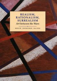
1993055303New Haven and London: Yale Univiersity Press in Association with the Open Univeirsity 1993. 2d Printing. 342p. colored and b/w illus. original stiff printed wrappers Modern art practices and debates. Yale Univiersity Press in Association with the Open Univeirsity unknown
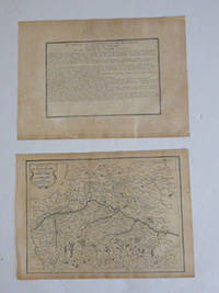
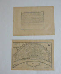
51-6464Paris: chez l'auteur dans l'Isle du Palais sur le quay de l'orloge a la Sphére Royale avec privilége du Roy 1705-1717. Engraved text broadside and engraved map.Each 27.3 x 38cm. Contemporary laid paper uniformly time aged.Published in "L'atlas curieux ou le monde reÌpreseÌnteÌ dans des cartes geÌneÌrales et particulieres du ciel et de la terre : diviseÌ tant en ses quatre principales parties que par eÌtats et provinces et orneÌ par des plans et descriptions des villes capitales et principales et des plus superbes edifices qui les embelissent comme sont les eglises les palais les maisons de plaisance les iardins les fontaines &c. ". OCLC Number / Unique Identifier:79022119.LThe Atlas Curieux is geographic encyclopedia of images and maps of France with detailed views of the grand waterworks at Marly views of the great palaces and chateaux views and plans of the Paris Observatory and samples of military architecture. Issued in six annual parts from 1700-1705 the maps are based on the new observations of the Académie des Sciences and drawn up with the assistance of Philipe de La Hire.ibrary of Congress:The French cartographer and engraver Nicolas de Fer was a master at creating maps that were works of art. The maps that he published were printed during the Baroque period when the decorative arts were characterized by ornate detail. De Fer’s detailed maps and atlases were valued more for their decorative content than their geographical accuracy.Nicolas de Fer was born in 1646. His father Antoine de Fer owned a mapmaking firm. At the age of twelve Nicolas was apprenticed to a Parisian engraver named Louis Spirinx. The family business was starting to decline when his father died in 1673. Nicolas de Fer’s mother Genevieve took over the business after the death of her husband. In 1687 the business was passed on to Nicolas and the profits increased after he took over the firm. Nicolas de Fer was a prolific cartographer who produced atlases and hundreds of single maps. He eventually became the official geographer to King Louis XIV of France and King Philip V of Spain.One of de Fer’s major works is an atlas titled L’atlas curieux The curious atlas. Paris: chez l'auteur dans l'Isle du Palais sur le quay de l'orloge a la Sphére Royale avec privilége du Roy, 1705-1717 unknown
51-6460Paris: chez l'auteur dans l'Isle du Palais sur le quay de l'orloge a la Sphére Royale avec privilége du Roy 1705-1717. Engraved text broadside and engraved map.Each 27.3 x 38cm. Contemporary laid paper uniformly time aged.Published in "L'atlas curieux ou le monde reÌpreseÌnteÌ dans des cartes geÌneÌrales et particulieres du ciel et de la terre : diviseÌ tant en ses quatre principales parties que par eÌtats et provinces et orneÌ par des plans et descriptions des villes capitales et principales et des plus superbes edifices qui les embelissent comme sont les eglises les palais les maisons de plaisance les iardins les fontaines &c. ". OCLC Number / Unique Identifier:79022119.LThe Atlas Curieux is geographic encyclopedia of images and maps of France with detailed views of the grand waterworks at Marly views of the great palaces and chateaux views and plans of the Paris Observatory and samples of military architecture. Issued in six annual parts from 1700-1705 the maps are based on the new observations of the Académie des Sciences and drawn up with the assistance of Philipe de La Hire.ibrary of Congress:The French cartographer and engraver Nicolas de Fer was a master at creating maps that were works of art. The maps that he published were printed during the Baroque period when the decorative arts were characterized by ornate detail. De Fer’s detailed maps and atlases were valued more for their decorative content than their geographical accuracy.Nicolas de Fer was born in 1646. His father Antoine de Fer owned a mapmaking firm. At the age of twelve Nicolas was apprenticed to a Parisian engraver named Louis Spirinx. The family business was starting to decline when his father died in 1673. Nicolas de Fer’s mother Genevieve took over the business after the death of her husband. In 1687 the business was passed on to Nicolas and the profits increased after he took over the firm. Nicolas de Fer was a prolific cartographer who produced atlases and hundreds of single maps. He eventually became the official geographer to King Louis XIV of France and King Philip V of Spain.One of de Fer’s major works is an atlas titled L’atlas curieux The curious atlas. Paris: chez l'auteur dans l'Isle du Palais sur le quay de l'orloge a la Sphére Royale avec privilége du Roy, 1705-1717 unknown
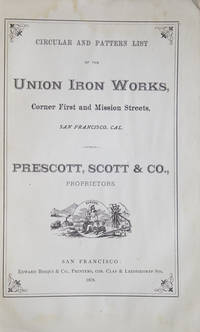
1878304778San Francisco: Prescott Scott & Co. Proprietors. Edward Bosqui Printer 1878. Illustrated. 274 pp. 8vo. Illus. wrapper front cover off. VG. Illustrated. 274 pp. 8vo. Not in Romaine Prescott, Scott & Co. Proprietors. Edward Bosqui, Printer unknown books
218412Paris: Librairie Générale de L'Architecxture et des Travaux Publics Ducher et Cie nd. Missing 6 20 26 30 32 50 83 of 84 plates 2 of plate 22. 2 page of text. 1 vols. Folio. In portfolio. Some foxing to plates else near fine. Missing 6 20 26 30 32 50 83 of 84 plates 2 of plate 22. 2 page of text. 1 vols. Folio. Librairie Générale de L'Architecxture et des Travaux Publics Ducher et Cie unknown books
2019x-0198812760Oxford Univ Pr 2019. Hardcover. New. 506 pages. 9.25x6.25x1.50 inches. Oxford Univ Pr hardcover
11414ABo.J. 17.9 x 28.8 cm, Ecken (zum Achteck) abgeschrägt.
A9P., Guillaumin, 1846. In-4, 23-3pp., 2pl. dépl. h.t., cartonnage Bradel, couverture conservée.
CFE12Livret 19x27 cm, 215 pages, cartonnage.
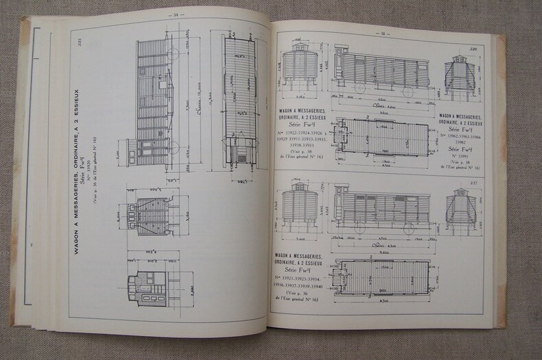
CF504Vanves, Les arts photographiques appliqués, 1928. In-4 (21x27 cm.), 130 pages contenant 124 diagrammes des voitures et wagons tracés à l'échelle de 1/100e. Bien complet de la page 106bis contenant le diagramme 398bis.
CF250bisEnsemble de deux dossiers 22x30 cm., contenant 15 et 9 fascicules.
ARR-126710999Catalogue N° 106, In-4, 64 pp., toutes illustrées de photos ou croquis, br.
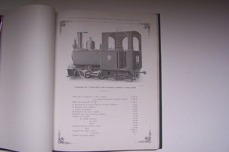
ARR-126710978In-4, XIV pp. (table des matières,abréviations, classification et numérotage), 203 pp., 3 croquis de gabarits, cartonnage.
L164Deux volumes in-4 (22x28cm.), 388-460 pages, publicités hors-texte, cartonnage.
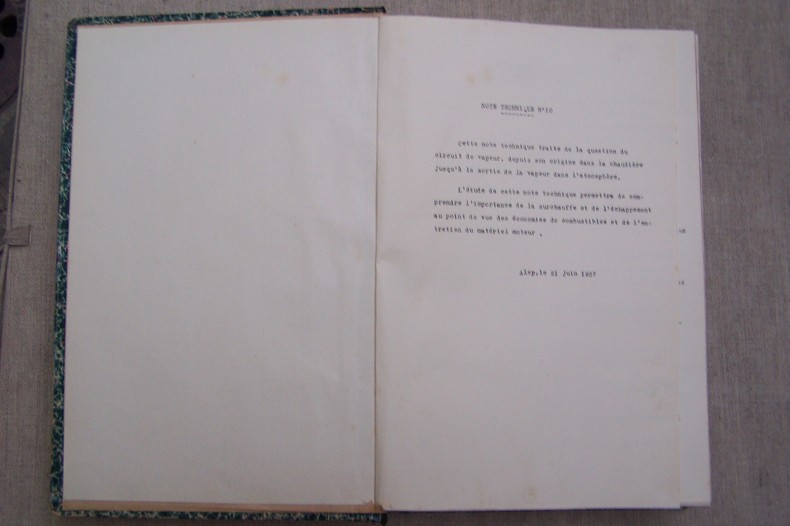
L128Alep, 1937. In-4, 269 pages, 109 planches numérotées de 1 à 105 (incluses les planches 12, 29, 63 et 64 bis).
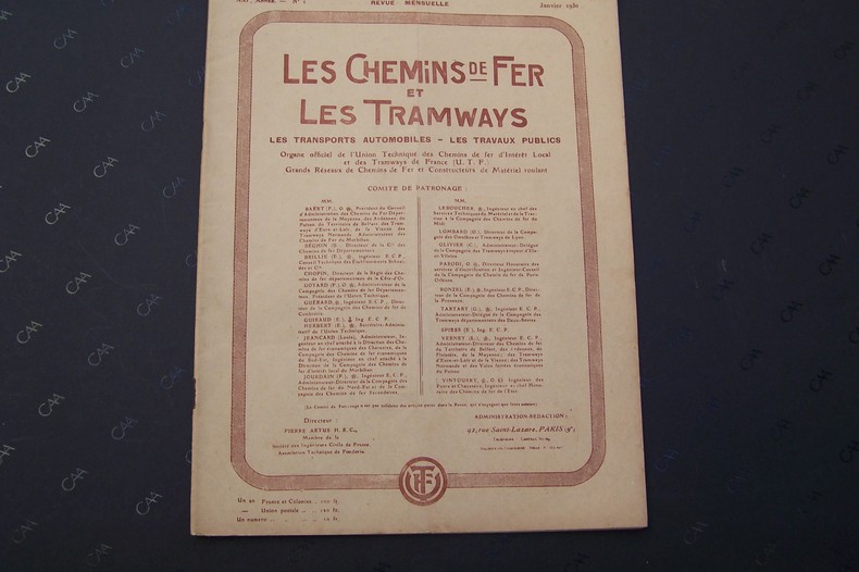
N49N° 1 (Janvier 1930). Nos 1 à 10, 12 (1931). Nos 1, 2, 3, 5, 6, 7, 9, 10, 11, 12 (1932). N° 5 (Mai 1934). N° 7 (Juillet 1935). Nos 3, 11 (1936). N° 8-9 (Août-Septembre 1937).