Marc FerroBiblio.com

11 843 résultats
ria9780415140072_inpHardcover. New. New Book; Fast Shipping from UK; Not signed; Not First Edition; The first comprehensive synthesis and analysis of colonialism from its origins to the present. Using a non-Eurocentric approach Ferro compares all the European colonial powers as well as Arab Turk and Japanese colonialism. hardcover
137025New York: J.L. Mott Iron Works 1905. 4to card covers Very good. 131pp. Illustrations index. The covers are lightly soiled the spine is a bit twisted and has wear at the top and bottom including a one inch chip from the bottom. Trade Catalogs Hospital Equipment Plumbing Fixtures Trade Catalogs. J.L. Mott Iron Works Paperback
20192-036899614XBlurb 2019. Hardcover. New. 474 pages. Spanish language. 8.27x5.28x1.50 inches. Blurb hardcover
20192-0464004039Blurb 2019. Hardcover. New. 470 pages. Spanish language. 8.27x5.32x1.38 inches. Blurb hardcover
18428887ABPrag, Medau (ca 1842). 14.5 x 20.2 cm. Legende mit kl. (ergänzter) Fehlstelle.
186070053ABKöln, DuMont-Schauberg 1860. 4°. 26 S. (und viele - teils gefaltete - Anlagen). Pappband der Zeit mit Papier-Rückenschildern. Etwas gebräunt, Stempel am Titel. Leicht, Kanten stärker, berieben, Ecken etwas bestoßen. Rücken mit Bezugsfehlstelle.
3570chaix 1938 fort in 4 relié pleine toile 605 pages - plan, croquis, tableaux hors texte
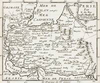
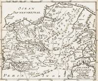
1700399AG1700. Paris c. 1700. Original copper engraved maps. 16 cm wide x 13.2 cm high. Mounted on paper. Very good condition. From a wonderful collection of Maps from an old english library South Shields - with a tiny library stamp to the mounting paper The stamp is NOT on the Map. Nicolas de Fer 164625 October 1720 was a French cartographer and geographer. De Fer was the youngest of three sons of Antoine de Fer who was also a cartographer. When he was 12 he became the apprentice of Parisian engraver Louis Spirinx and made his first map of the Canal du Midi at the age of 23. After the death of his father in June 1673 his mother Geneviève initially took over the map making company which had begun to decline. She passed it and the atelier called Quai de L'Horloge on to Nicolas in 1687 because of her old age. De Fer was so successful at improving the firm that in 1690 he became the official geographer to Louis Dauphin of France. With support from the Spanish and French Royal Families de Fer also became official geographer for Philip V and Louis XIV the kings of Spain and France respectively. Because of this his maps became Bourbon propaganda endorsing French King Louis XIV. His business flourished producing town plans atlases wall maps and more than 600 sheet maps. He made maps of places in Europe and North America including New Spain places fortified by Vauban the Low Countries and the War of the Spanish Succession. In 1698 de Fer published a map of North America which included a depiction of beavers building dams near Niagara Falls. Seventeen years later Herman Moll published a map which plagiarized elements of de Fer's work particularly the beaver scene. It became known as the "Beaver map". De Fer became the official geographer for His Catholic Majesty in 1720. Two of his sons-in-law Guillaume Danet and Jaques-François Bénard continued the company after de Fer's death on 25 October of that year until around 1760. Wikipedia unknown
188610422Bruxelles, Librairie Universelle De Vve J. Rozez, (1886). mit 36 teils doppelblattgroßen Chromolithographien auf Tafeln mit Seidenhemdchen. (blindgepr.) ill. OLwd., 78 S. + 26 Taf., Ganzgoldschnitt, Gr.8° quer (= 25,7 x 39,6 cm) [4 Warenabbildungen]
9891Nancy, Imprimerie Grandville, 1932. 1 volume in-8, 457 pp., reliure moderne plein cuir, couvertures imprimées conservées, très bon état.
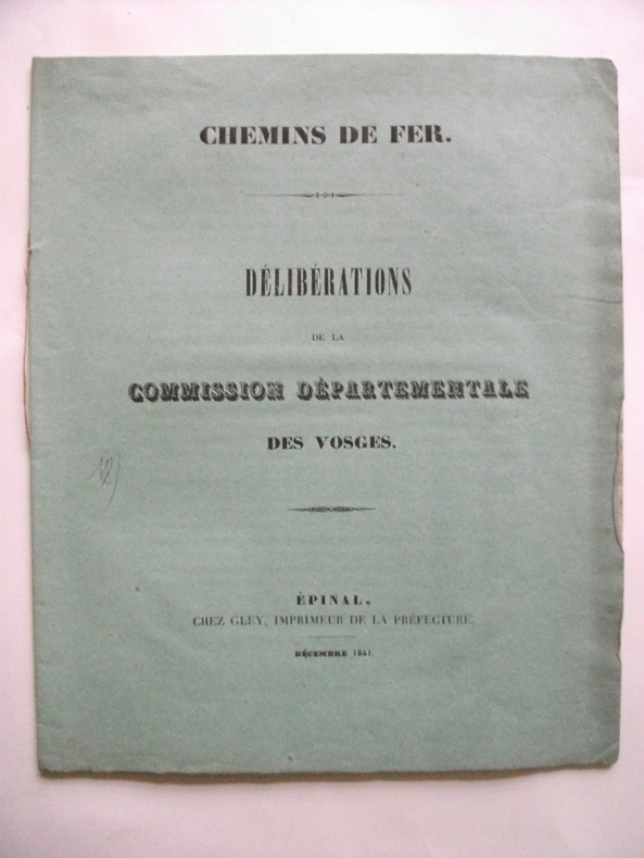
4883in 8 broché,carré.20 pages.Epinal chez Gley imprimeur de la préfecture Décembre 1841 très bon état Rare
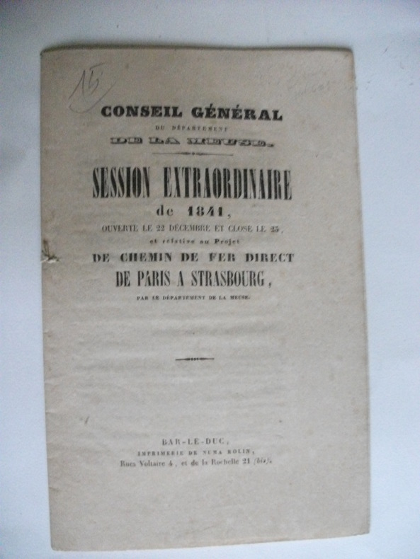
4886In 12 broché, couverture imprimée,16 pages,Bar le Duc imprimerie de Numa Rolin très bon état.Rare
4885Collectif Chemin de fer direct de Paris à Strasbourg in 12 broché,couverture imprimée,titre,19 pages,sur beau papier vergé.Châlons-sur-Marne imprimerie de T.J martin 1841. Rare
4881Extrait du registre des délibérations de la ville de Chalons- sur-Marne séance du 2 avril 1844.In 4 broché couverture imprimée ornée d’une vignette,32 pages,un tableau,1 carte;Châlons Imprimerie T.J Martin 1844.Très bon état Rare 220€ (photo)
4882In 8 broché,titre avec une vignette,20 pages,non coupé,1 tableau dépliant.Châlons imprimerie de Bonier Lambert 1841. Très bon état.Rare
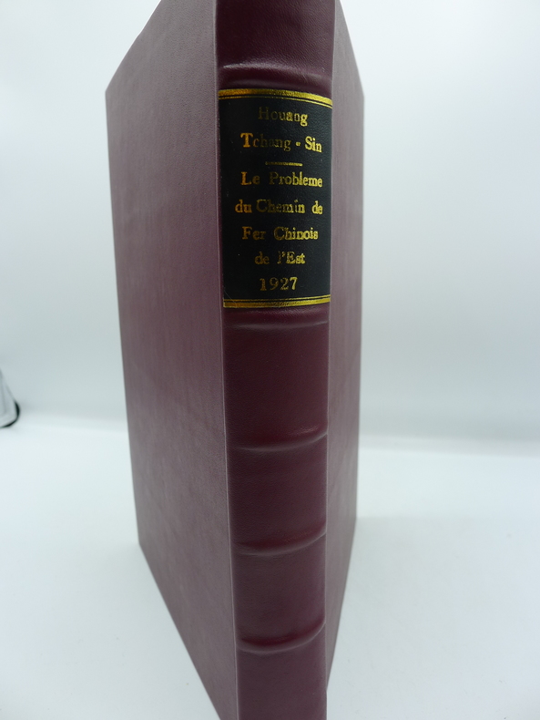
7700Paris, Les Ecrivains Réunis, 1927. 1 volume in-8, 457 pp., reliure moderne plein cuir, enrichi de 4 cartes sur 2 planches in fine (Carte de la Mandchourie et Carte des Régions Economiques dépendant du C.F.C.E.), très bon état.
1700402AG1700. Paris c. 1700. Original copper engraved maps. 15.5 cm wide x 13 cm high. Mounted on paper. Very good condition. From a wonderful collection of Maps from an old english library South Shields - with a tiny library stamp to the mounting paper The stamp is NOT on the Map. Nicolas de Fer 164625 October 1720 was a French cartographer and geographer. De Fer was the youngest of three sons of Antoine de Fer who was also a cartographer. When he was 12 he became the apprentice of Parisian engraver Louis Spirinx and made his first map of the Canal du Midi at the age of 23. After the death of his father in June 1673 his mother Geneviève initially took over the map making company which had begun to decline. She passed it and the atelier called Quai de L'Horloge on to Nicolas in 1687 because of her old age. De Fer was so successful at improving the firm that in 1690 he became the official geographer to Louis Dauphin of France. With support from the Spanish and French Royal Families de Fer also became official geographer for Philip V and Louis XIV the kings of Spain and France respectively. Because of this his maps became Bourbon propaganda endorsing French King Louis XIV. His business flourished producing town plans atlases wall maps and more than 600 sheet maps. He made maps of places in Europe and North America including New Spain places fortified by Vauban the Low Countries and the War of the Spanish Succession. In 1698 de Fer published a map of North America which included a depiction of beavers building dams near Niagara Falls. Seventeen years later Herman Moll published a map which plagiarized elements of de Fer's work particularly the beaver scene. It became known as the "Beaver map". De Fer became the official geographer for His Catholic Majesty in 1720. Two of his sons-in-law Guillaume Danet and Jaques-François Bénard continued the company after de Fer's death on 25 October of that year until around 1760. Wikipedia unknown
1700403AG1700. Paris c. 1700. Original copper engraved maps. 15.5 cm wide x 13 cm high. Mounted on paper. Very good condition. From a wonderful collection of Maps from an old english library South Shields - with a tiny library stamp to the mounting paper The stamp is NOT on the Map. Nicolas de Fer 164625 October 1720 was a French cartographer and geographer. De Fer was the youngest of three sons of Antoine de Fer who was also a cartographer. When he was 12 he became the apprentice of Parisian engraver Louis Spirinx and made his first map of the Canal du Midi at the age of 23. After the death of his father in June 1673 his mother Geneviève initially took over the map making company which had begun to decline. She passed it and the atelier called Quai de L'Horloge on to Nicolas in 1687 because of her old age. De Fer was so successful at improving the firm that in 1690 he became the official geographer to Louis Dauphin of France. With support from the Spanish and French Royal Families de Fer also became official geographer for Philip V and Louis XIV the kings of Spain and France respectively. Because of this his maps became Bourbon propaganda endorsing French King Louis XIV. His business flourished producing town plans atlases wall maps and more than 600 sheet maps. He made maps of places in Europe and North America including New Spain places fortified by Vauban the Low Countries and the War of the Spanish Succession. In 1698 de Fer published a map of North America which included a depiction of beavers building dams near Niagara Falls. Seventeen years later Herman Moll published a map which plagiarized elements of de Fer's work particularly the beaver scene. It became known as the "Beaver map". De Fer became the official geographer for His Catholic Majesty in 1720. Two of his sons-in-law Guillaume Danet and Jaques-François Bénard continued the company after de Fer's death on 25 October of that year until around 1760. Wikipedia unknown
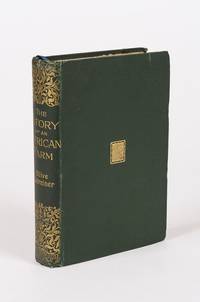
1896120209AB1896. London Hutchinson & Co 1896. 13.5 cm x 19.5 cm. Frontispiece XV 346 pages. Hardcover publisher's original cloth with gilt lettering and decoration on spine. Small embossment to front board. Deckled top edge. Very good condition with only minor signs of external wear. Minor bumps to board corners. Small cutout of old name on halftitle. Interior lightly tanned throughout but bright and clean. Binding is strong firm and square. Includes for example the following: Shadows from Child Life / Plans and Bushman-Paintings / Sunday Services / Bonaparte Blenkins Makes his Nest / Waldo's Stranger / Gregory Rose Finds his Affinity / A Boer-Wedding / Dreams etc. Olive Schreiner 24 March 1855 11 December 1920 was a South African author anti-war campaigner and intellectual. She is best remembered today for her novel The Story of an African Farm 1883 which has been highly acclaimed as one of the first feminist novels. It tells the story of a girl on an isolated farm on the veld who struggles for her independence in the face of rigid Boer social conventions. in doing so it deals boldly with such contemporary issues as agnosticism existential independence individualism the professional aspirations of women and the elemental nature of life on the colonial frontier. Since the late 20th century scholars have also credited Schreiner as an advocate for the Afrikaners and other South African groups who were excluded from political power for decades such as indigenous Blacks Jews and Indians. Although she showed interest in socialism pacifism vegetarianism and feminism amongst other topics her views escaped restrictive categorisations. Her published works and other surviving writings promote implicit values such as moderation friendship and understanding amongst all peoples and avoid the pitfalls of political radicalism which she consciously eschewed. Called a lifelong freethinker she also continued to adhere to the spirit of the Christian Bible and developed a secular version of the worldview of her missionary parents with mystical elements. Wikipedia hardcover
1700398AG1700. Paris c. 1700. Original copper engraved map. 16 cm wide x 13.2 cm high. Mounted on paper. Very good condition. From a wonderful collection of Maps from an old english library South Shields - with a tiny library stamp to the mounting paper The stamp is NOT on the Map. Nicolas de Fer 164625 October 1720 was a French cartographer and geographer. De Fer was the youngest of three sons of Antoine de Fer who was also a cartographer. When he was 12 he became the apprentice of Parisian engraver Louis Spirinx and made his first map of the Canal du Midi at the age of 23. After the death of his father in June 1673 his mother Geneviève initially took over the map making company which had begun to decline. She passed it and the atelier called Quai de L'Horloge on to Nicolas in 1687 because of her old age. De Fer was so successful at improving the firm that in 1690 he became the official geographer to Louis Dauphin of France. With support from the Spanish and French Royal Families de Fer also became official geographer for Philip V and Louis XIV the kings of Spain and France respectively. Because of this his maps became Bourbon propaganda endorsing French King Louis XIV. His business flourished producing town plans atlases wall maps and more than 600 sheet maps. He made maps of places in Europe and North America including New Spain places fortified by Vauban the Low Countries and the War of the Spanish Succession. In 1698 de Fer published a map of North America which included a depiction of beavers building dams near Niagara Falls. Seventeen years later Herman Moll published a map which plagiarized elements of de Fer's work particularly the beaver scene. It became known as the "Beaver map". De Fer became the official geographer for His Catholic Majesty in 1720. Two of his sons-in-law Guillaume Danet and Jaques-François Bénard continued the company after de Fer's death on 25 October of that year until around 1760. Wikipedia unknown
20192-0464121833Blurb 2019. Hardcover. New. 454 pages. Spanish language. 8.23x5.24x1.34 inches. Blurb hardcover
1994SONG1558062130Brand: Iron Crown Enterprises 1994-10-28. paperback. Used: Good. 11.02x8.54x0.39. Buy with confidence. Excellent Customer Service & Return policy. Brand: Iron Crown Enterprises paperback
62442810Taylor & Francis Group pp. 416 . Hardback. New. Taylor & Francis Group hardcover
French text. Paris, 2005; hardback, pp. 717, b/w and col. ill., cm 25x29.
2021x-3030707601Springer Nature 2021. Hardcover. New. 347 pages. 9.25x6.10x0.87 inches. Springer Nature hardcover