Mallet, Alain ManessonBiblio.com
56 résultats
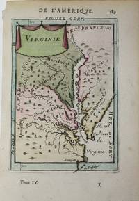
1684M1060Paris: Thierry Denys c. 1684. Very Good. Size : 152x104 mm 6x4.125 Inches Coloring: Hand Colored Reference: Maryland State Archives Category: Maps United States East States; Thierry, Denys unknown
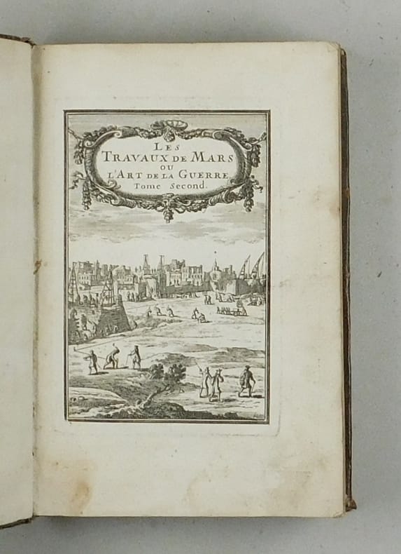
168457949ABBand 2 (von 3). Paris, Chez Denys Thierry. 1684. Klein-4°. Gestochener Titel, 6 n.n.Bll., 341 S. mit 120 Abbildungen, 3 n.n.S.table. Lederband der Zeit mit goldgeprägtem Rückentitel, reicher floraler Rückenvergoldung
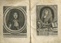
168429632AB1684. 1. Band von 5. Franckfurt Johann David Zunner 1684. 1 gestochener Titel 2 gestochene Portraits 110 von 113 Kupfertafeln 4 Bl. 138 S. 5 Bl. Register. Pappband der Zeit Kanten stärker bestoßen oberes Kapital fixiert. 1. deutschspr. Ausgabe. - VD17 39:129238W; vgl. Sabin 44130; Poggendorff II 26; Graesse IV 353 f; Houzeau & L. I 8800 frz. EA von 1683. - Der Kartograph und Ingenieur Mallet 1630-1706 beschreibt in 5 Teilen die "Sitten Religionen und Regierungsarten" Mallet verschiedener Nationen aller Kontinente. Dieser erste Teil ist von besonderer wissenschaftsgeschichtlicher Relevanz denn er fasst einleitend das astronomische und meteorologische Wissen der Zeit zusammen. Es folgt die Beschreibung der unterhalb des Nordpols gelegenen Länder. Die zahlreichen Kupfertafeln zeigen vornehmlich Motive aus der Astronomie sowie Landkarten aber auch Darstellungen aus der beschriebenen Region. - Mit beiden Portraits Ludwig XIV und Mallet die laut VD17 öfter fehlen. Nicht enthalten sind die Tafeln Nr. 15 80 u. 81. Vorsatz mit Besitzvermerken von alter Hand Titelblatt verso und S. 100 gestempelt. Durchgehend etwas stockfleckig. S. 135 mit größerer Fehlstelle. unknown
161714760Paris Imprimerie de Pierre Le-Mur (pour Samuel Thiboust) 1617 Fort volume in-4 veau marbré de l'époque, dos à nerfs orné de fers dorés, dauphin couronné doré en queue, double filet doré encadrant les plats, armes au centre. (14) pp-868 pp. et (20) pp. (Page de titre rogné court dans la partie inférieure, avec perte de quelques lettres au bas, mors supérieur et coiffes restaurés).
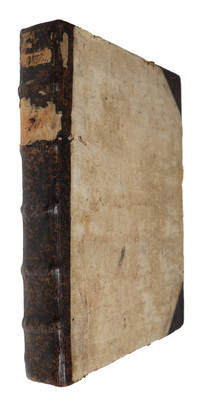
168561394Franckfurt am Mayn, Zunner, 1685. 4to. In contemporary half calf. Traces from old paper-label to spine. Binding with considerable wear. Back board broken but still attached. Inner hinges split. Frontispiece partly detached. Previous owner's name in contemporary hand to spine. With a few occassional brownspots and tears in margin, but internally generally nice and clean. (8), 210, (14) pp. + 128 engraved plates and 1 frontispiece. (plates are numbered consecutively from 1 - 130. Plate no. 90 and 92 are missing, but collation corresponds to the digitalized copy in Regensburg, Staatliche Bibliothek, OCLC Accession No: 930342403 and the Otto Leopold Schmidt-copy, sold at Bonham in 2020).
168561394Franckfurt am Mayn Zunner 1685. 4to. In contemporary half calf. Traces from old paper-label to spine. Binding with considerable wear. Back board broken but still attached. Inner hinges split. Frontispiece partly detached. Previous owner's name in contemporary hand to spine. With a few occassional brownspots and tears in margin but internally generally nice and clean. 8 210 14 pp. 128 engraved plates and 1 frontispiece. plates are numbered consecutively from 1 - 130. Plate no. 90 and 92 are missing but collation corresponds to the digitalized copy in Regensburg Staatliche Bibliothek OCLC Accession No: 930342403 and the Otto Leopold Schmidt-copy sold at Bonham in 2020. <br/><br/><em>First German translation vol. 4 only of Mallet’s lavishly illustrated ambitious guide to Europe offering geographical and cultural knowledge to a broader audience in part because of the numerous and detailed engravings. Mallet's maps and illustrations are not only geographically informative but also a fine example of the baroque style of the period. It has been suggested that his background as a teacher led to him being concerned with entertaining his readers. This concern manifested itself in these charming illustrations which include maps cityscapes and depictions of various cultural practices and costumes. The first edition appeared in Paris in 1683 as "Description de l'univers" and soon after the hundreds of copper plates for the illustrations were transferred to Jan David Zunner in Frankfurt who published the first edition of the German translation in 1684 with German text engraved in the plates. He then published the second French edition in 1685 with the German text still in the plates. Alain Manesson Mallet 1630–1706 was a French cartographer and engineer primarily known for his significant contributions to cartography particularly through the present work. He began his career as a soldier in the army of Louis XIV eventually rising to the rank of Sergeant-Major in the artillery and serving as an Inspector of Fortifications. Mallet also served under the King of Portugal before returning to France where he was appointed to the court of Louis XIV. His expertise in military engineering and mathematics earned him a position teaching mathematics at the royal court. For the original in French see: Brunet III 1343 and Sabin 44130 and Graesse IV 354. </em> unknown