2 783 résultats
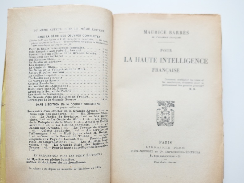
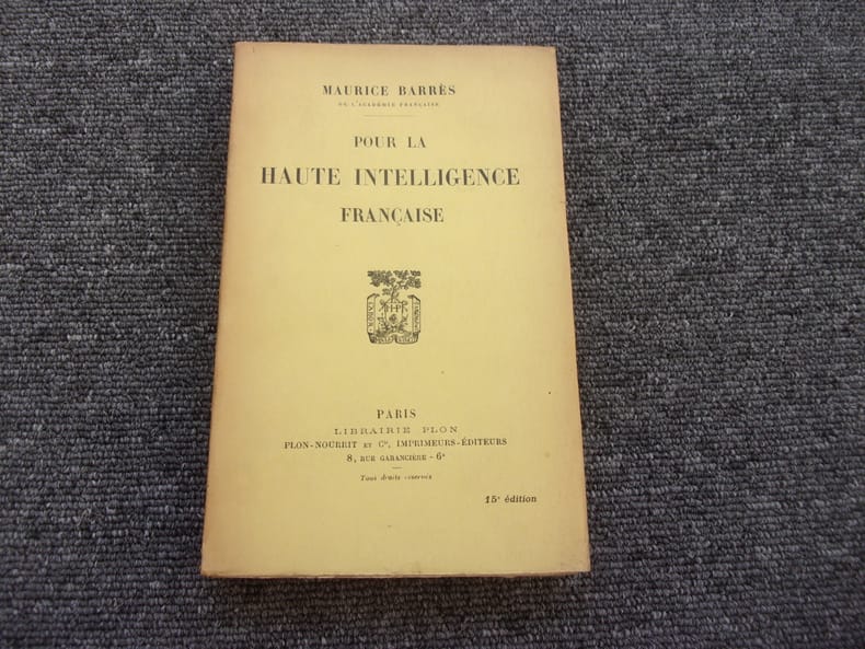
192510001925 Paris, Plon, 1925, in 12 br., ex. non coupé à l'état de neuf.
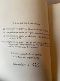
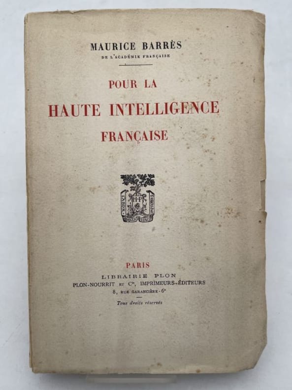
1925188550Plon Paris, Plon, 1925. In-12 broché, non rogné de 282 pages. Edition originale sur papier d'Alfa. Petites rousseurs en couverture sinon bon état
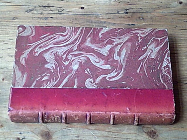
192521202Plon 1925 XXVI-282 pages in-12. 1925. Demi-Basane rouge titrée au dos en lettres dorées. XXVI-282 pages.
192586828Paris, 1925, in-8, 282pp, Reliure demi-chagrin a coins, Très bel exemplaire de l'édition originale numérotée sur Pur Fil Lafuma Voiron. Dos et couvertures conservés! 282pp
19254971Paris, Plon, 1925, in-8, broché, 282 pages. Bon état.
1925R260182097PLON - MAME. 1925. In-12. Broché. Etat d'usage, Couv. défraîchie, Dos satisfaisant, Intérieur frais. 282 pages. . . . Classification Dewey : 840.08-XIX ème siècle
1925H1022Paris, Plon, 1925 ; in-8, 282 pp., reliure demi-cuir brun à coins, dos orné à cinq nerfs (couverture conservée). Maurice Barrès est né en 1862 à Charmes (Vosges) et mort le 4 décembre 1923 à Neuilly-sur-Seine (Seine), est un écrivain et homme politique français, figure de proue du nationalisme français. Le premier axe de sa pensée est « le culte du Moi ». Il affirme que notre premier devoir est de défendre notre moi contre les « Barbares », c'est-à-dire contre tout ce qui risque de l'affaiblir dans l'épanouissement de sa propre sensibilité. Le second axe est résumé par l'expression « la terre et les morts » qui témoignent de l'évolution de Maurice Barrès vers le nationalisme républicain et le traditionalisme, l'attachement aux racines, à la famille, à l'armée et à la terre natale. Il est resté l'un des maîtres à penser de la droite nationaliste durant l'entre-deux-guerres. Exemplaire numéroté, sur papier grandes marges non massicotées, pur fil des Papeteries Lafuma. La reliure a été exécutée par les Ateliers Farairre, de Casablanca. Très bon état.
21127format moyen, couverture souple.282 pages. Exemplaire jauni. Une expédition par Mondial Relay vous sera proposée 1925 plon
86828Couverture rigide. Bon/1925. in-8. Paris 1925 in-8 282pp Reliure demi-chagrin a coins Très bel exemplaire de l'édition originale numérotée sur Pur Fil Lafuma Voiron. Dos et couvertures conservés! unknown
1930015123Paris Mercure de France 1930 in-12° Broché Signé par l'auteur
5250Paris, éd. Plon, 1935, – in-12, 248 pp. – broché, mention de 2° édition
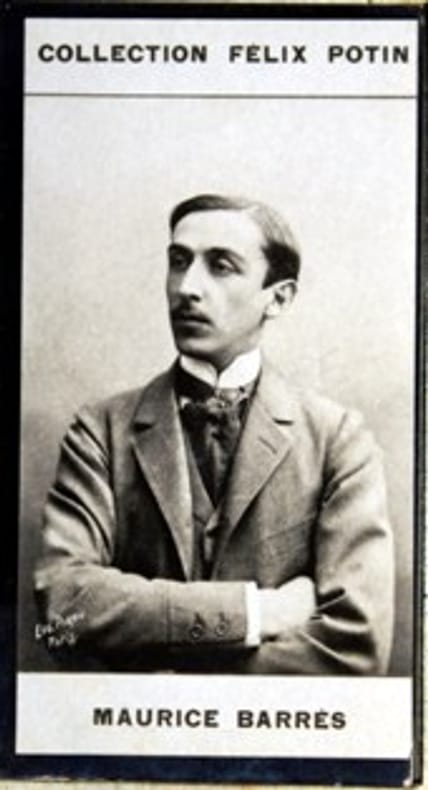
GF18829Photographie 7,5x4 cm - collée sur carton - vers 1900 -
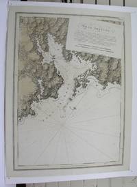
M3913London 1775. Very good. Notes: Aquatint and line engraving. This fine chart is from "The Atlantic Neptune" by Capt. Joseph Fredrick Wallet Des Barres 1721-1824. "The Atlantic Neptune" is one of the most important sea atlases of the USA and Canadian Atlantic coast that was ever been produced. The atlas was first published in England in 1774 and was updated regularly till 1784. The maps are known for the accurate portrayal of various sounds bays bars and harbours in addition to navigational challenges. The maps are very detailed and contain both hydrographical and topographical information. Des Barres a Swiss cartographer and landscape artist who immigrated to England and trained at the royal military academy became a colonial administrator in Halifax Nova Scotia where he died. He was a lieutenant in rhw royal American regiment c 1756; engineer under general wolf at Quebec c.1759; and governor of Prince Edward Island. He mapped the shore line of Nova Scotia Newfoundland and St. Lawrence River regions c.1764/1774 . This atlas was used by the Royal Navy during the American Revolution. <br>Reference Debard J. M. the family origins of J.f.W.Des Barres; Evens uncommon Obdurate: the several public careers of J.F.W. Des Barres Toronto 1989; De Vorsey map collector 1982 p.31 Size : 540x748 mm 21.25x29.375 Inches Coloring: Original Hand Coloring Category: Maps Canada East Nova Scotia unknown
1776227653London 1776. First. unbound. very good. Sea chart. Engraving. Image measures 27.25" x 40.25".<br/><br/> Beautiful rare nautical chart of Port Campbell SE Nova Scotia. This is the first state and shows settlements and shoals in outline only. Includes the yet named Shelburne Harbour and Roseneath Island now McNutt Island. Includes description of the shoreline and tides. Map is dated 1776 just before the Loyalists came and settled the area. Published in "The Atlantic Neptune" the first British sea atlas of the eastern coast of North America hailed for both its accuracy and its aesthetics. J.F.W. Des Barres c. 1729-1827 was born in Basle Switzerland but went to military school in England. He became a colonial administrator in Nova Scotia and also served as governor of Quebec. Des Barres was commissioned for the surveying project in 1762 and dedicated ten years to the gathering of the charts and publication of the atlas. Small chips and tears to margin not affecting the image slight wear to original folds overall toning.<br/><br/> unknown books
1776227653London 1776. First. unbound. very good. Sea chart. Engraving. Image measures 27.25" x 40.25".<br/> <br/> Beautiful rare nautical chart of Port Campbell SE Nova Scotia. This is the first state and shows settlements and shoals in outline only. Includes the yet named Shelburne Harbour and Roseneath Island now McNutt Island. Includes description of the shoreline and tides. Map is dated 1776 just before the Loyalists came and settled the area. Published in "The Atlantic Neptune" the first British sea atlas of the eastern coast of North America hailed for both its accuracy and its aesthetics. Small chips and tears to margin not affecting the image slight wear to original folds overall toning. J.F.W. Des Barres c. 1729-1827 was born in Basle Switzerland but went to military school in England. He became a colonial administrator in Nova Scotia and also served as governor of Quebec. Des Barres was commissioned for the surveying project in 1762 and dedicated ten years to the gathering of the charts and publication of the atlas.<br/> <br/> unknown
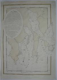
1775M6223London 1775. Very Good. Notes: Aquatint and line engraving. This fine chart is from "The Atlantic Neptune" by Capt. Joseph Fredrick Wallet Des Barres 1721-1824. "The Atlantic Neptune" is one of the most important sea atlases of the USA and Canadian Atlantic coast that was ever been produced. The atlas was first published in England in 1774 and was updated regularly till 1784. The maps are known for the accurate portrayal of various sounds bays bars and harbours in addition to navigational challenges. The maps are very detailed and contain both hydrographical and topographical information. Des Barres a Swiss cartographer and landscape artist who immigrated to England and trained at the royal military academy became a colonial administrator in Halifax Nova Scotia where he died. He was a lieutenant in rhw royal American regiment c 1756; engineer under general wolf at Quebec c.1759; and governor of Prince Edward Island. He mapped the shore line of Nova Scotia Newfoundland and St. Lawrence River regions c.1764/1774 . This atlas was used by the Royal Navy during the American Revolution. <br>Reference Debard J. M. the family origins of J.f.W.Des Barres; Evens uncommon Obdurate: the several public careers of J.F.W. Des Barres Toronto 1989; De Vorsey map collector 1982 p.31 Size : 700x485 mm 27.5x19.125 Inches Coloring: Original Hand Coloring Category: ; Maps Canada East Nova Scotia unknown
in-12, 294 pages, broche, couv. Bel exemplaire. [DV-1] Bossuet - Joubert - Dereme - Bourget - Barres - Noailles
12040Louvain, Editions Rex/Paris, Giraudon, 1929 13 x 19, 294 pp., broché, bon état (cachet du Collège jésuite Saint Stanislas à Mons)
190050025- Photographie 4 x 7, 5 cm. Notice biographique collée au dos.
190052616- Photographie 4 x 7, 5 cm. Notice biographique collée au dos.
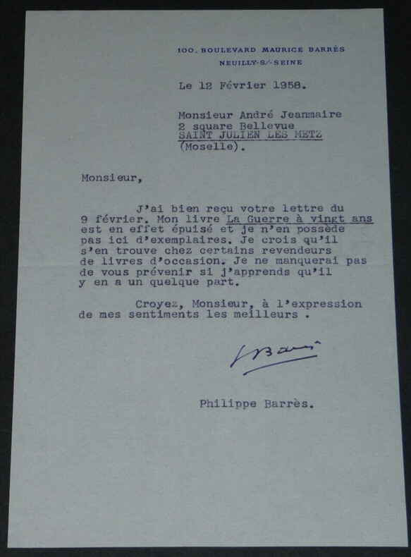
1958boz_004007Philippe BARRES - LETTRE TAPUSCRITE SIGNÉE "La guerre à vingt ans" épuisé, 1958 Dimensions : 22 x 13,5 cm Nombre de pages : 1 page
155380Paris. Etat satisfaisant. in-8. Edition originale Non coupé unknown
216988Lons-Le-Saunier, L'Auteur, (1957) in-8, 71 pp., planches, 2 croquis dépliants, broché.
105940sd Tirage mécanoographique de Henri Barrès - Sans date - Petit In-8, broché - 96 p. - Quelques cartes en N&B
1957139841957 br. in-12, roneotypé, 70ff. (verso blancs), 16 illustrations h.t., 2 plans dépliants, Perrecy 1957