105 résultats
178632355Lincoln County Kentucky 1786. Single sheet 8.75" x 10". Completely in manuscript approximately 20 lines signed and sealed on January 19 1786 by Sampson Mathews George Winter Benjamin Logan John Campbell and Christopher Greenup. Paper seal attached with wax near Mathews' signature. Old folds two short fold splits with a few letters affected but not lost minor toning and wear at folds. Good.<br/><br/> Sampson Mathews 1737-1807 served as commissary of Col. Charles Lewis' regiment in the Point Pleasant campaign as Colonel of the Augusta Militia in 1781 where he led the American defense against Benedict Arnold's January 1781 raid of Richmond and fought at the Siege of Yorktown. He served in the first Virginia State Senate 1776-1781 and 1790-1792 and was a founder of what became Washington and Lee University. Waddell: ANNALS OF AUGUSTA COUNTY VIRGINIA 1902 pp.185 220 310. <br/> Benjamin Logan 1743-1802 was an American Revolutionary War officer and brother of John Logan 1747-1807 a Kentucky pioneer and politician. Both Benjamin and John were Justices of the County Court of Lincoln County which was organized in 1781; this was the first court in what would become the State of Kentucky. Benjamin Logan Colonel of the Kentucky County Virginia militia was second in command of all Kentucky militia during the Revolutionary War. He also led in the effort to achieve Kentucky statehood. Kleber: THE KENTUCKY ENCYCLOPEDIA 1992 p.388.<br/> Christopher Greenup 1750-1818 was an officer during the Revolutionary War and <br/>Governor of Kentucky from 1804-1808. He helped settle Lincoln County where he studied law and worked as a surveyor and land speculator. He served on a committee with Benjamin Logan which sought to achieve statehood for Kentucky. Active in three state conventions from 1784-1788 he was also accused in complicity in the Burr conspiracy while serving as Governor. Kleber p.388.<br/> Samuel McDowell 1735-1817 served under General Washington during the French and Indian War; in the American Revolution under the command of Nathanael Greene. He presided over the 1782 convention that framed a constitution for the independent territory of Kentucky presided over the first district court in Kentucky and its first county court. McDowell and presided over nine of the ten conventions that drafted the first Kentucky Constitution. <br/> Caleb Wallace 1742-1814 was born in Virginia and moved to the Kentucky district in 1783. He was a cousin of Samuel McDowell was a pioneer jurist in the Supreme Court for the District of Kentucky was active in the movement for Kentucky Statehood played a role in the struggle for religious freedom in Virginia and was a founder of what became Washington and Lee University. Kleber p.925.<br/> John Campbell is likely Col. John Campbell 1735-1799 the Revolutionary War soldier and namesake of Campbell County Kentucky. He was one of the drafters of the Kentucky Constitution the Speaker Pro-Tem of the Kentucky Senate in 1798 where he signed the Kentucky Resolutions and a founder of Louisville having staked his claim to a military grant of land on that site in 1774. Kleber p.154. unknown books
1723209708Amsterdam: Mortier Pieter 1723. unbound. very good. Map. Engraving with hand outline. Image measures 14" x 18.75".<br/><br/> Beautifully detailed map showing the area between the the Black and Caspian Seas including modern day Russia Georgia Azerbaijan Armenia and Turkey. Full original margins have minor stains. Based on the plates by Nicolas Sanson 1600-1667 who is considered the founder of the French school of cartography. In reaction to the prevailing trend of Dutch lavishness Sanson favored minimal details focusing rather on accurate cartography than ornament.<br/><br/> Mortier, Pieter unknown books
1723209708Amsterdam: Mortier Pieter 1723. unbound. very good. Map. Engraving with hand outline. Image measures 14" x 18.75".<br/> <br/> Beautifully detailed map showing the area between the the Black and Caspian Seas including modern day Russia Georgia Azerbaijan Armenia and Turkey. Full original margins have minor stains. Based on the plates by Nicolas Sanson 1600-1667 who is considered the founder of the French school of cartography. In reaction to the prevailing trend of Dutch lavishness Sanson favored minimal details focusing rather on accurate cartography than ornament.<br/> <br/> Mortier, Pieter unknown
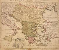
1705311838Amsterdam: Petrus Schenk 1705. unbound. Map. Engraving with original hand outline. Image measures 18 7/8" x 22 3/4"<br/> <br/> Beautiful map of southeastern Europe extending from Italy to Turkey and from Hungary to Cyprus. Published circa 1705 this map depicts the region during the Ottoman-Habsburg wars. In fair condition. Wear to original centerfold with tape repair and stain at bottom edge. Lower margin worn and frayed not affecting the image. Minor cracking and small loss near center due to oxidization of original viridian green coloring. Some foxing. Publisher's crease to upper right corner. Sold as-is.<br> <br> Petrus Schenk c.1660--1711 was a German engraver and cartographer. He began his training in Amsterdam in the art of mezzotint and soon began working closely with Gerard Valck. The two took advantage of the bustling cartographic trade in the city and quickly expanded their business from portraits and prints into maps and globes. In 1700 Schenk grew the business further by moving to Leipzig Germany and opening a shop. As his sons and grandson returned to the Netherlands to become active engravers as well the Schenk firm developed into one of the best-known publishing houses in 18th-century Amsterdam. This map attests to Schenk's prolific production and skill in both cartographic artistry and business.<br/> <br/> Petrus Schenk unknown
1778M4133Paris: Fortin 1778. Very Good. Notes: Map showing Bohemia Silesia Moravia and Lusatia. Size : 420x545 mm 16.5x21.5 Inches Coloring: Hand Colored Category: Maps Europe Poland Lithuania Fortin unknown
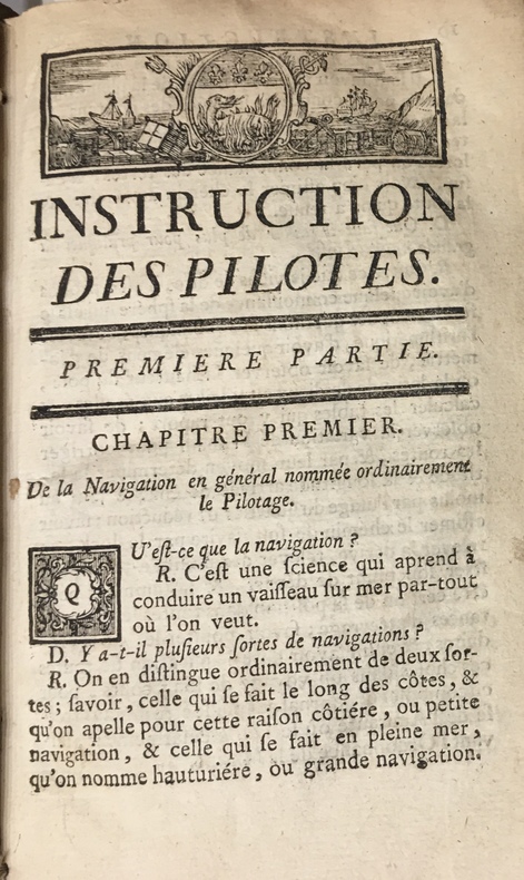
17734723Au Havre de Grâce, P.J.D.G. Faure, 1773. 1773 2 parties en un fort vol. in-12° (175 x 107 mm) de : 179 pp. (dont titre première partie, table pour trouver lheure des pleines mers, usage de la table et avertissement) ; [3] pp. (table des matières) ; [1] f. bl. ; [2] ff. (titre deuxième partie et avertissement) ; 190 pp. ; [7] ff. (table des latitudes, table des matières) ; 20 figures géométriques gravées sur bois, jolis bandeaux et culs de lampes. Vélin souple d'époque, dos lisse, tache sur le premier plat, rosace sur le second plat.
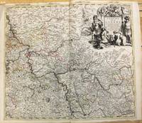
1708M10193Amsterdam: Pierre Mortier c.1708. Very Good. Notes: "Theatre de la Guerre" Theater of War maps covering the battles raging in Europe and the Americas during the Spanish War of Succession 1701-1713 and the Northern War 1700-1721. The atlas maps are large folio size with most maps made of two sheets and many maps combining 4 or 6 sheets those also issued as wall maps separately. The atlas is most impressive for its large size and number of maps as well as being up to date for its time. <br><br> Size : 517x585 mm 20.35x23.03 Inches Coloring: Original Outline Coloring Category: Maps Europe Germany; Pierre Mortier unknown
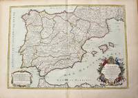
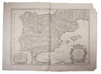
1710M10278Paris: H. Jaillot c.1710. Very Good. Size : 465x655 mm 18.31x25.79 Inches Coloring: Original Hand Coloring Category: Maps Europe Portugal; Maps Europe Spain; H. Jaillot unknown
1719E7CG2ENMSWHRParis: Hubert Jaillot 1719. Engraved map on 2 assembled sheets 54.5 x 88 cm. With title in decorated cartouche signed F.C. in upper right corner and scalebars in decorated cartouche in the lower left corner. Coloured in outline. Large map of the Pyrenees a mountain range on the border between France and Spain after Nicolas Sanson 1600-1675. Apparently printed from the original plates differing from the map issued in Mortier's "Jaillot-Atlas".Very good copy slightly browned.l Pastoureau Jail. II C map 166. Hubert Jaillot, unknown
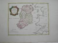
1778M3768Paris 1778. Excellent. Size : 405x501 mm 15.875x19.75 Inches Coloring: Hand Colored Category: ; Maps Europe Ireland unknown
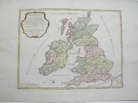
1754M3766Paris 1754. Excellent. Size : 410x540 mm 16.125x21.25 Inches Coloring: Hand Colored Category: ; Maps Europe Ireland;; Maps Europe United Kingdom unknown
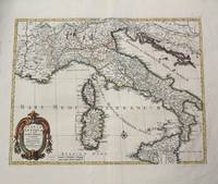
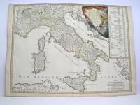
1702M10242Amsterdam: Jean Covens & Corneille Mortier c.1702. Very Good. Size : 420x528 mm 16.54x20.79 Inches Coloring: Hand Colored Category: Maps Europe Italy; Maps Mediterranean Islands; Jean Covens & Corneille Mortier unknown
1760M7988Paris: Sr. Delamarche c.1760. Very Good. Notes: Engraved by Delahaye. Large scale attractive map of France. Size : 493x668 mm 19.41x26.30 Inches Coloring: Original Hand Coloring Category: Maps Europe France; Sr. Delamarche unknown
1778M3888Paris: Delamarche 1778. Very Good. Size : 515x685 mm 20.25x27 Inches Coloring: Original Outline Coloring Category: ; Maps Europe Italy Delamarche unknown
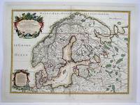
1708M4264Paris 1708. Very Good central fold reinforced mounted on acid free canvas. Size : 474x655 mm 18.625x25.75 Inches Coloring: Hand Colored in Outline Category: ; Maps Europe Scandinavia unknown
1708E7GCJJB1RUYXParis 1708. Hubert Jaillot Engraved map on 2 assembled sheets 55.5 x 78 cm engraved by Cordier. With title in decorated cartouche on the bottom right corner scales and privilege in decorated cartouche on the bottom left corner and a few lines coloured in green. Large map of Spain and Portugal this state with a privilege for 20 years granted in 1708. Engraved by Cordier after the map by Nicolas Sanson.Strengthened fold damaged corners but map in very good condition.l Cf. Pastoureau Jail. II A map 91. unknown
17488125Veuve Gruchet, Pierre Faure Au Havre de Grace 1748 1 vol. 2 parties en un volume in-8 de 4 ff.n.ch. 174 pp. 4 ff.n.ch. (table) et 4 ff.n.ch. (dont 1 feuillet blanc) 182 pp. 2 ff.n.ch. (table), vélin souple de l'époque (petits manque sur les coupes).
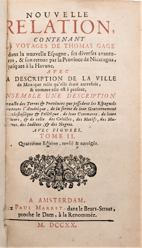
1720P2-7B-8Amsterdam, Paul Marret, 1720. 2 volumes in-12,, (13) ff , 431 pp , (5) ff , 360 pp. , relié plein veau époque , dos à nerfs ornés avec pièces de titre et tomaison rouge. Tranches rouges, charnière fendue tome1,léger manque à la coiffe du tome 2 , ex-libris de A. t’Sterstevens , écrivain belge avec ses notes. Quatrième édition, revue et corrigée, de la traduction de M. de Beaulieu.
177130804London: Printed by W. Strahan and M. Woodfall for William Owen 1771. 1st Edition in English Marvin p. 299. Period full brown calf binding with gilt lettered maroon leather title label to spine. Binding leather darkened. Vertical creases to the 2 preliminary blanks. Old pos to t.p. one lined out dated 1780 & 1801. The occasional period marginal note. A solid VG copy. xxii 14 vii 1 480 pp. 4to: A4 a - c4 d2 B - 3Q4. <br/><br/> Printed by W. Strahan and M. Woodfall, for William Owen hardcover books
1780M5122Paris 1780. Excellent. Size : 430x565 mm 16.875x22.25 Inches Coloring: Original Outline Coloring Category: ; Maps Asia Middle East Holy Land & Palestine unknown
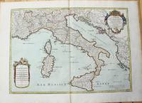
1783M10279Paris: H. Jaillot c.1783. Very Good. Size : 469x655 mm 18.46x25.79 Inches Coloring: Original Hand Coloring Category: Maps Europe Italy; Maps Mediterranean Islands; H. Jaillot unknown
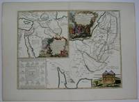
1780M5125Paris 1780. Excellent. Size : 490x690 mm 19.25x27.125 Inches Coloring: Hand Colored in Outline Category: ; Maps Asia Middle East Holy Land & Palestine unknown
1720LBW-464Amsterdam, J. Covens et C. Mortier, [circa 1720]. 400 x 501 mm.
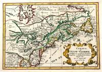
1705M11241Amsterdam c.1705. Very Good. Notes: A reduced version of the most influential 17th century maps of the French and English colonies in North America. The map not only shows details of the Great Lakes but also it is a great source for Indian tribal names and locations. Two names Aouentsiouaeron and Attiouandarons appear here for the first time. Lake Superior and Michigan Lac du Puans are left open-end to the west. It is engraved by Anthony d'Winter. Size : 207x300 mm 8.15x11.81 Inches Coloring: Hand Colored Reference: Burden #575; Kershaw #138. Category: Maps Canada East; Maps North America Great Lakes; unknown
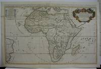
1719M5162Paris 1719. Excellent. Size : 580x890 mm 22.875x35 Inches Coloring: Original Outline Coloring Category: ; Maps Africa Continent unknown