272 résultats
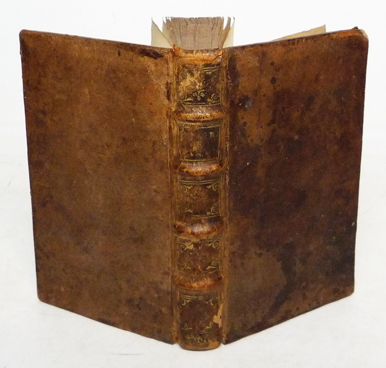
169998233Paris chez l'auteur 1699-1690 1 vol. relié 2 parties reliées en un vol. in-18, basane havane écailles de tortue, dos à nerfs, pièces de titre de basane bordeaux, caissons ornés de fleurons et dentelles dorées, tranches rouges, (22) + 144 et 178 + (12) + 48 pp. (cat. éd.), 4 cartes dépliantes sur les 6 (reliure de l'époque usée mais solide). Nicolas Sanson (1600-1667) né à Abbeville est cartographe célèbre du XVIIe siècle. Sa première carte importante est "Les Postes de France", en 1632.
1690167791690 basane brune, dos à n. 2 tomes en un vol. in-12, (12ff.), 144pp. et titre, 178pp., (7ff.), 48pp., (catalogue des libraires), 4 planches dépliantes (la quatrième est incomplete de sa plus grande partie…) A Paris chez l'auteur, aux galleries du Louvres, vis-à-vis l'Eglise de St. Nicolas. 1690
1682za2213A Paris, chez l'Auteur, aux Galleries du Louvre, vis à vis l'Eglise de St Nicolas Relié 1682 "In-12 (9,8 x 16 cm), reliure plein veau, dos à 4 nerfs orné de caissons dorés, liseré doré sur les coupes, tranches mouchetées, titre comple : ""Introduction à la géographie, première partie. Où sont 1. Indiquées les Sciences dont la Géographie emprunte plusieurs Principes. 2. La Description des differentes Manieres dont cette Science est Représentée. 3. L'Explication des Termes de toutes les Parties de la Geographie. 4. Une Instruction de toutes les Parties de la Geographie. 4. Une Instruction de l'Usage des Cartes."", pagination comme suit : page de titre, préface (6 pp. non numérotées), avis au lecteur (2 pp. non numérotées), table des chapitres (9 pp. non numérotées, fautes à corriger, extrait du Privilege du Roy, 292 pp., table alphabetique (13 pp. non numérotées), avertissement (5 pp. non numérotées). Le plan de cet ouvrage de 320 pages est composé de trois parties. Dans la première, l'auteur place la géographie dans la cosmoraphie, puis il distingue entre globes et cartes, avant de décrire, comme l'avait fait Lubin, le vocabulaire de la géographie. Guillaume Sanson conclut cette partie par un chapitre sur l'usage des cartes. La deuxième partie s'intéresse aux relations entre l'astronomie et la géographie, décrivant le globe soit par par zones, soit par la grille des latitudes et longitudes. Enfin, la troisième partie, dite de géographie naturelle, rassemble pêle-mêle la liste des découpages du globe, selon les grilles évoquées dans la deuxième partie, puis en fonction des continents et des mers, voire selon d'autres critères comme les géographies historique, politique et sacrée, ou linguistique. La description de l'ensemble des Etats du monde y occupe 20 pages (et semble avoir été inspirée par l'Atlas du monde publié par Nicolas Sanson en 1665). Il s'agit donc d'abord d'une géographie assez théorique qui viserait à faire connaître le vocabulaire ainsi que les catégories de la géographie. Pourquoi cette introduction n'offre-t-elle pas plus de description de la géographie du monde ? Parce que la géographie --comme Guillaume Sanson l'écrit dans la préface-- ""est présentement à la Portée de tout le Monde, puisqu'avec cette méthode il ne faut que des yeux et des cartes"" (Sanson 1682). Deux hypothèses en découlent. La première fait de ce livre avant tout un prospectus pour les cartes des Sanson. La seconde y voit une tentative, par la famille Sanson, de captation de la géographie par la cartographie. De plus, on trouve dans l'édition de 1682 un avertissement passionnant de la main de Sanson, situé après la table alphabétique des matières. Il y critique la ""Méthode pour apprendre facilement la géographie"" de Jacques Robbe (1678), ainsi que la ""Description de Univers contenant les différents systèmes du monde"" à paraître (1683) de Manesson-Mallet, le traitant sans retenue de plagiaire. Plus loin, ayant mis en garde des acheteurs de cartes que les copistes étaient foison, Sanson note qu'il fait encore partie des vivants : ""Quelques uns nous effacent hardiment du nombre des Vivans, d'autres ont voulu persuader que nous estions retournez en Province, & qu'il y en avoit qui avoient eu assez d'effronterie pour prendre notre Nom ; de sorte que nous avons fait mettre à la Teste de cette Introduction Que nous demeurons aux Galleries du Louvre, pour desabuser le Public, & faciliter par là de Dessein de ceux qui voudront nous faire l'honneur de venir chez nous pour s'éclaircir de quelques difficultez, ou pour prendre avis touchant nos Ouvrages qu'ils voudront avoir."" ; quelques épidermures au dos, coiffe supérieure et coins du premier plat un peu usés, par ailleurs intérieur frais, bon état général. Livraison a domicile (La Poste) ou en Mondial Relay sur simple demande."
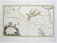
1680264415Paris 1680. unbound. Map. Uncolored copper plate engraving. Image measures 7.5" x 10". 1680.<br/><br/> This map of southeast Asia and the East Indies is essentially two maps on a single sheet. The map on the left depicts the northern portion of the India Ganges region representing Burma Myanmar Thailand Cambodia Vietnam and Laos while the map of the right depicts the southern portion and includes the Malay Peninsula Singapore Sumatra. The most interesting feature is the Lacus Chimay Chimay Lake the mythical lake located in northern Burma which was believed to be the source of the river system in Southeast Asia. Important towns and cities are identified with beautifully rendered topography depicted in profile. Map is in very good condition with some toning along original centerfold which shows repairs on verso. Minimal foxing. <br><br>Nicolas Sanson 1600-1667 is considered the founder of the French school of cartography. In reaction to the prevailing trend of Dutch lavishness Sanson favored minimal details focusing rather on accurate cartography than ornament. This map is a fine example of his work.<br/><br/> unknown books
1647WB16371Lutetiae Parisiorum: Sumptibus & Impensis Autoris 1647. Hardcover. Good. 16mo. Old leather; quite worn. pp 16 246 2. Liber primus only. <br/><br/> Sumptibus & Impensis Autoris hardcover books
1647WB16371Lutetiae Parisiorum: Sumptibus & Impensis Autoris 1647. Hardcover. Good. 16mo. Old leather; quite worn. pp 16 246 2. Liber primus only. <br/><br/> Sumptibus & Impensis Autoris hardcover
167638217Paris: Sanson 1676. AN ATTRACTIVE MAP OF SPAIN AND PORTUGAL. 18 x 25 cm plate 23.5 x 32 cm sheet. FULLY COLORED by a later hand. Printed on fine laid paper. Reverse blank. A fine impression. A PRISTINE EXAMPLE with the paper FINE AND BRIGHT. Very scarce in such fine condition. <br/><br/> Sanson unknown
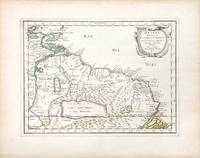
170054043Nicolas Bion: L'Usage des Globes. Amsterdam: Francois Halma. 1700. Map showing north-east South America from Trindad to the mouth of the Amazon - modern day Guyana and Surinam. Several large fictitious lakes make up much of the unexplored interior. Maps by Sanson in original colour are rare. Nicolas Sanson was founder of the French school of mapmakers at a time when the leadership in European cartography passed from the Low Countries to France. This map was published in Bion's treatise on globes. Nicolas Bion was a famous French mathematical and scientific instrument maker. Copper engraving. Very good condition. Small 1cm. very faint library stamp on border not affecting map. Original colour. Size: 27.5 x 20 cm. 11 x 8 inches. unknown
165766689Paris. c.1657. A very attractive and finely engraved map of the north eastern South American country of Guiana. The map is highlighted by numerous rivers tributaries mountains villages inlets bays and a very large inland equatorial lake that was thought to exist. Published in "Cartes Generales de toutes les parties du monde." Size: 285 x 360 mm. Copperplate engraving with original outline colouring. Fine condition. unknown
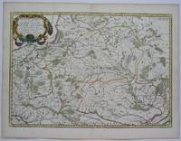
1655M5101Paris 1655. Excellent. Size : 395x560 mm 15.5x22 Inches Coloring: Original Outline Coloring Category: ; Maps Europe Poland Lithuania unknown
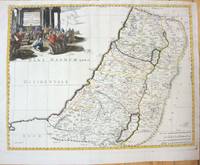
1660M7049Paris 1660. Very Good;. Notes: French map of the Holy Land with a decorative cartouche.<br><br>Nicolas Sanson 1600–1667 was a renowned French cartographer termed by some as the "father of French cartography." His works are known for their incorporation of the most up to date information of the time and their clean modern style. Size : 385x485 mm 15.16x19.09 Inches Coloring: Hand Colored Category: Maps Asia Middle East Holy Land & Palestine; unknown
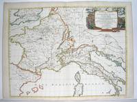
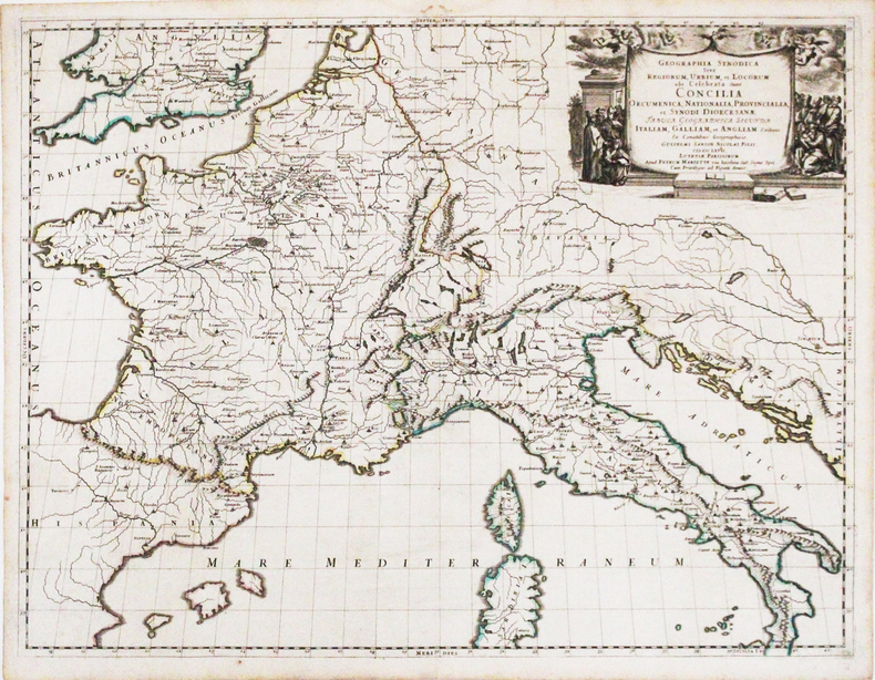
166725060Paris: P. Mariette 1667. Other. The centre fold minor spotting else in excellent condition. 395 by 565mm 15 by 22 inches. Rare and decorative large-format historical map of Europe showing the locations of Church Councils and Synods in original outline color. By Guillaume Sanson 16331703 Géographe du Roy published by Pierre Mariette Paris 1667. Image: 395 x 565 mm 15.5 x 22 inches. Decorated with a superb allegorical title cartouche depicting a Catholic council in session a unique historical and cartographic document. Guillaume Sanson 16331703 was a leading French cartographer who inherited the celebrated family firm from his father Nicolas Sanson 16001667 known as the 'Father of French Cartography' and official Géographe du Roy to Louis XIV. Like his father Guillaume held the title of Géographe Ordinaire du Roy. Much of his work after 1671 was published in collaboration with Alexis-Hubert Jaillot and together the Sanson dynasty dominated French cartography throughout the 17th century. Their maps are held in the Bibliothèque nationale de France the British Library and major research collections worldwide.This large and striking map plots the locations of ecumenical councils national synods provincial councils and diocesan synods across Europe a unique cartographic subject of combined religious and historical significance. The coverage extends from the British Isles and Iberian Peninsula across to the eastern Mediterranean including Cyprus and Syria with North Africa also shown. Political borders are rendered in hand-applied outline color. The splendid allegorical title cartouche depicts a Catholic council in session and was engraved to the highest standard of the Parisian workshop. The Geographia Synodica is among the most unusual and collectible maps ever published of Europe: a historic document of scholarship faith and cartographic craft. In excellent condition. Original outline color fresh and vivid. The centrefold shows minor spotting as expected for a 17th-century map of this size; all else excellent. No tears or significant foxing. 395 x 565 mm. P. Mariette unknown
1667M2849Paris 1667. Excellent. Size : 424x563 mm 16.625x22.125 Inches Coloring: Original Outline Coloring Category: ; Maps Europe France; Maps Europe Italy unknown
1667LBW-3266Paris, Pierre Mariette, 1667. 422 x 554 mm.
16411809140021Paris : Tavernier et a present Pierre Mariette 1641. First Edition. Maps. Good. 53 x 40 cm. Original engraved double page map of France. In gilt and black frame under glass. Some browning. Scale: 1:3000000. Paris : Tavernier, et a present Pierre Mariette unknown
1678M3431Paris: Mariette Pierre 1678. Excellent. Size : 357x595 mm 14x23.375 Inches Coloring: Original Outline with later cartouche coloring Category: ; Maps Asia Near East Turkey Mariette, Pierre unknown
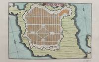
1690M9475Paris c.1690. Very Good. Notes: A charming map of Forteresse de Zante Greece during the late 17th century. Size : 104x154 mm 4.09x6.06 Inches Coloring: Hand Colored Category: Maps Europe Greece Macedonia; unknown
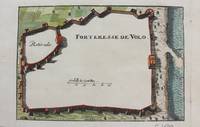
1690M9474Paris c.1690. Very Good. Notes: A charming map of Forteresse de Volo Greece during the late 17th century. Size : 104x153 mm 4.09x6.02 Inches Coloring: Hand Colored Category: Maps Europe Greece Macedonia; unknown
1690M9473Paris c.1690. Very Good. Notes: A charming map of Fort D'Asso Greece during the late 17th century. Size : 104x153 mm 4.09x6.02 Inches Coloring: Hand Colored Category: Maps Europe Greece Macedonia; unknown
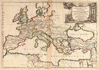
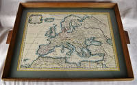
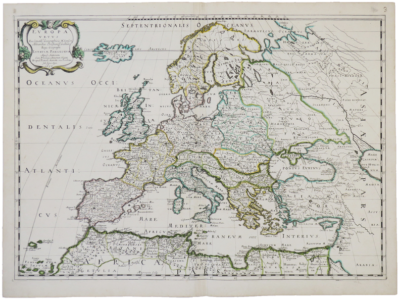
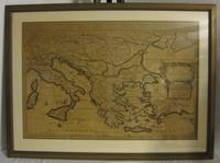
16502312280001Petrum Mariette: Lutetiae Parisiorum 1650. First Edition. Maps. Very Good. Ancient Europe : The Roman Empire Fine hand-colored double-page engraved map of Roman provinces of Europe. Mounted in wood frame with wooden side handles. Dimensions of mounted image: 40 x 56 cm. 53 x 69.5 cm in frame. Latin province names cities seas. This is an oversized or heavy book which requires additional postage for international delivery outside the US. Petrum Mariette: Lutetiae Parisiorum unknown
1650LBW-4944Paris, chez l'auteur et chez Pierre Mariette, 1650. 393 x 553 mm.
165556109Paris. 1655. Attractive map of Morocco and parts of Algeria. Maps by Sanson in original colour are rare. Nicolas Sanson was founder of the French school of mapmakers at a time when the leadership in European cartography passed from the Low Countries to France. Copper engraving. Very good condition. Some light browning to the centre fold. Attractive water mark. Original colour. Size: 53 x 40 cm. 21 x 15½ inches unknown
1692001000Paris: Chez H. Jaillot 1692. First edition thus. Map. Good/No jacket as issued. Large double page copper engraved map 23" x 34 1/2". Contains wide margins and a decorative cartouche. Hand-colored boundaries and cartouche. General age-toning with minor browning. Nicely framed in modern rope effected matte gold frame 32" x 42" with gilt bordered white mat and acrylic glaze. A good copy of this scarce map. All text in French Printed just 9 years after the Ottomans besieged Vienna. Extra shipping may apply for foreign orders. Chez H. Jaillot unknown
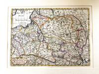
1683M11172Paris c.1683. Very Good. Notes: French map showing Poland and the surrounding region.<br>Nicolas Sanson 1600–1667 was a renowned French cartographer termed by some as the "father of French cartography." His works are known for their incorporation of the most up to date information of the time and their clean modern style. Size : 188x256 mm 7.40x10.08 Inches Coloring: Hand Colored Category: Maps Europe Poland Lithuania; unknown