MIRO, JoanLivre Rare Book
587 résultats
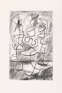
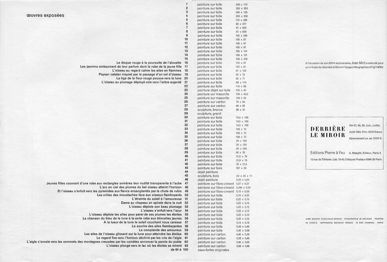
1953808Paris Maeght éditeur, 1953. In-folio (380 x 280 mm) en feuilles, 20 pages non paginées et un feuillet dépliant imprimé. 12 LITHOGRAPHIES ORIGINALES EN COULEURS dont 1 en double page et la célèbre composition "Nocturne" en quintuple page. L'ouvrage est entièrement composé et lithographié en couleurs par Joan Miro. Textes et inscriptions par Miro. DLM édité en juin 1953 pour l'exposition, à la Galerie Maeght, de 63 peintures et 36 eaux-fortes originales de 1952 et 1953 . Tirage original d'une grande rareté. Excellent état de conservation, le célèbre "Nocturne" à l'état de neuf.
192483438Sous étui-chemise cartonnés. Couverture marron rempliée.
19363722<p>Paris: Editions Ars 1936 Quarto 28.5 x23 cm. wrappers 8 iv 23 plates total edition of 415 plus the additional original lithograph Self-Portrait 1923 as called for issued in the first 115 copies. Lajos Tihanyi 1885-1938 one of the most important Hungarian modernist painters was a deaf mute from a childhood illness. Despite his handicap and largely self-taught he was recognized quite early on as a formidable talent and played an important role in the modernist Nagybánya Nyolcák and avant-garde Aktivizmus movements up to his departure from Hungary in 1919. Living in Paris from 1922 he developed into nonobjective abstraction and was part of the Abstraction-creation group. At the same time he continued executing expressionist portraits of a wide international circle of friends and associates. These included Gyula Halász Brassai Ivan Goll George Antheil Hungarian émigrés and surrealist poet Robert Desnos who authored this book. Desnos gave the valedictory at Tihanyi's funeral accompanied by Count Mihály Károlyi. This copy is warmly inscribed by Tihanyi to the Swiss painter Hans Schiess and the self portrait lithograph is also included with his personal dedication. This copy very good; litho has light foxing.</p> : Editions Ars paperback
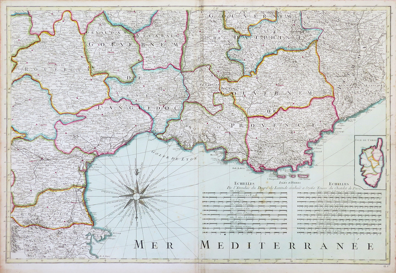
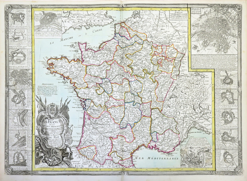
1793LBW-4303Paris, C.n Desnos, 1793. En 6 feuilles non jointes pouvant former une carte de 1,54 x 1,50 m.
1782LBW-4311Paris, Desnos, 1782. 510 x 731 mm.
193066749Nrf | Paris 1930 | 12 x 19 cm | broché
194246908Gallimard | Paris 1942 | 12 x 19 cm | relié
194266314Gallimard | Paris 1942 | 12 x 19 cm | broché
1789138456Paris: Desnos 1789. hardcover. very good. Miniature atlas. 32 double-page hand-colored maps throughout engraved title 2pp. catalogue of contents and 1789 calendar at end of book 24mo full contemporary red levant gilt-decorated spine with black leather label; corners lightly bumped some light foxing in margins. Paris: Desnos 1789. Very good .<br/><br/> Desnos unknown books
16-5909Paris: mis au jour et eÌxeÌcuteÌ par le S. Desnos Ing. GeÌogr. pour les Globles SpheÌ€res et Instrumens de MatheÌmat. Rue S. Jacques au Globe 1765. 4to 21.5 x 27cm. Contemporary qtr. gilt calf and boards worn. With 56 double pages handcolored maps and 2 large fold-out maps. Lacking map no. 2. OCLC Number / Unique Identifier:557434253.Giovanni Antonio Bartolomeo Rizzi Zannoni was one of the leading cartographers of the late 18th century as well as being an astronomer surveyor and mathematician. Born in Padua he worked in Venice and was engaged by the governments of Austria and France to produce maps. Rizzi Zannoni was the first to execute the triangulation of Poland assisting in the French and English border survey of American in 1757 and serving as the hydrographer of the Dépot de Marine. He was also a member of the Cosmographic Society of Göttingen a town in Saxony Germany home to the University of Göttingen. Rizzi Zannoni is known for his world atlas the French edition of which was published in 1762 as Atlas Moderne by Lattré in Bordeaux. In 1781 he was invited by the Bourbon rulers of the Kingdom of Naples to direct the Topographical Office among the first governmental cartographic agencies in Europe. There he produced celebrated land and maritime atlases of the region as well as many separately issued maps. His Atlante Marittimo delle due Sicile 1793 is cited by map historian R.V. Tooley as “remarkable for a marvelously minute attention to detail and amply deserves the commendation passed upon it by Sir George Fordham†Tooley 21. Paris: mis au jour et eÌxeÌcuteÌ par le S. Desnos Ing. GeÌogr. pour les Globles, SpheÌ€res, et Instrumens de MatheÌmat. Ru hardcover
19754461Neuenburg (pour Neuchâtel), Galerie Ditesheim, 1975. 2 volumes sous emboîtage de toile écrue, gaufrage sur le premier plat, étiquette de titre au dos.
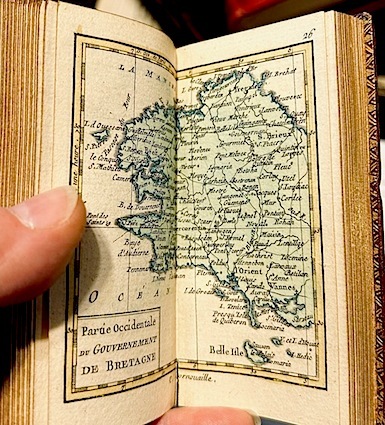
178555445à Paris: Chez Desnos 1785. Fine. Chez Desnos à Paris 1785 6 x 11 cm In-24 relié New edition illustrated with 2 double maps and 156 maps engraved recto-verso all heightened in colors. One frontispiece and one engraved title. Contemporary publisher's binding in full red morocco. Smooth spine decorated. Brown morocco title label. Gilt edges. One restoration at foot and one at corner. Gilding sometimes faded. Good copy. Chez Desnos unknown
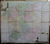
1791M5426Paris 1791. Very Good disected and laid on original canvas folding map. Notes: A decoratvie cartoche is on the upper left corner and a decorative map legend is located in the lower right. Size : 745x850 mm 29.25x33.5 Inches Coloring: Original Hand Coloring Category: Maps Folding Map; Maps Europe West Benelux General; Maps Europe West Germany; Maps Europe West Switzerland; Maps Europe West Austria unknown
1768130631768 basane mouchetée, dos à n. (mouillure marginale aux 3 premiers ff.). in-4, titre, frontispice, 1 carte, 18 cartes montées sur onglet la plupart dépliantes, 6 et 10 pp. Paris Au globe 1768
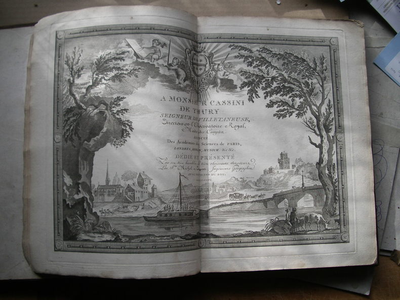
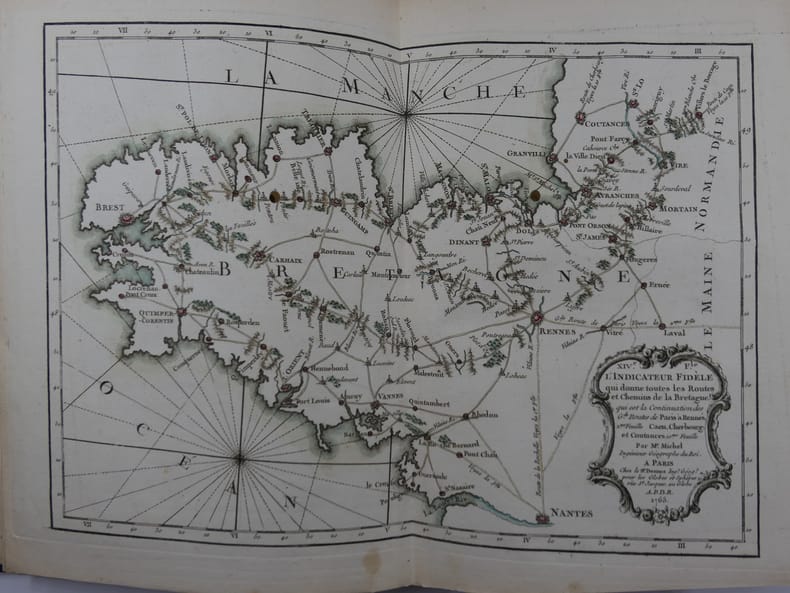
176581119Paris, Rue Saint-Jacques à L'Enseigne du Globe, 1765, in-4 (21x27,5cm), reliure tardive (19e s.) en demi-chagrin bleu nuit à dos long, titre et filets à l'or, plats papier marbré oeil de chat, Contient 19 cartes montées sur onglets, certaines dépliantes : une Carte Générale de France, IIe Feuille: Route de Paris à Rennes. IIIe F. Route de Paris à Bordeaux et Toulouse. IVe F. Route de la Diligence de Lion. Ve F. Le Carosse de Strasbourg. VIe F. Routes de Champagne, Lorraine, Franche-Comté, partie de la Bourgogne et de l'Alsace. VIIe F. Troisième Route de Paris à Strasbourg. VIIIe F. 3e Route de Paris à Strasbourg. IXe F. Grande Route des Prov. de Picardie, de Thiérache, d'Artois, de Hainaut, de la Flandre et des Pays-Bas. Xe F. Route des Provinces de Normandie, Boulonois, partie de la Flandres et Picardie, et Route de Paris à Londres. XIe F. Détail de la première Route d'Amsterdam à Marseille. XIIe F. suite Route Amst. à Mars. XIIIe F. Grande Route de Strasbourg à Wienne. XIVe F. Carte de Bretagne. XVe F. Routes et Chemins des Communications, compris entre les 4 grandes routes de Paris à Nantes et Rennes. XVIe F. Carte de Gacogne. XVIIe F. Qui donne les Routes et Chemins, tant Royaux que Particuliers, compris entre les deux grandes Routes de Paris à Toulouse. XVIIIe F. Qui donne les continuations des Routes Orientales et Méridionales des Grandes Routes de Paris à Marseille. Suit : un Prospectus du Guide des Voyageurs (1ff), un Catalogue Alphabétique des Routes Royales et Particulières (3ff), un Catalogue alphabétique du Supplément des 1380 Villes et Routes de France (4ff). MANQUE la Première Feuille, représentant Paris et les villages de la Banlieue.
177514862Desnos Paris 1775 1 vol. In-24 de 2 ff.n.ch. 49 feuillets double, plein maroquin rouge de l'époque, dos lisse orné, pièce de titre, triple filet doré en encadrement sur les plats, roulette intérieure, tranches dorées.
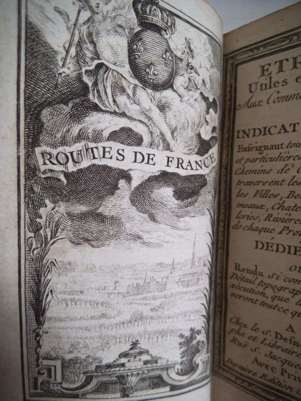
12565Etrennes utiles et nécessaires aux commerçants et voyageurs ou indicateur enseignant toutes les routes Royales et particulières de la France, et les chemins de communication qui traversent les grandes routes : les villes, bourgs, villages, hameaux, châteaux, abbayes, hôtelleries, rivières, bois et les limites de chaque province distinguée. Dédiées au Roi. Ouvrage rendu si complet, tant pour le détail topographique, que pour l’exécution que les amateurs y trouveront tout ce qu’ils peuvent désirer. A Paris chez S. DEDNOS ingénieur géographe et libraire de S.A Danoise Rüe st Jacques, au globe 1774.Dernière édition, corrigée, at augmentée. Frontispice gravé, titre avec encadrement, gravés, carte générale des routes de France (sur double page) Carte des environs de Paris sur doble pages) 150 cartes rehaussées en couleurs table des routes contenus dans ce recueil. (9 pages) 1 pages de remarques, 6 cartes en couleurs, 9 pages additions de la table. 2 pages avis, 24 pages blanches (pour annotation). En volume in 16 plein chagrin rouge pièce de titre chagrin vert, fers, roulette, filets dorés ; Roulette dorée encadrant les plats, filet doré sur coupes, dentelle dorée intérieure, tranches dorées. Très bon état d’ensemble, superbe état des cartes, coloris frais.
178555445Chez Desnos | à Paris 1785 | 6 x 11 cm (In-24) | relié
1934015080Paris S.n. 1934 In-4 Broché Edition originale Dédicacé par l'auteur
193039432Paris: Editions Charles Moreau 1930. First edition. Hardcover. g- to vg. Folio 17 2/8 x 12 6/8". 4pp Title and list of contents 36 loose leaves Plates as issued. Original quarter black cloth over illustrated paper covered boards. String ties. Illustrated title. This remarkable work is a pictorial survey of French Art Deco locksmith and ironworks in the late 1920s and early 1930s. The 36 striking photographic plates reproduced in heliotype depict numerous realized projects and projects of hand railings ironwork stairs gates doors and doorways executed by some of the most famous architects and craftsmen of the period such as: Raymond Subes Lucien Bechmann Henri Pacon Léon Gaudibert P. Jumelle R. Genuys Louis-Hippolyte Boileau Germain Debré Jean Dunand J. Rey Joseph Marrast Jean Walter Jean Prouvé Le Corbusier P. Jeanneret Dominique Chollet et Mathon Nics Frères Robert Mallet-Stevens Walter Gropius Henri Martin Michel Roux-Spitz G. Perzel Szetlak Pierre Patout Joseph Bassompierre Sirvin et de Rutte Joseph-Charles de Montarnal Bezault Frères Freynet et Deperthes P. et G. Bloch L. Praeger Molinie et Nicod Gilbert Poillerat Albert Laprade G. Vaudoyer Schenck E. Arrighi Henri Palausi Auguste Bluysen J. Lacoste Edgar Brandt Louis Plousey and Urbain Cassan. Moderate rubbing and age-toning along edges of portfolio. Head of spine slightly frayed. Lower margin of front cover and lower fore-edge of back board slightly water-stained. Water-staining to lower margin of text pages not affecting text slightly affecting the tip of the lower margin of plates throughout not affecting images. Text and captions in French. Portfolio in overall good- interior in good plates in good to very good images in very good condition. Editions Charles Moreau hardcover
1760M5799Paris: Desnos 1760. Very Good. Notes: French map of Poland Lithuania and the surrounding region.<br>1760 edition of rare Nicolas De Fer's map. Size : 480x590 mm 18.875x23.25 Inches Coloring: Hand Colored in Outline Category: Maps Europe Poland Lithuania Desnos unknown
192442525Paris: Editions du Sagittaire 1924. Fine. Editions du Sagittaire Paris 1924 11.50 x 16 cm broché First edition one of 700 numbered copies on Rives this one not justified the only printing along with 50 Japon. Handsome and rare autograph inscription from Robert Desnos to Gabriel Reuillard "".admirons l'absurdité des choses."" A good copy. Editions du Sagittaire unknown
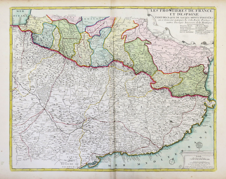
1792LBW-4312Paris, Desnos, 1792. 498 x 603 mm.
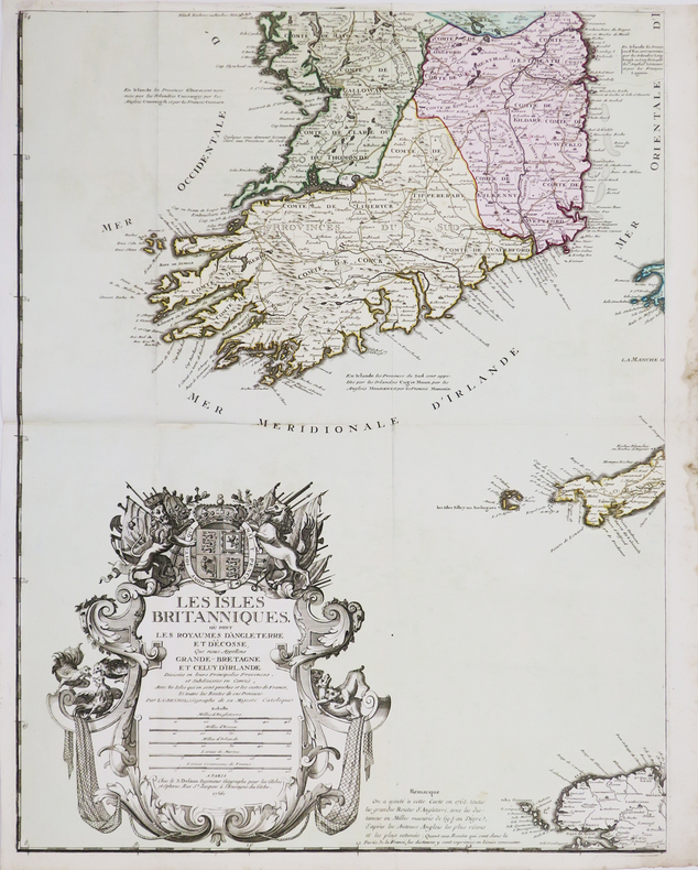
1766LBW-4461Paris, S. Desnos, 1766. En quatre feuilles pouvant être jointes pour former une carte de 1,06 x 0,86 m.
194391028Paris: Robert J. Godet 1943. Fine. Robert J. Godet Paris 1943 22.2 x 29.5 cm En feuilles First edition printed in 170 numbered copies on Holland paper this copy being one of the 100 reserved for Robert J. Godet.Illustrated with ten burin engravings by Gaston-Louis Roux.A very good copy with only a few negligible and faint spots to some leaves. Robert J. Godet unknown