335 résultats
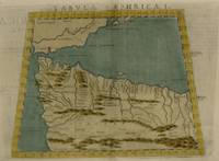
1535M6976Lyons: Melchior & Gaspar Trechsel c. 1535. Very Good;. Notes: No text on verso.<br><br>This is based on Waldseemuller's map Norwich 286 with borders and ornaments by Holbein and Graf. The reissued map includes six kings seated on their thrones a rhinoceros a cyclops and two oxen. <br><br>"As northern Africa was better known than southern Africa at that period it has more geographical information in the interior. Various kingdoms are described with a multitude of coastal names and as with the southern part . these are placed within the coastline. The Mediterranean and Red Seas are prominently featured as well as a number of islands on the northwest coast -- Madeira the Canaries etc. -- which at that time were already well known to the Portuguese in their initial efforts to discover a route to the Indies." Norwich Size : 320x400 mm 12.60x15.75 Inches Coloring: Black & White Reference: Norwich 286 Category: Maps Africa North; Melchior & Gaspar Trechsel unknown
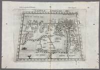
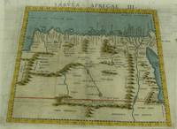
1574005867Venice: Vincenzo Valgrisi 1574. 1574 Edition. Engraving on Copper. Very Good. Double-page copperplate engraved map with letterpress text. Image: 26 x 19 cm. Sheet: 34 x 24 cm. A highly decorative and historically significant 16th-century map of North and Northeast Africa derived from Ptolemy’s 2nd-century geography. The map was published in the 1574 edition of Geographia edited by Girolamo Ruscelli and printed in Venice by Vincenzo Valgrisi. This is “Tabula Africae III†the third of Ptolemy’s Africa maps focusing on: Libya Egypt Cyrenaica Thebes and parts of Arabia Prominent classical sites including: Alexandria Cyrene Memphis Thebes Ptolemais Ammonis templum Mountain chains rivers and desert regions in stylized Renaissance form The map features Latin titling and classical toponyms while the verso contains the original Italian commentary explaining the geography cities and coordinates. CONDITION: Very good. Strong impression with clear platemark. Central fold as issued. Mild age toning and minor wear to margins. Backed at top center. Verso complete with full letterpress text Tavola Terza d’Africa Antica. Note: only this 1574 edition contains Vincenzo Valgrisi's elaborate printer's emblem showing: A lion leaping or attacking a smaller animal often interpreted as a fox and a large bird resembling an ostrich standing nearby. Vincenzo Valgrisi unknown
1574M7260Venice: Ruscelli c. 1574. Very Good;. Notes: Italian text on verso.<br>Girolamo Ruscelli 1518–1566 was an Italian mathematician and cartographer active in Venice during the early 16th century. Ruscelli is best known for his important revision of Ptolemy's Geographia published posthumously in 1574. Size : 189x261 mm 7.44x10.28 Inches Coloring: Hand Colored Category: Maps Africa North Egypt;Maps Africa North; Ruscelli unknown
1561M7261Venice: Ruscelli 1561. Very Good;. Notes: Italian text on verso.<br>Girolamo Ruscelli 1518–1566 was an Italian mathematician and cartographer active in Venice during the early 16th century. Ruscelli is best known for his important revision of Ptolemy's Geographia published posthumously in 1574. Size : 188x165 mm 7.40x6.50 Inches Coloring: Hand Colored Category: Maps Africa North; Ruscelli unknown
1574M7259Venice: Ruscelli c. 1574. Very Good;. Notes: Italian text on verso.<br>Girolamo Ruscelli 1518–1566 was an Italian mathematician and cartographer active in Venice during the early 16th century. Ruscelli is best known for his important revision of Ptolemy's Geographia published posthumously in 1574. Size : 190x253 mm 7.48x9.96 Inches Coloring: Hand Colored Category: Maps Africa North; Maps Mediterranean Islands; Ruscelli unknown
1574M7258Venice: Ruscelli c. 1574. Very Good;. Notes: Italian text on verso.<br>Girolamo Ruscelli 1518–1566 was an Italian mathematician and cartographer active in Venice during the early 16th century. Ruscelli is best known for his important revision of Ptolemy's Geographia published posthumously in 1574. Size : 187x262 mm 7.36x10.31 Inches Coloring: Hand Colored Category: Maps Africa North; Ruscelli unknown
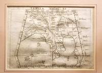
1561M11293Venice 1561. Very Good. Notes: Detailed and early map of Southeast Asia and the Malay Peninsula.<br>The map shows Ptolemy's idea of a landlocked Indian Ocean. <br>Girolamo Ruscelli 1518–1566 was an Italian mathematician and cartographer active in Venice during the early 16th century. Ruscelli is best known for his important revision of Ptolemy's Geographia published posthumously in 1574. Size : 173x232 mm 6.81x9.13 Inches Coloring: Black & White Category: Maps Asia South East Malaysia & Singapore; Maps Asia Central India & Sri Lanka / Ceylon; unknown
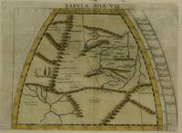
1574M7277Venice: Ruscelli c. 1574. Very Good;. Notes: Italian text on verso.<br>Girolamo Ruscelli 1518–1566 was an Italian mathematician and cartographer active in Venice during the early 16th century. Ruscelli is best known for his important revision of Ptolemy's Geographia published posthumously in 1574. Size : 190x260 mm 7.48x10.24 Inches Coloring: Hand Colored Category: Maps Asia Central Tibet & Himalayas; Maps Asia Far East China; Ruscelli unknown
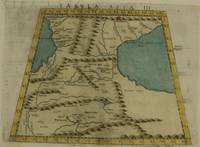
1574M7273Venice: Ruscelli c. 1574. Very Good;. Notes: Italian text on verso.<br>Girolamo Ruscelli 1518–1566 was an Italian mathematician and cartographer active in Venice during the early 16th century. Ruscelli is best known for his important revision of Ptolemy's Geographia published posthumously in 1574. Size : 192x264 mm 7.56x10.39 Inches Coloring: Hand Colored Category: Maps Asia Middle East Caucasus.; Ruscelli unknown
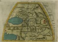
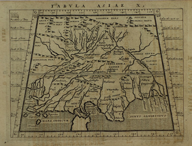
1574M7276Venice: Ruscelli c. 1574. Very Good;. Notes: Italian text on verso.<br>Girolamo Ruscelli 1518–1566 was an Italian mathematician and cartographer active in Venice during the early 16th century. Ruscelli is best known for his important revision of Ptolemy's Geographia published posthumously in 1574. Size : 191x266 mm 7.52x10.47 Inches Coloring: Hand Colored Category: Maps Asia Central Turkmenistan Uzbekistan Tajikistan Kyrgyzstan Kazakhstan; Maps Asia Central Afghanistan Pakistan; Maps Asia Central India & Sri Lanka / Ceylon; Ruscelli unknown
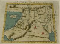
1574M7274Venice: Ruscelli c. 1574. Very Good;. Notes: Italian text on verso.<br>Girolamo Ruscelli 1518–1566 was an Italian mathematician and cartographer active in Venice during the early 16th century. Ruscelli is best known for his important revision of Ptolemy's Geographia published posthumously in 1574. Size : 192x266 mm 7.56x10.47 Inches Coloring: Hand Colored Category: Maps Asia Middle East Holy Land & Palestine;Maps Asia Middle East Jordan Syria Lebanon;Maps Asia Near East Turkey; Ruscelli unknown
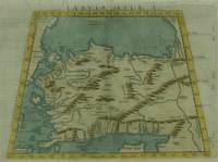
1574M7271Venice: Ruscelli c. 1574. Very Good;. Notes: Italian text on verso.<br>Girolamo Ruscelli 1518–1566 was an Italian mathematician and cartographer active in Venice during the early 16th century. Ruscelli is best known for his important revision of Ptolemy's Geographia published posthumously in 1574. Size : 190x266 mm 7.48x10.47 Inches Coloring: Hand Colored Category: Maps Asia Near East Turkey; Ruscelli unknown
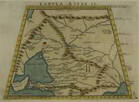
1574M7272Venice: Ruscelli c. 1574. Very Good;. Notes: Italian text on verso.<br>Map of the ancient region of Asiatic Sarmatia.<br>Girolamo Ruscelli 1518–1566 was an Italian mathematician and cartographer active in Venice during the early 16th century. He was also an alchemist writing pseudonymously as Alessio Piemontese.<br>Claudius Ptolemy better known mononymously as Ptolemy was a Greco-Roman mathematician astronomer astrologer geographer and music theorist who wrote about a dozen scientific treatises three of which were important to later Byzantine Islamic and Western European science. Size : 188x262 mm 7.40x10.31 Inches Coloring: Hand Colored Category: Maps Russia; Ruscelli unknown
1574M7278Venice: Ruscelli c. 1574. Very Good;. Notes: Italian text on verso.<br>Girolamo Ruscelli 1518–1566 was an Italian mathematician and cartographer active in Venice during the early 16th century. Ruscelli is best known for his important revision of Ptolemy's Geographia published posthumously in 1574. Size : 188x264 mm 7.40x10.39 Inches Coloring: Hand Colored Category: Maps Asia Central Afghanistan Pakistan; Ruscelli unknown
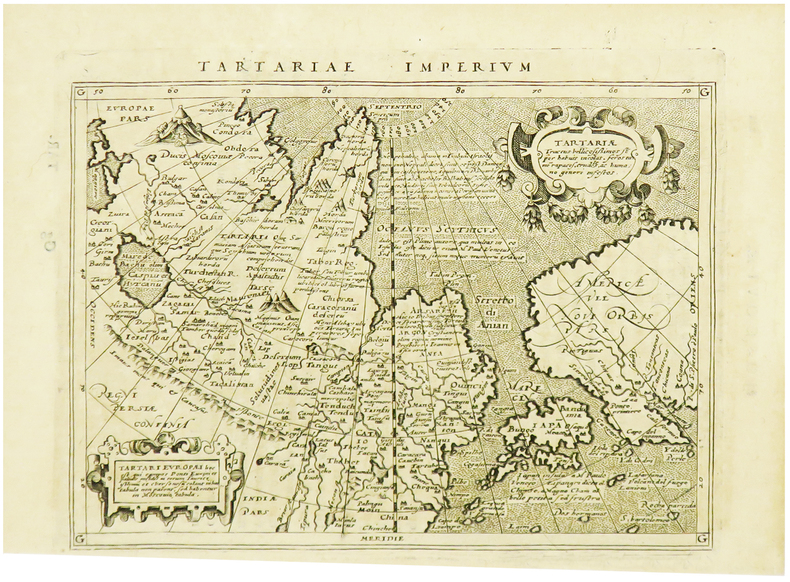
1617LBW-1932[Arnhem, Joannes Jansson, 1617]. 129 x 167 mm.
1574M11040Venice c.1574. Very Good. Notes: Map of the British Isles United Kingdom based on Ptolemy's map.<br>Girolamo Ruscelli 1518–1566 was an Italian mathematician and cartographer active in Venice during the early 16th century. Ruscelli is best known for his important revision of Ptolemy's Geographia published posthumously in 1574. Size : 190x262 mm 7.48x10.31 Inches Coloring: Black & White Category: Maps Europe United Kingdom; unknown
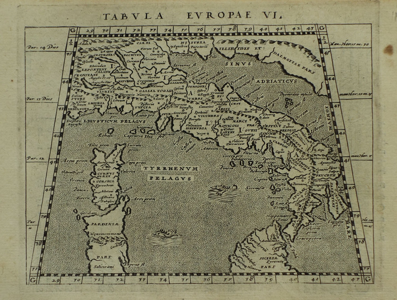
1562046246Venice: Valgrisi 1562. Early Edition. Single map leaf from one of the Ruscelli pocket editions of Ptolemy - likely the 2nd edition printed in 1562 the first was 1561 the 3rd 1564. Light soiling - a very good impression. Image area is 10.5' x 8". Size: Quarto 4to. Quantity Available: 1. Shipped Weight: Under 1 kilo. Category: Geography & Maps; Inventory No: 046246. Valgrisi unknown books
1617LBW-1931[Arnhem, Joannes Jansson, 1617]. 127 x 163 mm.
1617LBW-1921[Arnhem, Joannes Jansson, 1617]. 130 x 166 mm.
154115881Vienna 1541. Very good condition. The second map to show just southern Africa; it is based on the Waldseemuller modern map of southern Africa and derived from Ptolemy. Decoratively illustrated with African kings serpents an elephant and a Christian soldier riding a sea monster towards Madagascar. Three large rivers arise from a mountain range labeled 'Fontes Nili' source of the Nile other mountain ranges and coastal towns named in Latin or Portuguese. With the figure of the King of Portugal riding a sea monster towards Madagascar. <br /> <br /> Based on the slightly larger map from 1513 published in "Ptolemy's Geographia". The atlas was reprinted in 1520 1522 1525 1535 and 1541. This wood block was cut in 1525 for the publisher J.Grünninger. This being the variant of 1541 now without the banner title but title in letter type and blank verso.<br /> <br /> From the last edition of Ptolemy's "Geography" with maps by Laurens Fries and the text edited by Michael Servetus. Servetus was accused of heresy and burnt at the stake. Calvin ordered that copies of the book should be burnt with him although this copy seems to have eluded the flames. <br /> <br /> Wood block map with early hand color. Blank on the verso with the number 39 at the lower right corner. Image size: 16 7/8 x 13". Paper size: 21 1/4 x 15". Strengthened on the verso very faint browning at middle of center fold otherwise very good. Betz p. 55-56. Tooley "Map Collectors' Circle No. 30 Printed Maps of the Continent of Africa Part II" p. 61-62. Karrow "Mapmakers of the Sixteenth Century" unknown
151354087Strasbourg. 1513. Originalt tresnitt. Arkets størrelse : 60 cm X 425 cm. Norsk. <br/><br/><em>“Martin Waldseemüller a highly accomplished scholar of geography merged the science of mapmaking and the art of printing in his 1513 atlas one of the most groundbraking documents in the history of cartography. He intended this atlas as a new edition of Ptolemy’s Geographia but included the addition of 20 modern maps which were not based upon the tradition of Ptolemy. Waldseemüller’s use of a quadratic plane projection was also a noteworthy advance.â€Martin Waldseemüller 1470-1520.Liten rift ved nedre marg. Et lite ormehull i venstre marg. Et par slitasjer i øvre marg. </em> unknown
200181701Planeta–De Agostini 2001. Planeta–De Agostini unknown
152556635Strasbourg. 1525. Originalt tresnitt. Arkets størrelse : 535 cm X 395 cm. Latin. <br/><br/><em>Latinsk tekst. Bretten noe gulnet et par brunpletter.Med Kypros.Map of Palestine Mesopotamia and Babylonia in present day Middle East.Relief shown pictorially.Includes names of places and natural features.Descriptive text within ornamental borders on verso.Appears in the author's Geographia translated by Willibald Pirckheimer with annotations by Joannes Regiomontanus. Argentoragi i.e. Strasbourg : Iohannes Grieningerus communibus Iohannis Koberger impensis excudebat anno a Christi Natiuitate 1525 tertio Kalendas Apriles. Boston Public Library. </em> unknown
1617LBW-1964[Arnhem, Joannes Jansson, 1617]. 129 x 170 mm.