610 résultats
Underlining in ink in a few places in text. (However, this may actually be underlined in the author's text as published) ; Argues that Macedonia is part of Greece by looking at the ancient sources. ; 114 pages
Top of spine bumped. Top corner slightly bumped. Creasing to corners. Light Discoloration to front wrap and spine. Writing to front inner cover in black ink: "Dr. G. L. Cawkwell - with the author's compliments". Light pencil marginalia. ; 120 pages; This book is a study of the relations between Athens and Macedonia during some dramatic years in the 4th century B.C. Montgomery analyzes the speeches of the great orator Demosthenes to elucidate the political play behind the Athenian decision to go to war against King Philip II during the Elatea crisis of 338.; Signed by Author
193718391937. Bucarest Académie roumaine 1937- Broché 17 cm x 25 cm 76 pages + carte et photos hors-textes non coupé bibliographie - Texte de T. Capidan - Bon état
Q-0688140653Quill. paperback. New. New. In shrink wrap. Looks like an interesting title! Quill paperback
Very Good English Paperback. Roy. 8vo. (24 x 17 cm). In Macedonian with a short French summary. 175-180 pp. Addition to the studying of the stylistic and expressive characteristics of the Macedonian folk proverbs (summary).= Prilog kon prouchuvacheto na stilsko-izraznite karakteristiki na Makedonskite narodni poslovitchi i pogovorki. [SIGNED COPY]. [Separatum from Makedonski Folklor = Le Folklore Macedonien, Godina II, Epoj 3-4]. Signed and inscribed by Sazdov to Turkish folklorist Tahir Alangu, (1915-1973). Tome Simon Sazdov, (1934-) is a Yugoslav humanist educator.
Mm 175x240 Volume rilegato in tela rosa originale con titolo in oro al piatto e al dorso, fogli di guardia decorati, xii-155 pagine con 111 illustrazioni in nero su tavole non comprese nel testo e 7 carte a colori delle operazioni militari, più volte ripiegate, allegate in chiusura. Prefazione del Generale di Corpo d'Armata Petitti di Roreto. Libro in ottime condizioni con legature ben salde; spedizione in 24 ore dalla conferma dell'ordine.
1947707809.Ghardcover. Good. Access codes and supplements are not guaranteed with used items. May be an ex-library book. hardcover
1993Q-0688120962William Morrow & Co 1993-11-01. Hardcover. New. In shrink wrap. Looks like an interesting title! William Morrow & Co hardcover
8vo., First Edition, with 20 plates on 12, a double-page map in the text and a large folding panorama photograph; black cloth, gilt back, a very good, clean copy in dustwrapper, the latter lightly creased and frayed at edges. Scarce, especially in the dustwrapper. Enser, p.320.
Cloth is torn at bottom base of spine (~1 cm). Minor chipping to cloth at head and heel of spine. ; Acquaints the reader in a scholarly manner, as revealed in documents and other material of Bulgarian and foreign origin, including books and chronicles, newspapers and literature, with the historical fate and development of the Bulgarian population in Macedonia. The volume covers the period from the arrival of the Slavs and proto-Bulgars in the Balkan penisula, leading to the formation of the Slav-Bulgarian state in 681, and of the Bulgarian nationality (Slav in essence and Bulgarian in name) towards the end of the 9th century, up to 1940 ie. Until the beginning of the Second World War in the Balkans.
Historia - Einzelschriften 184; 254 pages; In 224 BC, under the hegemony of the King of Macedon, Antigonos Doson, Greek states joined together to form a symmachy that held strong until the second Macedonian war. In the center of this study on this Hellenistic group are questions on its formation and role, the role of Macedonia, the differing interests of its members, and of the eventual cause of its failure. The results shed new light on the composition, structure, and functioning of this federation. German text.
1993136748Ekdotike Athenon 1993 In-4 cartonnage plein étoile noir, titre doré, 31 cm sur 24,7. 254 pages. Page de garde avec tampon “Donated”. Jaquette en mauvais état. État correct d’occasion.
3486588184.Ghardcover. Good. Access codes and supplements are not guaranteed with used items. May be an ex-library book. hardcover
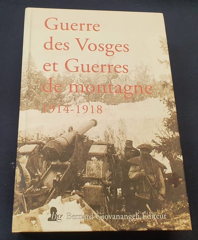
2016LRB542Giovanangeli 2016 In4 ( 25 x 17 cm ) - cartonnage de l'éditeur - 507 pages - cahier photographique hors texte
1906GITc047Paris Plon 1906. In-8 broché XXII 326pp. Orné d'une grande carte dépliante. Exemplaire bien complet de sa carte.
165027240Paris Mathieu Guillemot 1650 Une gravure sur cuivre au burin en noir sur papier vergé, ligné, gravée d'après les originaux de l'édition de NICOLAY de 1568, Format à la cuvette : 27,3 centimètres de haut par 17,3 centimètres de large. Format total : 32,8 centimètres de haut par 21,3 centimètres de large, tirée de "L'histoire de la décadence de l'empire grec et établissement de celuy des Turcs" de Laonikos Chalcocondyle, par Thomas Artus d'Embry, d'après Nicolas de Nicolay, léger manque de papier en marge en bas à gauche ne touchant à aucun moment la gravure, 1650 Paris, Mathieu Guillemot Editeur,
181125675Chez Yvernault et Cabin 1811 XXIV-389+439 pages Lyon. in-12. 1811. Plein cuir avec les dos décorés. 2 volume(s). XXIV-389+439 pages. Traduite par M. Beauzée - Nouvelle édition enrichie des suppléments de Freinshémius et corrigée d'après l'édition de Min-Ellius
3x60Macedonia Cigaretten Comp. Dresden 1933. 38 unpagenierte kart. Seiten mit 150 aufgezogenen Bildern Bild 148 fehlt u. 1 gefalt. Karte. kart. quart. Album III: Spreewald unknown
Very Good German Original color map on cloth. A little foxing on cloth. Very good. Folded. Oblong folio. (45 x 51 cm). In German. [MAP of WEST GREECE] L.15. Philiataes (Corfu). Jonisches Meer. Scale: 1/300.000. A sheet of the collection of 'The general map of Central Europe'. appeared in the years between 1873-1876 with the work of Joseph Ritter von Scheda, (1815-1888) who was a general, geographer and cartographer.
Very Good German Original color map on cloth. Oblong atlas folio. (46 x 52 cm). Toponyms in German. [MAP of BALKANS] J.10. Glina and around. North Bosnia and Herzegovina sheet. A sheet of the collection of 'The general map of Central Europe'. appeared in the years between 1873-1876 with the work of Joseph Ritter von Scheda, (1815-1888) who was a general, geographer and cartographer.
Very Good German Original color map on cloth. Oblong atlas folio. (46 x 52 cm). Toponyms in German. [MAP of OTTOMAN BALKANS] L.14. Berat. Shows South Albanian shores, Corfu, Berat et alli. Lithography. (Argyrokastro). A sheet of the collection of 'The general map of Central Europe'. appeared in the years between 1873-1876 with the work of Joseph Ritter von Scheda, (1815-1888) who was a general, geographer and cartographer.
Bound in gilt-stamped maroon cloth. Scholar's name to ffep (E. Badian). Corners bumped. Some shelfwear. ; Printed on one side only. Dissertation. ; Diss. ; 195 pages
Bound in gilt-stamped maroon cloth. Minor shelfwear. Typed script. ; Printed on one side only. Dissertation. ; Diss. ; 195 pages