610 résultats
Very Good French Original engraved b/w map. Folded. A little foxing. Otherwise very good and clean copy. Folio. (40 x 27 cm). In French. From 'Voyage Egypte et en Syrie.; pendant les années 1783, 1784 et 1785, suivi de considérations sur la guerre des russes et des turks, publiées en 1788 et 1789, Vol. 1 (Egypt chapter). At north, Mer Mediterranee, Syrie,, Alexandrie, Delta, et alli. Also shows Desert d'Arabie, Desert d'Afrique; with El Tih ou Desert de l'Egarement, Bahr ou Mer de Qolzoumm, Mer Rouge, Ancien Thebes, et alli.
2026x-1032558687Taylor & Francis Ltd 2026. Paperback. New. 300 pages. 6.14x0.63x9.21 inches. Taylor & Francis Ltd paperback
Good Turkish, Ottoman (1500-1928) Original color map. Folded. Tears in margins. Slightly stained. Otherwise a good copy. Oblong atlas folio. (50 x 60 cm). In Ottoman script. [MAP of EAST BLACK SEA] Artvin, Rize, Oltu. Shows Artvin and Georgian borders, Rize (Rizeon - Rizunda - Rizini) and Oltu cities and regions. Scale: 1/200.000. Hegira: 1330 = Gregorian: 1914. This is one the serie of the Bonn projection maps which are the first map series in modern techniques in Turkey and the Ottoman Empire. In order to produce these maps covering Turkish territory, Reconnaissance Branch was incorporated into The Mapping Commission. The maps were produced in the datum based on the latitude and longitude of Ayasofya Mosque in equal area Bonn Projection. The field works for the 123 sheets covering the country were conducted by 76 staff. The production was completed in 18 years starting from east west. Field works continued without stopping except in years 1914 and 1920. This map series called also reconnaissance maps contributed a lot to producing 1:25.000 scale maps. Not description on map-maker. Extremely rare.
Outside dimensions 14.5" x 10.5". Circa 1902. Centerfold. Light wear. Please see our photo for details. Book
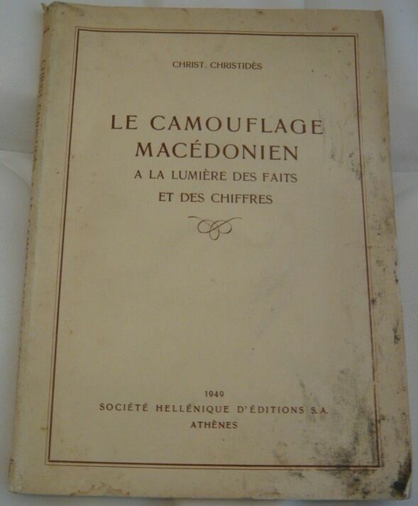
194959761949. Athènes Société Hellénique d'Editions S.A. 1949 - Broché 17 cm x 24 cm 146 pages cartes graphiques et tableaux statistiques - Texte de Christophoros Christidès - Une tache sur la couv.sinon bon état intérieur
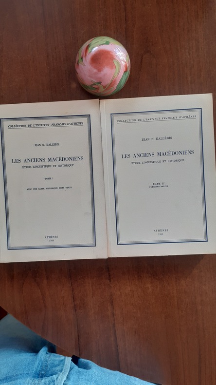
QWA-21142Athènes, Institut Français d'Athènes, 1988, 2 vol. in-8 br. (17x23,5),XXVI-682 p., Collection de l'Institut Français d'Athènes, pagination continue, réédition de l'étude parue en 1954, complet en deux tomes (le tome 3 n'ayant jamais paru), une carte historique h.-t. dépl. à la fin du tome 1, bon état.
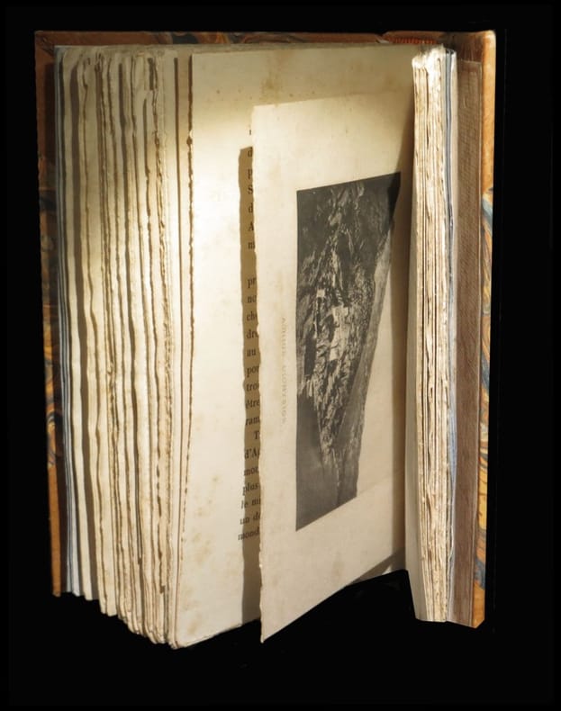
188428516Paris / Lyon, E. Plon, Nourrit et Cie / Librairie Briday, 1884. Un vol. au format in-12 (188 x 123 mm) de 1 f; bl., 2 ff. n.fol., 1 frontispice photographique n.fol., 246 p.;, 1 f. n.fol. et 1 f. bl. Reliure postérieure de demi-maroquin sable à coins, dos muet à nerfs, couvertures conservées.
Very Good Turkish, Ottoman (1500-1928) Original color map on cloth. A little foxing on cloth. Very good. Folded. Oblong atlas folio. (50 x 67 cm). In Ottoman script. Scale: 1/300.000. Map of Ottoman Kayseri printed in its period. No publisher and map-maker. Physical geography of Kayseri city and its around. It shows Kayseri, Sultan Sazligi, mountains and hills, Malatya borders, etc.
Very Good Turkish, Ottoman (1500-1928) Original color map. Folded. Oblong atlas folio. (50 x 60 cm). In Ottoman script. [MAP of EAST ANATOLIA] Malatya - Divrigi, Mancinik, Adiyaman, Harput. Shows Malatya, Adiyaman and Kharpout region; Firat River (Euphrates), Yazi Düzü, Erguvan etc. Scale: 1/200.000. This is one the serie of the Bonn projection maps which are the first map series in modern techniques in Turkey and the Ottoman Empire. In order to produce these maps covering Turkish territory, Reconnaissance Branch was incorporated into The Mapping Commission. The maps were produced in the datum based on the latitude and longitude of Ayasofya Mosque in equal area Bonn Projection. The field works for the 123 sheets covering the country were conducted by 76 staff. The production was completed in 18 years starting from east west. Field works continued without stopping except in years 1914 and 1920. This map series called also reconnaissance maps contributed a lot to producing 1:25.000 scale maps. Hegira: 1332 = Gregorian: 1916. Not description on map-maker. According to Türkezer & Çobanoglu: History of Mapping in Turkey-1:200.000 Scale Maps, cartographer of this map is Kambay, Cemal.
Very Good German Original color map on cloth. A little foxing on cloth. Very good. Folded. Folio. (57 x 46 cm). In German with Turkish place names in Latin script. 40-42 Egri Palanka (Kriva Palanka): Serbien, Bulgarien, Türkei. Serbian, Bulgarian and Turkish borders. Map shows from south to the north: Tikves, Vardar River (Axios), Radovista, Stip (Istib), Ezevopolje, Plackovica, Bereketli, Mustafa Ovasi (Mustafa Plain), Kliseli, Kocana, Vinica, Egri (Kriva) Palanka, Kozjak, Sveli Ilija, Kjustendil (Köstendil), et alli. 39'30' östlich v. Ferro. (Longitude given from Ferro- El Hierro island).
Very Good French Paperback. Roy. 8vo. (24 x 16 cm). In French. [8], [1 frontispiece with a portrait], [xvi], 81, [2] p. Chipped on extremities of wrappers. Spine repaired by restoration tape. Overall a good copy. The Dukagjini were an Albanian feudal noble family. They may have been relatives or descendants of the earlier Progoni, who founded the first Albanian state in recorded history, the Principality of Arbanon. Their domain extended from northern Albania to western Kosovo. The city of Lezhe was its most important holding. The Dukagjini evolved from an extended clan (farefisni) to a feudal family in the late 13th century, when their first known progenitor Gjin Tanushi who became known as a dux (duke) and thus his descendants took the surname Dukagjini. By the early 15th century, they had evolved in one of the most important feudal families in the country. After the Ottoman conquest of Albania, a branch of them found refuge and settled in Venetian Koper, where they became known as the Docaini family which held the governorship of the town until the early 17th century, when the last male line Docaini died. Another branch, converted to Islam from Catholic Christianity and remained in the Ottoman Empire, where they reached the high ranks of Ottoman leadership and produced many governors (pashas) in the Middle East, where descendants of them live in the modern period. Basri Bey, together with names such as Enver Bey and Kazim Karabekir, he was among the founders of the Manastir organization of the Union and Progress Society, which played an important role in the declaration of the Constitutional Monarchy. Basri Bey went to the opposition ranks with the claim that the Unionists, whom he thought was under the influence of a small clique, were moving away from the reforms and ideals, and expressed heavy criticism against them. Albania and the Ottoman Empire are important in terms of witnessing firsthand the approach of the Unionists on the eve of the Balkan War and Albanian independence, as well as the world of feelings and thoughts of the people of the region and especially the rebel Albanians. In this book, Basri Bey explained his thoughts on the nature of the Albanian revolt and the motives of the rebels against the Ottoman Empire.

Very Good Turkish, Ottoman (1500-1928) Original color map. Oblong atlas folio. (51 x 61 cm). In Ottoman script. Folded. Topography and toponyms of East Anatolia: Shows Erzurum region, Hasankale (Pasinler), Oltu, Hinis, Karakilise and surroundings. Scale: 1: 200.000. This is one the serie of the Bonn projection maps which are the first map series in modern techniques in Turkey and the Ottoman Empire. In order to produce these maps covering Turkish territory, Reconnaissance Branch was incorporated into The Mapping Commission. The maps were produced in the datum based on the latitude and longitude of Ayasofya Mosque in equal area Bonn Projection. The field works for the 123 sheets covering the country were conducted by 76 staff. The production was completed in 18 years starting from east west. Field works continued without stopping except in years 1914 and 1920. This map series called also reconnaissance maps contributed a lot to producing 1:25.000 scale maps. Rare.
Very Good Turkish, Ottoman (1500-1928) Original color map. Folded. Oblong atlas folio. (50 x 60 cm). In Ottoman script. Shows Eastern and Southeastern parts of Anatolia; Maras, Elbistan, Birecik and Kilis areas. Hegira: 1333 = Gregorian: 1917. Not description on map-maker.
Very Good Turkish, Ottoman (1500-1928) Original color map. Folded. Oblong atlas folio. (50 x 60 cm). In Ottoman script. [MAP of EAST ANATOLIA and ARTVIN] Oltu, Artvin, Ispir, Hasankale. Shows Artvin, Ispir, Hasankale and Kars city. Scale: 1/200.000. This is one the serie of the Bonn projection maps which are the first map series in modern techniques in Turkey and the Ottoman Empire. In order to produce these maps covering Turkish territory, Reconnaissance Branch was incorporated into The Mapping Commission. The maps were produced in the datum based on the latitude and longitude of Ayasofya Mosque in equal area Bonn Projection. The field works for the 123 sheets covering the country were conducted by 76 staff. The production was completed in 18 years starting from east west. Field works continued without stopping except in years 1914 and 1920. This map series called also reconnaissance maps contributed a lot to producing 1:25.000 scale maps. Hegira: 1332 = Gregorian: 1916. Not description on map-maker.
Very Good Turkish, Ottoman (1500-1928) Original color map. Folded. Oblong atlas folio. (50 x 60 cm). In Ottoman script. [MAP of EAST ANATOLIA] Hozat, Dersim. Shows Eastern parts of Anatolia; Dersim-Horat and border of Erzincan city; Divrigi; Harput (Kharpout); Kilis; and Munzur Mountains, et alli. Scale: 1/200.000. Hegira: 1330 = Gregorian: 1914. Not description on map-maker.
Very Good Turkish, Ottoman (1500-1928) Original color map. Folded. Oblong atlas folio. (50 x 60 cm). In Ottoman script. [MAP of EAST BLACK SEA] Trabzon, Giresun, Erzincan, Ispir. Shows Trebizond, Cerasonte, Erzingan (Eriza), Suspiritis (Sper) of Erzurum (Erzeron city); mostly Black Sea shores of Trabzon and Giresun. . Scale: 1/200.000. This is one the serie of the Bonn projection maps which are the first map series in modern techniques in Turkey and the Ottoman Empire. In order to produce these maps covering Turkish territory, Reconnaissance Branch was incorporated into The Mapping Commission. The maps were produced in the datum based on the latitude and longitude of Ayasofya Mosque in equal area Bonn Projection. The field works for the 123 sheets covering the country were conducted by 76 staff. The production was completed in 18 years starting from east west. Field works continued without stopping except in years 1914 and 1920. This map series called also reconnaissance maps contributed a lot to producing 1:25.000 scale maps. Hegira: 1336 = Gregorian: 1920. Not description on map-maker. Extremely rare.
Very Good Turkish, Ottoman (1500-1928) Original color map on cloth. Folded. Oblong atlas folio. (50 x 60 cm). In Ottoman script. Shows Konya city and around, Alaiye at south. Not description on map-maker. Scale: 1: 200.000. This is one the serie of the Bonn projection maps which are the first map series in modern techniques in Turkey and the Ottoman Empire. In order to produce these maps covering Turkish territory, Reconnaissance Branch was incorporated into The Mapping Commission. The maps were produced in the datum based on the latitude and longitude of Ayasofya Mosque in equal area Bonn Projection. The field works for the 123 sheets covering the country were conducted by 76 staff. The production was completed in 18 years starting from east west. Field works continued without stopping except in years 1914 and 1920. This map series called also reconnaissance maps contributed a lot to producing 1:25.000 scale maps. Rare.
Very Good Turkish, Ottoman (1500-1928) Original color map on cloth. Folded. Oblong atlas folio. (50 x 60 cm). In Ottoman script. [MAP of MAGNESIA - AEGEAN REGION] Manisa - Soma, Izmir, Aydin cities (Magnesia, Smyrna and Tralleis) in Aegean region. It shows villages and settlements in Tayakadin of Iskenderiye. Scale: 1/25.000. Hegira: 1328 = Gregorian: 1912. This is one the serie of the Bonn projection maps which are the first map series in modern techniques in Turkey and the Ottoman Empire. In order to produce these maps covering Turkish territory, Reconnaissance Branch was incorporated into The Mapping Commission. The maps were produced in the datum based on the latitude and longitude of Ayasofya Mosque in equal area Bonn Projection. The field works for the 123 sheets covering the country were conducted by 76 staff. The production was completed in 18 years starting from east west. Field works continued without stopping except in years 1914 and 1920. This map series called also reconnaissance maps contributed a lot to producing 1:25.000 scale maps. Not description on map-maker. A very detailed map showing lakes, rivers and mountains. Extremely rare.
Very Good Turkish, Ottoman (1500-1928) Original color map. Folded. Oblong atlas folio. (50 x 60 cm). In Ottoman script. Scale: 1/200.000. [MAP of EAST ANATOLIA - ERZERON] [Erzurum:] Oltu, Artvin, Hasankale, Ispir. This is one the serie of the Bonn projection maps which are the first map series in modern techniques in Turkey and the Ottoman Empire. This is one the serie of the Bonn projection maps which are the first map series in modern techniques in Turkey and the Ottoman Empire. In order to produce these maps covering Turkish territory, Reconnaissance Branch was incorporated into The Mapping Commission. The maps were produced in the datum based on the latitude and longitude of Ayasofya Mosque in equal area Bonn Projection. The field works for the 123 sheets covering the country were conducted by 76 staff. The production was completed in 18 years starting from east west. Field works continued without stopping except in years 1914 and 1920. This map series called also reconnaissance maps contributed a lot to producing 1:25.000 scale maps. Not in Ataturk Library and TBMM Library.
Very Good Turkish, Ottoman (1500-1928) Original color map. Folded. Oblong atlas folio. (50 x 60 cm). In Ottoman script. Shows Eastern parts of Anatolia; Siverek, Urfa city and border of Diyarbakir and Adiyaman cities; Siverek; Harput (Kharpout); et alli. Scale: 1/200.000. Hegira: 1333 = Gregorian: 1917. Not description on map-maker. This is one the serie of the Bonn projection maps which are the first map series in modern techniques in Turkey and the Ottoman Empire. This is one the serie of the Bonn projection maps which are the first map series in modern techniques in Turkey and the Ottoman Empire. In order to produce these maps covering Turkish territory, Reconnaissance Branch was incorporated into The Mapping Commission. The maps were produced in the datum based on the latitude and longitude of Ayasofya Mosque in equal area Bonn Projection. The field works for the 123 sheets covering the country were conducted by 76 staff. The production was completed in 18 years starting from east west. Field works continued without stopping except in years 1914 and 1920. This map series called also reconnaissance maps contributed a lot to producing 1:25.000 scale maps. Subasi is cartographer of this map according to Türkezer - Cobanoglu: History of Mapping in Turkey-1:200.000 Scale Maps.
Very Good German Original color map on cloth. A little foxing on cloth. Very good. Folded. Folio. (57 x 43 cm). Toponyms in German. [MAP of BALKANS] 40-44 Zajecar. [Macedonia, Donau -Danube- River, Hungary and Bulgaria border, East Serbia].
Very Good German Original color map on cloth. A little foxing on cloth. Very good. Folded. Oblong folio. (45 x 51 cm). In German. [MAP of WEST GREECE] L. 15. Paramythia (Corfu). Jonisches Meer. Scale: 1/300000. A sheet of the collection of 'The general map of Central Europe'. appeared in the years between 1873-1876 with the work of Joseph Ritter von Scheda, (1815-1888) who was a general, geographer and cartographer.
19951220506PN. New. 1995. Reprint Edition. Soft Cover. Date is copyright date; this is a later reprint edition . PN paperback
(Viaggi - Macedonia - Penisola balcanica - Impero ottomano - Folklore - Etnografia - Europa sud-orientale) In 8°, legatura in piena tela editoriale blu con filetti e titoli impressi in oro al dorso, pp. X,(2),343,(1) + pp. 31,(1) di pubblicità editoriale, con 8 tavole fotografiche in b/n fuori testo di cui una in antiporta ed una mappa più volte ripiegata alla fine del volume. Legatura integra con lievi tracce del tempo, punti di ossidazione all'interno circoscritti ad alcune pagine ed ai fogli di guardia, dovuti alla porosità della carta usata, per altro buon esemplare. Relazione sulla missione di ricerca etnografica compiuta nel 1900 nella Macedonia ottomana, su incarico dell'Università di Cambridge, dallo scrittore e giornalista britannico G. F. Abbott. Prima edizione.
27573PARIS, Auguste Picard, 1910 - 1 ère Edition - Reliure 1/2 basane, frottée - In-8, 15 x 22,5 cm - Dos à nerfs, daté en queue - Titre doré Nombreuses illustrations in et hors texte - XI-837 pages - PHOTOGRAPHIES SUR DEMANDES - Envoi rapide et soigné