ISHAK HAKKI SUBASI, (1890-1932?].MareMagnum
Christophoros ChristidèsLivre Rare Book
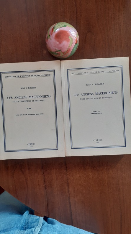
Le camouflage macédonien à la lumière des faits et des chiffres
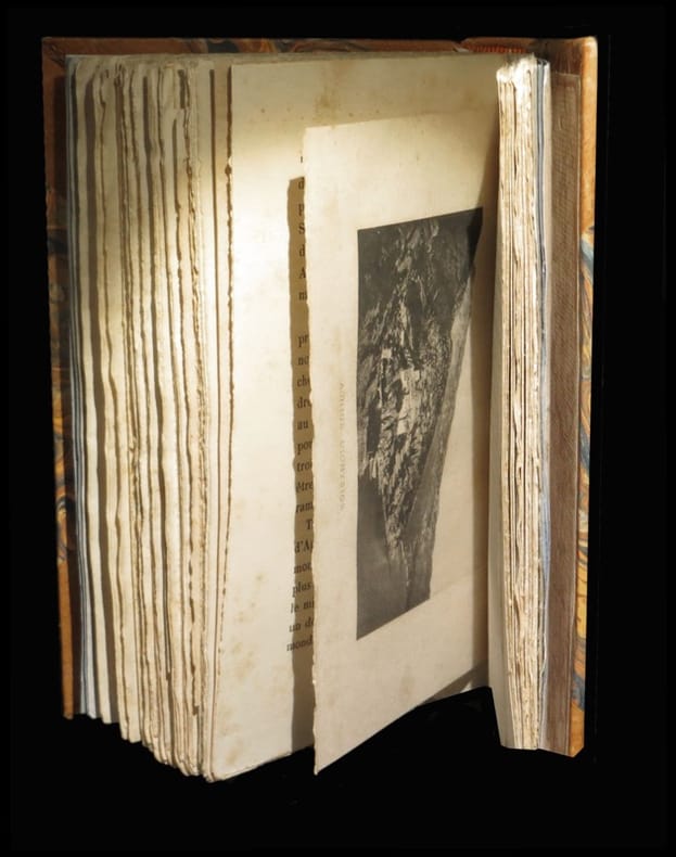
194959761949. Athènes Société Hellénique d'Editions S.A. 1949 - Broché 17 cm x 24 cm 146 pages cartes graphiques et tableaux statistiques - Texte de Christophoros Christidès - Une tache sur la couv.sinon bon état intérieur
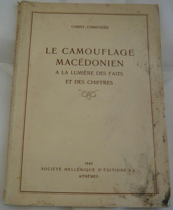
Librairie Sedon · Rochefort, France90,00 €