SANSON (Nicolas).Biblio.com
267 résultats
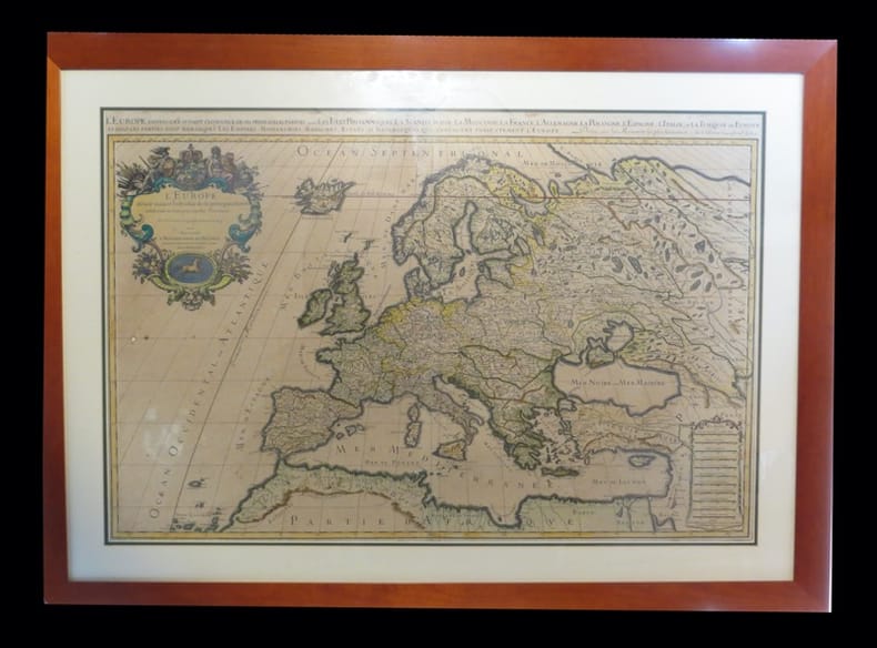
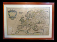
1690192941690. S.l. Alexis Hubert Jaillot 1680. Une grande carte 892 x 592 mm composÂŽe de deux feuillets contrecollÂŽs sous cadre moderne. Attractive 892 x 592 mm carte de la fin du XVIIÂme avec rehauts aquarellÂŽs du temps. Elle s'orne d'un important cartouche aux armes du Grand Dauphin Louis de France et s'agrÂŽmente en marge gauche de la figuration de vaisseaux ayant pris part ˆ un combat naval. Kupcik Cartes gÂŽographiques anciennes p. 159. Papier trÂs lÂŽgÂrement oxydÂŽ. PrÂŽsence de rares et claires rousseurs ou petites t‰ches. Deux plissures et une infime perforation en marge supÂŽrieure droite. Du reste belle condition. b42961 unknown
169019294S.l., Alexis Hubert Jaillot, 1680. Une grande carte (892 x 592 mm) composée de deux feuillets contrecollés, sous cadre moderne.
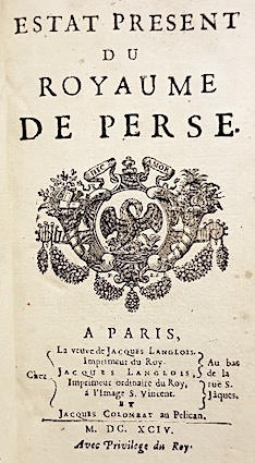
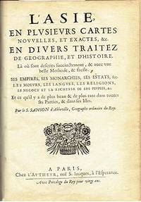
169414621Langlois Paris 1694 1 vol. In-12 de 6 ff.n.ch. 264 pp. 12 ff.n.ch. (table), basane fauve de l'époque, dos lisse frottée, pièce de titre, tranches rouges (épidermures et quelques trous de vers sur la reliure).
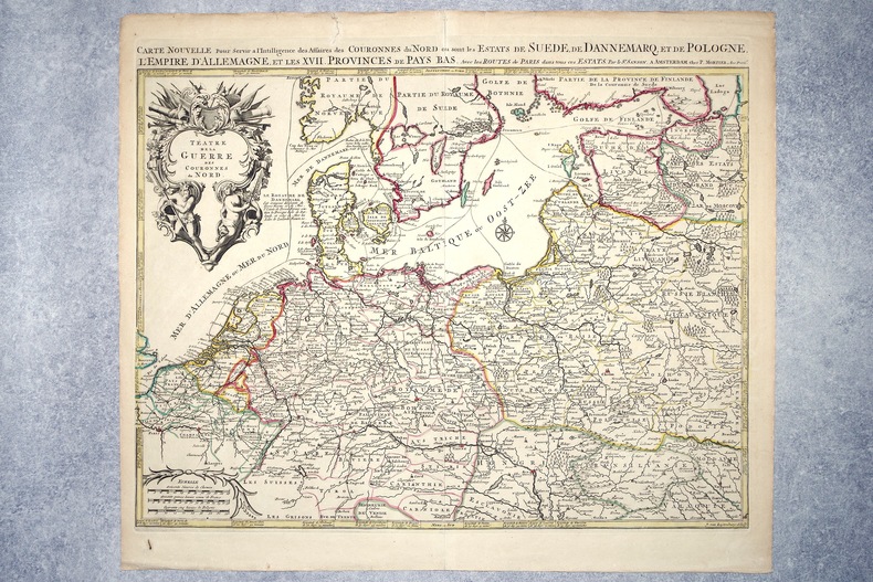
16962308A AMSTERDAM. CHEZ P. MORTIER. SANS DATE (VERS 1696). GRANDE CARTE GEOGRAPHIQUE, GRAVEE PAR JOAN VAN LUGTENBURG, LIMITES COLORIEES A LA MAIN D'EPOQUE (46,5 X 58 CENTIMETRES ENVIRON, 53 X 61,5 CENTIMETRES ENVIRON AVEC LES MARGES), AVEC UN CARTOUCHE DECORATIF AUX ATTRIBUTS MILITAIRES DONNANT LE TITRE. BON ETAT.
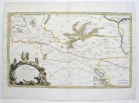
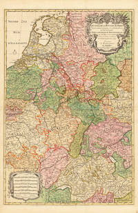
169228137Paris 1692. Other. Schönes tadelloses Exemplar. . 803 by 560mm 31 by 22 inches. Hand-Colored Original Copperplate Engraving by Alexis-Hubert Jaillot & N. Sanson depicting Le Cours de la Riviere du Rhein depuis sa Source jusques a son Emboucheure ou sont distingues Tout les Estats et Souverainetes qui sont dessus et aux enuirons. Tire de tous les Memoires les plus Nouveaux Parle Sr. Sanson Geopgraphe Ordinaire du Roy. Published Paris 1692. Sheet: 803 by 560mm 31 by 22 inches. A fine and original hand-colored example of Jaillot's celebrated cartographic work documenting this region of Germany with the precision and decorative artistry characteristic of the 16900s. Alexis-Hubert Jaillot c.1632-1712 was one of the foremost French cartographers of the late 17th and early 18th centuries. Working in Paris he produced magnificent large-format maps of European territories often in collaboration with Nicolas Sanson -- considered the father of French cartography. Jaillot's maps are known for their striking decorative cartouches generous size and fine hand coloring representing the pinnacle of French Baroque cartography.This original copperplate engraving with original hand coloring depicts the region of Le Cours de la Riviere du Rhein depuis sa Source jusques a son Emboucheure ou sont distingues Tout les Estats et Souverainetes qui sont dessus et aux enuirons. Tire de tous les Memoires les plus Nouveaux Parle Sr. Sanson Geopgraphe Ordinaire du Roy published in Paris 1692. The map records the political and geographic boundaries of the region as understood in 1692 offering a fascinating window into the history of German territorial organization. Sheet measures 803 by 560mm 31 by 22 inches. In good condition consistent with its age of over 330 years. Ready to frame. unknown
169143500Amsterdam Huguetan & Mortier 1691. 56x85 cm. Large engraved map of Terra Sancta with original colours in outline. With two large engraved cartouches. Small repairs to lower part of centerfold. <br/><br/><em>This is Jaillot's large version of Sanson's map of Palaestine divided into tribes. </em> unknown
169143500Amsterdam, Huguetan & Mortier, 1691. 56x85 cm. Large engraved map of Terra Sancta with original colours in outline. With two large engraved cartouches. Small repairs to lower part of centerfold.
1690M9575Paris c. 1690. Very Good. Notes: A charming map of Negroponte Chalcis Greece during the late 17th century. Size : 104x154 mm 4.09x6.06 Inches Coloring: Hand Colored Category: Maps Europe Greece Macedonia; unknown
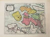
1693M10774Paris 1693. Very Good. Notes: Map of the county of Zeeland. Size : 440x575 mm 17.32x22.64 Inches Coloring: Original Hand Coloring Category: Maps Europe Benelux; unknown
1700M7994Paris c. 1700. Very Good. Notes: Engraved by Cordier.<br>A map of Central Germany. Frankfurt appears at the south-center of the map. Size : 457x648 mm 17.99x25.51 Inches Coloring: Original Hand Coloring Category: Maps Europe Germany; unknown
1700M7991Paris: S. Jallot c. 1700. Very Good. Notes: Map of Northern Germany Size : 650x460 mm 25.59x18.11 Inches Coloring: Original Hand Coloring Category: Maps Europe Germany; S. Jallot unknown
1655M5583Paris 1655. Very Good. Size : 385x535 mm 15.125x21 Inches Coloring: Hand Colored Category: Maps Africa North unknown
1678M3431Paris: Mariette Pierre 1678. Excellent. Size : 357x595 mm 14x23.375 Inches Coloring: Original Outline with later cartouche coloring Category: ; Maps Asia Near East Turkey Mariette, Pierre unknown
1678M3434Paris: Mariette Pierre 1678. Excellent. Size : 390x522 mm 15.375x20.5 Inches Coloring: Original Outline with later cartouche coloring Category: ; Maps Asia Near East Turkey Mariette, Pierre unknown
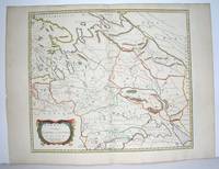
1654M2853Paris 1654. Excellent. Size : 415x483 mm 16.375x19 Inches Coloring: Original Outline Coloring Category: Maps Russia unknown
16697613À Paris chez l'autheur. Encadré Très bon Paris 1669 1669 44 x 55 cm avec son cadre ancien.
1632LBW-1373[Paris, Melchior Tavernier, 1632-1637]. 412 x 532 mm.
1655LBW-4533Paris, P. Mariette, 1655. 419 x 556 mm.
1670LBW-587Paris chez l'autheur 1670 circa 393 x 552 mm.
1658LBW0394dParis P. Mariette 1658 421 x 525 mm.
169233626Paris 1692. Schönes tadelloses Exemplar. . 803 by 560mm 31 by 22 inches. Hand-Colored Original Copperplate Engraving by Alexis-Hubert Jaillot & N. Sanson depicting Le Cours de la Riviere du Rhein depuis sa Source jusques a son Emboucheure ou sont distingues Tout les Estats et Souverainetes qui sont dessus et aux enuirons. Tire de tous les Memoires les plus Nouveaux Parle Sr. Sanson Geopgraphe Ordinaire du Roy. Published Paris 1692. Sheet: 803 by 560mm 31 by 22 inches. A fine and original hand-colored example of Jaillot's celebrated cartographic work documenting this region of Germany with the precision and decorative artistry characteristic of the 16900s. Alexis-Hubert Jaillot c.1632-1712 was one of the foremost French cartographers of the late 17th and early 18th centuries. Working in Paris he produced magnificent large-format maps of European territories often in collaboration with Nicolas Sanson -- considered the father of French cartography. Jaillot's maps are known for their striking decorative cartouches generous size and fine hand coloring representing the pinnacle of French Baroque cartography.This original copperplate engraving with original hand coloring depicts the region of Le Cours de la Riviere du Rhein depuis sa Source jusques a son Emboucheure ou sont distingues Tout les Estats et Souverainetes qui sont dessus et aux enuirons. Tire de tous les Memoires les plus Nouveaux Parle Sr. Sanson Geopgraphe Ordinaire du Roy published in Paris 1692. The map records the political and geographic boundaries of the region as understood in 1692 offering a fascinating window into the history of German territorial organization. Sheet measures 803 by 560mm 31 by 22 inches. In good condition overall with minor signs of age appropriate for a 17th-century engraving. Ready to frame. unknown
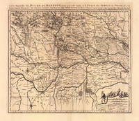
169319103Amsterdam: Pierre Mortier 1693-1700. Other. A strong impression in excellent condition. 490 by 580mm 19 by 22 inches. 490 by 580mm 19 by 22 inches. Original antique copper engraving uncolored from the 'Atlas Nouveau' published in Paris 1693. Depicting Mantua this map is a fine example of 1690s European cartography. Image: 490 by 580mm 19 by 22 inches. An attractive and historically significant 17th-century map for the discerning collector. Nicolas Sanson d'Abbeville 16001667 was the founder of the French school of cartography and arguably the most important French cartographer of the 17th century. Appointed Géographe Ordinaire du Roi to Louis XIII in 1630 he produced hundreds of maps that set a new standard for geographic accuracy and systematic coverage. His work was continued and expanded by Alexis-Hubert Jaillot and later by Pierre Mortier in Amsterdam ensuring that Sanson's surveys remained in use well into the 18th century. Maps bearing the Sanson name are prized for their scholarly precision large format and the elaborate cartouches that reflect the grandeur of the Sun King's court.Large detailed and interesting map by the famous French cartographer Nicolaus Sanson published in the famous sea atlas Le Neptune francois. in Amsterdam at Pierre Mortier. This interesting and large map was originally first published in the Atlas Noveau. by Alexis Hubert Jaillot & N. Sanson in Paris 1683-89. Alexis Hubert Jaillot & Nicolaus Jaillot worked as a royal cartographers for the French royal house for king Louis XIV. His maps published for the Atlas Nouveau. can be regarded as masterpieces of cartography in France in the ending 18th century. Also the maps impress by their accuracy and are providing an enormous amount of place names monasteries rivers trails fortifications etc. Shown is the duchy of Mantua Mantova in Northern Italy. Mantua is shown prominently in the center of the map. The map provides many place names detailed information on the river system also in the lower right corner a cartouche with a mileage scale and a table of explanations.A fine example from Atlas Nouveau Paris / Amsterdam sought after by collectors of antique maps of Italy antique maps of Mantua and antique copper engraving uncoloreds for sale. In good condition consistent with age. Shown is the duchy of Mantua Mantova in Northern Italy. Mantua is shown prominently in the center of the map. The map provides many place names detailed information on the river system also in the lower right corner a cartouche with a mileage scale and a table of explanations. Pierre Mortier unknown
1663283501Paris 1663. unbound. very good. Map. Hand-colored engraving. 15" x 23".<br/><br/> This map of Sicily from the 17th century shows the entire island as well as the southwesternmost tip of the Italian peninsula. The names of the surrounding bodies of water are named in Latin and rivers mountains lakes and towns are noted on the map. Nicolas Sanson 1600-1667 is considered the founder of the French school of cartography. In reaction to the prevailing trend of Dutch lavishness Sanson favored minimal details focusing rather on accurate cartography than ornament. This map is a fine example of his work.<br/><br/> unknown books
1663283501Paris 1663. unbound. very good. Map. Hand-colored engraving. 15" x 23".<br/> <br/> This map of Sicily from the 17th century shows the entire island as well as the southwesternmost tip of the Italian peninsula. The names of the surrounding bodies of water are named in Latin and rivers mountains lakes and towns are noted on the map. <BR> <BR> Nicolas Sanson 1600-1667 is considered the founder of the French school of cartography. In reaction to the prevailing trend of Dutch lavishness Sanson favored minimal details focusing rather on accurate cartography than ornament. This map is a fine example of his work.<br/> <br/> unknown
16626235Paris: Chez L'autheur 1662. Book. Good. Full-Leather. 4to - over 9¾" - 12" tall. 104 pages. Text only lacking all maps. Sound leather binding a little war at the top of the spine. No publication date assumed 1662. Chez L'autheur Hardcover