1 707 résultats
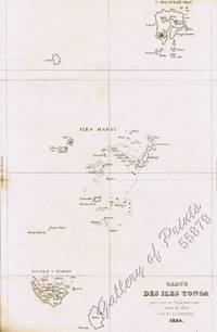
183455879<p>steel engraving map from 'Voyage Pittoresque Autour du Monde' vol.1 pl. 74. Dumont was a French explorer and naval officer. For thirty-eight months he explored the south and western Pacific Australia New Zealand and Antarctica. Several seaweeds plants and shrubs are named after him as well as D'Urville Island. Reference: Taylor 19 Graesse VIII 227. Condition: with paper loss and burn marks slightly into plate.</p> L. Tenré in Paris.
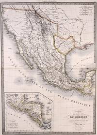
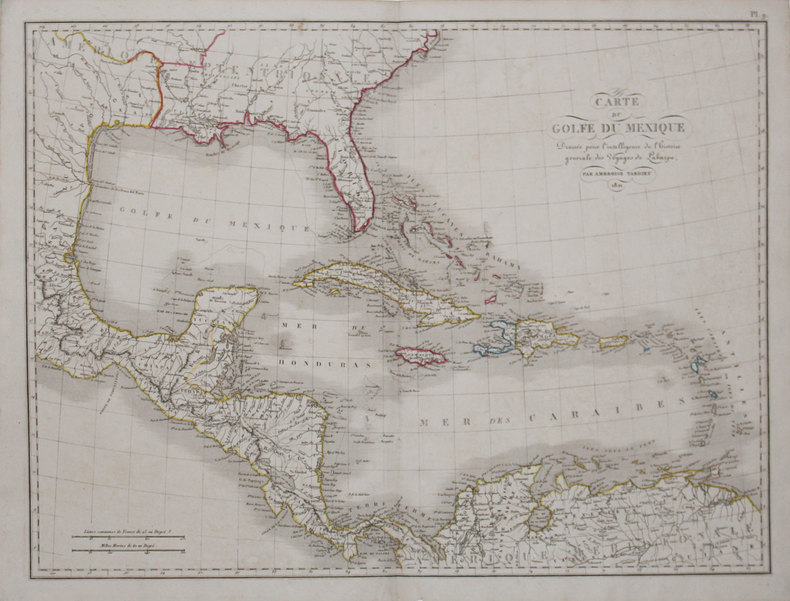
1842M7906Paris: P. Lehuby c. 1842. Very Good;. Notes: A rare and important version of Lapie's Mexico map circa 1842 which depicts Texas as an independent Republic. With an inset map in the lower left of Guatemala. Size : 550x395 mm 21.65x15.55 Inches Coloring: Original Outline Coloring Category: Maps United States South;Maps United States South Texas;Maps Central America Mexico; P. Lehuby unknown
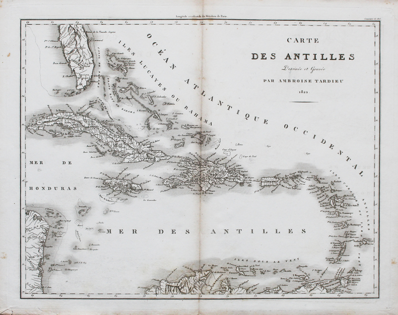
1822LBW-44761822. 370 x 468 mm.
27141Paris L. Tenré 1829 - 1832 une carte ancienne gravée en noir et bordures en rose, bleu et jaune par Couché fils graveur et J. M. Hacq scripsit, Format : 24 x 31 cm, Tirée de : "Oeuvres complètes de Buffon, augmentées par M. F. Cuvier ", 1829 - 1832 Paris F. D. Pillot Editeur,
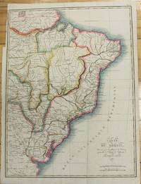
1821M2689Paris 1821. Very good. Size : 407x545 mm 16x21.5 Inches Coloring: Original Hand Coloring Category: Maps South America Countries; unknown
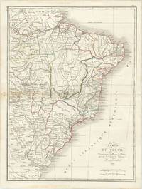
61285Paris: par Ambroise Tardieu 1821. Double page engraved map of Brazil 52.5 x 40 cm overall sheet size 58 x 44 cm. With outline hand colouring. Centrefold crease as issued. Small ink stain to upper right of map. Generally very good. Paris: par Ambroise Tardieu, 1821. unknown
7350De l'atlas Tardieu, circa 1840, carte 230x180 en couleurs, informations statistiques en marge (revenu, terres grasses et riches, mines et carrières, commerce et industrie, moulins à farine, rivières navigables, etc.) TRES BON ETAT.
7354De l'atlas Tardieu, circa 1840, carte 230x180 en couleurs, informations statistiques en marge (revenu, terres grasses et riches, mines et carrières, commerce et industrie, soies, rivière flottable, etc.) TRES BON ETAT.
3059De l'atlas Tardieu, circa 1840, carte 230x180 en couleurs, informations statistiques en marge (revenu, terres, productions, commerce et industrie, rivières navigables, etc.) Carte un peu froissée, sinon BON ETAT.
7353De l'atlas Tardieu, circa 1840, carte 230x180 en couleurs, informations statistiques en marge (revenu, terres grasses et riches, mines et carrières, commerce et industrie, soies, rivière flottable, etc.) BON ETAT.
7349De l'atlas Tardieu, circa 1840, carte 245x210 en couleurs, informations statistiques en marge (revenu, terres, productions, commerce et industrie, rivières navigables, etc.) Légères déchirures au niveau des plis, sinon TRES BON ETAT.
7351De l'atlas Tardieu, circa 1840, carte 230x180 en couleurs, informations statistiques en marge (revenu, terres, mines et carrières, commerce et industrie, rafineries, ports de mer, etc.) BON ETAT.
180627220PARIS Pierre Gilles Chanlaire et Edme Mentelle 1806 Une gravure Originale à l'eau-forte et au burin en noir : Format : 39,5 centimètres de haut par 55 centimètres de large, sur papier vergé ligné crème, 1806 Paris, Pierre Gilles Chanlaire et Edme Mentelle. Editeur,
1869555921 carte dépliante lithographiée en couleurs entoilée format 89 x 67,8 cm, Chambéry, 1869, Carte du Département de la Savoie par M. Conte, Ingénieur en Chef des Ponts et Chaussées, Officier des Ordres de la Légion d'Honneur, des SS. Maurice et Lazare, etc. etc. avec le Concours de Mr. Tardieu, Agent-Voyer Chef, Par Jh. Perrin, Libraire Editeur et Lithographe
1825LBW-32271821 [1825]. 406 x 542 mm.
180227422Paris Dentu 1802 carte ancienne d'époque en noir, gravée par Tardieu. Format total : 45,5 centimètres de haut par 51,5 centimètres de large, 1802 Paris Dentu Editeur,
6788S. l., P. F. Tardieu et P.H. Macquet, circa 1790. 2 feuilles à superposer (102 x 49,5 cm) x 2. Exemplaire avec réhauts de couleurs et à très grandes marges avec les îles Anglo-normandes dans un encart.
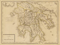
179734633Paris um 1797. In excellent condition. 34.5 x 435 cm 13.5 x 1725 inches. Original antique copper engraving colored in outline when published. Antique map of the Peloponnes in Greece hand colored in outline. Many place names rivers and mountains are shown. Title cartouche in the lower left corner mile sclae in the left sided middle. Pierre Antoine Tardieu also known as P.F. Tardieu March 9 1784 in Paris July 17 1869 in Paris was a French engraver steel engraver and cartographer.Pierre Antoine Tardieu was born in his family's ancestral home on Place de Estrapade. He was taught his craft by his father Antoine François Tardieu. He was the first of his family to carry out his maps in steel engraving. The extraordinary quality of his work even drew the attention of Alexander von Humboldt.In 1818 he married Eugénie-Isabelle de Bonnaire.1 In the years 1832 to 1834 he was involved in several arms dealerships as a volunteer in the reintroduced Garde Nationale. During this time he also became an elementary school inspector.He also took part in the industrial exhibition in 1834 where he received the bronze medal from Louis-Philippe I for his work. In 1837 he was finally appointed Knight of the Legion of Honour. He worked in his father's workshop for a total of 25 years before becoming self-employed. However he continued to live in the house where he was born until his death. In 1861 he retired at the age of 77. In excellent condition. unknown
14666Paris, chez Jean, Rue St Jean de Beauvais, 1819. Carte dépliante de 76 cm x 55 cm avec une mise en couleurs de l'époque. Dans un cartouche à droite :Correspondance locales des départemens aux ci-devant provinces. Quelques traces de mouillure claire.
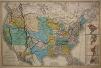
1848M7518Paris: A. Bes & F. Dubreuil Fils c. 1848. Very Good. Folding map flattened and backed acid-free tissue paper for long-term preservation. Two marginal tears repaired expertly. Notes: A scarce large-scale map of the Mexican-American War era and of the entire West. <br><br>To the very north the boundaries of the United States extend well into future British Columbia and within the current states of Washington and Oregon is carved the District of Columbia which was owned by the British. California Arizona and Nevada are together and California's central valley is highlighted for its gold deposits.<br><br>The map is based upon the Eustache Herisson map of the United States 1799 and its major cities. As various publications were made 1826 1834 the map started to take shape. Various projections of the Rocky Mountains were used based off of the Humboldt and Pike projections. Much of the Northwest is based off of the Lewis and Clark expedition. <br><br>This particular map is a scarce and important example as it focuses on the changes brought about by the Mexican-American War. The major differences in this regard are a small inset map of Central America and the delineation of the Mexican-American border; as this map shows all the territory that the United States had captured since the onset of the war. <br><br>Five inset maps depict Mexico and the cities of Washington Boston Philadelphia and New York. Size : 509x662 mm 20.04x26.06 Inches Coloring: Original Hand Coloring Category: Maps United States; A. Bes & F. Dubreuil Fils unknown
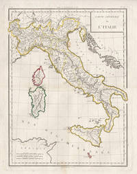
17985441798. Copper-line engraving with later hand-colouring. 450mm by 350mm platemark. French copper-line engraved map of Italy and Sicily with later outline hand-colouring. Published in Paris 1798.<br /> Central horizontal fold as issued. A couple of small stains.Scarce map from Mentelle & Chanlaire's Atlas Universel. etc. The engraving detail is very well executed in the style of other Tardieu maps. unknown
183652355Paris. 1836. Splendid route map of Switzerland showing all routes in detail and the cantons in outline colour. A key to the map at top right is in English German and French. Title at top left engraved in steel. Scales at lower right. La Suisse Pittoresque. Souverain Paris. Copper engraving. The whole map has been laid down on newer paper. Minor marks mainly towards margins but otherwise clean and crisp. Very good condition. Later colour. Size: 68 x 48 cm. unknown
100197aafpubliée par Hipte (Hippolyte) Souvenrain éditeur, Rue des Beaux Arts 3 bis, Paris, 1836, 49.5x66.5 cm, 12 segments montés sur toile, pt. tache d’encre, charnières faibles ou fendues, 1 feuille.
17998682Paris F. Buisson 1799-1804. Two copper engraved maps each 65 x 47 cm engraved by Jean-Baptiste Pierre Tardieu lainé of 385 Rue de Sorbonne; black and white a couple of closed tears old fold lines blank verso. Maps 38 and 39 from the atlas volume of Voyage dans l'intérieur de la Chine et en Tartarie fait dans les années 17921793 et 1794 par Lord Macartney Ambassadeur du Roi d'Angleterre auprès de l'Empereur de Chine the French translation of Sir George Stauntons account of the first British diplomatic mission to China headed by Lord Macartney. The maps cover the route between Guangzhou Canton and Beijing Peking. Map unknown
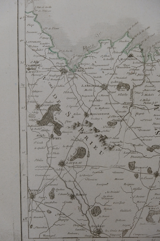
carte7b12Dimension extérieur 45 x 59 et cuvette 33,5 x 44 cm. Carte gravée par P.F Tardieu (17..-18..) autour de 1780-1790 et écrit réalisé par Dubuisson. On peut y voir l’évéché de dol, la manche, la normandie, Rennes... Dans son jus, marque d’une pliure verticale au centre, quelques épidermures et rousseurs mais image en bon état.