399 résultats
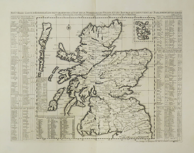
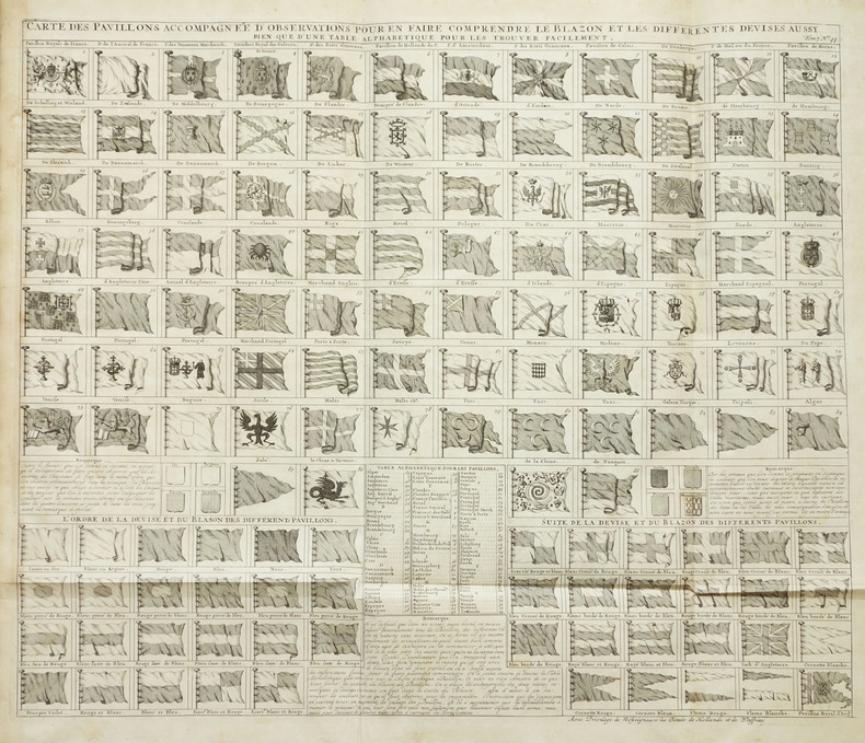
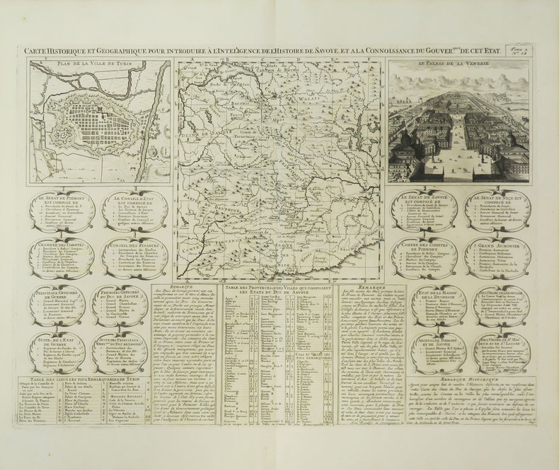
171915804Amsterdam: François L'Honoré & Compagnie Libraries 1719. 483 by 565mm. 19 by 22.25 inches. Double-page engraved map. With an inset of Japan 'Carte du Japon'. Published in the fifth volume of the Chatelain family's 'Atlas historique ou Nouvelle introduction à l'Histoire à la Chronologie & à la Géographie Ancienne et Moderne ' 1719 when eventually extended to 7 volumes. The vignette map is a more traditional representation of Japan than the other that appears in the 'Atlas'. It was probably borrowed from Pieter van der Aa who in turn drew on Sanson's model of 1652. It appears between two large text panels one concerning the death of the Emperor of Japan the other with the Dutch 'Embassy' there in 1644. Zacharie Chatelain d. 1723 was the father of Henri Abraham 1684-1743 and Zacharie Junior 1690-1754. They worked as a partnership publishing the 'Atlas ' under several different Chatelain imprints depending on the Chatelain family partnerships at the time of publication. The atlas was published in seven volumes between 1705 and 1720 with a second edition appearing in 1732. The maps were accompanied by information pertaining to cosmography geography history chronology genealogy topography heraldry and costume of the world. The maps in the "Atlas Historique" were mainly based on those of the French cartographer Guillaume De L'Isle but were presented by the Chatelains in an encyclopaedia form. The accompanying text is in French and often is printed in two columns on the page with maps and other illustrations interspersed. Each map and table is numbered consecutively within its volume and all maps bear the privileges of the States of Holland and West-Friesland. Hubbard 74. François L'Honoré & Compagnie Libraries, unknown
17055584Amsterdam c. 1705. Copper engraved title-page 40 x 24.5 cms black and white as issued blank verso. Engraved for the first volume of Chatelains historical atlas. The classical muses represent Chronology History Navigation and Geography. Atlas braces himself against a crumbling pyramid supporting the heavens while the title of the atlas is suspended on a banner borne by the winged angel of fame. Shirley Courtiers & Cannibals 75. Map unknown
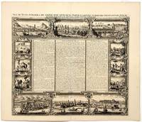
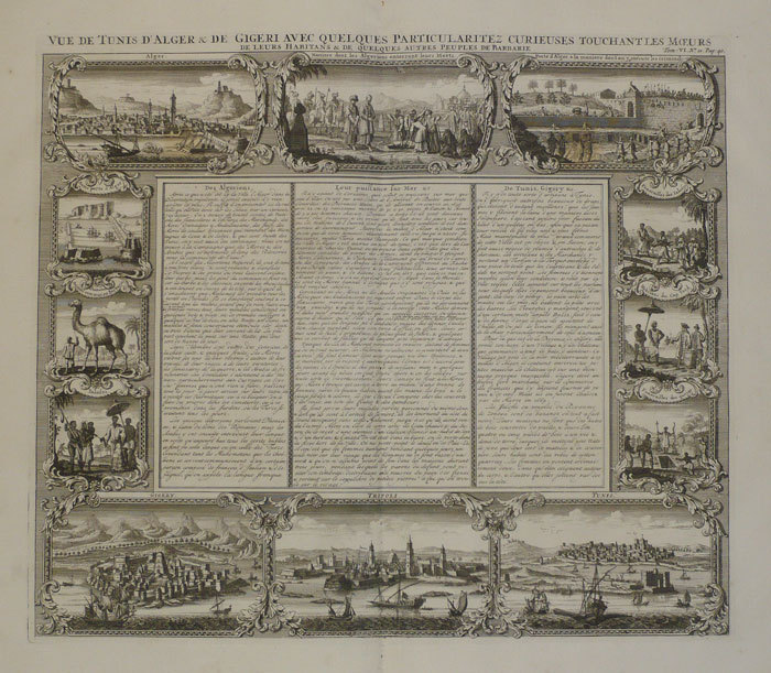
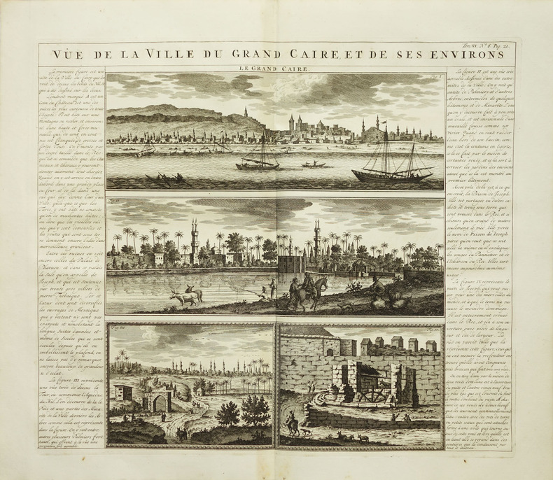
17231687Paris: Châtelain 1723. Copperplate engraving on cream laid paper 15 x 17 1/4 inches 381 x 440 mm; sheet 17 1/4 x 20 1/4 inches 438 x 551 mm full margins. In good condition consistent with age and with a reinforced central crease as issued. An image from volume VI of Châtelain's monumental Atlas Historique with text by the prolific author Nicolas Gueudeville. Châtelain unknown
171925722Amsterdam 1719. Engraving with 8 maps on one sheet. An attractive combination of text and illustration and an important record of the French perception of British holdings in the Americas. This charming plate is typical of the work that makes Chatelain's atlas one of the great works of its era.<br/> <br/>The engraved sheet here combines informative text mostly about Jamaica with small-scale but accurate maps of eight different locations: Barbadoes; New England New York; Bermuda; Jamaica; the Caribbean; the Carolinas with Virginia and Maryland; Maryland Pennsylvania and New England; south east Canada with a part of New England. This charming grouping is characteristic of the marvelous engraving work which distinguishes the Atlas Historique with maps by Chatelain and text by Nicholas Gueudeville.<br/> <br/>JCB 'Archive of Early American Images' record number 12376-2; cf. van Waning "Chatelain's Atlas Historique" in Journal of the International Map Collectors' Society Spring 2010. unknown books
171025803Amsterdam 1710. Copper-engraved map period hand-colouring in outline. Tables upper left and along the right side. Attractive map of North America based upon De L'Isle's highly influential map of North America published in 1700.<br/> <br/>By combining a wealth of information and geographical observation with delicate engraving and an uncomplicated composition this elegant map is a superb example from the golden age of French mapmaking and was published in Chatelain's Atlas Historique an important encyclopaedic historical atlas. California is shown as a peninsula with a number of villages and mountains; the Mississippi River extends far north of its true source. The table along the right side details the various native tribes from each region with lettered references for locating on the map.<br/> <br/>Lowery 263; Phillips 579. unknown books
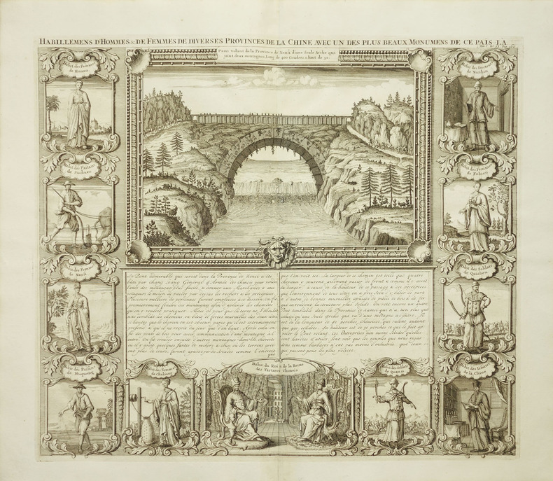
1719225955Amsterdam: Henri Abraham Chatelain 1719. unbound. very good. View. Engraving with hand coloring. Image measures 14 3/4" x 17".<br/><br/> Beautiful double page landscape view of a bridge bordered by eleven examples of Chinese dress from different provinces. The ethnographic studies show various types of people including physicians religious figures royalty soliders farmers and commoners from Hunan Sichuan Shanxi Huqueng Chekiang Tartary Quansi Quicheu Fokien and Nankin regions. French text describes the Xensi province bridge. A few minor creases. Full original margins.<br/><br/> Henri Abraham Chatelain unknown books
1719014625Paris 1719. Map measures 46x40.cm. Map in very good clean condition. . Very Good. unknown
17011401300013London : Printed for Robert Baldwin 1817-01-01. Hardcover. Very Good. 3 volume set. 21 cm. Handsomely bound leather. Gilt ruled blind tooled boards. All edges gilt. Good binding and cover. Marbled end pages. See our pictures. Elton's Classic Poets London : Printed for Robert Baldwin hardcover
1720LBW-1077[Amsterdam, circa 1720]. 377 x 434 mm.
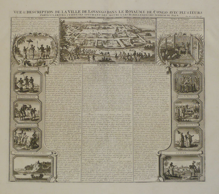
1720LBW-2043Amsterdam, circa 1720. 400 x 512 mm.
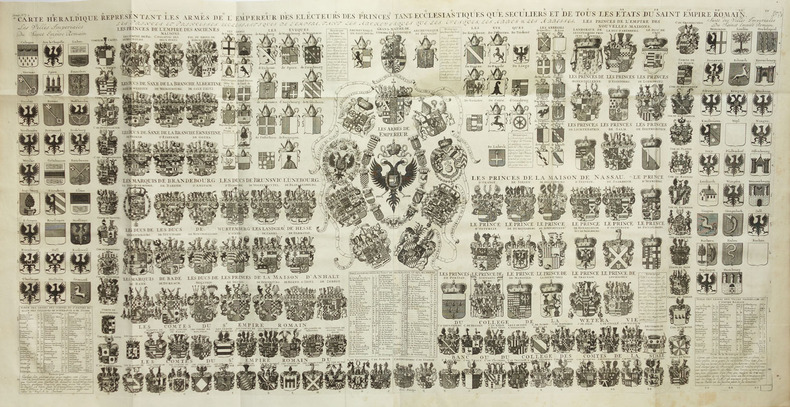
1720LBW-2017Amsterdam, circa 1720. En deux feuilles jointes de 490 x 985 mm.
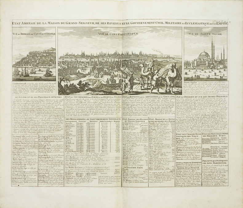
1720LBW-2047Amsterdam, circa 1720. 490 x 598 mm.
1720LBW-1074[Amsterda, circa 1720]. 376 x 431 mm.
1720LBW-2030Amsterdam, circa 1720. 346 x 453 mm.
1708LBW-3521[Amsterdam, 1708]. 354 x 462 mm.
1720LBW-2029Amsterdam, circa 1720. 365 x 430 mm.
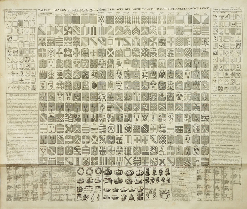
1720LBW-2016Amsterdam, circa 1720. 490 x 585 mm.
1708LBW-3528[Amsterdam, 1708]. 352 x 480 mm.
1705LBW-2033Amsterdam, vers 1705. 390 x 460 mm.
1720LBW-1094Amsterdam circa 1720 465 x 617 mm.
1720LBW-2012Amsterdam, circa 1720. 345 x 447 mm.
1720LBW-2046Amsterdam, circa 1720. 615 x 508 mm.
1708LBW-3452[Amsterdam, 1708]. 497 x 612 mm.
1720LBW-2039Amsterdam, circa 1720. 375 x 430 mm.