BROOKS, Alfred Hulse (1871-1924) et al.MareMagnum

1 282 résultats
Washington, United States Geological Survey, Government Printing Office, 1901. Dos tomos en un volúmen en folio; 1 h., 222 pp. y 22 láminas con mapas, ilustraciones fotográficas y planos estratigráficos, más un gran mapa plegado de la región de Cape Nome, + 94 pp., 5 mapas, dos de ellos plegados y de grandes dimensiones, y 9 láminas fotográficas. Encuadernación de época, en media piel Un hito en el reconocimiento del territorio de Alaska, en la época de la "quimera del oro". Brooks y su equipo fueron los encargados de hacer las más completas investigaciones geológicas y topográficas del territorio comprendido entre el oeste de Fish River hasta el sur de la Península de Seward. Contiene una detallada relación geográfica de asentamientos, distribución y clasificación de yacimientos auríferos, climatología y especies botánicas.
1914GC10-425Washington, DC, Gov. Print. Off, 1914. original Broschur, gr.-8?,413, XI S., XVII Taf. : Ill., Kt. / Bibliothekstempel / bibliotheekstempel / cachet de biblioth?que / librarystamp
197413637Couverture rigide. Reliure de l'éditeur. 184 pages. 22 x 26 cm.
199730005München : Bucher Verlag, 1997. zahlr. farb. Abb., 1 Karte, 216 S. 4°, ill. OPp m. Pappschuber (dieser minimal beschädigt)
2000RS391München, Bucher, 2000. 4°, 216 S., ill. Vorsätze, zahlreiche hauptsächlich farbige Abb., Pappband mit silberfarbener Deckel- und Rückenprägung sowie Originalschutzumschlag. Sehr gut bis gut erhaltene gebundene Ausgabe, minimale Gebrauchsspuren am Schutzumschlag. Gewichtsbedingt Versand als Paket.
199903320München, Frederking und Thaler, 1999. PP, OU, 149S, gutes, sauberes Exemplar
200656856Kosmos, Stuttgart 2006. 152 Seiten mit zahlreichen Abbildungen, 8°, Original-Karton (Softcover), gutes Exemplar,
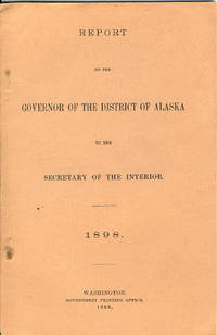
189832865Washington: Government Printing Office 1898. 1898. First edition. 8vo. Salmon-colored printed wrappers 49 pp. map. Large portion of the report deals with more effectually carrying out the law prohibiting the sale of intoxicating liquors in Alaska. Mention is made of a tribe on the Admiralty Island known as the "Hoochinoos" who used to smuggle to the soldiers at Sitka a beverage known as "hoochinoo" and "hooch." "Hooch" was made from a mash of black molasses imported from the Hawaiian Islands. Smuggling and the control of smugglers is of great concern to the law as well as effectively enforcing the laws to protect both saloon keepers and the citizens. The governor further reports on criminal and penal laws land laws population taxable property agricultural development stock raising reindeer fur seals sea otters mining etc. Disasters are included in the report with the mention of the schooner Lady Jane Grey that went down off Cape Flattery with only a few saved. A map of the longitudinal section of workings of the Alaska/Mexican Gold Mine is also present. A fine clean copy. WICKERSHAM 227. Government Printing Office, 1898. unknown
200342442München/Wien, Hanser, 2003. 524 Seiten, 22 x 15 cm, Pappband mit Schutzumschlag.
163p, illus. Hardcover Very good condition Well illustrated from photographs taken during the author's travels
194620346Partitions sur les Animaux Mondia 1946
Mm 175x245 Volume di pp.XV-578 30 tavole in bianco e nero e colore fuori testo e 1 tabella più volte ripiegata, cartonato rigido. Storia Universale dei popoli e delle civiltà. Volume n. VII. SPEDIZIONE IN 24 ORE DALLA CONFERMA DELL'ORDINE. WORLDWIDE DELIVERY
1513261207.Ghardcover. Good. Access codes and supplements are not guaranteed with used items. May be an ex-library book. hardcover
Carta geografica raffigurante il tratto di costa dell'Alaska esplorato dal Capitano Cook durante il suo terzo viaggio a bordo della Resolution il giorno 12 maggio del 1778. Nell'angolo in basso a destra in riquadro graduato particolare della baia di Samgano Odha.Rigobert Bonne (1727-1795) fu uno dei più importanti cartografi del tardo XVIII secolo. Nel 1773 succedette a Jacques Bellin come cartografo reale in Francia.
Folio 165p., illus. Hardcover Very good condition good
256 p., illus. Hardcover Very good condition good
200163835Wesel: Von der Linden 2001. VII, 200 S.: zahlr. Ill., graph. Darst.; 24 x 31 cm Gewebe 0
1977147055Hamburg, Berlin : Parey, 1977. 170 S. : Ill., Kt. ; 22 cm OPappband
Barcelona, Editorial Juventud, 1944. 4to.; 376 pp., Con 36 mapas y 16 láminas fotográficas fuera de texto. Encuadernación original en tela.
Fayard 1933, In-8 broché, 398 pages. Cartes. Bon état.
199241004Seattle WA: University of Washington Press. NF. 1992. Paperback. Paperback in Near Fine condition. . 11 X 8.40 X 0.50 inches. 176 pages. Previous owners bookplate. . Quick Shipping All Books Mailed in Boxes Free Tracking Provided . University of Washington Press paperback
725broché - 14x23 - 398 pp - 1933 - A. FAYARD, Paris.41 cartes dans le texte.
28302Paris, A. Fayard et Cie, 1933. 14 x 22, 399 pp., 36 cartes, broché, bon état.
pp. 114. Black and white illustrations. Features: The U.S. Navy's Battlecruisers - five part article including a history of these vessels, a description of the (CB-1) Class, additional notes on the (CB-1) Class, gunnery notes on the (CB-1) Class, and a photo section; Five-panel fold-out diagrams of the U.S.S. Alaska (CB-1); Photo of the battleship STOCKHOLM, built in 1856 at Karlskrona; The Torpedo Vessels of the Imperial and Royal Austro-Hungarian Navy, 1875 to 1918; and much more. Unmarked with moderate wear. A sound copy of this informative issue. Book
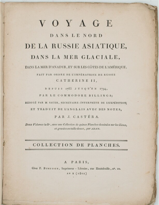
1802PHO-1231Paris, F. Buisson, et Giguen, an X – 1802. In-4, broché ,titre sur le plat Atlas seul contenant 14 planches gravées (vues, costumes) et une carte dépliante du détroit qui sépare l'Asie de l'Amérique. Bon exemplaire.