Schultz PatriciaLivre Rare Book
1 955 résultats
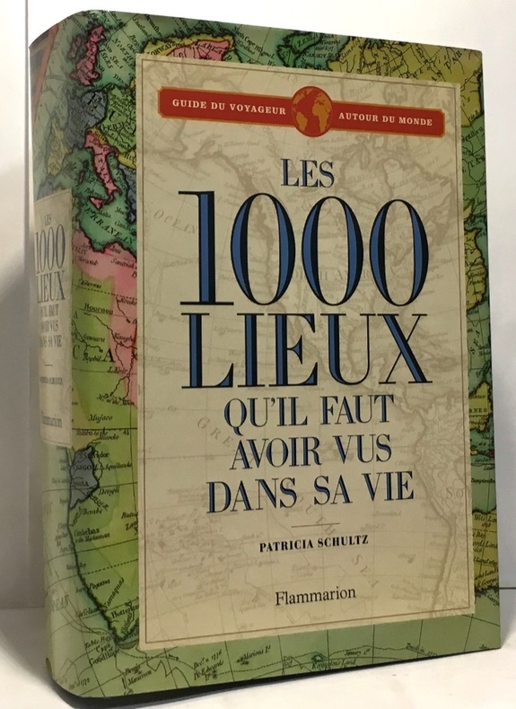
2006100046335Flammarion 2006 973 pages 15x21x6cm. 2006. Relié. 973 pages.
19605069Zürich : Artemis Verl., 1960. o.P., 173 z.T. ganzseitige Farb- u. Schwarzweiss-Aufnahmen, quer-8 (21 x 35 cm), Hldr.oder HLn., Ppbd.
1985100084857Delius klasing 1985 in8. 1985. Relié.
17526264BB1. und 2. Teil in 1 Band (von 2). Halle, Johann Justinus Gebauer, 1752 4°. (48) 688 S. Mit 1 gest. Frontispiz von Schleuen, 1 gest. Vignette, mehreren Holzschnitt-Vignetten, 1 gest. Karte u. 41 gest. Tafeln. Pergamentband der Zeit mit goldgepr. Rückenschild.
17526264BBHalle, Johann Justinus Gebauer, 1752. 4°. (48) 688 S. Mit 1 gest. Frontispiz von Schleuen, 1 gest. Vignette, mehreren Holzschnitt-Vignetten, 1 gest. Karte u. 41 gest. Tafeln. Pergamentband der Zeit mit goldgepr. Rückenschild. + Wichtig: Für unsere Kunden in der EU erfolgt der Versand alle 14 Tage verzollt ab Deutschland / Postbank-Konto in Deutschland vorhanden +, A|B|C|D 1. und 2. Teil in 1 Band (von 2).
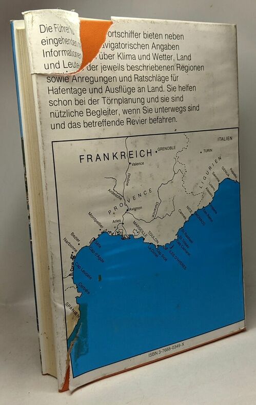
19895367Darmstadt : Habel, o.J. [1989]. 475 S. Kt. 8°. Sonderausg. Ill. OPpbd.
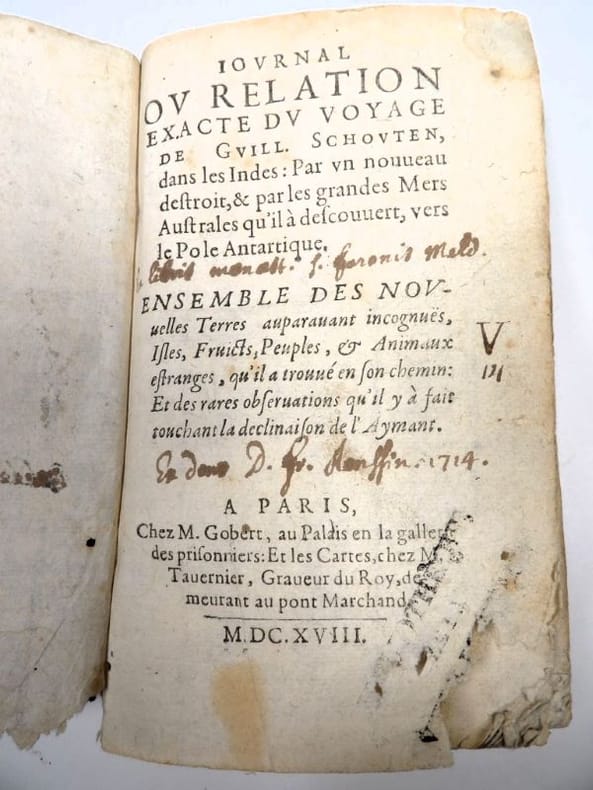
16182417Paris, Gobert (texte) & Tauernier (cartes), 1618. Petit in-8 – 11,5 x 17 cm. Reliure de l’époque en vélin, dos lisse muet. Dans une chemise-étui moderne. 7 ff., 232 pp., 4 pl. Première édition française du récit populaire de Schouten sur son voyage avec Jacob Le Maire à la recherche d’un passage alternatif au détroit de Magellan, qui a été traduit en français, allemand, latin et anglais moins d’un an après la première édition néerlandaise. Le voyage historique de Schouten n’était que le troisième tour du monde, « au cours duquel le Cap Horn fut découvert et contourné pour la première fois » (Hill). Exemplaire orné de 4 planches dépliantes (sur les 8 usuelles) : mappemonde ornée des portraits de Magellan et Schouten, carte du Cap Horn, gravure de l’Ile Horn, carte de la côte de Nouvelle Guinée. Lors d’un voyage, un ancien propriétaire a fait tamponner le dos de l’étui (XXe) au moment de son passage au Cap Horn.
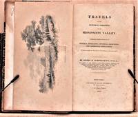
1825W1883New York: Collins and Hannay 1825. 459 pages fold-out map of the "western country" and 3 engraved plates missing is the sketch of the lead mine district. First printing. Octavo. 3/ leather over marbled paper-covered boards. According to Wikipedia Henry Rowe Schoolcraft 1793-1864 was an American geographer geologist and ethnologist noted for his early studies of Native American cultures as well as for his 1832 expedition to the source of the Mississippi River. He is also noted for his major six-volume study of Native Americans published in the 1850s. The book offered here is his report on an 1821 expedition from Missouri through Illinois and Indiana into Michigan. There is heavy emphasis on lead mining in Missouri and on treatymaking with the Chippewa and Potawatomi tribes. Howes S196. Quite scarce. The book is in about very good condition: sympathetically rebacked in gilt-ruled tan leather with new brown leather title patch; clean and tight; foxing throughout; previous owners' names and date on front endpaper. First Edition. Hardcover. Collectible-Very Good. 8vo - over 7¾" - 9¾" tall. Book. Collins and Hannay Hardcover
196025265Berlin, Verlag der Nation, 1960. 3. Auflage 162 Seiten , 25 cm, Leinen
195430253Berlin : Verl. d. Nation, [1954]. 326 S. : Ill. 8°. 5. Aufl. OHLwd. mit ill. Einbd., Kopfbuntschnitt u. SU.
195541417Braunschweig, Qeorg Westermann Verlag, 1955. 148 Seiten , 21 cm, Hardcover/Pappeinband
19629050-0283Graz, Akademische Druck- u. Verlagsanstalt, 1962. Oktav, Org.-Hardcover mit illustr. Org.-SU, XXVII (+ I), 103 S., mit einer Faltkarte und zahlreichen sw-Illustrationen nach alten Kupferstichen, der SU etwas gebräunt und mit leichteren Randläsuren, sonst gut erhaltenes Exemplar. [Frühe Reisen und Seefahrten]. [Frühe Reisen und Seefahrten].
19505778Bern, Aare-Verlag, 1950. 8°, 215 Seiten. mit 76 s/w. Photos auf Tafeln und 1 Karte. Illustrierter Orig.Leinen mit OSU.
20028447-0260Stuttgart u. Wien, Edition Erdmann in K. Thienemanns Verlag, 2002. Oktav, Org.-Ganzleinen mit illustr. Org.-SU, 233 (+ 1) S., 3 Bll., mit einigen Textabbildungen, wohlerhaltenes Exemplar. ISBN 3522600347
198216114BLV, München u.a, 1982. 231 Seiten, OLeinen m. OU; vom Autoren gewidmet und signiert. ("für Gerhard Mayer-Vorfelder* zur Erinnerung an den B..(?)filmabend Ihr Martin Schließler *nach langem Nachdenken - kann ich nun sagen - das Buch ist natürlich auch der angetrauten Frau mit gewidmet."). Zahlreiche s/w-Abbildungen. Der Schutzumschlag verschmutzt. Insgesamt ein gutes Exemplar. Hand signed and dedicated by the author. Rare. Selten. Good copy. Wikipediaauszug: "Gerhard Mayer-Vorfelder (* 3. März 1933 in Mannheim als Gerhard Mayer; ? 17. August 2015 in Stuttgart), häufig auch nur MV genannt, war ein deutscher Sportfunktionär und Politiker der CDU. Er war von 1980 bis 2001 Abgeordneter im Landtag von Baden-Württemberg und von 1980 bis 1991 Kultus- sowie von 1991 bis 1998 Finanzminister des Landes Baden-Württemberg. Von 1975 bis 2000 bekleidete Mayer-Vorfelder das Amt des Präsidenten beim Fußball-Bundesligisten VfB Stuttgart. Anschließend fungierte er von 2001 bis 2006 als Präsident des Deutschen Fußball-Bundes." [2 Warenabbildungen]
190666596Leipzig, R. Voigtländer, 1906. XIV, 496 S. Mit 1 Porträt als Frontispiz u. sehr zahlr. Fotos im Text u. auf Taf. Gr.-8vo (ca. 25,5 x 17,5 cm). OLn. mit VDeckel-Illustr.
59901aafLeipzig, F. A. Brockhaus, 1902, gr. in-8vo, 592 S. + Tafeln + 1 gefaltete Karte, kleiner Legat-Stempel, Original ill. Leinenband, schönes Exemplar.
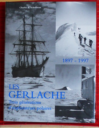
19960281Editions de la Dyle 1996, in-4° relié, cartonnage éditeur toilé, jaquette illustrée, 448 pages. Nombreuses illustrations in et hors texte. Très bel état.
192980659Berlin, Voco-Verlag, 1929. 62 S. Kl.-8° Klein-Oktav, Softcover/Paperback
190908532Berlin, Süsserott, 1909. Ln, 508S, gutes Exemplar
190910580Leipzig, Brockhaus, 1909. XII, 471 S. Gr.-8°. Farbig illustr. Original Leinwand (Rücken etwas fleckig).
190384107Leipzig, F. A. Brockhaus, 1903. XIV, 566 S. Mit 166 Abb. im Text, 28 tls. getönten Taf., 2 gefalt. Panoramen u. 2 gefalt. farb. Ktn. Gr.-8vo. 23,5 cm. OLn. mit mont. VDeckel-Abb.
19034352FBLeipzig, Brockhaus Verlag, 1903. Groß-8°. 24 x 17,5 cm. XIV, 566 Seiten. Kaschierter Original-Leinenband mit montierter Deckelabbildung und grünem Sprengschnitt.
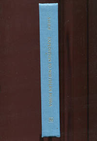
1972018463<p>Richmond UK: The Richmond Publishing Co. Ltd. 1972. Reprint Edition. Hardcover. Fine. 390pp; Turquoise cloth boards with gilt titling to spine boards square clean & bright text unmarked binding is tight foldout frontispiece map as new Fine condition. Facsimile reprint of 1802 publication. The original was titled: An Account of a Geographical and Astronomical Expedition to the Northern Parts of Russia for Ascertaining the Degrees of Latitude and Longitude of the Mouth of the River Kovima; of the Whole Coast of the Tshutski to East Cape; and of the Islands in the Eastern Ocean Stretching to the American Coast. Performed by Commodore Joseph Billings in the Years 1785 &c. to 1794. With illustrations and foldout map.</p> The Richmond Publishing Co. Ltd. hardcover
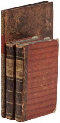
1802E01512 volumes with Atlas. 4xxiv385 pages with xxii-xxiv lists books of voyages available from the publisher; 4418 pages with appendix containing vocabularies of the languages of Yukagir Yakut Tungoose Kamchatka the Aleutian Islands and Kadiak and inex. Atlas with title list of plates 14 engraved plates & large folding engraved map. Text volumes are small octavo 7¾" x 4½" 19th century quarter calf & boards spines tooled in gilt morocco lettering pieces; atlas is quarto 11" x 7½" in period tree calf spine tooled in gilt. Translated by J Castéra. Howes S-117 First French Edition.<br /><br />Martin Sauer was an English civil servant who knew Russian French and German. He became acquainted with Joseph Billings in St Petersburg in the 1780s. He agreed to join Billings expedition as his secretary and interpreter. It was agreed that he would write the official account but there is some controversy about his actives when he returned to St Petersburg in 1794. It has been suggested that he left hurriedly for England with much of the important archival material from the voyage including diaries and secret reports so that he could publish a record of the expedition before Russian authorities and scholars in the Academy of Sciences could review its details. Sauer's <i>An account of the Geographical and Astronomical Expedition to the Northern Parts of Russia</i> was published in London in 1802. It contains an abundance of detail about eastern Siberia and the Aleutian Islands and records the expeditions visits to Kodiak Island Prince William Sound and the coast south as far as Yakutat Bay. <br /><br />The chart was made by Aaron Arrowsmith from Sauer's notes and Billings observations and the whole complements well the other contemporary accounts of the expedition by the cartographer Gavriil Sarychev and the naturalist Carl Heinrich Merck. Aaron Arrowsmith 1750–1823 was an English cartographer engraver and publisher and founding member of the Arrowsmith family of geographers. He moved to Soho Square London from Winston County Durham when about twenty years of age and was employed by John Cary the engraver and William Faden. He became Hydrographer to the Prince of Wales ca. 1810 and subsequently to the King in 1820. In January 1790 he made himself famous by his large chart of the world on Mercator projection. Four years later he published another large map of the world on the globular projection with a companion volume of explanation.<br /><br /><b>Condition:</b><br /><br />Some rubbing and wear to coves of both atlas and text volumes some chipping to spine ends small gouge at back of atlas and stamp to front end paper else in very good condition. Chez F Buisson hardcover books