MareMagnum

1 365 résultats
In-8 p., tela edit., pp. XIX,659, illustrato f.t. - come da Indice - da una importante documentazione iconografica in b.n. e da numer. mappe (ripieg.), oltre a una grande carta geografica a colori relativa all’Iraq, Arabia e Persia, posta in una tasca al risg. posteriore. Vi si tratta “Geology and physical geography - Climate and vegetation - History - Administration (Saudi Arabia. Yemen, Colony of Aden, Aden Protectorate) - The people - Public health and disease - Agriculture - Economic geography - Ports and towns (Red Sea ports of Arabia, of the South coast; inland towns of Yemen and of the Aden protectorate). Con una mportante bibliografia al fine. Alla prefazione “This volume was produced and printed for official purposes during the war 1939-45”. Ben conservato.
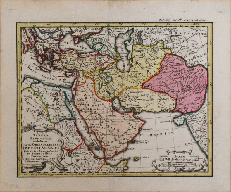
Piccola carta geografica dell'Impero Turco con Arabia, Persia, Grecia e parte dell'Africa nord orientale disegnata dal Bucelino. Questa fa parte di una serie di trenta piccole carte che il King, nel suo volume "Miniature Antique Maps", definisce "...scarce maps." e con ogni probabilità incise da Melchior Kusell. Testo al verso
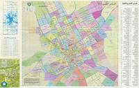
63286Saudi Arabia: The Department of Labeling and Numbering in the Municipality of Riyadh City 1998. Original colour-printed map of Greater Riyadh 60 x 95 cm verso printed with three additional maps of the city proper including one of the Arab League Square. Text in Arabic. Generally a very good copy. Includes colour-coded keys and numerous indices detailing the neighbourhoods names of public squares embassies streets and roads etc. Saudi Arabia: The Department of Labeling and Numbering in the Municipality of Riyadh City, 1998. unknown
261 loose plates in publisher's protective case in half cloth (as published), 27cm., in the series "Bibliothèque du Muséon" volume 50, the 261 plates depict thousands of inscriptions in bl/w copied during the expedition in Arabia led by Philby Ryckmans and Lippens in 1951-1952, Not listed in OCLC, very rare, fine condition, weight is over 2kg. (extra shipping charges might apply), X92329
1962X92329Louvain, Publications Universitaires/ Institut Orientaliste s.d. [1962] 261 loose plates in publisher's protective case in half cloth (as published), 27cm., in the series "Bibliothèque du Muséon" volume 50, the 261 plates depict thousands of inscriptions in bl/w copied during the expedition in Arabia led by Philby Ryckmans and Lippens in 1951-1952, Not listed in OCLC, very rare, fine condition, weight is over 2kg. (extra shipping charges might apply), X92329
In 8, p. VIII - 552, con una grande carta colorata più volte ripiegata (130 x 95 cm), leg. coeva in mz. pl. con nervi e doppio tass. al dorso. Ediz. orig.
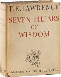
193553460Garden City: Doubleday Doran & Company 1935. First Edition. First printing American issue from British sheets with 1935 date on title page and first edition statement on verso. Quarto buckram boards stamped in gilt on spine and front cover; dustjacket; 672pp; illus. Previous owner's signature to front free endpaper dated 1935; slight toning and foxing to prelims else Near Fine in a lightly soiled dustwrapper with a few shallow chips to extremities Very Good with $5.00 printed price on front flap. Internally fresh and unmarked. <br/><br/>An attractive copy of Lawrence's best-known work and basis for David Lean's 1962 film epic "Lawrence of Arabia" a memoir of the Arab Revolt against the Ottoman Turks of 1916-1918. This is the first commercially published edition though there was a strictly limited "Subscriber's Edition" 200 copies ten years earlier. Doubleday, Doran & Company unknown books
8vo., First Edition, with frontispiece, 103 plates on 60 and 3 maps (one double-page) in the text, top very lightly spotted; green cloth, gilt back, a near fine copy in price-clipped dustwrapper. Thesiger's second book. The Marsh Arabs occupy the region around the junction of the Tigris and Euphrates in southern Iraq. This classic account, recording eight years spent living among them, is a worthy sequel to his masterpiece 'Arabian Sands'.
Very Good English In very aesthetic modern cloth bdg. 4to. (28 x 21 cm). In German. [xvi], 209, [52] p., 52 p. numerous b/w plates. Bis zur osmanischen Eroberung war in Iznik die türkische Herrschaft immer nur von kurzer Dauer, selbst von der seldschukischen Periode haben wir nur für eine verhältnismäßig kurze Zeit sichere Kunde. Hier waren es die Byzantiner selbst, die den seldschukischen Truppen eine friedliche Einahme der Stadt ermöglichten. Etwa um 1078, also noch vor der Machtergreifung Alexis I. (1081-1118), dürfen wir mit der Besetzung Izniks durch die Seldschuken rechnen, die als Alliirte des aufständischen byzantinischen Heerführers Nikephoros Botaniates unter der Führung Suleimáns und Mansúrs, Söhne des Qutulmis, kampflos in die Stadt einzogen.
16 pages. Plus a title page and two colour maps in one sheet. Original condition with blue wrappers, titles to front, and containing all the ads. This is a complete issue, seldom found in such good and original condition. Fascinating narrative of the Lieut. Smith's journey to Mpuemu and the Rovuma as well as his exploration in the Shimba country, accompanied by the itinerary of his travels and two colour route maps, showing his journey from Kilwa to Lindi, and his travel route from Tanga to Kilindini, near Mombasa. The purpose of Smith's travel was to provide information on the slave-trade, to encourage the development of commerce, and to assist the native authorities. After receiving the status of Vice-Consul from John Kirk, Smith was stationed at Kilwa Kivinji on May 1884, from where he made his first journey towards Mpuemu and the Rovuma, in which he interacts with the people of the Muta district who according to him sell their children for food, sighted a caravan of 10 to 15 slaves about 30 miles from Kilwa, and met two slave women who had escaped and traveled with him briefly. In his second journey, Smith explores the Shimba country and provides vivid and very detailed description of the natives.
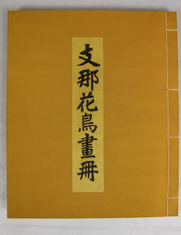
1926137101Kyoto, Benrido 1926 In folio 37 x 31, reliure à la japonnaise posterieure, étiquette de titre conservé, 6 pp. & 71 planches de reproductions en noir sous serpente légendée.
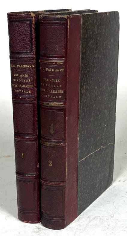
1866142197Paris, L. Hachette 1866 2 volumes. XVI-346-429 pp., 4 plans, 1 carte et 1 portrait, table des matières, table méthodique, table des gravures.
10835Paris, Hachette, 1882, 1 br., dos cassé, exemplaire à relier. in-8, f.t., frontispice, titre, LXVIII-447 pp., 1 carte dépliante, 60 gravures sur bois dessinées par G. Vuillier d'aprés les aquarelles de Lady Anne Blunt et un tableau généalogique des émirs du Nedjed ;
1 57x46,5 cm., ampi margini, confini ben evidenziati a colori, i in glese, carta ben realizzata e ben conservata.
9639Contes arabes traduits par GALLAND. Revus et corrigés sur l’édition de 1704. Augmentés d’une dissertation sur les mille et une nuits par le Baron Sylvestre de SACY Forts in 8 reliure demi-cuir vert époque, titre, filets dorés. Titre illustré, frontispice en sépia par WATTIER, titre orné d’une vignette, VIII, 1106 pages, illustrations hors-texte et dans le texte par MM. FRANÇAIS, H de BARON, Ed. WATTIER LAVILLE etc. .Rousseurs éparse, plus fortes ou concentrées en début et fin de volume, ainsi qu’aux pages 1099 à 1016. paris Garnier Frères, libraires-éditeurs, sans date. Bon exemplaire
185787834Librairie de L. Hachette 1857 In-16. Reliure demi-percaline vert foncé, dos lisse orné de filts à froid, VII-310 pp. Reliure légèrement frottée.
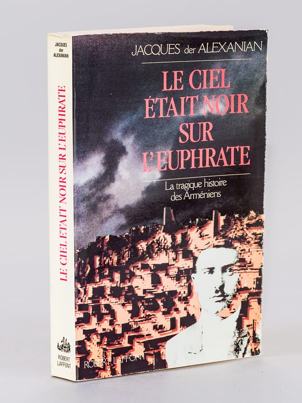
1988681131 vol. in-8 br., Robert Laffont, Paris, 1988, 384 pp.
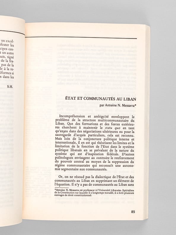
19866388112 numéros en 11 vol. in-8 br., Les Cahiers de l'Orient (N° 1, 2, 3, 4 6, 7, 8-9, 10, 11, 12, 13 : Du premier trimestre 1986 au premier trimestre 1989, sans le premier trimestre 1987)
Carta geografica, antica ed originale, inserita nell'opera "Géographie Moderne, Historique et Politique" edita a Parigi nel 1790 con direzione di Louis Charles Desnos Ingegnere e Cartografo per i Globi e le Sfere. La carta, con coloritura coeva ai confini, presenta ai lati la descrizione dell'analisi applicata editorialmente
In 8vo; pp.230. Esemplare a fogli chiusi su carta pesante. Edizione a tiraggio limitato, copia n. 89 di 300 firmata dall'autore. Cart. editoriale, sovraccoperta cremisi, titolo in nero al piatto anteriore. Edizione originale. McDonald B10; Woolf A24.
français In-8 de XXIII-298 pp.; broché de l'époque (couverture d'attente). Intérieur agréable malgré des traces de mouillure, sans gravité, persistant sur le premier tiers de l'ouvrage. Tome I seul. Peu courant.
1746LBW-33181746. 168 x 212 mm.
18959115EBLeipzig, Druck und Verlag von Philipp Reclam jun., [1895]. Klein-8°. 14,5 x 10,5 cm. Ca. 4800 Seiten. Illustrierte grüne Original-Leinenbände mit silbergeprägten Rücken- und Deckeltiteln sowie marmorierten Schnitten.
1872155751872. Paris L'Univers Pittoresque Firmin Didot Frères 1872 - Cartonnage moderne factice 15 cm x 23 5 cm 255+ 215+ 215 pages bien complet des 76 gravures et plans (1 double) qui ont été reliés à la suite - Textes de Jean-Joseph Marcel Amédée Ryme et MM. P. et H.- Rousseurs sinon bon état