WOODARD (David), VAUGHAN (William)Livre Rare Book
263 résultats
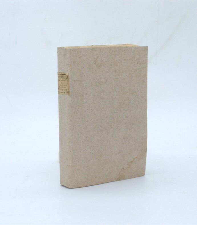
1805PHO-2404Paris, F. Buisson, 1805. In-8 (21,5x13cm),2ff.-322pp., brochage d’attente, couverture papier gris muette moderne, pièce de titre imprimée au dos, non rogné.
190010698Saint-Cloud, Imprimerie Belin Frères, 1900 ; in-8, broché ; 202, (2) pp., 44 planches hors-texte, dont 3 à doubles pages et 3 grands plans dépliants (gares de Paris, de Villeneuve-Saint-Georges et de Marseille).
18350034381835 Paris, Imprimerie Royale, 1835. In-8 (141 X 217) demi-veau brun, dos lisse orné de deux chainettes et d'un triple filet dorés en place des nerfs, petit fleuron doré dans les compartiments, auteur et titre dorés sur le premier plat (reliure de l'époque) ; 51 pages (dont titre), carte dépliante, 16 pages, (1) f. de table, (1) f. blanc, un tableau dépliant. Déchirure sans manque aux cartes.
181555781New York: Printed for Edmund M. Blunt Oct. 1815. 8vo. xvi 297 86 pp. plus 2 pp. publisher’s ads. Woodcut-engraved front of the Blunt New York Shop 9 of 15 maps & charts 1 w/ partial loss several w/ additional sailing instructions and printed notices pasted-in manuscript sailing instructions and notes on versos of some. Original calf spine & calf on rear cover perished shaken dampstaining & toning still fair reference copy from the library of Captain Thomas Hall II 1804-1829 son of Captain Thomas Hall 1778-1816 who was lost at sea while sailing from Charleston to Boston in Feb. 1829 which his brother Charles Hall 1810-1829 ownership markings on endpapers of both w/ manuscript note on verso of ffep. that this is “good for a pint of ale†facing clippings about new lighthouses ca. 1821 listing the Ten Pound Island stone tower light house first built on the site in 1821. Preserved in brick-coloured linen cloth clamshell slipcase w/ printed label on spine. Eighth edition of this early vital tool for American sea captains and navigators first published in a much shorter version of only 122 pp. in 1796 and the first edition to bear only Edmund Blunt’s name as author. The original commissioned from Captain Lawrence Furlong proved so crude and unusable that Blunt arranged for it to be edited and rewritten. Blunt’s Coast Pilots were the earliest works of their type published in North America to cover the Atlantic Coast of the U.S. with sailing directions tide tables tables of latitudes and longitudes and as this copy shows were often working evolving documents with additional manuscript annotations and printed additions including in this case the Charleston Harbour map which is not included in the binding instructions and supposedly left out of the 8th edition. Printed for Edmund M. Blunt, hardcover
1895936Chigny, Marne Manuscrit inédit 1895 In-8 - 12 x 19 cm. Reliure cartonnée en vélin, tranches rouges, titre, date et nom de l'auteur à l'encre, tranches rouges, papier ligné. (1 f.) ; 280 pp.
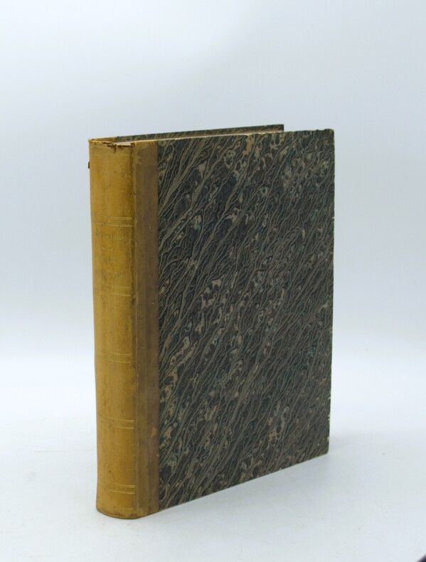
1832LRB031003In-8° très bon état, reliure époque, dos long, roulette en tête et queue, coiffe de tête arasée, demi veau vert légèrement insolé. Rousseurs éparses XII-361 p. - 1 ff°
183711777Luzern, Eglin, 1837. Kl.-8°. Mit lithogr. Titel m. kl. Vignette (Raddampfer), einer gefalt. kolor. lithogr. Karte, einem mehrf. gefalt. lithogr. Panorama u. 36 lithogr. Tafeln (Ansichten). 76 S., Beids. lithogr. illustr. OPpbd. (Luzern bzw. Raddampfer).
182546404975, [vers 1825] ; 20,6 x 25,2 cm., Placard ou prospectus sur papier vergé pour une compagnie anglaise de paquebots transmanche. Elle est illustré d’un bandeau sur bois montrant le vapeur Earl Liverpool. Sous l’illustration et le titre figure un tableau des départs de Calais, le prix de la traversée, pour une grande chambre, celle d’avant, le tarif pour les enfants, les voitures, le chevaux et les chiens, suivis de diverses recommandations pour les voyageurs. Le steamer Lord Meleville fut construit en 1821-22 et équipé d’un moteur produit par l’usine Butterly iron works près de Newcastle. Le Earl Liverpool fut mis en service à la même époque, en 1847 il connut une grave avarie, l’explosion de la chaudière ayant causé la mort de deux membres d’équipage.Au dos de l’affiche, 2 timbres humides À timbrer à l’extraord - département du Nord avec un blason fleurdelisé et un second cachet avec fleur de lys et couronne de 2 centimes. Fente sans manque réparée au bas de la feuille.
1824PHO-2094Paris, Librairie de Gide Fils, 1824, In-8 (210x130mm),299 pp.- 1f., relié demi basane époque, dos lisse avec titre, tranches jaunes, illustré d’une carte repliée en couleurs (déchirure au pli), légers frottements, .
1839331758London: Smith Elder and Co 1839. Softcover. Good. First edition. Octavo. Disbound. 49pp. folding map. Lacking wrappers; title page and folding map detached from sewing; good. A scarce report establishes an early point for the English empire’s interest in establishing a steam boat line in India and the methods by which they proposed to go about doing so. Commercial manufacturers and various merchants from Manchester Liverpool and India were enlisted to support the proposal and the report outlines navigational routes estimations of cost and the enthusiasm of changing maritime trading methods up and down the Ganges. The idea for an East India Inland Steam Navigation Company apparently began percolating in 1837 and this report fits nicely within the small pantheon of material devoted to this literature. Not in OCLC. One copy found at the British Library. Smith, Elder and Co unknown
1882130Washington D.C.: 1882. 32 plates in full color. Very good with light wear. hardcover books
188621051886 Librairie Hachette, Paris,1886. In-4 demi-chagrin. 399 pages, 99 gravures sur bois, portrait de Bonaparte-Wyse en frontispice, 2 grandes cartes en couleurs rempliées, un tableau synoptique
186115232Paris, Imprimerie administrative de Paul Dupont, 1861 et 1862. 2 forts vol. au format in-4 (268 x 213 mm) de xlviii - 612 et xxxiv pp. ; vii - 700 et xii pp. Reliures uniformes de demi-basane glacée émeraude, dos lisses ornés de quadruples filets dorés, titre doré, tomaison dorée, toutes tranches mouchetées.
184041654Paris ca. 1840. Folio. 36x25 cm. Contemp. hcalf. Spine gilt but somewhat rubbed. 264 pp. numerous illustrations in margins and in the text. 2 folded maps. The text is handwritten and reproduced with an etching technique probably zinkography. Internally clean and fine. unknown
184041654(Paris ca. 1840). Folio. (36x25 cm.). Contemp. hcalf. Spine gilt, but somewhat rubbed. 264 pp., numerous illustrations in margins and in the text., 2 folded maps. The text is handwritten and reproduced with an etching technique, probably zinkography. Internally clean and fine.
18261171Paris, Imprimerie royale, 1826 ; in-8 broché de 418 pp., couverture d’attente bleu gris, monogramme LL calligraphié à l’encre sur le premier plat.
1842PHO-1056Paris, Imprimerie royale, 1842. In-4 de viii p., 493 p., [1] f. d’errata et 12 pl. dépl. de vues de profils des côtes. Cartonnage éditeur. Première édition sur un beau papier de l’imprimerie royale (Papier déchiré sur les mors, cart. frotté et taché , qlqes rousseurs sur les plans). (Polak, 3941.)
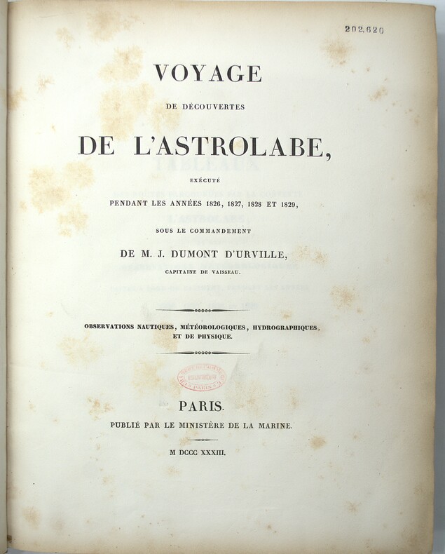
1833PHO-2138Paris : Ministère de la marine, 1833-34. In-4, cartonnage papier marbré, dos lisse, tranches mouchetées (reliure de l'époque). Usures au cartonnage (coins, coiffes, frottements, etc…) Rousseurs, cachet au titre.
189322201893 Librairie Ch. Delagrave, Paris, sans date (1893). In-folio, pleine percaline. 3 feuillets, 8 cartes rempliées montées sur onglet. Cartes générales des Services Français, et des Services Etrangers; carte Méditerranée et Mer Noiire; carte Asie, Océanie et Côtes d'Afrique; carte Europe Occidentale; carte Antilles et Mexique. En annexe Câbles sous-marins (lignes télégraphiques), et Lignes téléphoniques Internationales
18471008098vo slate blue cloth stamped in gilt and blind illustrated with frontispiece and folding charts viii 21 429 3 24 pp.Wear to spine ends spine faded small splits to joints hinges cracked copious nautical notes to endpapers slight aging but text and charts are generally clean and unworn; about very good. This is rare first edition of what is known as "The Atlantic Navigator" which includes detailed sailing instructions for the North and South Atlantic. Includes ten folding charts and much of the text is from various captains and navigators familiar the routes contained in this work. The first numbered section of 21 pages is an 1847 supplement and the catalogue at the rear is dated 1851. Sabin noting 2300 only an 1854 fourth edition. James Imray,
18471008098vo slate blue cloth stamped in gilt and blind illustrated with frontispiece and folding charts viii 21 429 3 24 pp.Wear to spine ends spine faded small splits to joints hinges cracked copious nautical notes to endpapers slight aging but text and charts are generally clean and unworn; about very good. This is rare first edition of what is known as "The Atlantic Navigator" which includes detailed sailing instructions for the North and South Atlantic. Includes ten folding charts and much of the text is from various captains and navigators familiar the routes contained in this work. The first numbered section of 21 pages is an 1847 supplement and the catalogue at the rear is dated 1851. Sabin noting 2300 only an 1854 fourth edition. James Imray, books
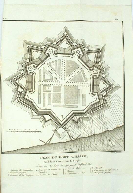
1801PHO-1972Paris, Dentu, an IX (1801); Atlas seul, in-4 (33x24,5cm),composé de 7 planches gravées dépliantes dont une grande vue de la citadelle de Calcutta et un plan du Fort William.. Bel exemplaire, relié basane époque, roulette aux plats et à l’intérieur, tranches dorées, manque au dos, coins usés, intérieur frais.
1837PHO-2143Paris, Arthus Bertrand, 1837, 1 volume (3) grand in-4° (30x24,5cm), VIII pp., 742 pp., demi basane époque, dos lisse avec auteur, titre et tomaison, frottements au dos, quelques rousseurs, défaut à la coiffe sup., de la bibliothèque de Cayrol avec son cachet et signature manuscrite.
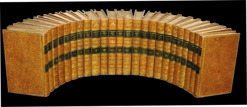
182031213A Paris, chez Etienne Ledoux / de l'Imprimerie de Crapelet, 1820. 24 vol. vol. au format in-8 (213 x 135 mm) de xxviii - 463 pp. ; 2 ff. n.fol. et 496 pp. ; 2 ff. n.fol., 496 pp., 1 f. n.fol. et 1 f. bl. ; 2 ff. n.fol., 480 pp. et 1 f. n.fol. ; 2 ff. n.fol., 474 pp. et 1 f. n.fol. ; 2 ff. n.fol. et 435 pp. ; 2 ff. n.fol. et 473 pp. ; 2 ff. n.fol. et 475 pp. ; 2 ff. n.fol., 586 pp. et 1 f. n.fol. ; 2 ff. n.fol., 496 pp., 1 f. n.fol. et 1 f. bl. ; 2 ff n.fol., 508 pp. et 1 f. n.fol. ; 2 ff. n.fol. et 383 pp. ; 2 ff. n.fol. et 520 pp. ; 2 ff. n.fol. et 523 pp. ; 2 ff. n.fol. et 415 pp. ; 2 ff. n.fol. et 473 pp. ; 2 ff. n.fol. et 471 pp. ; 2 ff. n.fol., 488 pp. et 1 f. n.fol. ; 2 ff. n.fol., 378 pp. et 1 f. n.fol. ; 2 ff. n.fol, 429 pp. et 1 f. bl. ; 2 ff. n.fol. et 399 pp. ; 2 ff. n.fol. et 363 pp. ; 2 ff. n.fol. et 379 pp. ; 2 ff. n.fol., 346 pp. et 1 f. n.fol. Reliures uniformes de l'époque de pleine basane glacée et granitée fauve, filet, filet en pointillés et dentelle dorée encadrant les plats, dos lisses ornés de filets gras à froid, jeu de petits filets obliques dorés formant filets, roulettes dorées, larges fleurons romantiques dorés, pièces de titre et de tomaison de maroquin émeraude, titre doré, tomaison dorée, palette dorée en queue, filet doré sur les coupes, tranches jaspées.