Rümker, C. (Carl)Antiquariat.de

260 résultats
1857SB-16616Hamburg, Perthes-Besser & Mauke, 1857. Sechste, mit stereotypirten Tafeln versehene Auflage XII, 372, XII, 546 S. Brauner Original-Ganzlederband mit goldgeprägtem Schiffsmotiv auf dem Vorderdeckel und dreiseitigem Blauschnitt. Einschlägiges Hand- und Lehrbuch der Schiffahrtskunde und nautischen Astronomie des Astronomen Carl Rümker (1788 -1862). Nach einer Lehrtätigkeit an der Hamburger Navigationsschule übernahm Rümker 1821 in Parramatta die Leitung der ersten australischen Sternwarte. Nach Deutschland zurückgekehrt, nahm er 1830 die ihm angetragene Direktorenstelle an der Hamburger Sternwarte an und kehrte zugleich, diesmal als Direktor, an die Navigationsschule zurück. Rümker gilt als einer der fähigsten Astronomen seiner Zeit. Er trat unter anderem durch Erstellung umfangreicher Sternkataloge mit über 7.000 bzw. 12.000 Sternpositionen hervor. Ein Berg auf dem Mond ("Mons Rümker") ist nach ihm benannt. Gliederung des Werkes: Trigonometrie - Steuermanns-Kunde - Astronomische Vorkenntnisse - Sphärische Astronomie - Astronomische Schiffs-Rechnung. Mit Kompaß-Illustration als Frontispiz, zahlreichen Textillustrationen sowie XLIV (jeweils mehrseitigen) nautischen Tafeln. Ferner mit folgenden Karten im Anhang: Ansicht eines Schiffes mit Erklärung der Takelage (mehrfach ausfaltbar); Allgemeine See-Karte (Weltkarte) 1849 (mehrfach ausfaltbar); Karte der Nordsee und des englischen Kanales (mehrfach ausfaltbar); Karte der magnetischen Meridiane und Parallelkreise mit den isogonischen Linien für 1830 (mehrfach ausfaltbar); Nördliche Hemisphäre (ausfaltbar); Südliche Hemisphäre (ausfaltbar).
18509326Perthes-Besser & Mauke, Hamburg 1850. X, 326 u. XIV, 395 S. mit 1 Kompaß-Tafel, 2 Seekarten, 2 Sternkarten u. 1 Meridiankarte. Leder der Zeit. Gebrsp. Beschabt, Ecken bestoßen, Leder hinten mit Fehlstellen u. Wurmspuren. Rücken etw. beschädigt. Teils stockfleckig, hinteres Innengelenk locker.
1864Q3088Oldenburg, Verlag der Schulzeschen Buchhandlung, 1864. Ganzleinen, großes 8°, 403 S., mit zahlr. Abbildungen im Text, Inhalt: Arithmetik - Ebene Geometrie - Spärische trigonometrie - die gewöhnliche Schiffsrechnung - Die astronomische Schiffsrechnung
184920441Paris L. MAISON 1849 in-18 pleine percale un guide, reliure pleine percale bleu marine in-18 cartonnage illustré Editeur (hard-back percale in-18 editor) (10 x 14,5 cm), à plaques spéciales editeur or et à froid pour le dos et les plats, titre frappé or sur le dos et au premier plat, toutes tranches lisses (all edges smoothes), orné d'une grande carte dépliante des routes de france en noir insérée dans la garde en fin de volume + 1 grande Carte Spéciale dépliante hors-texte en couleurs des Chemins de Fer et de la Navigation à Vapeur, en tout début d'ouvrage, 660 Pages + 2 p. de Tarif de la Poste aux Chevaux, 1849 à Paris L. MAISON Editeur des GUIDES-RICHARD Editeur,
185317111853 Imp. Jean-Matthieu Douladoure, Toulouse, 1853. In-8 broché. (viii), 216 pages. Frontispice gravé(portrait de Riquet), planche du monument à Riquet, 2 cartes dépliantes
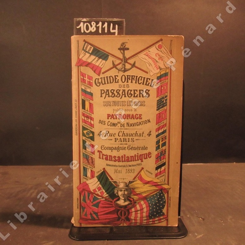
18931081141893 A Paris, Compagnie Générale Transatlantique - 1893 - In-8, broché, couverture illustrée en couleurs - 312 p. - Quelques illustrations, reproductions photographiques et cartes en N&B
1874230371874 Arthus Bertrand, Éditeur H. H. , Paris,fort IN8 broché,4 planches ht dépliantes, 2 cartes dépliantes : mappemonde et Manche texte frais ,catalogue editeur daté 1874
1898V80072Paris, Challamel 1898 x + 564pp.illustré de 170 figures dans le texte + quelques planches hors-texte en couleurs, reliure toile d'éditeur (peu usé), 16cm., bon état, V80072
1868285943Washington: Government Printing Office 1868. Soft Cover. Very Good binding. The Bureau of Navigation Navy Department's booklet General Instructions for Hydrographic Surveyors. Dampstaining to the bottom edge of the second half of the textblock. Writing in ink on the front wrapper. Engraved plate of "Brooke's Deep Sea Sounding Apparatus" at the rear. Blue printed paper wrappers. Very Good. 62 pp. Very Good binding. Government Printing Office unknown books
1868285943Washington: Government Printing Office 1868. Soft Cover. Very Good binding. The Bureau of Navigation Navy Department's booklet General Instructions for Hydrographic Surveyors. Dampstaining to the bottom edge of the second half of the textblock. Writing in ink on the front wrapper. Engraved plate of "Brooke's Deep Sea Sounding Apparatus" at the rear. Blue printed paper wrappers. Very Good. 62 pp. Very Good binding. Government Printing Office unknown
188740498N.p.: N.p. 1887. Paperback. 8vo. Self-cover. 7pp. Very good. Outer wrappers faintly soiled and mildly edgeworn. Probable sole edition of this bibliographically-cryptic pamphlet presenting the case of Lefferts W. Lloyd Catherine W. Mitchell and Samuel F. Engs each the administrator of the estate of a deceased versus the United States in this "French Spoliation Claim" -- claims made by U.S. citizens against France Holland and Spain for ships and goods seized by privateers prior to September 30 1800 at ports controlled by those countries -- a rather sizeable and definitely bizarre category of strange maritime documents with claims made by descendants into the 20th century. This particular claim involves John and Abraham Franklin and their ship "Hunter" commanded by William Whitlock. In 1798 she sailed from New York headed for France and then China but was captured by a Spanish and then a French privateer -- it all gets hairy and convoluted but in the end the ship and goods were damaged and the descendants seek $75000 in damages. N.p. paperback
1882130Washington D.C.: 1882. 32 plates in full color. Very good with light wear. hardcover books
1874GITj949Marseille Typographie et Lithographie Cayer et Cie 1874. In-4 broché, 2e plat de la couverture illustré 158p, 1 feuillet non chiffré de table. Titre imprimé en rouge et en noir, texte orné de lettrines, bandeaux et culs de lampe, 2 têtes de chapitre, 8 illustrations hors texte (5 beaux portraits dont celui de Ferdinand de Lesseps en frontispice et 3 vues). Dos brisé avec manque de papier, bordure des plats de la couverture froissée avec petits manques et coupures, quelques rares et pâles rousseurs. Exemplaire complet, imprimé sur beau papier.
18970005133New York: Harper & Brothers 1897. First American edition. Hardcover. Good. 16 color plates 120 photogravures 4 folding maps in pockets. Quartos green cloth Vol. 1 torn at head of spine inked 1897 inscriptions on blank pages. <br/><br/>In the space of 280 years previous to 1893 the combined efforts of all the Arctic expeditions succeeded only in travelling 150 miles nearer the Pole. Dr. Nansen in three years penetrated 200 miles beyond the farthest point then reached. Originally published at $10. Publisher's advance prospectus in front pocket. 16 color plates 120 photogravures 4 folding maps in pockets. Bennett PRACTICAL GUIDE TO AMERICAN NINETEENTH CENTURY COLOR PLATE BOOKS p.82 - "The 16 colored plates are on a par with all the rest of this fine and honest and permanent work.". One of his aims was to explore arctic ocean currents. Nansen was awarded the Nobel Peace Prize in 1922. PRINTING AND THE MIND OF MAN 384; Arctic Bibliography 11983. Preceded by the Danish edition in 1897. 120 photogravures 4 folding maps in pockets. Harper & Brothers hardcover
189838015Hamburg. Kunstverlag Karl Gerhold. (1898). Künstlerpostkarte No. 19. 9x14 cm (Gelaufen 1902; mit beschriebenem kleinen Textfeld auf der Vorderseite oben rechts).
1863RES9L127Paris Dunod 1863 In8 Sans l'Atlas - 707 pages - demi basane - solide mais trés usagé - 1 coin cassé - coiffes et coins fortement frottés - mouillures sur les 30 premieres et dernières pages - ensemble trés defraichi mais solide - 205 figures dans le texte
1863RES9L127Paris Dunod 1863 In8 Sans l'Atlas - 707 pages - demi basane - solide mais trés usagé - 1 coin cassé - coiffes et coins fortement frottés - mouillures sur les 30 premieres et dernières pages - ensemble trés defraichi mais solide - 205 figures dans le texte
190010698Saint-Cloud, Imprimerie Belin Frères, 1900 ; in-8, broché ; 202, (2) pp., 44 planches hors-texte, dont 3 à doubles pages et 3 grands plans dépliants (gares de Paris, de Villeneuve-Saint-Georges et de Marseille).
1895936Chigny, Marne Manuscrit inédit 1895 In-8 - 12 x 19 cm. Reliure cartonnée en vélin, tranches rouges, titre, date et nom de l'auteur à l'encre, tranches rouges, papier ligné. (1 f.) ; 280 pp.
189810585In Annales des Ponts et Chaussées 1898, daté de Chaumont, le 15 mars 1898 ; in-8, broché ; pp.93-153, couverture verte muette, 1 planche hors-texte dépliante et 4 figures à pleine page.
182280501822 Imprimerie F. Poisson, Caen, 1822. Une plaquette in-4 de 8 pages. Rares rousseurs, bon état.
1881V39487Saint-Brieuc (L.Prud'Homme) 1880-1881. 8°, Halbleder der Zeit mit zwei roten Lederschildern auf Rücken (Hardcover), 1
1842ABE-10090086969444 PAGES FORMAT IN 8-DE "N" A "PAYSAGE"-EXPLICATION DES PLANCHES EN FIN D'OUVRAGE-11 PLANCHES: MONNAIE (3), MOULINS (4), MUSIQUE (ANCIENS INSTRUMENTS DE), NAVIRES (CONSTRUCTION DES)(3), NAVIGATION-DOS CASSE AVEC MANQUES-INTERIEUR PROPRE-EN GRANDE PARTIE NON COUPE
1895P83401Paris, L.Bataille et cie. 1895 808pp., illustré de 126 figures dans le texte, 25cm., reliure cart. (plats marbrés, qqs.petits manques de papier marbré, dos en cuir noir avec titre et fleurons dorés), feuilles de garde marbrées, peu de rousseurs, bon état, [Contenu: I.Hygiène militaire: Hygiène militaire en général, Recrutement, Habitation du soldat, Alimentation du soldat, Vêtement et équipement du soldat, Propreté du corps et du linge de corps, De l'éducation militaire, Prophylaxie hygiénique des principales maladies du soldat, Hygiène du champ de bataille, II.Hygiène navale: Le navire, L'équipage, La mer et l'atmosphère maritime], P83401
1890227151890 Brest Autographie EVAIN,Ecole Navale 1890, 2 titres reliés en un volume in 4 Reliure basane noire,dos à filets dorés, ,dos leg.frotté. Volumes autographiés. Bon état. Nbr. schémas.240+259 P.