260 résultats
187355613Washington, Government Printing Office, 1873. Royal8vo. Orig. full calf. Gilt boders and gilt lettering on covers. Gilt spine. Lithographed frontispiece in colour. XVI,107,203,26,8 pp., 3 lithographed colourplates (one large folded).
187355613Washington Government Printing Office 1873. Royal8vo. Orig. full calf. Gilt boders and gilt lettering on covers. Gilt spine. Lithographed frontispiece in colour. XVI107203268 pp. 3 lithographed colourplates one large folded. unknown
180755849Philadelphia: Published by B.B. Hopkins and Co. and sold by W.P. Farrand No. 170 Printed by T. & G. Palmer 1807. 8vo. xxiii 1 270; 271-275 1 40 16 15-16 17-220 4 pp. including binders instructions and publisher’s advertisement. With 7 copper-engraved plates & maps 6 engraved by Benjamin Tanner. Contemporary polished brown calf red & gilt morocco spine label chipping to head of spine minor edgewear occasional interior foxing & toning still a VG- copy from the library of John L. Gow 1797-1866 noted Pennsylvania attorney w/ ownership label and markings on front pastedown. First American edition of this classic navigation handbook which was first published in 1804 and here contained substantial corrections to the tables of the latitudes and longitudes of places on the American coast and in the West Indies as well as an improved system of finding the longitude by P. Delamar of Philadelphia. Mackay 1760-1809 was noted Scottish mathematician and astronomer taught navigation and instructed in methods of how to find longitude. Shoemaker 12965. Published by B.B. Hopkins and Co., and sold by W.P. Farrand, No. 170, Printed by T. & G. Palmer, unknown
181555781New York: Printed for Edmund M. Blunt Oct. 1815. 8vo. xvi 297 86 pp. plus 2 pp. publisher’s ads. Woodcut-engraved front of the Blunt New York Shop 9 of 15 maps & charts 1 w/ partial loss several w/ additional sailing instructions and printed notices pasted-in manuscript sailing instructions and notes on versos of some. Original calf spine & calf on rear cover perished shaken dampstaining & toning still fair reference copy from the library of Captain Thomas Hall II 1804-1829 son of Captain Thomas Hall 1778-1816 who was lost at sea while sailing from Charleston to Boston in Feb. 1829 which his brother Charles Hall 1810-1829 ownership markings on endpapers of both w/ manuscript note on verso of ffep. that this is “good for a pint of ale†facing clippings about new lighthouses ca. 1821 listing the Ten Pound Island stone tower light house first built on the site in 1821. Preserved in brick-coloured linen cloth clamshell slipcase w/ printed label on spine. Eighth edition of this early vital tool for American sea captains and navigators first published in a much shorter version of only 122 pp. in 1796 and the first edition to bear only Edmund Blunt’s name as author. The original commissioned from Captain Lawrence Furlong proved so crude and unusable that Blunt arranged for it to be edited and rewritten. Blunt’s Coast Pilots were the earliest works of their type published in North America to cover the Atlantic Coast of the U.S. with sailing directions tide tables tables of latitudes and longitudes and as this copy shows were often working evolving documents with additional manuscript annotations and printed additions including in this case the Charleston Harbour map which is not included in the binding instructions and supposedly left out of the 8th edition. Printed for Edmund M. Blunt, hardcover
18261171Paris, Imprimerie royale, 1826 ; in-8 broché de 418 pp., couverture d’attente bleu gris, monogramme LL calligraphié à l’encre sur le premier plat.
181539889Lisbon: Simao Thaddeo 1815. hardcover. very good. 144pp. 8vo. Lisbon 1813. Second Edition. BOUND WITH: Taboa da Declinacao do Sol ao Meio Dia no Meridiano da Cidade de Lisboa . IV 64pp. 8vo full leather. Lisbon 1815. Scarce. Very good.<br/><br/> Tables of latitude and longitude for marine navigation.<br/><br/> Simao Thaddeo unknown books
181539889Lisbon: Simao Thaddeo 1815. hardcover. very good. 144pp. 8vo. Lisbon 1813. Second Edition. BOUND WITH: Taboa da Declinacao do Sol ao Meio Dia no Meridiano da Cidade de Lisboa . IV 64pp. 8vo full leather. Lisbon 1815. Scarce. Very good.<br/> <br/> Tables of latitude and longitude for marine navigation.<br/> <br/> Simao Thaddeo unknown
1898xf2Augustin Challamel Relié 1898 "In-4 (17,7 x 27,2 cm), reliue demi-parchemin, dos lisse, pièce de titre, 266 pages, titre complet : ""Tables des azimuts du soleil, de la lune et de tous les astres (planètes, étoiles) dont la déclinaison est comprise entre 30° sud et 30° nord pour les latitudes du navire variant de 61° sud à 61° nord, suivies de tables de déclinaisons et d'ascensions droites des principales étoiles"" ; reliure abîmée (salissures sur le parchemin, manques de papier reliure aux plats, coupes usées), par ailleurs intérieur bien conservé, état moyen. Livraison a domicile (La Poste) ou en Mondial Relay sur simple demande."
187838742Brazil 1878. Broadside. A few small holes affecting a few letters some folds reinforced on verso additions in manuscript. 20 3/4x29 inches. The Companhia Nacional de Navegação a Vapor replaced the Companhia Brasileira de Navegação a Vapor as the government sponsored line along the southern route in 1872. Montevidio was the furthest stop of this important Brazilian shipping company from which it also provided river service to upper Brazil. The broadside contains a listing of the rates of passage from Rio de Janeiro to Montevideo as well as the limitations and restrictions for passengers which included a prohibition on weapons and flammable materials. unknown books
187838742Brazil 1878. A few small holes affecting a few letters some folds reinforced on verso additions in manuscript. Broadside. 20 3/4x29 inches. The Companhia Nacional de Navegação a Vapor replaced the Companhia Brasileira de Navegação a Vapor as the government sponsored line along the southern route in 1872. Montevidio was the furthest stop of this important Brazilian shipping company from which it also provided river service to upper Brazil. The broadside contains a listing of the rates of passage from Rio de Janeiro to Montevideo as well as the limitations and restrictions for passengers which included a prohibition on weapons and flammable materials. unknown
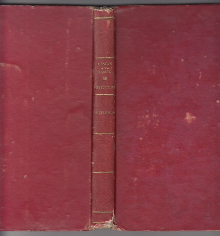
1824246601824 A Paris, : chez Barrois, libraire, rue de Seine, N° 10, Faubourg Saint-Germain., M. DCCC. XXIII.-[1824](De l'imprimerie de Moreau et Suwerinck, rue Neuve-Du-Temple, N° 20, Bordeaux);IN 8 cartonné rouge,dos lisse titré, -[208-[8] p., II (2) f. de pl. dépl. (schémas)Ill. gr.s.c.in 8 - sans la page de titre particulière pour le supplément (1824)
188721061887 Editions "Librairie Nouvelle", Paris, 1887. 2 volumes in-8 brochés. 551, 768 pages
188438574Washington DC: Govenment Printing Office 1884. First edition. Hardcover. Good. 8 3/4 x 9 3/4 inches. 412 pages.Green Cloth as issued. Condition is Good Very light wear to spine ends and edges rear cover lightly soiled very light foxing on endpapers a few light stains on text pages a few pages at the beginning are loose but present binding is tight. STK Govenment Printing Office hardcover
1888142418Kiel, Oktober 1888. 4 Seiten. Mit einer großformatigen Abbildungen. (Gebrauchsspuren).
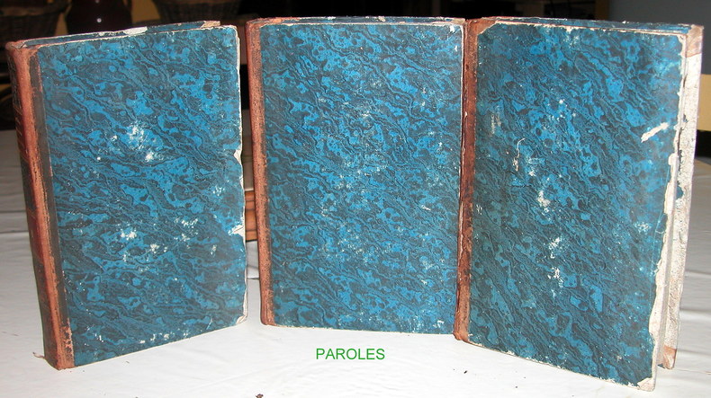
183215538Paris, Librairie de Charles Gosselin, 1832 3 volumes In-8° (12,7 x 20,6cm) Reliure d'époque demi-basane; dos lisses avec pièces d'auteur et de tomaison rouges et roulettes dorées; papier de couvrure des plats et gardes marbrés à dominante bleue; tranches mouchetées en bleu. Vol.1: XX + 392p., 2 feuillets; Vol.2: 1 faux-titre, 1 titre, 395p., 2 feuillets; Vol.3: 1 faux-titre, 1 titre, 508p.; 1frontispice dans chaque volume. Défauts aux reliures: ornements des dos en partie effacés et petits manques aux pièces de tomaison, peau fendue le long de la charnière supérieure du 3è volume, papier de couvrure des plats fendu le long des bords avec manque au plat du dessous du 3è volume; rousseurs.
183615941836 Imp. Marius Olive, Marseille, 1836. In-8 broché, vignette en couverture. 323, (iv) pages
1878z015738London: Russian Steam Navigation and Trading Company/ George Russell and Co 1878. Very Good. Letter from George Russell on Russian Steam Navigation and Trading Company letterhead to James M. Lincoln of the Pacific Mail Steamship Co. New York. The letter details the chaos to company affairs caused by the Russo-Turkish war 1877-78. Measures 8.5 by 10.5 inches recto only. Very good. Light chipping to extremities stain to top corner light creasing. Otherwise clean and unmarked. Russian Steam Navigation and Trading Company/ George Russell and Co unknown
1896fl1476London, George Bell and Sons The All-England Series Cartonnage d'éditeur 1896 Rare. In-8 (11.7 x 17 cm), cartonnage toilé, 115 pages, texte anglais, illustrations en noir in-texte ; coiffes et coins frottés, taches rouges au 4ème plat, des marques d'usage à la couverture, petite déchirure sans manque à la 1ère garde, par ailleurs intérieur frais, assez bon état. Livraison a domicile (La Poste) ou en Mondial Relay sur simple demande.
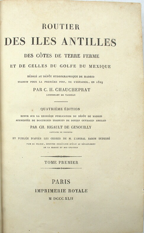
1842PHO-2031Paris, Imprimerie Royale, 1842, 2 volumes in-8 (23x15cm), 1f.-XXII-595pp. & XVI-581pp., demi veau époque, dos lisse avec titre et tomaison, frottements et épidermures, débuts de fentes, accrocs aux coiffes, coins usés, quelques rousseurs.
186326524Paris Bureau de la Revue des Deux Mondes 1863 -in-8 demi-Maroquin un fort volume, reliure demi-maroquin cerise grand in-octavo à coins (binding half morocco with corners), reliure d'époque signée "PETIT" successeur de "SIMIER", dos 4 nerfs (spine with raised bands) décoré "or" et à froid (gilt and blind stamping decoration), titre et tomaison frappés "or" (gilt title and volume numbering) dans un encadrement d'un double filet fin "or", triple filets fins "or" en place des nerfs avec un filet à froid de part et d'autre des nerfs, plats décorés or (gilt decoration on the cover) avec 3 filets fins "or" aux mors et aux coins (joints and corners with three gilt line), papier marbré aux plats (cover with marbled paper), toutes tranches lisses (all edges smoothes) peignées (painting edges) rouge et bleu, sans illustrations (nop illustration), 1008 pages, 1863 Paris Bureau de la Revue des Deux Mondes Editeur,
183880771[Hamburg], [ca. 1838]. Bildgröße: 12,5 x 19,8 cm (=Hamburgs Vergangenheit in bildlichen Darstellungen, Bl. 45 der Oktavausgabe). Unter Passepartout. Im Mahagonirahmen.
1839331758London: Smith Elder and Co 1839. Softcover. Good. First edition. Octavo. Disbound. 49pp. folding map. Lacking wrappers; title page and folding map detached from sewing; good. A scarce report establishes an early point for the English empire’s interest in establishing a steam boat line in India and the methods by which they proposed to go about doing so. Commercial manufacturers and various merchants from Manchester Liverpool and India were enlisted to support the proposal and the report outlines navigational routes estimations of cost and the enthusiasm of changing maritime trading methods up and down the Ganges. The idea for an East India Inland Steam Navigation Company apparently began percolating in 1837 and this report fits nicely within the small pantheon of material devoted to this literature. Not in OCLC. One copy found at the British Library. Smith, Elder and Co unknown
1805PHO-2404Paris, F. Buisson, 1805. In-8 (21,5x13cm),2ff.-322pp., brochage d’attente, couverture papier gris muette moderne, pièce de titre imprimée au dos, non rogné.
1832LRB031003In-8° très bon état, reliure époque, dos long, roulette en tête et queue, coiffe de tête arasée, demi veau vert légèrement insolé. Rousseurs éparses XII-361 p. - 1 ff°
1820xl2016A Paris, de l'imprimerie royale Broché 1820 In-4 (20 x 25,5 cm), broché, 75 pages, très belle carte de la navigation intérieure de la France en couleur ; mors fendus, manque sur le dos, bords des plats frottés, par ailleurs intérieur très frais, état correct. Livraison a domicile (La Poste) ou en Mondial Relay sur simple demande.