1 883 résultats
1992dk1435Economica Etudes d'histoire maritime Broché 1992 In-8 (15,5 x 24 cm), broché, 224 pages, tome 3 seul ; ex-libris tamponné, par ailleurs très bon état général. Livraison a domicile (La Poste) ou en Mondial Relay sur simple demande.
1974wa63Sélection du Reader's digest Cartonné avec jaquette 1974 In-4 (24 x 31,4 cm), cartonné avec jaquette, 311 pages, iconographie en couleurs ; frottements et marques d'usage sur les bords de la jaquette, par ailleurs assez bel état. Livraison a domicile (La Poste) ou en Mondial Relay sur simple demande.
1991dz953Clef Revue 1991 In-4 (16 x 27 cm), revue dos carré collé, 142 pages ; petites pliures au dos, couverture défraîchie, par ailleurs assez bon état. Livraison a domicile (La Poste) ou en Mondial Relay sur simple demande.
1983xl3198Clef Revue 1983 In-4 (16 x 27 cm), revue dos carré collé, 106 pages ; mors et coiffes un peu frottés, un coin corné, bon état. Livraison a domicile (La Poste) ou en Mondial Relay sur simple demande.
20082622008 - cartonné - Editions Taschen - 2008 - In-folio (32 x 24,5 cm) cartonné sous jaquette illustrée de l'éditeur - 298 pages - Très nombreuses photographies en couleurs - Ouvrage trilingue en français, anglais et allemand - "New Seaside Interiors" - Ouvrage collectif sous la direction de Angelika Taschen - Textes de Ian PHILLIPS
199816640Omnibus, 1998. In-8 broché, 1096 pages, excellent état.
1370470Paris: UNESCO, 1980 in-8, 203 pages. Bibliographie. Reliure basane rouge, bon état.
19651132981965 Edité par la Marine Nationale et la Ville de Paris - 1965 - In-8, broché, couverture illustrée - 497 p. - Très nombreuses illustrations in et hors texte en N&B
1980100148154Hachette 1980 775 pages in12. 1980. Cartonné. 775 pages.
19561179471956 Paris, Imprimerie Nationale - 1956 - Grand in-8, broché - 28 pages
20111258122011 Surya éditions - 2011 - In-4, broché, couverture illustrée - 286 pages
198888956Paris, 1988, in-8, 255pp, broché, Très bel exemplaire! 255pp
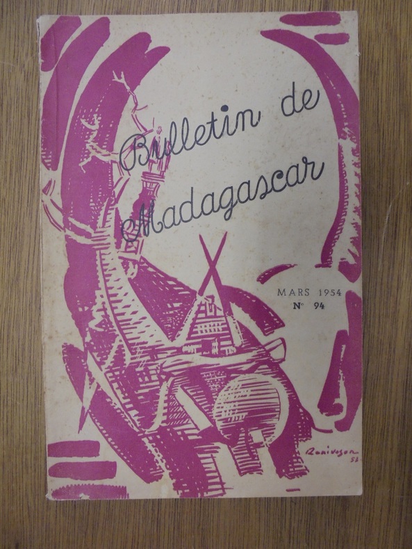
OCE207MTANANARIVE, IMPRIMERIE OFFICIELLE, 1954. In-8 (156 x 245mm) broché, paginé de 97 à 192. Couverture convenable. Intérieur bon. Exemplaire satisfaisant
OCE206MTANANARIVE, IMPRIMERIE OFFICIELLE, 1954. In-8 (156 x 245mm) broché, paginé de 195 à 287. Intérieur bon. Couverture épidermée. Légère déchirure de la coiffe de tête. Agréable exemplaire
OCE205MTANANARIVE, IMPRIMERIE OFFICIELLE, 1954. In-8 (156 x 245mm) broché, paginé de 483 à 575. Intérieur agréable. Épidermure et ex-libris manuscrit sur couverture. Volume émoussé mais convenable
65482Coll. "Savoir Cuisiner Créole", La Réunion, 1996, pt. in-8 étroit, cartonnage couv. photos coul. éd., 114 pp., papier glacé, très nb. photos coul., Table des recettes, Toute la cuisine de l'Île Maurice et de l'Océan Indien à votre portée ! Des fiches "techniques" pour ne pas rater ces délicieuses recettes exotiques. Pas courant Très bon état
67127Coll. "Les Nations", Paris, éd. Girard et Barrère, S.d. (début des années 40), carton souple, pt. in-8, couv. texte en noir sur fond vert clair éd., la carte dépliée fait 85 x 65 cm et elle est coul., au centre de la carte le nom de la carte en noir sur fond blanc et dans un médaillon avec filets en noir, la carte principale est en 1/48 000 000 avec une légende en coul. des différentes possessions, différentes cartes des îles en différentes échelles, une inscription au bic sur la première de couv., Maison d'éditions cartographiques née en 1934, elle prit la suite des productions de Henry Barrère (1890-1930) et de P.H. Barrère (1931-1933). Fonctionna entre 1946 et 1959 avec la raison sociale GIRARD, BARRERE ET THOMAS. Fut reprise en 1974 par les CARTES TARIDE. Continua de se spécialiser dans les documents scolaires, notamment dans les cartes murales.Très belle carte de l'Océan Pacifique et des principales îles. Plusieurs dates sont signalées (1926 - 1943 - 1944 …) mais aucunes avec précision ! Malgré son état, elle semble Rare et mérite donc une restauration ! Bon état général mais avec des pliures, des déchirures mais rien de grave !
New English Paperback. Roy. 8vo. (24 x 17 cm). Proceedings in Englissh, Turkish, and German. [xvi], 369 p., ills. Dursun Ali Akbulut: Ilkcag'da Sogdia ve Baktria ile Hindistan iliskileri Mehmet Tezcan: Kusanlar, Akhunlar ve Eftalitler Erdogan Mercil: Gazneliler ve Hindistan Enver Konukcu: Hindistan'daki Turk Devletleri A. R. Khan: Matrix of Autobiography: Some Observations on Babur's Memoirs N. R. Farooqi: Mughal India And The Ottoman Empire: A Study in Early Modern Diplomacy And Diplomatic Procedure Salim Cohce: Turk Istiklal Mucadelesi ve Hindistan Sahabi Ahmad: Turkish Caliphate And The Response of Nationalist Muslim Leadership in The Early Phase of Indian Freedom Struggle Suhash Chakravarty: He Dreamt And Fashioned Reality: Jawaharlal Nehru, a Statesman And a Nation Builder Akhtarul Wasey: Turkey And Evolution of Indian Culture Esin Kahya: Ilkcagda Hindistan - Turk Dusuncesi Arasindaki Iliskileri M. Hanefi Palabiyik: Hint Dinleri ve Islam/li> Fikret Turkmen: Hint - Turk Folklor Etkilesimi Ali Fuat Bilkan: Hindistan Kutuphanelerindeki Turkce El Yazmalari ve Hindistan'da Turkce
New English Paperback. Pbo. 8vo. (22 x 15 cm). Articles bilingual in English and Turkish. 6 volumes set: (317 p.; 232 p.; 325 p.; 225 p.; 225 p.; 267 p.). Contents (selected): The Global Significance of Unesco's Commemoration of the Piri Reis World Map of 1513., Yasemin DOBRA MANCO.; The First Steps of Ottoman Maritime Cartography Isolar II Before Piri Reis., Dimitris LOUPIS.; The Piri Reis Map of 1513 is Important Because., Prof. Dr. Gregory C. MCINTOSH.; Kitab-i Bahriye: A Landmark in Geographical and Nautical Literature., Prof. Dr. Azza Abdelrahman El SAWY.; Ottoman Maritime Activity in the Arabian Gulf in the Sixteenth Century Through the Book Bahriye by Piri Reis., Dr. Hisam Swadi Hashim Al KARKOULEE.; The Northern Coast of Sinai and Geographic and Archaeological Features Between Damietta and Gaza in Light of the Piri Reis Maps 'A Study in Historical Geography and Antiquities'., Sami Saleh Abd AL-MALIK.; Ottoman Naval Preparations During The Period Of Selim's Egyptian Campaign of 1515 To 1518: An Assessment of the Planning, Execution and Aftermath Phases of The Ottoman Conquest of Syria And Egypt., Prof. Dr. Rhoads MURPHEY.; The Battle of Preveza and The Siege of Diu., Dr. Svat SOUCEK., The Turks in the Mediterranean: The Expedition of Khair-Ed-Din Barbarossa (1543-1544)., Mirella Vera MAFRICI.; Murâd Bey, Seydî Alî Reîs and He Warfare Against The Portuguese (1553-1554): New Insights on Original Iberian Accounts., Prof. Dr. Dejanirah COUTO.; Ottoman Ambitions on Tripoli and Lybia in The First Half of The XVI Century., Nicola MELIS.; Lepanto: Fearlessness Was Not Enough., Prof. Marco MORIN.; Ottoman Corsairs in The Atlantic During The 16th Century: Murat Rais, The Albanian and the First Ottoman Expedition to The Canary Islands., Ardian MUHAJ.; Russian and Ottoman Empires Maritime Politics and Russian-Turkish Relations in 1774-1787., Prof . Dr. Galina GREBENSHCHIKOVA.; The Activities of Maltese Corsairs in Ottoman Waters and Territories, 1750-1798., Liam GAUCI.; Reading Between The Lines: Admiral Ushakov's Relations with Kapudane Abdülkadir Beg According to Russian and Ottoman Sources., Dr. Mitia FRUMIN- Assist. Prof. Kahraman SAKUL.; Role and Place of The Balkan Entente in The European Space. Negotiations. Turkish-Romanian Cooperation. Straits Issue., Lecturer, Ionut COJOCARU-Assist. Prof. Ema MILJKOVIC.; Patronage In The Ottoman Navy During The Late 15Th and 16Th Centuries., Instructor Christine Isom-VERHAAREN.; Aspects Of The Venice - Ottoman Peaceful Coexistence: Muslim Merchant Ships Used To Transport Goods From Istanbul To Venice During The Late Sixteenth Century Associate Professor Cristian LUCA.; The Most North Port Ottoman Kemal Ibrahimzade., Irina GUSACH.; Commercial Consuls of The Ottoman Subjects In The Ionian Islands, (16Th-18Th Centuries) Historian - Researcher., Christina E. PAPAKOSTA.; Merchants, Warriors, Nobles: The Turks And India, 16Th - Early 18Th Centuries., Associate Professor Radhika SESHAN.; Trade and Politics Between Naples, Sicily and The Ottoman Empire During The Kingdom Of Charles Of Bourbon (1734-1759)., Senior Lecturer Salvatore BOTTARI.; The Ottoman Fleet And The Greek Revolution in The Correspondence Of The British Consuls in Morea (1821-1827)., Contract Professor Rosa Maria DELLI QUADRI.; The Knowledge of The Seas According to The Ottoman Translations and Adaptations of Arabic Works (15 Th -16Th C.)., Director of Studies Ducène Jean-CHARLES.; Maritime Law and Maritime Space in The Indian Ocean: A Comparison Of Ottoman and Portuguese Concepts in The Sixteenth Century., Emeritus Professor Michael PEARSON.
Signed by author to title page. No other marks or inscriptions. No creasing to covers or to spine. A lovely clean very tight copy with bright unmarked boards and no bumping to corners. 344pp. A haunting tale of three women in a prison cell for two on a tropical island in the Indian Ocean, their stories, recipes and the seeds of rebellion.
1908769Doin , Bibliothèque d'océanographie physique Malicorne sur Sarthe, 72, Pays de la Loire, France 1908 Book condition, Etat : Bon broché In-12 1 vol. - 320 pages
1925000328Amsterdam Société d'édition "Elsevier" 1925
24 pages. Features: WSP (U.S.) Conference of 1969; The Kennedy Family Passion Play; That Reformer Fellow, President Nixon; That High Cost of Living; "Reparations" Vs. World Socialism; N.D.P. Shell Game - Ed Schreyer assumes leadership of the Manitoba N.D.P.; Historic Words Live Long After Tragedy - "Bill" Pritchard, one of eight men tried in connection with the famous Winnipeg general strike of 1919, speaks again; Those Halls of Montezuma - looking back on Aztec history, and myths which surround it; Marx and the American Civil War; Do Loose Lips Sink Ships? - fascinating article claims German U-boats were had fore-knowledge of targets by gleaning information from European reinsurance companies who underwrote the risk of ocean shipments; Passing of Jeni "Chubbi" Kligman; and more. Average wear. Unmarked. A sound vintage copy. Book
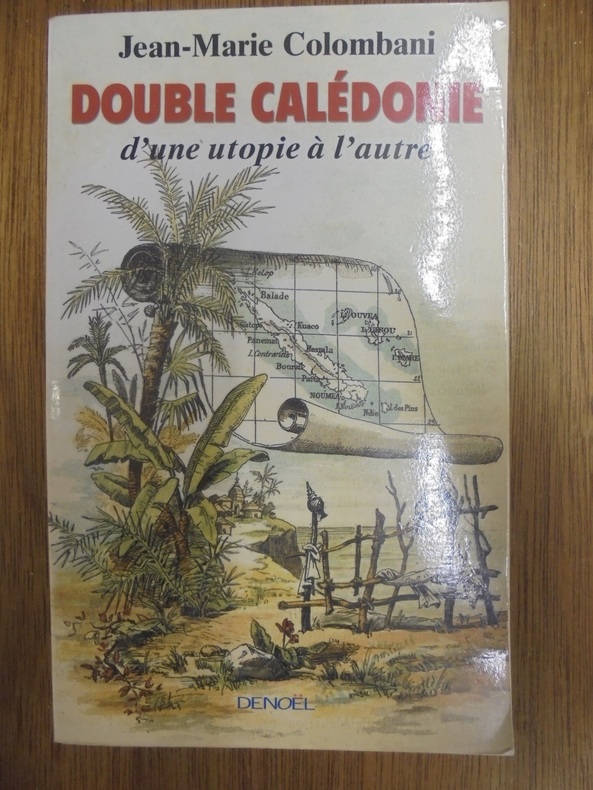
OCE111MParis. 1999. Denoël. In-8, broché, 266pp. dont une carte. Agréable exemplaire
Seconda Edizione riveduta ed aumentata, illustrata con carta geografica - Vol. unico 1 16x10 cm., in brossura, foto dell'A. in copertina e in antiporta, pp. 128, non refilate, carta geografica dell'itinerario ripiegata, in fine, seconda edizione, in italiano, piccole tracce d'uso, ma buon esemplare.