443 résultats
1881EL414861881 297 p., blue half cloth, author/title in gilt on spine. Published in: Proceedings of the Linnean Society of New South Wales. Old one-sided photocopy. Library stamp and ex libris of A. Diakonoff. PHOTOCOPY!
1870ML280721870 3 p., 1 lithographed plate, disbound (no covers). Published in: Proceedings of the Zoological Society of London.We added from the same journal: Cox, 1870. Descriptions of Seventeen New Species of Land Shells from the South-Sea Islands, in the Cabinet of Mr. John Brazier of Sydney (5 p.).
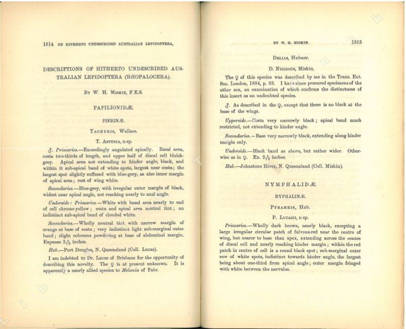
1889EL312081889 Proceedings of the Linnean Society of New South Wales, 3(4), 1889 : in-8, broché extrait, pp. 1514-1520, couverture muette d'attente. Très bon état, mais dérelié, car faisait partie d'une reliure de plusieurs articles !
1890EL323501890 Proceedings of the Linnean Society of New South Wales, vol. V, 1890 : in-8, broché extrait, pp. 29-43, couverture muette d'attente. Très bon état, mais dérelié, car faisait partie d'une reliure de plusieurs articles !
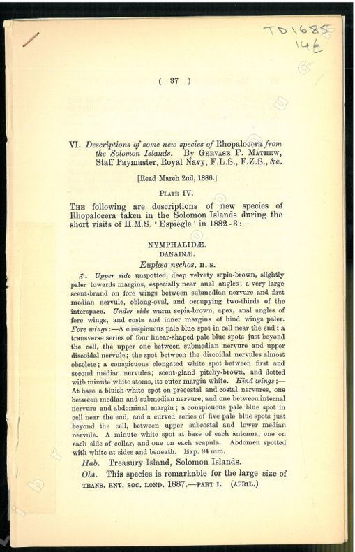
1887EL320841887 Trans.ent.Soc.London, Part I, 1887 : in-8, broché extrait, pp. 37-49, 1 planche couleurs hors-texte. Bon état !
1888IS267991888 xiv, 260 p., 274 figs, 12 pls, cloth. Library stamps (Zoologisch Museum Amsterdam). Partly loose. A few small, marginal worm holes. Working copy only.
18881318127Leipzig, E. Baldamus, 1888. 6, 487, (1) S. Hldrbd d. Zeit m. eingebund. OUmschlag (beschabt, innen gebräunt u. teils etwas fingerfleckig, mehrere Bibl.-Stempel u. handschriftl. Sign.).
1880VF104891880 106 p. 9 (3 folded) lithographed pls, disbound (no covers). Some slight foxing to some plates. Published in: Sitzungsberichte der Kaiserlichen Akademie der Wissenschaften. Scarce.
1880VF104901880 106 p. 9 (3 folded) lithographed pls, disbound (no covers). Plates with scattered foxing. Unopened copy. Published in: Sitzungsberichte der Kaiserlichen Akademie der Wissenschaften. Scarce.
18301226830Leipzig, Fleischer, 1830. 9 (v. 11), 364 S., 2 gefaltete Kupfertafeln, 1 gestochene Faltkarte. OBroschur (Rücken geklebt u. mit Fehlstellen, vorn gestempelt, Bindung leicht gelockert, innen etwas braunfleckig, ohne den Einzeltitel).
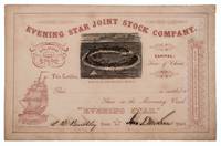
1862332701San Francisco: Towne & Bacon Printers 1862. Unaccomplished stock certificate for shares in a missionary vessel going to the Gilbert Islands Micronesia with a woodcut view of a tropical island printed in black the rest printed in red. Signed by John T. McLean and L. B. Benchley. 5-1/2 x 8-1/2 inches. Fine. Unaccomplished stock certificate for shares in a missionary vessel going to the Gilbert Islands Micronesia with a woodcut view of a tropical island printed in black the rest printed in red. Signed by John T. McLean and L. B. Benchley. 5-1/2 x 8-1/2 inches. The woodcut is signed by Loomis and shows a tropical atoll with palm trees small huts and several sailing vessels. The prospectus for the company survives at the University of Hawaii at Manoa dated 1862 and titled: Proposals for forming a children's Joint Stock Company for the purchase of a missionary vessel for the Gilbert Islands Micronesia. <br/><br/> Towne & Bacon, Printers unknown
189132829St. Louis: Woodward & Tiernan Printing Co. n.d. 1891. 1891. First edition. Third edition. 12mo. Original orange wrappers printed in black ink 82 2 pp. illustrated map. advertising. Issued by the general passenger department of the Missouri Pacific Railway. A general description of the state and its place in history is provided. Plus soil rainfall churches schools higher educational opportunities newspapers population and wealth corn wheat oats stock farming wild flowers orchards and vineyards salt lead and zinc stone brick and lime coal gas hunting and fishing cities irrigation etc. Views are offered of farms and ranches parade grounds city parks etc. of various cities. Herd 1204 says "Issued by the Missouri Pacific Railway Company this book appeared in many editions though all are now rare." Prior to this copy the earliest edition of a similar booklet was a 13th edition and that was 15 years ago. Fine clean copy with a fine folding map. An exceptional copy of a rare item. Woodward & Tiernan Printing Co., n.d. (1891)]. unknown
1872WRCAM29311Various places 1872. Twelve cards each 17 x 13 inches a.e.g. with manuscript captions in lower margins. Images are 9 x 6 1/2 inches except the two oval images of San Francisco. Some minor soiling on cards some images slightly faded. Very good. Archivally matted protected with a mylar sheet. An excellent collection of views quite early for Hawaii and New Zealand. The four views of Honolulu include one wide view of the town a view of a side street with a church steeple in the background the Pali mountain pass and the harbor with several large vessels at anchor. In New Zealand the Supreme Court building in Christchurch and the city of Littleton are displayed. The San Francisco images include the Palace Hotel and the famous Cliff House. Of particular interest are the three views of the Central Pacific Railway. The sections of the track include Capestown the Palisade and Summit Station each with fresh evidence of the line's recent completion. Also in the collection is one image of a railroad along the banks of Salt Lake and three wide views of Salt Lake City one with the Mormon tabernacle completed in 1871 prominently featured. An attractive collection of views each quite displayable. unknown books
1888WRCAM14797Philadelphia 1888. 39pp. Original front printed wrapper rear and spine lacking dbd. from larger volume. Signatures separated else good. Gives the terms of the mortgage. unknown books
188038887Chicago: Rand McNally & Co. n. d. ca 1880. 1880. First edition. 5 3/4" x 4" oblong color pictorial wrappers 16 pp. black & white engraved view of the "Hotel Colfax at Colfax Springs Iowa 333 miles west of Chicago and 24 miles east of Des Moines on the Chicago Rock Island & Pacific Railway." "Accommodations for three hundred and fifty guests. On the site of the famous Magnesium Chalybeate and Colfax Mineral Springs. A sanitarium for invalids and fashionable Summer Resort." Descriptive paragraphs about all the fishing grounds along the routes mostly in Illinois and Iowa with some mention of Missouri Dakota and Minnesota. Small agent's stamp at bottom of title page light evidence of a fold crease to the front cover else a near fine bright clean copy. Rand, McNally & Co., n. d. (ca 1880). unknown
1864PO080241864 72 p., 4 lithographed pls, roy. 4to, loose (no covers). Some scattered foxing. Novara Expedition.
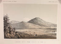
185714424Washington DC: A. O. P. Nicholson Printer 1857. First Edition. Very Good. 8.25x11in Four litho tinted illustrated plates I II VIII and XII; Some age-toning along edges one with large stain along right edge not affecting neatline of illustration. These plates are from from Volume VI of the quarto edition of twelve volumes were published from 1855 to 1861 as exploration and survey reports became available. These volumes contained not only the survey maps and elevations but a monumental collection of scientific reports on geography geology zoology botany and ethnology of the Native American tribes. The surveys also included 11 artists to record the landscape and indigenous peoples of the west. <br /> <br /> The plates were drawn in 1855 by John J. Young 1830-1879 a staff artist for the War Department. He was assigned in 1855 as a draftsman for the Lt. Williamson railway survey to connect California's Sacramento Valley with Oregon's Columbia River.Young's views of the Cascade Range included 14 landscape scenes one geologic scene and 10 drawings of trees in there habitat from Samuels p 545 <br /> <br /> The Illustrations are: Plate 1 - Lassens Butte From Vicinity of Camp 18 Plate II Mouth of Fall River near Camp 20 Plate VIII Canon of Psuc-See-Que Creek near Camp 41A Plate XII Shasta Butte and Shasta Valley from a point near Camp 70A.<br /> <br /> The twelve volumes were disorganized in publication with no overall all arrangement or indexing. Some of the plates and maps referred to in volumes were published in other volumes various reports were also published out of sequence relating to the four routes. Preliminary reports published were updated in latter volumes. From Wagner-Becker-Camp In 1853 Senator Gwin of California lead the inclusion of Congressional funding for 1853-54 of a series of surveys to determine the best and most economical railroad routes from the Mississippi River to the Pacific coast. The act directed the Secretary of War Jefferson Davis to plan and direct Army topographical engineers to conduct surveys of four routes. The first was between the 47th and 49th parallels generally along the Lewis and Clark route to the Pacific. The Second route between the 37th and 39th parallels was promoted by Senator Thomas Hart Benton of Missouri. The Third route was along the 35th parallel. The Fourth route was promoted by Secretary Davis along the 32nd parallel that followed Emory's 1846-47 reconnaissance. A. O. P. Nicholson, Printer unknown
18808642Chicago 1880. 27pp stitched. Original printed wrappers. Very Good. unknown books
189424143Institute of Pacific Studies, 1984 (Originalausgabe war 1894). Reprint. Frontispiz, 383 SS. 8°, illustr. original Paperback.
190051798Chicago: Curt Teich & Co. for the Van Noy Inter-State Co 1900. Oblong 4to unpaginated; 25 full-pg illustrations in color and mounted two pages of text containing illustration descriptions; tan pictorial wrappers lettered in black & gilt color illustration mounted on upper cover ribbon-bound; covers a bit toned at edges corners creased illustrations clean & bright overall very good. A picturesque view-book of "the most interesting views seen along the route" of Utah Nevada and California. <br/><br/> Curt Teich & Co. for the Van Noy Inter-State Co unknown books
18900000168San Francisco: H. S. Crocker 1890. Second edition. Very Good. Small 4to 46 2 pp. folding lithographed map numerous illustrations from woodcuts. Original pale yellow stapled paper wraps. Moderately edgeworn lightly soiled folding map with 2 inch closed tear along one fold <br/><br/>Describes & illustrates sites scenes & cities from New Orleans to San Francisco along the Sunset Route of the Southern Pacific Company including San Antonio the Rio Grande Missions of Santa Barbara Los Angeles Yosemite and Tahoe. The folding map depicts the route of railroad including connections & thus much of the Southwestern United States. H. S. Crocker paperback books
188115126Gotha, Perthes 1881. Kolorierte, lithographische Karte aus Petermann´s Mittheilungen aus Justus Perthes´ Geographischer Anstalt. Bd. 27, 1881. Größe: Ca. 26 x 30 cm. Gut erhalten.
188327620St. Paul: Brown & Treacy 1883. Original printed and illustrated wrappers. 96pp. Wraps worn blank inner margins with binding holes and some separation of the text block from the wraps. Else Very Good. Profusely illustrated. Blank verso of front wrapper with small plate 'Presented by J. Fletcher Williams St. Paul Minn.' <br/><br/> The story of the Railway its completion details of the celebration and the attractions of St. Paul "the Northwestern Metropolis."<br/>BRE 243. Brown & Treacy unknown books
1894R320056427CHALLAMEL A. / CHAILLEY LEON. 1894. In-8. Broché. Etat d'usage, Plats abîmés, Dos abîmé, Intérieur acceptable. 124 pages + 1 carte depliante en noir et blanc + environ 15 pages publicitaires -. . . . Classification Dewey : 996-Autres régions du pacifique
1857141996Bourg-en-Bresse, chez Francique Martin-Bottier 1857 In-12 18 x 11 cm. Reliure demi-percaline rouge, frontispice, IV-160 pp., table analytique.