ORTELIUS (Abraham);Livre Rare Book
152 résultats
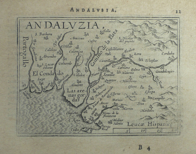
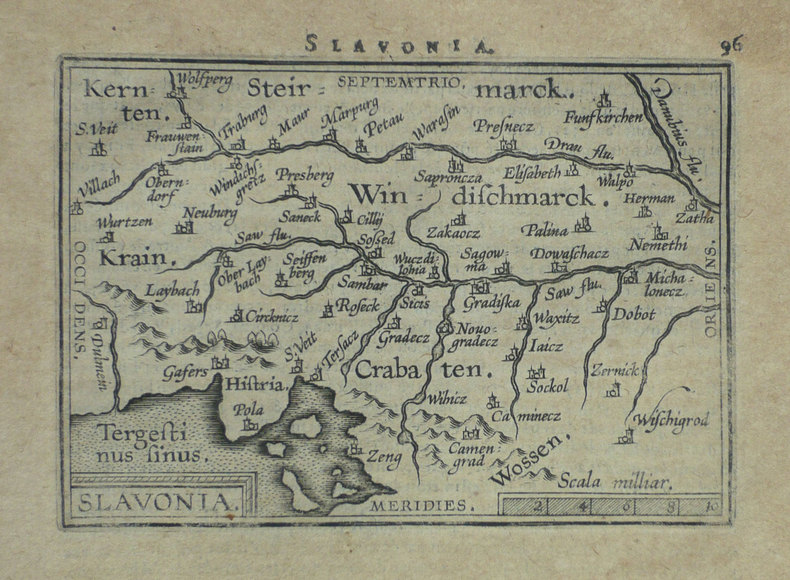
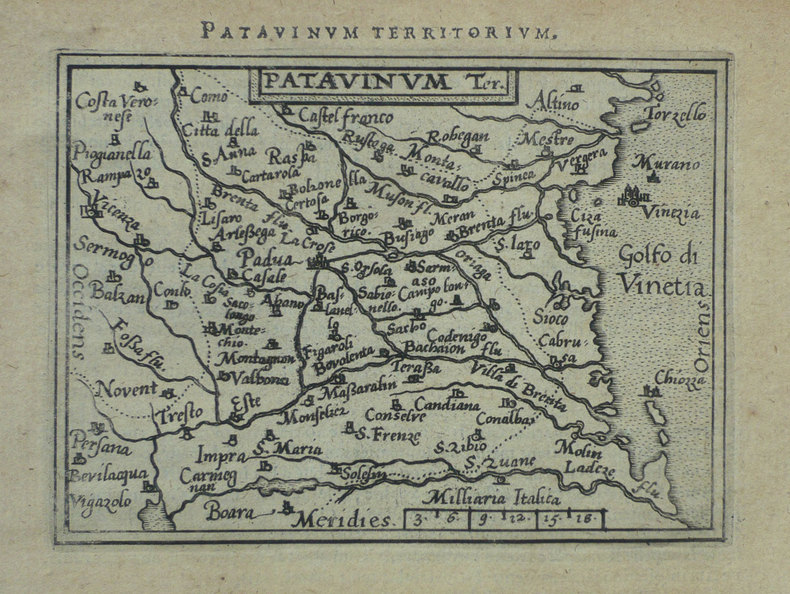
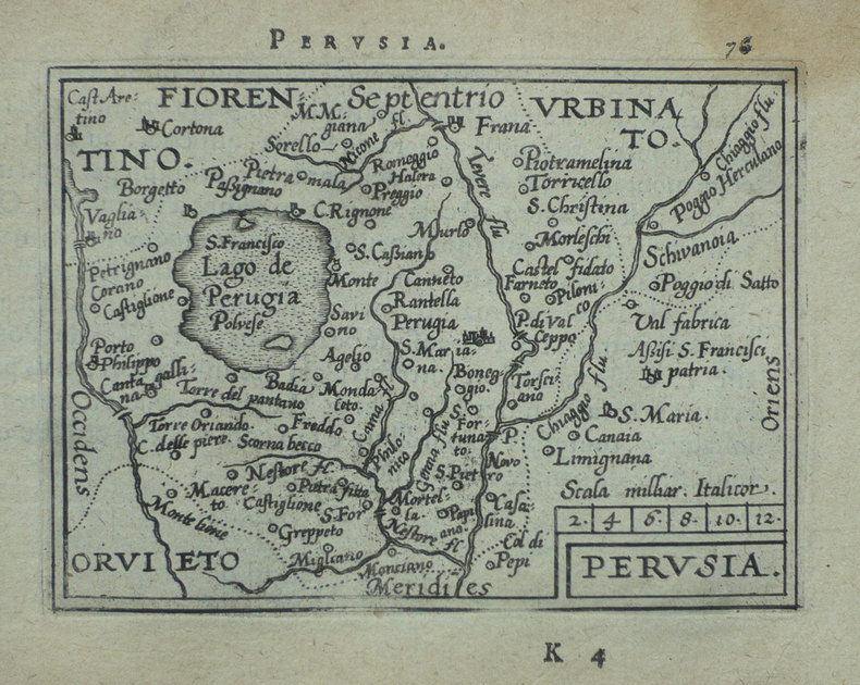
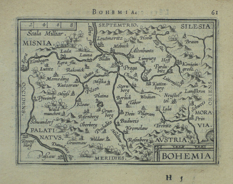
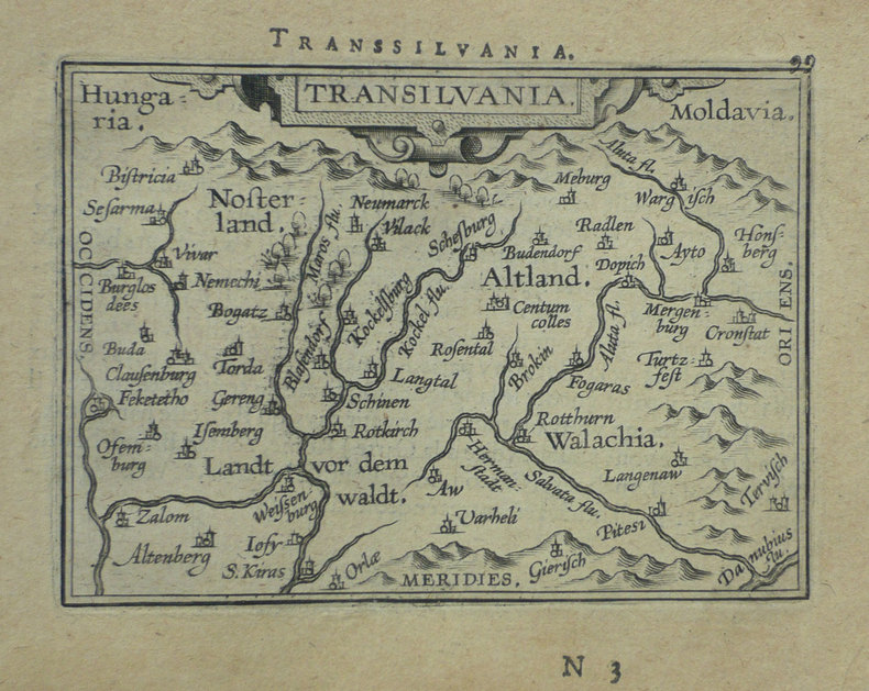
1598LBW-1407Anvers 1598 82 x 106 mm.
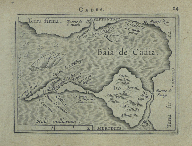
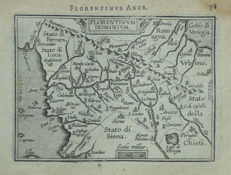
1598LBW-1398Anvers 1598 80 x 102 mm.
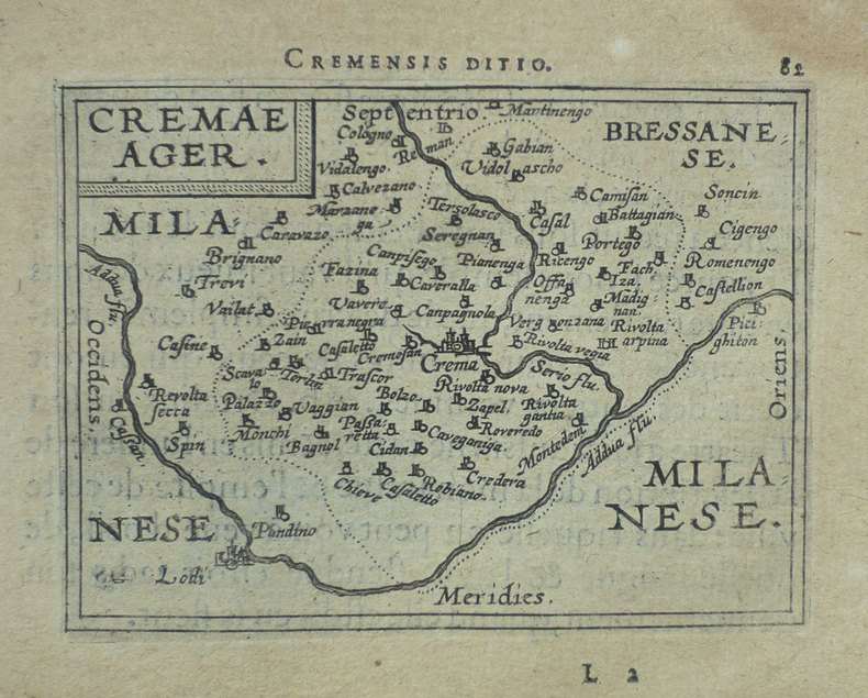
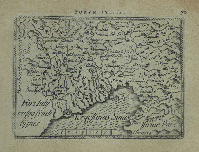
1598LBW-1499Anvers 1598 81 x 104 mm.
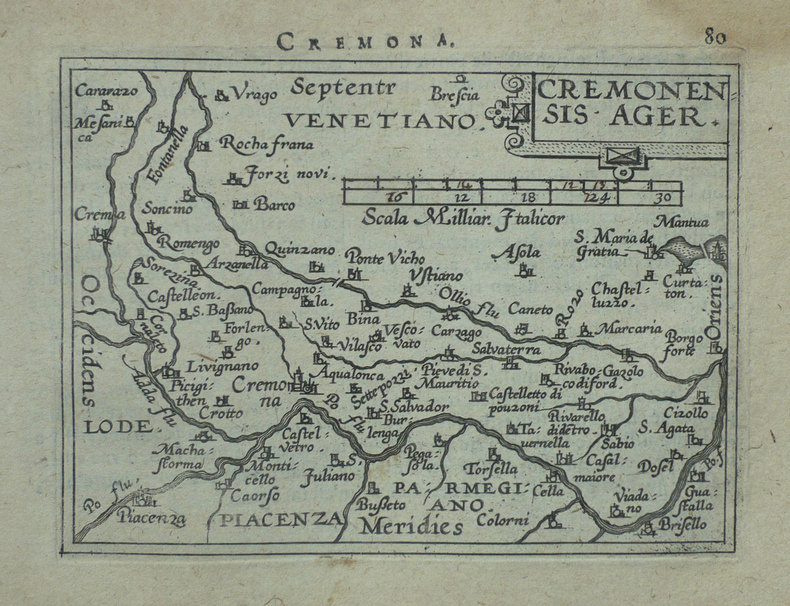
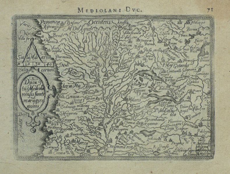
1598LBW-1421Anvers 1598 82 x 105 mm.
1598LBW-1418Anvers 1598 80 x 105 mm.
1598LBW-1389Anvers 1598 82 x 105 mm.
1598LBW-1399Anvers 1598 80 x 110 mm.
1598LBW-1410Anvers 1598 81 x 105 mm.
1598LBW-1422Anvers 1598 82 x 105 mm.
1598LBW-1412Anvers 1598 83 x 110 mm.
1598LBW-1415Anvers 1598 81 x 105 mm.
1598LBW-1423Anvers 1598 82 x 105 mm.
1598LBW-1416Anvers 1598 82 x 107 mm.
1598LBW-1401Anvers 1598 81 x 105 mm.
1598LBW-1409Anvers 1598 81 x 106 mm.
1598LBW-1395Anvers 1598 80 x 105 mm.
1598LBW-1420Anvers 1598 83 x 106 mm.
1598LBW-1411Anvers 1598 80 x 109 mm.
1598LBW-1375Anvers 1598 80 x 104 mm.
1598LBW-1404Anvers 1598 82 x 107 mm.
1598LBW-1384Anvers 1598 81 x 106 mm.
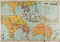
1572159290東京.Tokyo.: 金鈴社. Kinrei-sha. 昭和十八 October 101943. Two maps printed in colour on a single side of a folded sheet. The map titled "Complete Map of India and Australia" shows the region covering Australia southern India western mainland south-east Asia Indonesia the Philippines and New Guinea. The other map titled "India and Burma" shows the region covering India Afghanistan the western section of China Burma and Thailand on the lower left side. New Zealand is in an inset map in the lower right corner. As the note on the cover says "Including the detailed descriptions of the Solomons New Guinea and southern islands" this map shows the theatres of the Pacific War and the surrounding areas. The map indicates agricultural and mineral resources as well as cities roads railways sea routes national borders etc. Cover and publication details printed on two panels on the reverse. Some marking and browning. . 金鈴社. [Kinrei-sha]. unknown
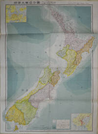
1572154080Tokyo: 統制社Tosei-sha. 昭和18 Showa1943. Folding colour map of New Zealand with inset of Auckland and Wellington top and bottom corners1:2000000 scale little light browning. Original envelope worn with closed tears. 54 x 76.5cm. Good copy. Scale plan of New Zealand printed by Tosei in 1943. The map legend shows infrastructure deemed important to the Land Survey Bureau of the General Staff Headquaters of the Imperial Japanese army such as boundaries powerlines quarries and mines; railroads sea-routes etc. . 統制社(Tosei-sha) unknown
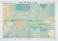
1572160554Tokyo 東京: 統制社Tosei-sha. 昭和 Showa 18. 1943. Colour folding map 54 x 75.5cm with original envelope. Envelope a little torn some occasional browning very good. The 13th map in this Standard Maps of Greater East Asia series of 20 maps. All text in Japanese. Shows railways shipping routes administrative boundaries airfields ports lighthouses mines oil wells etc. . 統制社(Tosei-sha) unknown
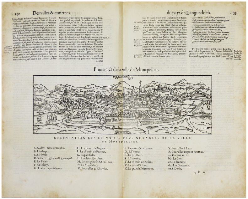
1575LBW-5507[Paris, Nicolas Chesneau, 1575]. 176 x 310 mm (vue et légendes).