BELLEFOREST (François de).Livre Rare Book

152 résultats
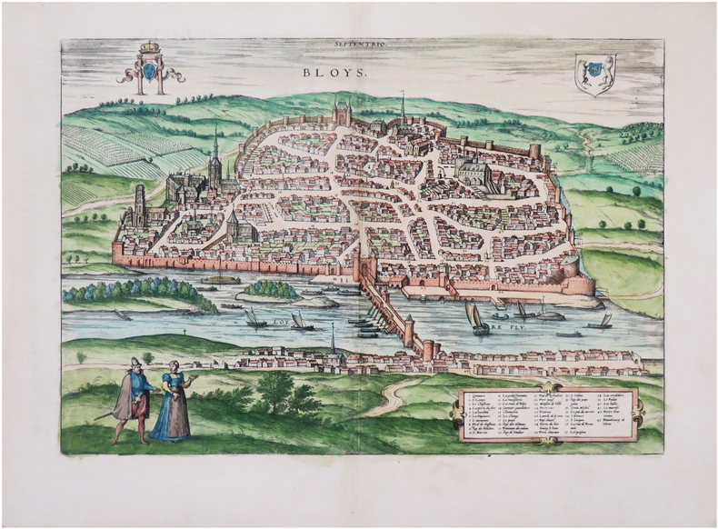
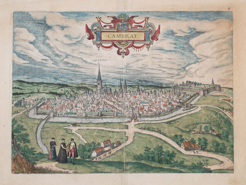
1575LBW-8961[Paris, Nicolas Chesneau, 1575]. 295 x 354 mm.
1575LBW-8980[Paris, Nicolas Chesneau, 1575]. 290 x 367 mm.
1555LBW062001555 181 x 179 mm.
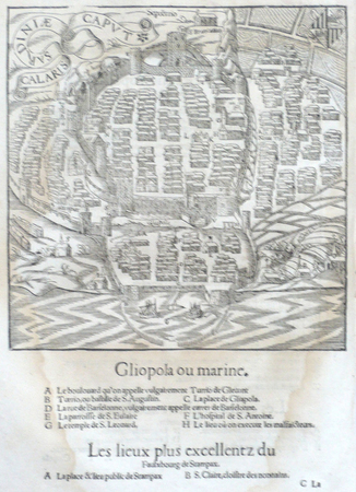
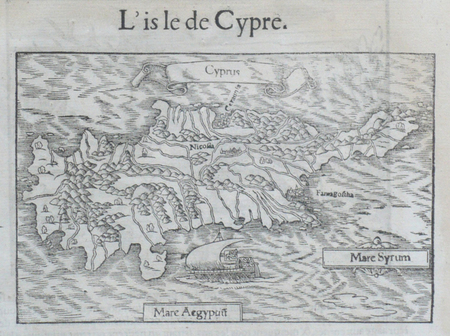
1550LBW-6654[Bâle, 1550]. 254 x 153 mm.
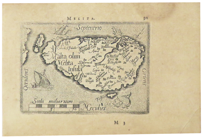
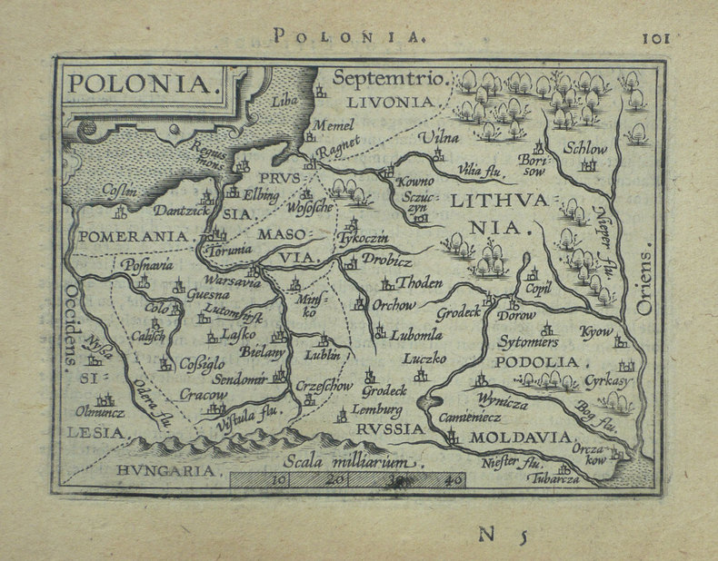
1598LBW-5386[Anvers, 1598]. 80 x 107 mm.
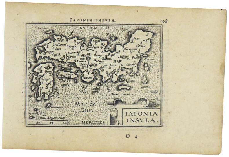
1598LBW-1424[Anvers, 1598]. 82 x 102 mm.
1598LBW-1390Anvers 1598 82 x 108 mm.
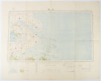
1519173266Tokyo.: 大日本帝國陸地測量部. Dainihon Teikoku Rikuchi Sokuryōbu. Taisho 15. 1926. Folding colour Japanese map of Shanghai and coastal areas of Jiangsu and Zhejiang Provinces. Scale 1:100000 embossed stamp lower right corner. Legend lower edge showing different landforms on the left section forests deserts wildlands plateaus rivers and lakes middle section showing various facilities such as post offices telecommunication offices temples ancestral halls ancient battle ground mines military fortifications submarine communications cables city walls and gates etc. right section showing different sizes of cities towns and villages and administrative boundaries. <br> <br>Occasional foxing along edges and folds ink annotation in Kanji on reverse good copy. Text in Japanese. Sheet measures 45.2 x 57.7cm. This very detailed map was originally surveyed by the Land Survey Department Empire of Japan in Taisho 7 1918. This revised edition features the railway line connecting Hangzhou - Jiashan - Shanghai - Suzhou - Wuxi. . 大日本帝國陸地測量部. [Dainihon Teikoku Rikuchi Sokuryōbu]. unknown
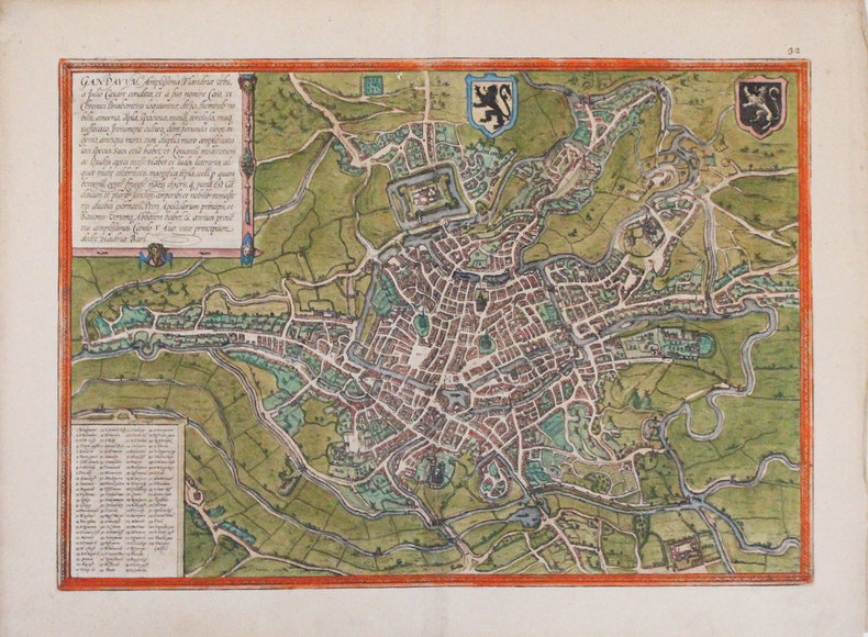
1575LBW-8984[Paris, Nicolas Chesneau, 1575]. 280 x 354 mm.
1575LBW-7902[Cologne, 1575]. 308 x 438 mm.
157389761573 PLAN ANCIEN en couleurs, colorée d'époque à la main, en marron, bleu, vert et rouge. Format total : 40 centimètres de haut par 31 centimètres de large, réalisée par Braun, Georg et Hogenberg, Frans , tiré de l'ATLAS : "Civitates orbis terrarum liber primus", 1573 Coloniae Agrippinae : [s.n.] Editeur,
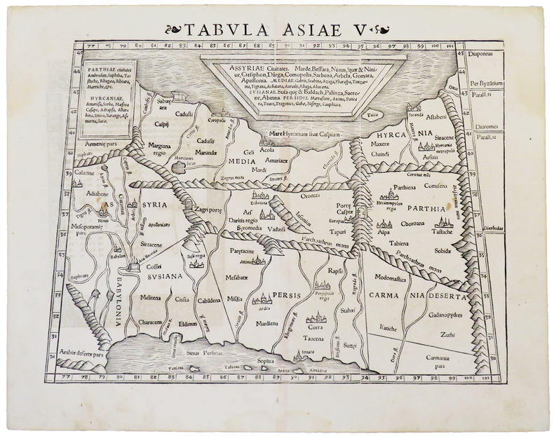
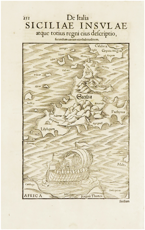
1550LBW-4933[Bâle, circa 1550]. 266 x 344 mm.
1576LBW004efVenise 1576 105 x 141 mm.
1576LBW004f6Venise 1576 104 x 141 mm.
1576LBW004f3Venise 1576 100 x 138 mm.
1576LBW004f9Venise 1576 102 x 140 mm.
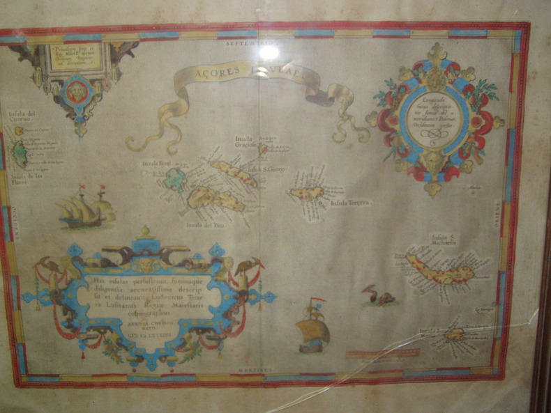
1584224251584 Orig. copper-engraving. Published by A. Ortelius after to L. Teixeira's map of the Açores. Dated 1584. Coloured. With title in decorative border, 3 ornamental cartouches, 2 ships, sea-monster and "Scala Leucarum". 32,5:46,5 cm (12 3/4 x 18 1/4 inch.) 2,5 x 46,5 cm Van der Krogt, Koeman's Atlantes Neerlandici, Vol. III B, 6350:31; Van den Broecke, Ortelius Atlas Maps, Nr. 24. - Stammt aus einer von fünf lateinischen Ausgaben, die in den Jahren 1595 - 1612 erschienen. Alle tragen das Datum 1584 in der großen Kartusche.A splendid sea chart of the Azores with three scrollwork cartouches; the ocean is decorated with sailing vessels. A fresh example of this scarce sea chart, based on Teixeira's single sheet map of Terceira from 1582, and a later manuscript atlas of the Azores islands. The Azores played a significant role in international sea trade as a victualling stop and shelter for ships sailing into the South Atlantic. In very good condition. The map was first issued in an edition of 100 examples in the Additamentum to the 1583 edition of Ortelius' Theatrum Orbis Terrarum, which is widely referred to as the first modern atlas and a landmark in the history of Western map making. Beginning in 1570, Abraham Ortelius and his successors published (and continuously added to) this monumental work for a period of over 40 years (not including the very rare edition of 1641), with text on the verso in Latin, Italian, German, Dutch, French, Spanish and English.References: Van Den Broecke 24. Meurs p 253-254.
158464215Antwerp.: Abraham Ortelius. circa1584. Two engraved maps on laid paper each 30.3 x 19.5 cm printed on the one sheet 48 x 60 cm original fold attractive hand colour with related French text on verso slight toning and spotting to the margins but the maps in very good condition preserved in a modern window mount. Attractive maps of the German coast published in Ortelius' great atlas "Theatrum Orbis.". The left-hand map showing the mouths of the Elbe complete with sea monster and Eider Rivers and the coast of Schleswig-Holstein; the right-hand map of the Baltic coast with the Pomeranian islands of Rugen and Usedom. . (Abraham Ortelius). unknown
1588LBW-3234[Cologne, 1588]. 355 x 495 mm.
1572LBW-3298[Cologne, 1572]. 336 x 480 mm.
1572LBW-1445[Venise, 1572]. 223 x 166 mm.
1555LBW062061555 96 x 150 mm.
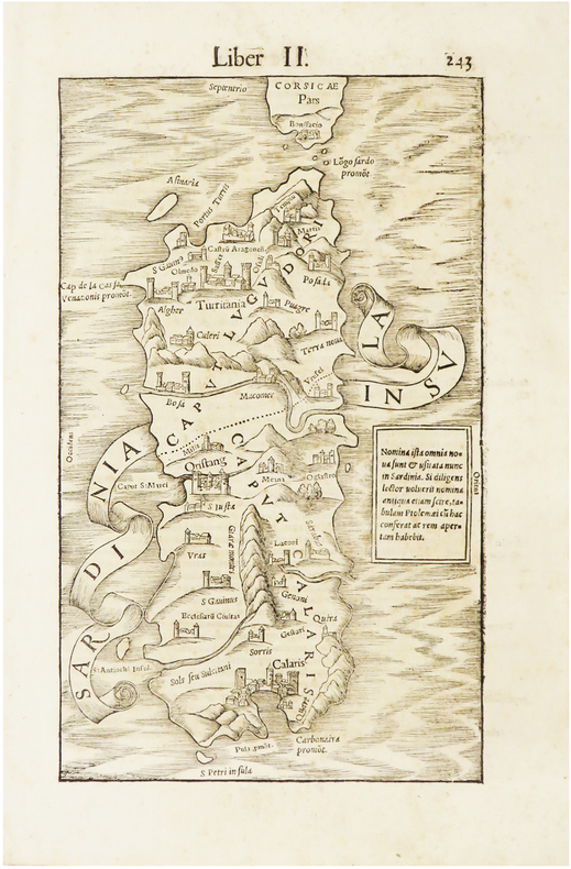
1550LBW-6659[Bâle, 1550]. 213 x 148 mm.
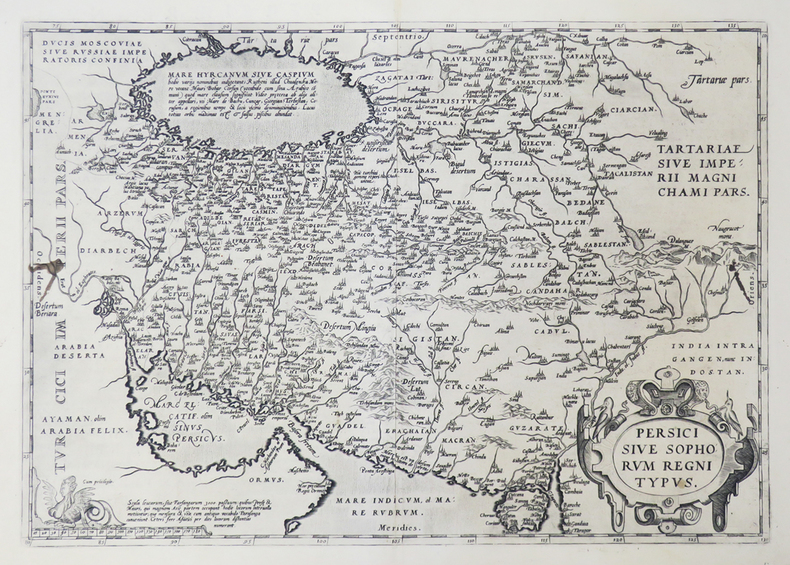
1592LBW0251e[Anvers, 1592]. 349 x 496 mm.
1576LBW004f5Venise 1576 104 x 142 mm.