457 résultats
16876047<p>Das von den Türcken lang-gequälte nun durch die Christen neu-bescelte Königreich Hungarn Theodoro Tscherning; maps by Martin Stier. Published by Martin Endter Nuremberg 1687. First Edition. 16mo up to 6½" tall. 464pp. fold out dedication to the Holy Roman Emperor Leopold I dated 1687 with detailed engraving of a double-headed eagle holding a scepter and orb; 12 folding maps as called for; index 12pp. Individual maps removed and placed together form one large map. Half leather over marbled boards banded spine red edges. Browning to title page and light toning thereafter. Maps are in very good to fine condition. Partial split to leather at outer upper hinge and partial crack to inner hinge. In very good condition.</p><p>The Kingdom of Hungary long tormented by the Turks now blessed by the Christians. According to the attached XII most accurate maps clearly handled and provided with the newest most remarkable events extending up to the present time. A brief presentation and description of the Hungarian cities fortresses and castles including the neighboring lands of Austria Moravia Carinthia Carniola Styria Bosnia Dalmatia Croatia Slavonia Bulgaria Transylvania etc.</p><p>Published during a pivotal era for the Habsburgs shortly after the 1683 Battle of Vienna and the same year 1687 as the Battle of Mohács which helped solidify Habsburg control over Hungary.</p> Martin Endter hardcover
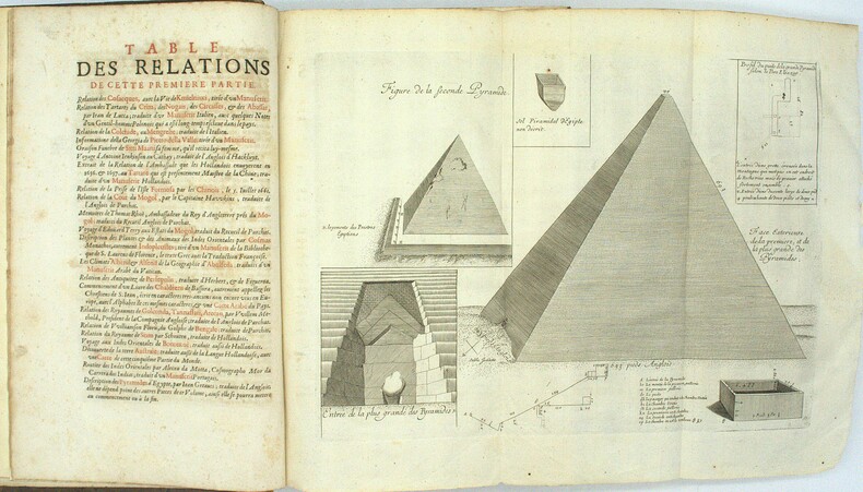
1696PHO-1981Paris, Thomas Moette, 1696 ; 5 parties en 2 vol. in-folio (37x23,5cm), veau marbré, dos à nerfs richement orné de motifs dorés avec tomaison et pièce de titre grenat, quelques frottements, charnières fendillées, manque au dos, coins usés, coiffes absentes, 8 feuillets détachés, rousseurs, qlqs feuillets brunis. L’illustration comporte de nombreuses gravures et illustrations dans et hors texte, 6 cartes dont la carte de l’Indostan, de la Colchide, du Japon (qui regarde l’Amérique), carte de la route du voyage de Canton à Péking, carte de l’Éthiopie, carte de l'Éthiopie ["Entrée de quelques ports…"]. Il manque la Carte de Bassorah, les 2 planches de caractères Chaldéens, la carte de l’Australie, la carte des côtes d’Arabie et d’Asie, la carte des Costes de Sierlionne, la carte des Philippines et Chine, la carte de Chine
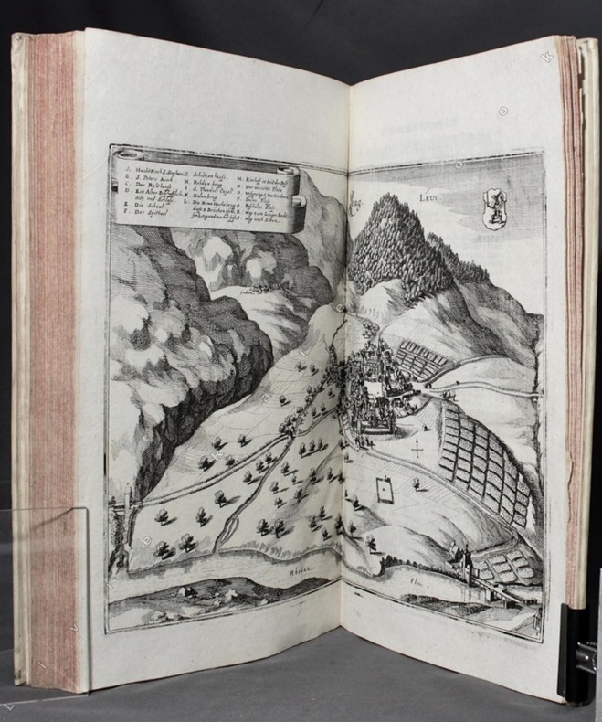
16548502Franckfurt am Mann, Merian, 1654. Grand in-4 de 90-[10] pages (A-L8; M6), plein vélin blanc, reliure du XVIIIe siècle de réemploi, exemplaire lavé, toutes les planches ont été proprement remontées sur onglet, sans un faux pli. Ex-libris gravé du XVIIIe siècle de Georg August Graf zu Erbach.
168424285Edo Tokyo: Hyoshiya Ichirobe Hayashi-shi Yoshinaga First month 1684 But Third month 1680. A large woodcut map of Edo Tokyo with fine handcolouring on joined and folded paper. The map is breathtaking in its detail and features many paintings of important landmarks temples bridges and people who are often pictured working or fishing from boats on the waterways running through Tokyo. A stunning and very rare woodblock map beautifully and unusually handcoloured. Roads blocks buildings open areas canals and waterways are all vividly laid out on this huge and most impressive map. 123.5 by 149.5 cm. folded within paper covers folds to 28 by 18 cm now preserved in a fine clamshell box. A remarkably well preserved and very rare item with some light rubbing due to age and as to be expected. A bit of old worming or light soiling and occasional small repairs but in all quite astonishing in its quality and beautifully preserved with bright and vivid colour and detail. AN EXTRAORDINARY ITEM REMARKABLE FOR BOTH ITS CARTOGRAPHIC DETAIL AND ITS ARTISTIC BEAUTY. The wood block printing shows land tenures of Daimyo and Hatamoto. It also shows temples and shrines includes a distance chart and descriptive listing of Daimyo showing crests and halberds. There is also a inset of the eastern portion of Edo. Hyoshiya Ichirobe (Hayashi-shi Yoshinaga) unknown
16491000378<p>Geometria à Renato Des Cartes Anno 1637 Gallicè edita; nunc autem Cum Notis Florimondi de Beaune In Curiâ Blaesensi Consiliarii Regii In linguam Latinam versa & commentariis illustrata Operá atque studio Francisci à Schooten Leydensis in Academiâ Lugduno-Batavâ Matheseos Professoris Belgicè docentis. Lugduni Batavorum Leiden: Ex Officinâ Ioannis Maire 1649. First separate and first Latin edition of "La Géometrie". 18th-century leather binding with spine lettering wear to corners and ends but binding is firm. Occasional foxing. The previous owner was John Fitzwilliam died 1699 who was elected fellow of Magdalen in 1661 and became the librarian there in 1662. He would become tutor to Lady Rachel Wriothesley later Lady Russell whose husband Lord Russel was executed under the Rhy House Plot to assassinate King Charles II. The work for a time was part of the private library of Makree Castle in Collooney Ireland but was later owned by the celebrated collector philanthropist Harrison Horblit. "The work was the first to propose the idea of uniting algebra and geometry into a single subject and invented an algebraic geometry called analytic geometry which involves reducing geometry to a form of arithmetic and algebra and translating geometric shapes into algebraic equations. For its time this was ground-breaking. It also contributed to the mathematical ideas of Leibniz and Newton and was thus important in the development of calculus." $12000.00</p> hardcover
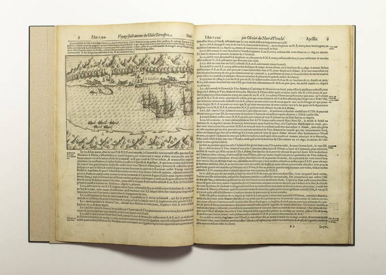
160211790Imprimé à Amstelredam [sic], chez Cornille Claessz sur l'Eau au Livre à Ecrire, l'an 1602. In-folio de [2]-61 pages (A-H4), cartonnage noir à la Bradel, signé Honegger. Restauration mineure à quelques feuillets.
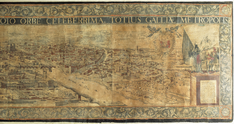
1617LBW-982[Amsterdam, 1617]. En quatre feuilles jointes de 590 x 2240 mm ; encadré sous verre.