MINISTÈRE des TRAVAUX PUBLICS.Livre Rare Book
2 035 résultats
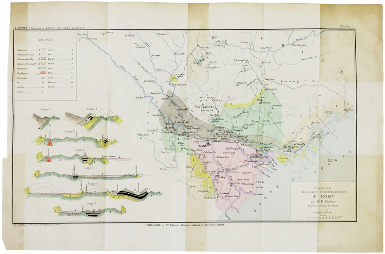
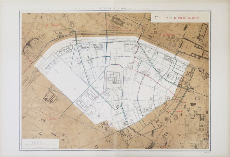
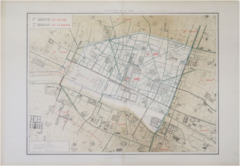
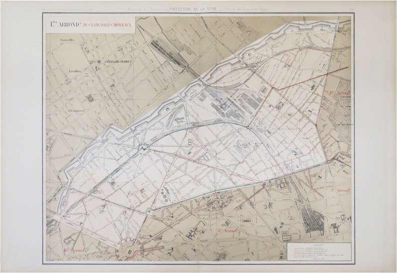
1884LBW-5469Paris, Auto. Marchadier et Cie, 1884. 285 x 459 mm.
1880LBW-5046[1880]. 165 x 248 mm.
1890LBW-7248[1890]. 239 x 158 mm.
1890LBW-8639Paris, [1890]. 228 x 156 mm.
1842LBW-7574Paris, Aubert & C.ie, [1842]. 394 x 238 mm.
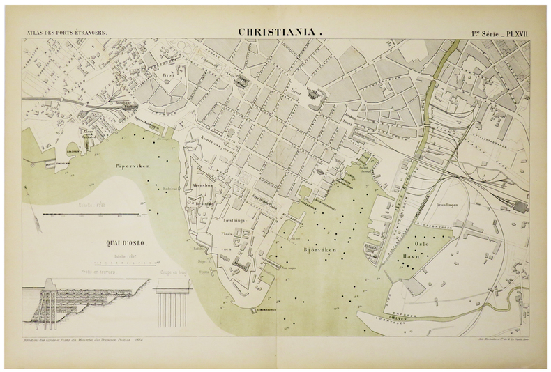
1888LBW-5005[1888]. 243 x 433 mm.
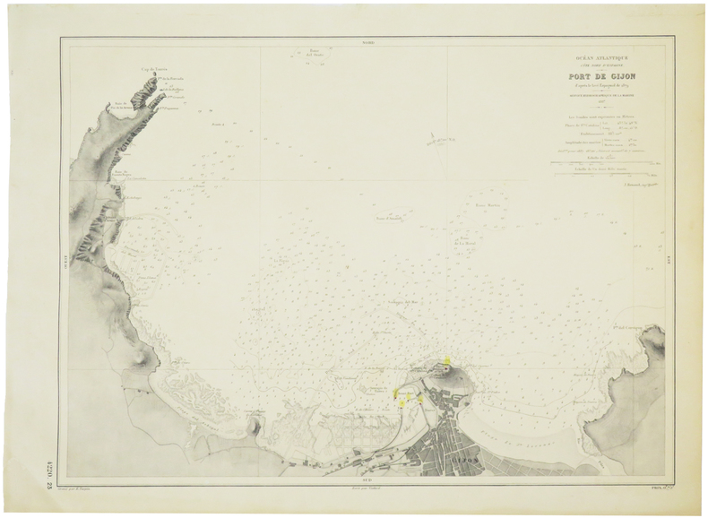
1887LBW-5712Service Hydrographique de la Marine, 1887. 319 x 432 mm.
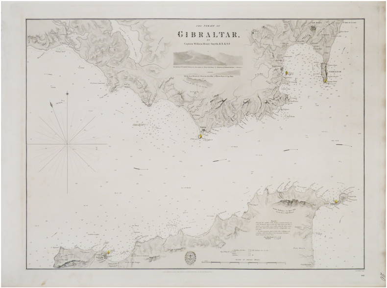
1833LBW-8936London, Hydrographical Office of the Admiralty, 1833. 445 x 592 mm.
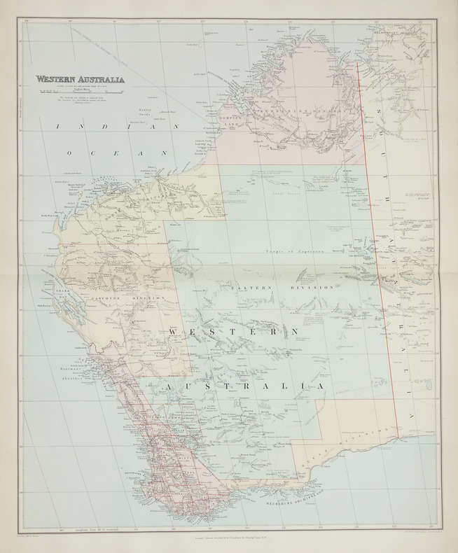
1896LBW-2708London, Edward Stanford, [1896]. 508 x 628 mm.
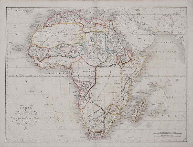
1825LBW-31561821. 405 x 542 mm.
1840LBW-3681[1840]. 212 x 279 mm.
183911981Paris Ledoyen s.d. [1839] in-18 br., couv. impr
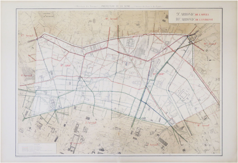
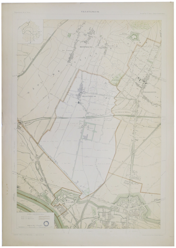
1885LBW-8752Paris, 1883 [1885]. 605 x 800 mm.
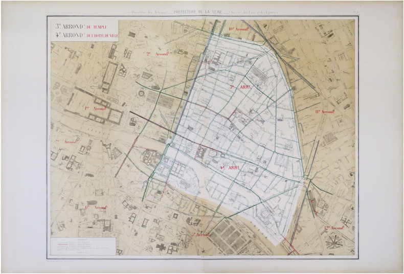
1885LBW-8822Paris, 1883 [1885]. 630 x 803 mm.
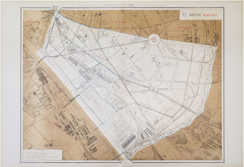
1885LBW-8823Paris, 1883 [1885]. 635 x 822 mm.
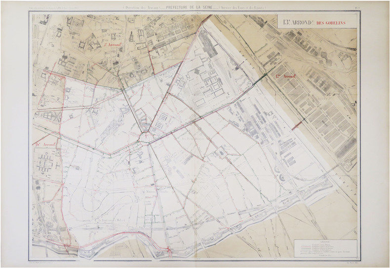
1885LBW-8827Paris, 1883 [1885]. 626 x 759 mm.
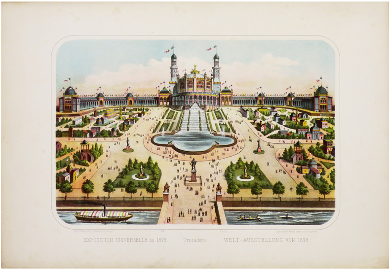
1878LBW-6761Paris, Fr. Wentzel, 1878. 275 x 386 mm.
1895LBW-51661895. 852 x 583 mm.
181231053London, Cadell & Davies, 1812. 77,5x56 cm. Kobberstukket kort over Danmark i original konturkolorering. Island i lille format indsat i øverste venstre hjørne.
187349323Gota, Justus Perthes, 1873. Large 8vo. Orig. hcalf, but nicely rebacked with buckram. Double-page title-page with ""Table des Matiéres"" and 34 double-page engraved maps with outline-colouring. 8Numb. 1-20 + a,b,c numb). Maps clean, some brownspots seen on verso of maps.
181056906Milano, Chez Bettalli, (ca. 1810). (56 x 84 cm.). Large engraved plan of Cadix and surroundings, sectioned in 8 and mounted on linen. Handcoloured. Gravé en Milan par Louis Rados. Some faint scattered brownspots.
189036348Gotha, Justus Perthes, o.J. (Ca. 1890). Small folio. (33x22 cm.). Orig. full cloth, gilt lettering with title on frontcover. Small tears to backstrip, edges with light wear. 23 pp. and Africa-map 100x85,5 cm. coloured and folded, mounted on cloth. The map in fine condition.