Livre Rare Book
11 983 résultats
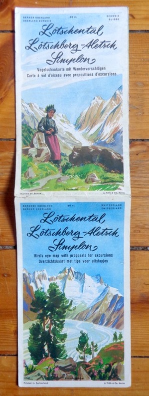
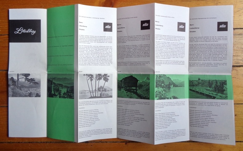
2604Carte dépliante en couleurs, publiée par les BLS (Berne-Loetschberg-Simplon). Photographies en noir et texte en 4 langues au verso. Divers itinéraires en train proposés.
2654Carte (vous l'aurez compris) dépliante en couleurs. Photographies en noir et texte en 4 langues au verso. Infimes déchirures.
190577013Leipzig, F. A. Brockhaus, [ca. 1905]. Bildgröße 21 x 14 cm. Unter Feinkartonpassepartout.
190176499Leipzig, F. A. Brockhaus, [ca. 1901. Bildgröße 20,5 x 14 cm. Unter Feinkartonpassepartout.
190176500Leipzig, F. A. Brockhaus, [ca. 1901. Bildgröße 20,5 x 13,5 cm. Unter Feinkartonpassepartout.
Folded map in good condition, some creasing. No publication date. 50967. eng
37 x 43 cm. (Blatt: 42 x 55 cm). *Regionalkarte des Mansfeldischen Gebiets, gedruckt bei Janssonius, schönes Kolorit. - Sauber und sehr gut erhalten. Landkarten de
37 x 43 cm. (Blatt: 42 x 55 cm). *Regionalkarte des Mansfeldischen Gebiets, gedruckt bei Ortelius, schönes Flächenkolorit. - Sauber und sehr gut erhalten. Landkarten de
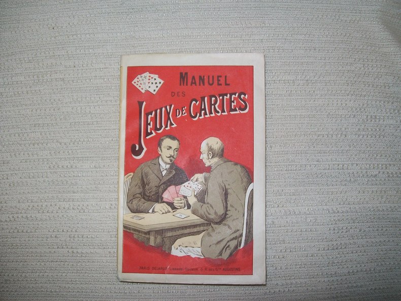
1900GITb923Paris Delarue sd v 1900. In-16 broché couverture illustrée 176pp. Bel exemplaire.
1922175918Washington D.C.: National Geographic Society. 1922. Large folding printed colour map 77.2 x 69.4 cm small inset map of Cape Verde Island note to the transliteration of place-names reference key to railways caravan routes as well as river systems waterways and deserts legend to Colonial or territorial control original folds slight toning in very good condition. Attractive large-scale map with countries and territories coloured according to the controlling colonial power. . National Geographic Society. unknown
Size: 60 x 49 cm (23 x 16 inch) with wide margins. Leaf: 69 x 51 cm (27 x 20 inch). Printed in red and green colour on thin paper. *Probably the 1878 edition. - "In 1858 William H. Rand, a native of Boston, established a printing office in Chicago and employed as a printer Andrew McNally. By 1868 Rand and McNally formed a partnership which soon acquired a reputation for printing railroad publications. In 1871 they introduced the Rand, McNally Railway Guide. That same year their business was destroyed in the Great Chicago Fire. Rand and McNally opened their new map department in late 1872. In January 1873 it was announced that "the house of Rand, McNally & Co. beg leave to inform their railroad friends and the patrons of the Railway Guide generally, that they have lately made extensive additions to their engraving department, and are now prepared to execute maps using relief-plate engraving [i.e., wax engraving] in the very highest style of the art." With the adoption of the wax engraving process, followed in May 1873 by the employment of a color printing process, the company`s reputation as one of the world`s leading commercial mapmakers was established. A major accomplishment of Rand, McNally was the publication in 1876 of the "New Railroad and County Map of the United States and Canada. Compiled from Latest Government Surveys, and Drawn to an Accurate Scale." That same year, the company used the plates from this map to produce its famous Commercial Atlas and Marketing Guide. This relief map of California and Nevada was included in Rand, McNally & Co.’s Business Atlas published in 1878-9. It shows cities, towns, waterways, and labeled railroad routes" (Historical maps). - Very good condition. Landkarten de
1940ED3-992London, Catholic Truth Society, [ca 1940]. rev. Ed. 1 map ; 77 x 51 cm., folded and fastened in covers 13 x 18 cm.
Madrid, Edit. Incafo, 1990. Numerosas ilustraciones en color. Numerosos mapas en color. 187 p. Folio. Rústica editorial ilustrada. Lomo en espiral. Muy buen ejemplar.
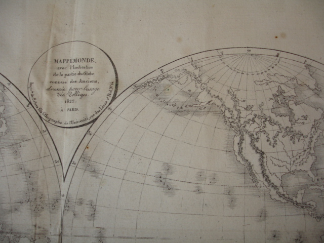
CZC-1431CARTE COULEUR GÉOGRAPHIQUE COULEUR format 44 cm x 33,5cm ( pliable en 4 parties) Imprimerie de Selves fils, lithographe de l'Université, rue des Lions St Paul n°14 Bel état, document authentique , couleur envoi Export suivis pour l'étranger ( 6,75 €)
CZC-1431CARTE COULEUR GÉOGRAPHIQUE COULEUR format 44 cm x 33,5cm ( pliable en 4 parties) Imprimerie de Selves fils, lithographe de l'Université, rue des Lions St Paul n°14 Bel état, document authentique , couleur envoi Export suivis pour l'étranger ( 6,75 €)
015638Iolas 0 En feuilles
18792489Paris, Baudry et Cie, 1879; 1 feuille de 114 x 64 cm. découpée en 27 feuilles de 204 x 125 mm. collées sur une toile pliée sous reliure percaline d'éditeur, seule la partie du territoire français est en couleurs avec relevés géologiques, 6 ff. de notice explicative. Bel exemplaire.
36 x 48 cm. (Blatt: 47 x 57 cm). *Zeigt das Gebiet von Mecklenburg. Schönes Altkolorit. - Sauber und sehr gut erhalten. Landkarten de
34 x 44 cm. (Blatt: 45 x 55 cm). *Zeigt das Gebiet von Mecklenburg. - Breitrandig. Landkarten de
2721PHOTOTYPE BERTHAUD , sans date ( 1870 environ ) , recueil de 35 cartes , trés bon état de consevation des cartes de format 30 x 60 cm environ
32 pages, illustrated, maps. eng
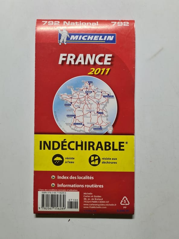
2011500269684Michelin Vertrieb durch GRÄFE UND UNZER VERLAG GmbH 2011 688 pages 21 4x1 4x10 8cm. 2011. map. 688 pages.
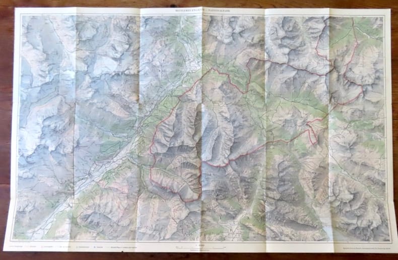
19312Zernez, Nationalpark, sans date. Carte au 1:50 000, au format ouvert de 74 x 47,5 cm. En belle condition.
Granollers, Editorial Alpina, 1957. Santa María de Oló - Estany - Puig Rodós - Vall de Marfá - El Toll - Collsuspina - Granera. Mapa topográfico excursionista y notas explicativas. Escala 1:25.000. Mapa entelado y plegado. Buen ejemplar.