Antiquariat.de
Antiquariat.de
Würzburg. Stadtplan im Maßstab 1: 20.000. Farbige Lithographie.
189576430Leipzig, F. A. Brockhaus, 1895. Bildgröße 13 x 21,5 cm. Unter Feinkartonpassepartout.

Antiquariat Reinhold Pabel · DE - Hamburg20,00 €
11 983 résultats
1850KART0157Gotha, Justus Perthes (um 1850). Grenzkol. Kupferstichkarte, mit Längen- u. Breitegradangaben in Rahmenleiste, Bildausschnitt 24x18,5 cm, Blattgröße: 31,5x25 cm, im w. Rand schwach stockig, 2 minim. Randläs., eine Ecke mit Knitterspuren. (= Stieler's Schul-Atlas No. 30).
34,5 x 50 cm. (Blatt: 42 x 53 cm). *Sauber und sehr gut erhalten. Landkarten de
35,5 x 46 cm. (Blatt: 42 x 52 cm). *Sauber und sehr gut erhalten, sehr schöne Kolorierung.. Landkarten de
199777484[Hamburg], 1997]. Mehrfach gefalt., farbige Karte (60 x 56).
38 x 43,5 cm. (Blatt: 45 x 55 cm). *Die Orteliuskarte Württemberg. - In den oberen äußeren Ecken mit gebräuntem Wasserrand (außerhalb der Darstellung), ansonsten sauber und sehr gut erhalten. Landkarten de
1974015306Paris Galerie Beaubourg 1974 plaquette in-4 Broché, couverture illustrée Edition originale Dédicacé par l'auteur
189576430Leipzig, F. A. Brockhaus, 1895. Bildgröße 13 x 21,5 cm. Unter Feinkartonpassepartout.
Covers lightly creased, rear cover yellowed, (Your Guide Map Series ; 2). eng
18401747AGBasel. Chr. Krüsi ca. 1840. Kupferaquatinta von R.Huber. Blattformat: 23 x 32 cm.
18401747AGBasel., Chr. Krüsi, ca. 1840. Kupferaquatinta von R.Huber. Blattformat: 23 x 32 cm. + Wichtig: Für unsere Kunden in der EU erfolgt der Versand alle 14 Tage verzollt ab Deutschland / Postbank-Konto in Deutschland vorhanden +, A
Madrid, Dirección General del Instituto Geográfico y Catastral, 1951. 2ª edición. Mapa publicado por sectores (sector 118). Escala 1:50.000. 56x76 cms. Mapa entelado y plegado. Buen ejemplar.
19206842ASt. Andreasberg, Körperkultur-Verlag, o. J. [Um 1920]. 9 x 13,5 cm.
1840598DG(um 1840). Kol. Lithografie. Bildgrösse: 20,2 x 30,7 cm. Blattgrösse: 28,5 x 38 cm. + Wichtig: Für unsere Kunden in der EU erfolgt der Versand alle 14 Tage verzollt ab Deutschland / Postbank-Konto in Deutschland vorhanden +, bild
1840598DG(um 1840). Kol. Lithographie. Bildgrösse: 20,2 x 30,7 cm. Blattgrösse: 28,5 x 38 cm.
19057reliure éditeur - 14x17 - 62 tours - maxi livres 2002
195088200Hamburg, Atlantik-Verlag, 1950]. Mehrfach gefalt. farbiger Plan. Maßstab 1:50.000. Blattmaß 73,5 x 50 cm. Falzmaß 26,5 cm.
191718661Berne, Schweiz. Landestopographie / Service topographique fédéral, 1917. Carte au 1: 100.000, au format ouvert de 77 x 55 cm.
187358308(Washington : Government printing Office, 1873). 8vo. In later half cloth with the original wrappers pasted on to boards. From ""Mittheilungen aus der norddeutschen Seewarte"", von W. von Freeden. Abstract, translated from the ""Revue maritime et coloniale"". July, 1873. Stamp to front board and first leaf of text. 12 pp. + folded chart.
(Washington : Government printing Office, 1873). 8vo. In later half cloth with the original wrappers pasted on to boards. From ""Mittheilungen aus der norddeutschen Seewarte"", von W. von Freeden. Abstract, translated from the ""Revue maritime et coloniale"". July, 1873. Stamp to front board and first leaf of text. 12 pp. + folded chart.
175053183Um 1750. (18,5 x 26 cm.). Engraved view of Amsterdam. Kupferstich von Amsterdam.
Um 1750. (18,5 x 26 cm.). Engraved view of Amsterdam. Kupferstich von Amsterdam.
Weimar, in Verlage des Geographischen Instituts, 1825-28. Folio. Each 49x60 cm. 5 steel-engraved maps depicting the 5 parts of Prussia. All Handcoloured in outline. Cont. blank wrappers, wrappers partly lost. All maps with broad margins with use and tears, one tear reaching engraved surface. Some soiling. The last 2 maps dampstained in right corners.
175053182Um 1750. (19 x 26 cm.). Engraved view of Augsburg. Kupferstich von Augsburg. F. Garden Sculp.
Um 1750. (19 x 26 cm.). Engraved view of Augsburg. Kupferstich von Augsburg. F. Garden Sculp.
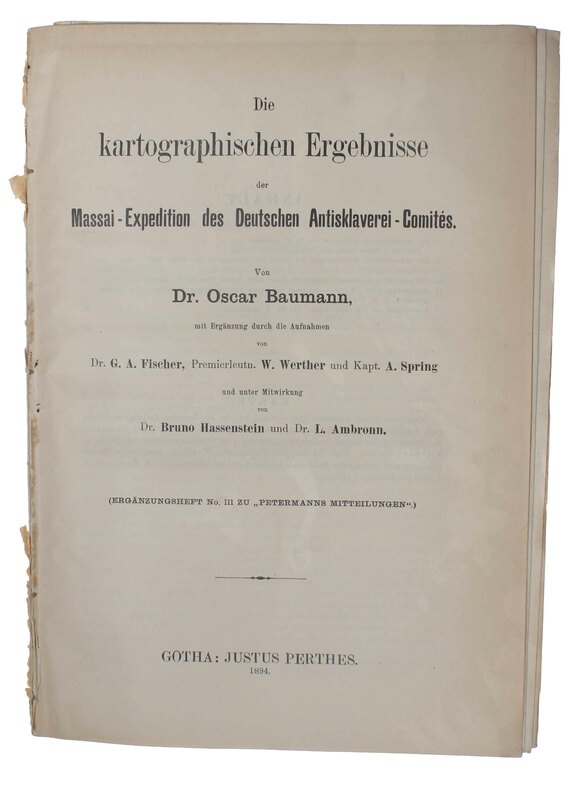
189446802Gotha, Julius Perthes, 1894. 4to. No wrappers. (2),56 pp. and 4 large folded maps.