12 878 résultats
200505023Baume-les-Dames, 1987 ; in-4, 255 pp., cartonnage de l'éditeur .
4363Paris, J. Migeon, 1886. In-folio, demi-chagrin noir, dos à nerfs orné avec titre doré. 108 cartes en couleurs des départements français et des colonies (y compris le planisphère des colonies françaises). Plats et coupes frottés, coins émoussés.
15296Paris, J. Migeon, 1878. Fort in-4; plein chagrin brun, dos à nerfs orné de caissons dorés, plats ornés d'encadrement dorés et à froid (rel. éd.).
185020953Migeon 1850 2 volumes in-4 oblong texte et atlas, demi-basane verte, dos lisse, filets et dentelles dorés, couvertures polychromes conservées pour le volume de planche. Petits frottements. Très bon exemplaire.
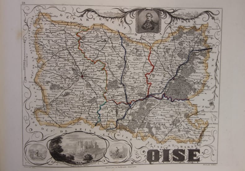
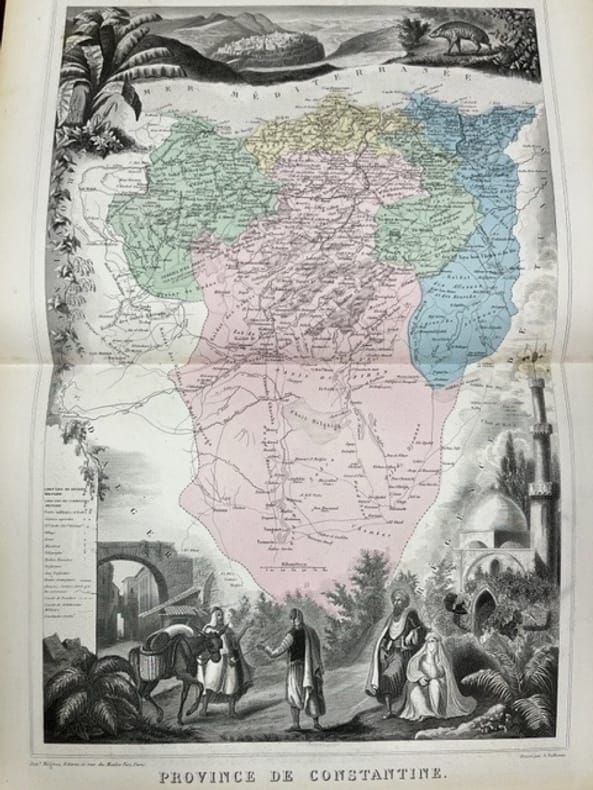
1869112924Paris-Montrouge, J. Migeon, 1869, gr. in-4° (26 x 35,5), 238 pp, texte sur deux colonnes avec encadrement typographique, 100 cartes hors texte réhaussées en couleurs et ornementées de vignettes en noir, dont certaines cartes à double page montées sur onglets (dont 3 cartes de l'Algérie : provinces d'Alger, de Constantine, d'Oran) et 3 cartes grand format dépliantes (France physique, administrative et routière, Plan de Paris, Chemins de fer et lignes télégraphiques de la France), reliure pleine percaline noire de l'éditeur, dos lisse à caissons à froid et titres dorés, encadrements à froid sur les plats, titre doré au 1er plat et décor doré au second plat, bon état
593600Paris, J. Migeon, 1878. In-folio, rel. de l'ép. demi-chagrin noir, dos à nerfs, caissons dorés ornés, plats ornés d'encadrements dorés et à froid ; titre illustré, 105 cartes h.-t. gravées et coloriées avec en rappel, paysages et portraits, toutes accompagnées d'un texte descriptif.
19217Versailles, Andrieux et Barreswil, s.d. In-4 oblong, 1 titre, 95 cartes, demi-basane havane, dos lisse orné de filets dorés (épidermures, rousseurs).
201302144, Editions de la connaissance , 1996 ; in-4, 302 pp., cartonnage de l'éditeur.
1999111950France Loisirs, 1999, in-4°, 304 pp, très nombreuses illustrations et plus de 150 cartes et plans en couleurs, tableaux chronologiques, lexique, biblio, index, reliure simili-cuir bordeaux de l'éditeur, jaquette illustrée, bon état
1965123241Hachette, 1965, in-4°, (28)-(2)-112 pp, 112 planches de cartes en couleurs, index, cartonnage illustré de l'éditeur, dos toilé, bon état
200816364Paris, A alexandre libraire, s.d. ; in-8 oblong, 70 pp., demi cuir frotté.
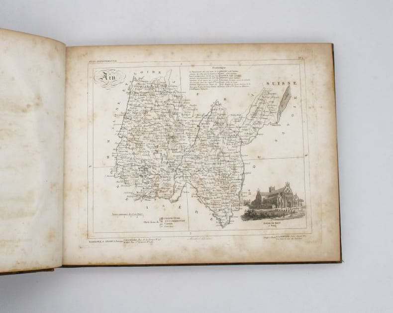
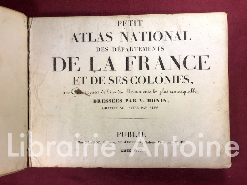
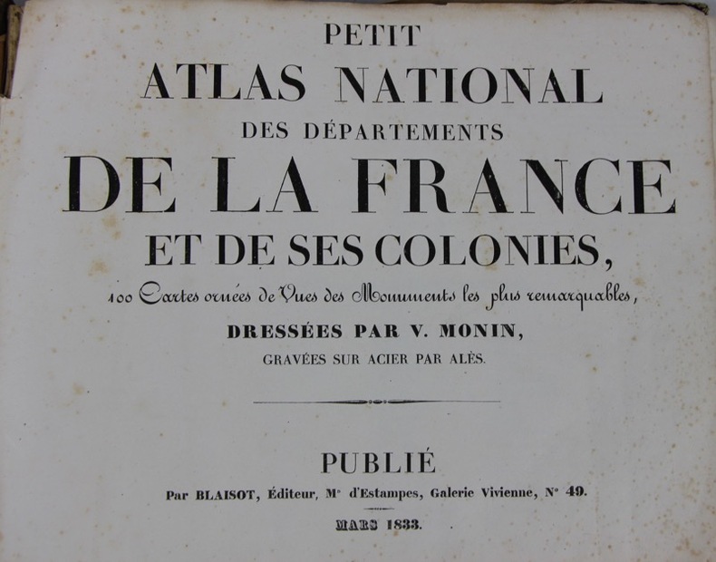
18331419Paris Blaisot 1833 In-8 oblong (26 x 35 cm.), 94 cartes gravées représentant les départements de la métropole et outre-mer, avec une petite présentation et une vignette gravée représentant un lieu ou un monument. Couverture cartonnée.
183331884Blaisot 1833 in-4 oblong, demi-basane brune ép., dos lisse orné de filets dorés, premier plat illustré, titre gravé & 100 cartes gravées sur acier. Quelques rousseurs. Reliure frottée, coupes usées.
19727Paris, Hachette & Cie, 1888. 1 vol. petit in-4°, demi-percaline rouge, plats illustrés en couleurs, 100 pp. ornées de grandes cartes en couleurs (dernier feuillet détaché et écorné).[D35]
200505263Rennes, Ouest-France, 1993 ; in-8, 48 pp., broché, couverture illustr. Départements et Territoires d'Outre-Mer.
200505262Rennes, Ouest-France, 1992 ; in-8, 48 pp., broché, couverture illustr. Nouveaux pays : Arménie, Azerbaidjan, Bélarus, Ukraine, Croatie, Slovénie.
21111Paris, chez Lattré, 1788. In-8, [1]-20-[4] pp., 28 cartes ou planches doubles, cartonnage vert muet, tranches mouchetées de rouge (cartonnage défraîchi mais solide, quelques petites déchirures et taches, parfois relié dans le désordre).
176651834P., Desnos & chez l'Auteur 1766 In-4, demi-basane brune, dos à nerfs, titre gravé, grand plan général dépliant et 34 planches sur double page, 28 ff.n.ch. de tables d. Petits frottements. Infimes rousseurs. Très bon exemplaire.
25368Paris, De Bure, 1789. 1 vol. in-4°, basane écaille, dos lisse orné de fleurons dorés, pièce de titre en maroquin brique, encadrement d'un triple filet doré sur les plats, tranches marbrées. Reliure de l'époque frottée, épidermures au dos, coiffe sup. élimée, coins émoussés. xlij pp. et 31 planches et cartes gravées en taille-douce, dont 16 repliées, par Guillaume de La Haye et Berthault, et 11 rehaussées en couleurs.
1978118369Cambridge, Cambridge University Press, 1978, gr. in-8°, xiv-319 pp, 2e édition revue et corrigée, 288 cartes en couleurs, index, broché, couv. illustrée, bon état (The New Cambridge Modern History, Vol. XIV). Texte en anglais
ORD-15076Paris. Ballard. 1760. In-16 (80 x 120 mm) plein maroquin rouge, dos à 5 nerfs entièrement orné, triple filet encadrant les plats et fleurs en écoinçons, gardes de papier dominoté à motifs en damier vert et or, 4ff. (titre, avertissement et catalogue des cartes) et 26 cartes doubles en couleurs, montées sur onglet. Les cartes contenues dans ce recueil ont été réduites par Rizzi-Zannoni qui a suivi principalement les cartes de M. D'Anville (d'après l'avertissement). Reliure un peu fatiguée, page de titre piquée, cartes en bel état. Bon exemplaire.
199243475Mansfield, Martino, o. J. (um 1990; Nachdruck der Ausgabe Washington 1909-1992). Gr.-8°. Zus. ca. 6000 S., OLwd.-Bde.
173017253Haarlem 1730. Small 8vo 16 x 10 cm. Bernardus Cleynhens Half textured red cloth ca. 1860 sewn on 2 tapes chemical-marbled sides in brown and blue. With 25 double-page engraved maps 2 overview maps the second serving as a key to the 23 numbered detail maps and an engraved plate with 8 scales all hand-coloured partly in outline. The 2 overview maps slightly wider than the others have a flap folded in at each side. Further with 1 rococo woodcut tailpiece 1 woodcut decorated initial and a fleuron on the title-page. 40 23 1 blank pp. plus maps and plate of scales. A surprisingly rare pocket atlas illustrating the theatre of the "tegenwoordigen" present war probably meaning the War of the Austrian Succession 1740-1748 but possibly the Seven Years' War 1756-1763. The title-page notes that it is suited for officers travellers and lovers of geography to carry in a pocket. The text in Dutch gives a geographic description only of "Duytsland" Germany including Austria Bohemia and a few other areas whereas the maps also cover the Low Countries the English Channel northwest France and to the east as far as Warsaw Krakow and Belgrade. The 23 detail maps were designed so that they could be assembled with the key map to make a single wall map whose cartographic image would measure 53 x 90 cm.With a contemporary owner's bookplate embossed stamp and library labels. With the text leaves somewhat browned not affecting the maps or the plate with scales and the first 2 leaves slightly worn but generally in good condition. A rare pocket atlas from the War of the Spanish Succession.l Koeman I Cle 1; STCN 2 copies; WorldCat 2 copies. hardcover
1770D18502Paris circa 1770. Paperback. Very Good. Chez Lattre Graveur Ordinaire de Monseigneur le Dauphin de Monseigneur le Duc d'Orleans et de la Ville. Engraved title-page dedication and 7 full-page engraved maps with original hand-color. 8vo format 10x6¾ inches original blue paste-paper wrappers light wear; minor worm track confined to the margins. A charming eighteenth-century traveler's guide from Paris to Compiegne. OCLC locates one copy listed under a different publisher. <br/><br/> paperback
1851D6GE1B01U79OMontpellier 1851. Contemporary bindings: vol. 1 red half goatskin with binder's/stationer's ticket of "Papeterie Sijas Montpellier" red textured paper sides "E.M." in gold on front board marbled endpapers Wolfe 159; vol. 2 black half goatskin black embossed paper sides "C. du M." in gold on front board marbled endpapers Wolfe 112; vol. 3 black sheepskin "C. du M." in gold on front board white watered-silk endleaves. Folio vol. 1 and large 4to 32 x 25.5. cm. vols. 2-3. Neatly written manuscripts on paper with 23 graphically vibrant maps coloured in outline with subtly shaded washes in grey for the coasts and numerous bright colours for political boundaries and with calligraphic headings. 3 volumes. A 3-volume historical manuscript atlas with beautiful manuscript maps the volumes titled: Atlas historique Souvenirs historiques and Tableaux et cartes. The Atlas historique contains finely calligraphed chronological tables displaying events in ecclesiastical history the history of the Roman Empire and France from the first century to 1850 followed by coloured double-page maps of France the Ottoman Empire Europe and the Roman Empire. The Souvenir historiques has the same structure but is solely devoted to the history of England Spain Germany and Italy covering the period from the fifth century to 1850 with coloured double-page maps of the British Isles the Iberian Peninsula the German states and Italy. The Cartes et tableaux is the most ambitious volume containing no fewer than 14 coloured double-page maps including two world maps maps of Africa Asia America Oceania Europe etc. and numerous chronological tables.The ink has sometimes left a browned shadow on the back of the leaves or facing leaves and occasionally eaten a small hole in the paper but the atlas is otherwise in very good condition. Bindings slightly chafed. A graphically vibrant French historical manuscript atlas. unknown