12 878 résultats
202103086Paris, Bottin, 1951 ; in-4, 693-593 pp., cartonnage de l'éditeur. Les 2 volumes. En 2 volumes, reliure frotté.
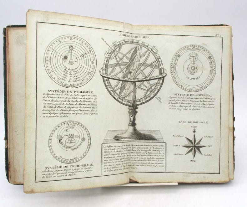
202204733A LONDRES, s.e., 1788 ; in-folio, cartonnage de l'éditeur. Qlq planches sont griboullées au dos de l'impression (sur 2 planches) contient 10 cartes de géographie ttes en bonne état par M. MENTELLE, historiographe de Mgr Cte d'ARTOIS & Cie. gravé par P.F. Tardieu - 93 planches de tactiques militaire et 74 planches de statistiques et divers - pour l'ouvrage de Mr le comte de Mirabeau, coiffes très abimé ainsi que les mors.
200708944A LONDRES, s.e., 1788 ; in-folio, cartonnage de l'éditeur. Qlq planches sont griboullées au dos de l'impression (sur 2 planches) contient 10 cartes de géographie ttes en bonne état par M. MENTELLE, historiographe de Mgr Cte d'ARTOIS & Cie. gravé par P.F. Tardieu - 93 planches de tactiques militaire et 74 planches de statistiques et divers - pour l'ouvrage de Mr le comte de Mirabeau, coiffes très abimé ainsi que les mors.
200505031Paris, Selection du rearder's digest, 1969 ; in-8, 52 pp., cartonnage de l'éditeur .
200505067Paris, Editions atlas, 1986 ; in-4, cartonnage de l'éditeur .
200505030Paris, Fernand nathan, 1990 ; in-4, 104 pp., cartonnage de l'éditeur .
200811008Paris, Le robert - l'express, 2004 ; in-8, 168 pp., broché, couverture illustr. Les grands enjeux démographiques, économiques, politiques, sociaux et culturel du monde contemporain.
201110817, Le robert en partenariat avec l'express, 2004 ; in-8, 167 pp., br.
201318254Paris, Hachette, 1990 ; in-4, 231 pp., br. Sous la direction de pierre vallaud.
200505026Paris, Fernand nathan, 1979 ; in-4, 112 pp., cartonnage de l'éditeur .
1899867341899. ATLAS. ATLAS OF DORCHESTER WEST ROXBURY AND BRIGHTON CITY OF BOSTON in one volume. Boston: L. J. Richards 1899. Folio. 22" Street index plus 40 double page maps measuring 32" x 22". Bound in 1/2 leather which is largely absent. Front board is detached. Interiors are clean and free from staining with the exception of some light red or graphite pencil annotations on a few plates and soiled end-papers. Plates with pencil annotations: 28 29 30 37 39. Maps printed in as many as seven colors. A good copy. unknown
1896867391896. ATLAS. ATLAS OF THE CITY OF BOSTON VOLUME 6 WEST ROXBURY. Philadelphia: G. W. Bromley and Co. 1896. Second edition. Folio 22.5". Contains street index outline and index map and 30 double-page maps measuring 22.5" by 32". Maps have only minor soiling to margins and occasional pencil annotations plates 1 and 27. FFEP and title page have large chips. Bound in half leather now mostly chipping or absent. In need of rebacking front board detatched. unknown
1890867351890. ATLAS. ATLAS OF THE CITY OF BOSTON Vol. 7 BRIGHTON MASS. Philadelphia: G. W. Bromley & Co. 1890. Folio. 22" Contains 30 double page maps - outline and index map and 29 plates - measuring 32" x 22" with only slight marginal staining near spine at head. Maps are drawn at scale of either 600 100 or 150 ft/inch. Bound in 1/2 leather missing much of leather covering and has detached and chipped FFEP. Front hinge very weak. unknown
1899867361899. ATLAS. ATLAS OF THE CITY OF BOSTON: SOUTH BOSTON. Philadelphia: G. W. Bromley Co. 1899. Folio 23". Street index and 33 double-page maps - outline and index map and 32 plates - measuring 32.5" x 22.5". Ffep missing. Outline and index map has tear near bottom where sheet folds. Plate 1 partly detached. Plates 29 30 31 are detached. Plates 2 and 32 have pencil annotations. Bound in 1/2 leather which is flaking. Interiors are bright some soil. Good. unknown
1906867321906. ATLAS. ATLAS OF THE TOWNS OF REVERE AND WINTHROP SUFFOLK COUNTY MASS. Boston: Whitman & Howard 1906. Folio. 22". Double page maps measure 32" by 22". All plans are drawn to a scale of 150 feet to one inch except index map. Includes street index outline and index map and 25 double-page maps. Interiors are in good condition with some light staining throughout at head and spine pencil or ink annotations to title page and plates 3 4 5 8. Exteriors are fair with heavily worn half-leather with black cloth boards and gilt-stamped edges. A good copy. unknown
1896867401896. ATLAS. ATLAS OF THE CITY OF CHELSEA AND THE TOWNS OF REVERE & WINTHROP MASS. Philadelphia: G. W. Bromley and Co. 1896. Folio 22.5". Contains street index outline and index map and 22 double-page maps measuring 22.5" by 32". Maps have only minor soiling to margins and occasional pencil annotations plates 12 17 18 21 and 22. Bound in half leather now mostly chipping or absent. In need of rebacking front board detached. As is. unknown
16875Neuchâtel & Paris, Attinger Frères, s.d. Gr. in-4°, 476p. Broché.
18513Neuchâtel & Paris, Attinger Frères, s.d. Gr. in-4°, 476p. Reliure pleine toile rouge.
19217Versailles, Andrieux et Barreswil, s.d. In-4 oblong, 1 titre, 95 cartes, demi-basane havane, dos lisse orné de filets dorés (épidermures, rousseurs).
201302144, Editions de la connaissance , 1996 ; in-4, 302 pp., cartonnage de l'éditeur.
178660376Antwerpen:: C. M. Spanoghe 1786. First Dutch translation. old paste-grain decorated paper boards sewn over tapes. Old ink ownership signature; a very attractive copy. 12mo. Engraved frontispiece 22 folding engraved maps with outline color and 2 folding plates. C. M. Spanoghe, hardcover
1922830191922. Ordnance Survey Southampton. 1922. Landscape 4to. Maroon cloth gilt to upper board. 24 linen-backed colour maps each measuring 75 x 35 cm. Extremities a llittle rubbed; a little mild soiling and some surface scratch marks to boards with discolouration to cloth at bottom edge of rear board; small white paint spots to spine. All maps clean and sound. hardcover
19727Paris, Hachette & Cie, 1888. 1 vol. petit in-4°, demi-percaline rouge, plats illustrés en couleurs, 100 pp. ornées de grandes cartes en couleurs (dernier feuillet détaché et écorné).[D35]
21111Paris, chez Lattré, 1788. In-8, [1]-20-[4] pp., 28 cartes ou planches doubles, cartonnage vert muet, tranches mouchetées de rouge (cartonnage défraîchi mais solide, quelques petites déchirures et taches, parfois relié dans le désordre).
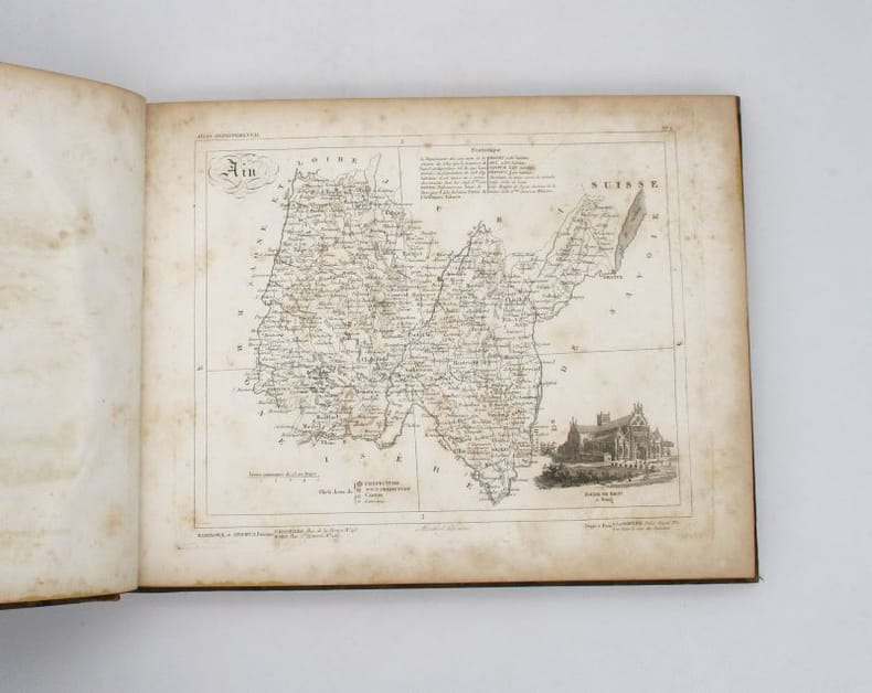
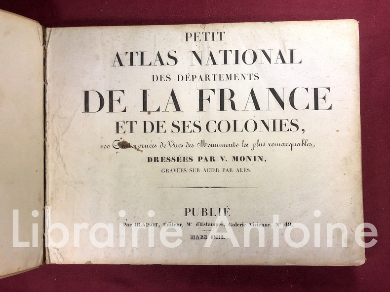
18331419Paris Blaisot 1833 In-8 oblong (26 x 35 cm.), 94 cartes gravées représentant les départements de la métropole et outre-mer, avec une petite présentation et une vignette gravée représentant un lieu ou un monument. Couverture cartonnée.