12 880 résultats
New Persian Original bdg. HC. Folio. (34 x 24 cm). In Persian with abstracts in English. 392 p., color and b/w ills. Tehran became a major city of Iran after 1554 A.D. during the Safavid period when Shah Tahmasb I, son of Shah Ismail, ordered the implementation of two large-scale public works. The first project was the construction of ramparts and moats surrounding the entire city, which defined the city's perimeters and increased its defense. The rampart consisted of 114 towers, representing the 114 chapters within the Holy Quran and enclosed an area of 4.35 km2. The second project was the establishment of the bazaar, the heart of the industrial and commercial activities of the city, surrounded by numerous holy shrines. However, it was 240 years later in the Spring of 1796 A.D. that Tehran became the national capital of Iran, during Agha Mohammad Khan Qajar's reign. 2016 A.D. actually marks the 220th year since Tehran became the political centre of Iran. The first known map of Tehran (page 18), a Russian spy map, dates back to 1826 A.D. The next Russian map of Tehran (page 24) from 1852 A.D. was translated into Persian and presented as a gift to Naser al-Din Shah Qajar (page 29). After the establishment of the military polytechnic school in 1851 A.D. and the arrival of Europe an military instructors, the importance of accurate topographical maps was recognized by the nation's leaders. The Austrian artillery trainer for cannons, August Karl Krziz, coordinated in 1858 A.D. the preparation of the maps of Tehran (page 39) and its surrounding area (page 35). This was the beginning of scientific cartography in Iran. By 1863 A.D., maps of Tehran Province for the purpose of tax collection (page 58) were being produced by engineer Abdul Rasool Khan. Tehran dramatically expanded after a huge flood in 1867 A.D. destroyed a large portion of the Safavid period ramparts and moats, after which Alexander Bohler, a French military instructor, designed a new and enlarged rampart and moat enclosure. Within four years between 1867 A.D. and 1871 A.D., Tehran grew from 4 .35 km2 to 19.75 km2 with these new constructions. By 1891 A.D., a highly detailed and technical map of Tehran (page 64) had been produced by Abdul Ghafar Najmolmoq. During the reigning years of Mozafar al-Din Shah, Mohammad Ali Shah, and Ahmad Shah, maps for Tehran postal services (page 126) and Tehran provincial delineation (page 127) were produced. During these years, the Russian, British and French prepared several geopolitical maps of the region including Tehran. For example, the map on page 323 reproduces a map prepared in 1892 A.D. by the British Survey of India at the scale of 1:506,880. In 1914 A.D., German publisher Wagner & Debes prepared a touristic map of Tehran (page 134). In 1922 A.D. the Ministry of Culture's Investigation Section prepared a map of schools in Tehran (page 138). During the Pahlavi I period (1925~1941 A.D.), modernization of Tehran became a national priority. By 1930 A.D. a map for street enlargement in Tehran (page 158) had been published. In 1932 A.D., the demolition of the Naser al-Din Shah Qajar period ramparts began simultaneous to further expansion of urbanized Tehran. The 1936 A.D. military map of Tehran (page 169) is testimony to the changes in the urban morphology of this period. The creation of a dedicated military cartographic service in 1935 A.D. marked an important milestone in the history of cartography in Iran. The 1937 A.D. urban development plan of Tehran (page 170) clearly shows the new streets, squares and urban development envisioned. The first known aerial photograph of Tehran dating from 1940 A.D. (page 177) displays the realization of this urban development plan. After the invasions by the Russians, British and Americans in 1941 A.D., cartographic activities in Iran suddenly increased. Sergeant Mohammad Reza Ghaffari privately published maps of Tehran [.] The above mentioned maps are a few representative samples of the over 270 maps
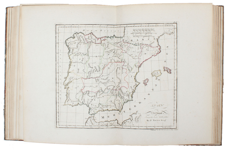
177851680(Edinburgh and London ?), (1778). Large 4to. (32 x 24,5 cm.). Contemp. hcalf. Raised bands. Title-label with gilt lettering. Top of spine lacks ca. 1 cm. of leather, bottom of spine ca. 1/2 cm. Spine rubbed, wear along hinges. Old owner inscription on top of title-page. Ex Libris Scholae Regis Edinensis. Engraved title-page and 23 double-page (numb. 1-23) and all with original handcolouring. The map of the world (2 hemispheres): printed size 25 x 46 cm. (sheet: 31 x 48,5 cm.). Printed on heavy paper, verso blank, all clean and fine.
177851680Edinburgh and London 1778. Large 4to. 32 x 245 cm. Contemp. hcalf. Raised bands. Title-label with gilt lettering. Top of spine lacks ca. 1 cm. of leather bottom of spine ca. 1/2 cm. Spine rubbed wear along hinges. Old owner inscription on top of title-page. Ex Libris Scholae Regis Edinensis. Engraved title-page and 23 double-page numb. 1-23 and all with original handcolouring. The map of the world 2 hemispheres: printed size 25 x 46 cm. sheet: 31 x 485 cm. Printed on heavy paper verso blank all clean and fine. <br/><br/><em>First edition. Not in Shirley. The copy described by Shirley I T.YOU - 1 a having another imprint dated 1782. All the maps in our copy is signed "Published as the Act directs 1st July 1778". Shirley mentions that the Atlas was doubtless intended for educational use. </em> hardcover
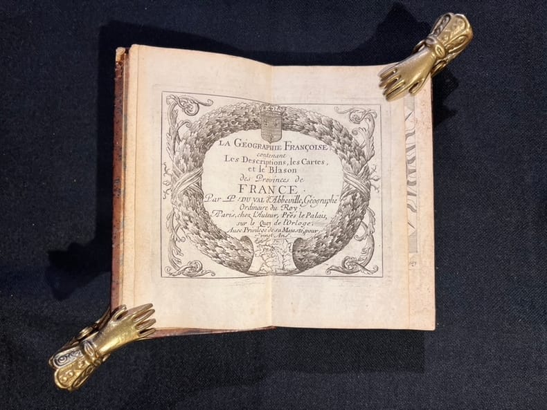
166721303A Paris, chez l'auteur, 1667. In-12 de 260-[2] pages, pleine basane marron du temps, dos à nerfs orné de filets et fleurons dorés.
16986703sans lieu [Amsterdam], sans nom [Pierre Mortier], sans date [circa 1698]. In-8 de [2]-30 pages, 25 cartes, 1 pl., 26 pages, couverture de papier marbré du temps (traces de plis au dos, coins un soupçon cornés).
DADAX1469873206LWW 2016-09-28. Fifth. hardcover. New. 8.75x2.75x11.00. Buy with confidence. Excellent Customer Service & Return policy. LWW hardcover
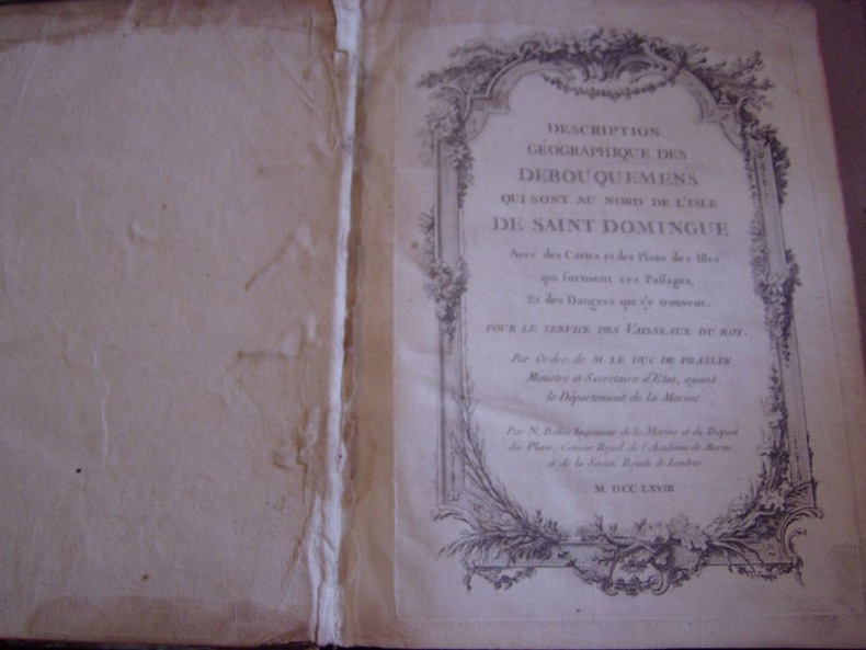
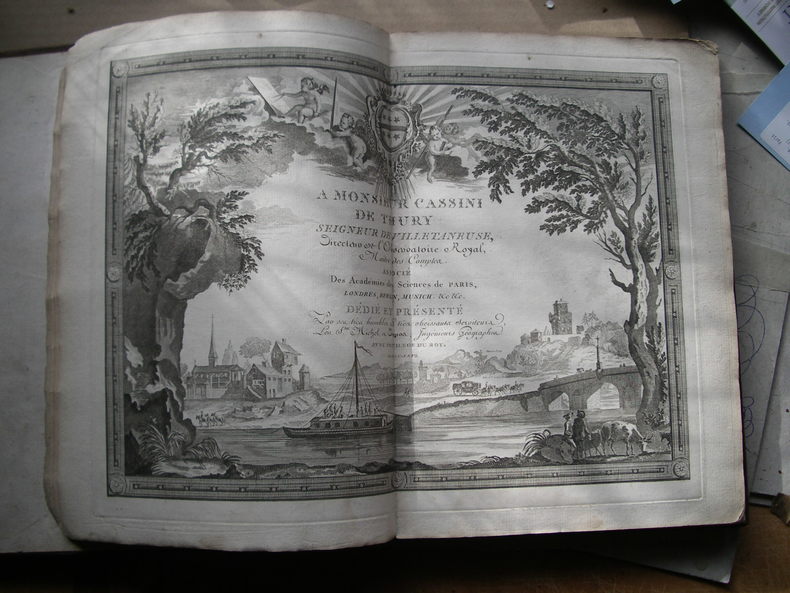
1768203001768 1768 ( A Versailles; Imprimerie du département de la Marine) , 1768. In/4 basane fauve marbrée, dos à nerfs orné d'ancres,152 p., page de titre gravée, page de titre imprimée manquante : 34 planches gravées (cartes) dont 15 rempliées,32 numerotées en continu,la 24 en double,et la carte des Isles Bermudes numerotée T1,N°48. Mouillure generale claire dans la marge superieure sur l’ensemble du volume,page de garde manquante. Armes sur le 2e plat,arrachées ou cachées sur le 1er plat.Coins usés.In-4 carré ( 250 X 195 mm. ) de: [5] ff. ( Titre, Titre gravé, Table des chapitres, Table des cartes et plans ), 152 pages, Joli bandeau allégorique signé Jean CHOFFARD et 34 cartes gravées dont 16 doubles ( 2 dépliantes ) par Nicolas BELLIN. Parmi les 34 cartes qui illustrent louvrage, une carte générale du Nord de St Domingue et de ses cinq débouquements, une du Canal de Bahama représentant le sud du Golfe du Mexique. Rare édition originale de ce routier des Antilles par le premier hydrographe de la Marine royale française, Jacques-Nicolas BELLIN ( 1703-1772 ). ( J. Polak 591 Sabbin, 4552 ).Conforme à l'exemplaire en ligne Gallica - Versailles.
9a395Wohl 4. Auflage. Glogau Flemming ca. 1856. 1 Blatt Inhaltsverzeichnis 109 statt 110 grenzkolorierte Karten original Halbleder Querformat-Folio Rücken mit Fehlstelle/berieben und bst./Bezugspapier teils fehlend/teils stark stock- und wasserfleckig/einige Randlasuren/die letzten 3 Tafeln mit Knickspuren letzte Tafel mit Kantenausbrüchen/Karten mit alter Handschrift numeriert/Tafel 110 Neu-Süd-Wales fehlt. - Vgl. Espenhorst S. 224. Enthält diverse Karten von Deutschland und Europa Amerika 1 Texas Asien Afrika Australien 2 - unknown
382310Copenhage Et Genève Chez Les Freres C. & A. Philiber 1763 Petit in-8 carré ( 180 X 125 mm ) de ( 2 ff.n.c. )-XXVIII-( 2 ff.n.c. de tables )-171 pages, plein veau fauve marbré, dos lisse orné de caissons et fleurons dorés, pièce de titre en maroquin olive, filet doré sur coupes, toutes tranches marbrées ( Reliure de lépoque ). EDITION ORIGINALE française bien complète de sa carte dépliante et de ses 10 gravures hors-texte. Feuillets roussis, la reliure est très fraîche, Rare.
1829160131829 un atlas, reliure demi-velin havane in-folio à coins (binding half calfskin in-folio with corners) (52,5 x 37,5 cm), dos long (spine without raised band), décoration or (gilt decoration) à filets et roulettes or (gilt lines and filets), compartiments à fleurons (compartment with floweret), fers spéciaux (special blocking stamps), titre frappé or (gilt title), roulettes en place des nerfs et en tête et en pied (fillets on the place of raised bands and top and at the foot of spine), dos frotté (spine rubbed), coiffes supérieure et inférieure manquantes (are missing the head and tail of the spine), charnières fendues (cracked joint) sur toute la longueur, papier marbré aux plats (cover with marbled paper), coins fortement écornés (corners strongly dog-eared), toutes tranches lisses (all smooth edges), 4 + 100 pages de texte (avec des rousseurs) puis 50 cartes gravées par Lallemand, en double pages montées sur onglet et colorées à la main excepté les 2 premières : systemes Planétaires and Planispheres Célestes qui sont en noir, trés légères rousseurs en marge des Cartes [(4),100 pp. and 50 double-page engraved maps all handcoloured in outline, except the 2 first (systemes Planétaires and Planispheres Célestes). Each map measuring ab. 45,5x60 cm. Text occasional a little brownspotted, maps fine and clean with only minor brownspots and mainly marginal], 1829 Paris Eymery, Fruger et Cie Editeurs,
181254863Paris Francois Buisson 1812. Large 4to. 34 x 25 cm. Contemp. hcalf. Gilt spine. Titlelabel with gilt lettering. Wear to spine and some leather at upper part of spine gone. Taped at foot of spine. 4111-errata pp. and 75 3 extra engraved maps all handcoloured in outline. The three extra inserted are: France Pologne Confederation Germanique. Scattered faint brownspots to textleaves. Maps clean with faint scattered marginal brownspots. <br/><br/><em>First edition. - Sabin 44159. </em> hardcover
181254863Paris, Francois Buisson, 1812. Large 4to. (34 x 25 cm.). Contemp. hcalf. Gilt spine. Titlelabel with gilt lettering. Wear to spine and some leather at upper part of spine gone. Taped at foot of spine. (4),11,(1-errata) pp. and 75 + 3 (extra) engraved maps, all handcoloured in outline. The three extra inserted are: France, Pologne, Confederation Germanique. Scattered faint brownspots to textleaves. Maps clean with faint scattered marginal brownspots.
184117957Paris J. Andriveau-Goujon 1841. Folio. Bound in full leather with a closing flap just like a briefcase. Slightly scratched and a few tears to binding. Titlepage with a tear no loss. Complete with 30 double-page ca 41x53 cm full handcoloured engraved maps. A few tears in centerfoldings very ligh brownspottings otherwise good. <br/><br/><em>Philipps No 324 listing an edition from 1838 but not this second edition . This fine engraved atlas comprises 10 historical maps and 20 recent 1841 among these Mappemonde North-and South America Asia Africa Europe etc. </em> hardcover
184117957Paris, J. Andriveau-Goujon, 1841. Folio. Bound in full leather with a closing flap just like a briefcase. Slightly scratched and a few tears to binding. Titlepage with a tear, no loss. Complete with 30 double-page (ca 41x53 cm) full handcoloured engraved maps. A few tears in centerfoldings, very ligh brownspottings, otherwise good.
182054816Weimar 1820. Folio. Image of maps: ca. 35 x 44 cm. Paper size: ca. 46 x 56 cm. Engraved title with outline of the maps title-page in French numbered as Section I. Comprising the Sections I-XXXVI XXIX and XXXII with a and b all but the General map in 2 parts not present. Some maps with markings in red and blue. One with dampstain in lower margin a few with minor traces of use but all intact. In all 38 engraved sheets. unknown
182054816Weimar, 1820. Folio. Image of maps: ca. 35 x 44 cm. Paper size: ca. 46 x 56 cm. Engraved title with outline of the maps + title-page in French numbered as Section I. Comprising the Sections I-XXXVI (XXIX and XXXII with a) and b), all), but the General map (in 2 parts) not present. Some maps with markings in red and blue. One with dampstain in lower margin, a few with minor traces of use, but all intact. In all 38 engraved sheets.
0486427331New. Brand new and still unused unknown
1837891931837. JAPANESE ATLAS Ichikawa Tokei. KOKUGUN ZENZU 2 volumes. Nagoya Edo Osaka Kyoto. Eirakuya Toshiro et al. Preface dated 1837. String-bound Japanese-style fukuro-toji printed paper title labels. Original yellow covers. Covers are a bit soiled with ownership labels. Internal occasional marginal worming. Printed in color woodblock throughout an interesting atlas of the traditional governing divisions of Edo-era Japan. unknown
1837891931837. JAPANESE ATLAS Ichikawa Tôkei. KOKUGUN ZENZU 2 volumes. Nagoya Edo Ôsaka Kyôto. Eirakuya Tôshirô et al. Preface dated 1837. String-bound Japanese-style fukuro-toji printed paper title labels. Original yellow covers. Covers are a bit soiled with ownership labels. Internal occasional marginal worming. Printed in color woodblock throughout an interesting atlas of the traditional governing divisions of Edo-era Japan. unknown books
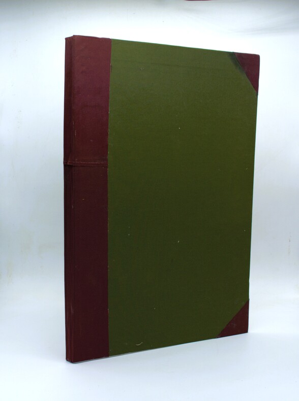
1926PHO-2298Paris, Commerce et industrie par L. de Bertalot, s.n., 1926. Grand in-folio (57x39cm) de [2] ff., 88 pp. (incomplet des pp. 81-88, Mouvement de la navigation maritime, Conclusion, Table des cartes) et 28 planches de cartes recto verso contenant 68 cartes numérotées 1-67 (complet) avec une carte numérotée 16 bis, dont 44 cartes historiques héliogravées ou en couleurs, certaines reproduisant des cartes anciennes, et 23 cartes politiques et économiques dessinées par l’auteur. Sans le frontispice. Cartonnage d’amateur moderne, dos et coins en toile bordeaux, plats recouverts de toile verte. Petites rousseurs éparses, quelques déchirures restaurées par endroits, légères traces de mouillures, perforations en marge inférieure de quelques planches.
1768130631768 basane mouchetée, dos à n. (mouillure marginale aux 3 premiers ff.). in-4, titre, frontispice, 1 carte, 18 cartes montées sur onglet la plupart dépliantes, 6 et 10 pp. Paris Au globe 1768
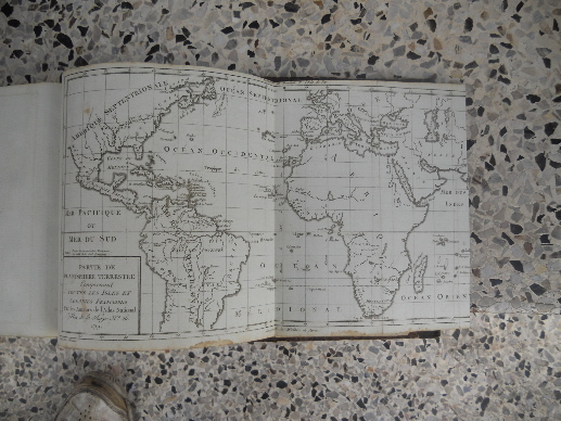
13931Paris au bureau de l'atlas national, rue de la Harpe 26, 1792. Les deux ouvrages sont relies dans la meme demi-reliure cuir vert. Format a l'italienne 19,50x26 cm, le papier du tome 2 est bleute, les cartes sont rehaussees a la main, de couleurs et in fine 3 sont depliantes. Les 3 cartes depliantes sont: "Partie de planisphere terrestre comprenant toutes les isles et colonies francoises", "Cartes particulieres des isles francoises en Amerique et aux Indes" et "Plan de la ville et environs de Pondichery".La reliure est dans un etat d'usage, l'interieur est frais. Quelques marques d'usage.Bon etat.
1802PHO-1648Paris, F. Buisson, et Giguen, an X – 1802. 2 volumes de texte in-8° (210x130mm), relié pleine toile époque, dos lisse. XXIV-385pp ; 417pp. et un Atlas In-4, broché, titre sur le plat contenant 14 planches gravées (vues, costumes) et une carte dépliante du détroit qui sépare l'Asie de l'Amérique. Bon exemplaire.
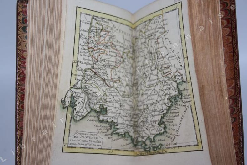
14412Paris, Lattré, 1764 ; et Paris, Butard, 1764 ; 2 parties en 1 vol. in-18 (12,8 x 8 cm). Plein maroquin rouge d'époque, dos lisse orné, pièce de titre verte, encadrement de triples filets sur les plats avec des fleurons dangles dorés, filets sur les coupes, roulette dorée sur les chasses, tranches dorées. Joli titre coloré, gravé par Longueil d'après Gravelot - 1 page d'échelle et 28 cartes doubles avec rehauts de couleurs - 1 f. (table). Suivi de : 4 ff.-213 pp.- 4 ff. (catalogue du fonds Lattré). Bel exemplaire, dans une belle condition.
1835160011835 un volume, reliure demi-veau havane grand in-folio à coins (binding half calfskin in-folio with coins) (33 x 46 cm), reliure de l'époque, dos long (spine without raised band), décoration or (gilt decoration) à filets et roulettes or (gilt lines and filets), fers spéciaux (special blocking stamps), titre frappé or (gilt title), papier marbré aux plats (cover with marbled paper), toutes tranches lisses (all smooth edges), atlas de 86 cartes doubles pages en noir (une par département) montées sur onglet + 1 Tableau Géographique et Statistique de la France imprimé des deux côtés en noir en double pages + 1 Carte d'assemblage du Nouvel Atlas National en double page et colorée, cartes gravées par Dumortier, 1835 Paris Dauty Editeur,