VUILLEMIN et POIREE ErnestLivre Rare Book
12 880 résultats
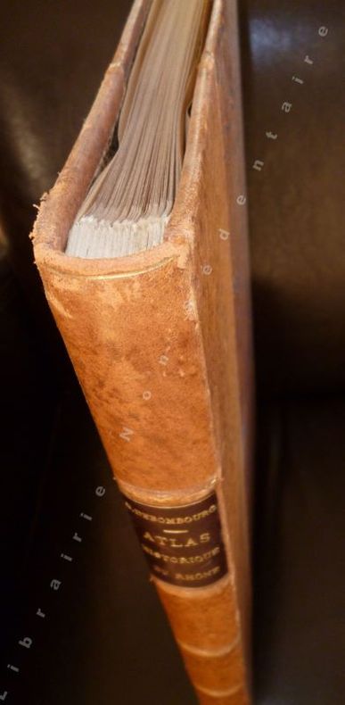
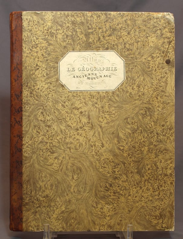
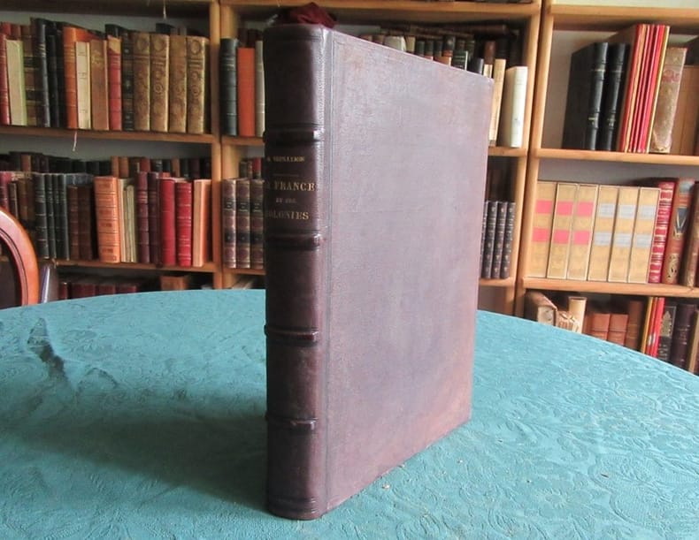
187219681Atlas illustré de cent-cinq cartes en couleurs dressées d'après les cartes de Cassini, du dépôt de la guerre, des ponts et chaussées et de la marine par M. Vuillemin.Texte rédigé d'après les documents officiels et sur un plan entièrement nouveau réunissant en forme de tableaux :1/ la division administrative, politique, judiciaire, religieuse, militaire.2/ les vicissitudes historiques.3/la biographie.4/ la statistique.5/ les ressources agricoles, industrielles, commerciales.6/les établissements d'instruction ou d'utilité publique.7/ la description détaillée de tous les chefs-lieux d'arrondissement et des lieux remarquables.8/ enfin les curiosités et la physionomie morale,de chaque département et de chaque colonie française par Ernest Poirée.Paris, J. Migeon - Edition de 1872. ( 96 cartes des départements dont 2 sur Paris, 10 cartes des colonies et 1 carte de la France), soit 107 cartes au total.Reliure demi-chagrin brun de l’époque. Dos à nerfs avec titre et auteur. Pas de rousseur. Très bon état. Format in-4° (36x27).
198843516Stuttgart : Enke, 1988. 304 S. mit Ill. 31 x 26 cm, Werkstoffeinband ohne Schutzumschlag im OSchuber [4 Warenabbildungen]
177897379HBAmsterdam:, de Erven van F. Houttuyn, 1778. 3 Bll., 190 Seiten, 9 Bll., XXII altkolorierte gestochene Kartenblätter, schlichter Lederband der Zeit, 15,5 x 9,5 cm.
11840- Lyon, Imprimerie de Louis Perrin 1862 - Grand In Folio, reliure demi-cuir contemporaine , non paginé - 66 feuilles , XLI exemplaire intégralement assemblé sur onglet et légendé recto verso- Index, Table. Excellent exemplaire, frottements d'usage - l'ensemble de la pagination exempt de rousseurs.
180726441Paris Tourneisen 1807 -in-12 broché un volume, broché in-quarto (paperback in-4) (31 x 23 cm), recouvert d'une fausse couverture muette d'attente d'époque fanée, sans dos (A RELIER), toutes tranches non rognées, Atlas orné de 28 illustrations (gravures, cartes et plans) dont 5 dépliantes gravées sur cuivre en noir de bâtiments, monuments et paysages espagnols [une grande carte dépliante des routes d'Espagne (395 x 490 mm), un plan de Madrid (225 x 345 mm) par P.F. Tardieu, un plan de la baie de Cadix par P.F. Tardieu, 12 planches de corridas, vue double page de Gibraltar par Tardieu (200 x 310 mm), carte pleine page de l'attaque des batteries navales devant Gibraltar et une de l'Alhambra et 2 plans pleine page d'architecture espagnole], légères traces d'humidité ancienne en marge des 3 dernières gravures, 1807 Paris chez Tourneisen Editeur,
170526574Dédiée à Monseigneur Jean Paul Bignon, Abbé de St Quentin, 1 vol. in-4 reliure de l'époque plein vélin vert, dos à 5 nerfs, Chès le Sr. Robert, Geographe du Roy, rue St jacques a St Paul, Paris, s.d. [ privilège général daté du 8 mars 1704 ], 9 ff. et pp. 2, 4-5, 8-9, 22-23, 25-86, 88-93, 95-106, 112-139 [ sans manque dans le texte, les manques dans la pagination sont imputables à l'absence des 34 planches qui s'y inséraient - on note une erreur de pagination : les pp. 131, 133 et 134 paginées 331, 233 et 234 ]
1970129115London: Thames and Hudson 1970. Hardcover. Fine. London Thames and Hudson 1970s facsimile edition/ 1645 and 1654. Folio xvi pages plus 115 double-page maps 5 in colour and 2 facsimile colour title pages all plates printed one side of each leaf only. Half morocco and cloth; tiny light mark to the leading edge; endpapers slightly discoloured by the leather turn-ins; essentially a fine copy with the lightly scuffed slipcase. Number 26 of only 500 copies; with an introduction by R.V. Tooley. Thames and Hudson hardcover
2013SKU0206587CRC Press 2013-06-25. Hardcover. Good. Textbook May Have Highlights Notes and/or Underlining BOOK ONLY-NO ACCESS CODE NO CD Ships with Tracking CRC Press hardcover
10626-1469873206Paperback. New. Book Condition is in New Paperback Original Edition. Shipped Same Day. We do not ship APO and FPO. Will be dispatched fast. Please send me an email if you have any questions. 100% Satisfaction. paperback
2015x-1138789593Routledge 2015. Hardcover. New. 179 pages. 9.25x6.25x0.75 inches. Routledge hardcover
2013SKU1754888CRC Press 2013-06-25. hardcover. New. 7x2x10. New Book Ships with Tracking CRC Press hardcover
Very Good English Original b/w portolan chart. Folded. A little foxing and some pencil markings and notes in Ottoman script in its period. Oblong double elephant folio. (70 x 102 cm). In English. Bosphorus to Kerempeh from the Russian survey of 1834 with additions and corrections by Commander W. J. L. Wharton., R. N. 1872-80. It's written 'London published according to Act of Parliament at the Hydrographic Office of the Admiralty Jare. 16th 1854. Also shows Killa Bay (Shile Bay) from a survey by Lieut. Comm. W. R. Pristen and the midshipmen of H. M. S. Royal Sovereign, 1920. Topography partly from a Turkish map. Up side of map, engraved a view from sea of entrance of the Bosphorus, Rumili (sic. Rumeli) Lighthouse and environment with several hills. And also shows Amastra (Ancient Amastris) from Russian surveys, 1834-41; Kosku Bay from a surbey by Capt. Spratt R. N. 1854; and Sungul Bay (Zonguldak) from the Heraclee Companys plans to 1915. A rare navigation chart.
181021142Paris, Desray, 1810. VII, 161 S. 49 altkolorierte Kupferstichkarten. Quer-Kl.-4°. HLdr. der Zeit mit Rückenschild (bestoßen und beschabt). [5 Warenabbildungen]
184624018Paris 1846. OHLdr. d. Zt. mit mont. Deckeltitelschild. 2 Bl. (Titel, Inhalt) und 37 doppelblattgr. gest. Tafeln, meist mit ankolr. Karten. 2°. Einband an den Kanten bzw. Ecken bestoßen. Durchgehend etwas stockfl. Eine Karte im Rand mit Anmerkung von alter Hand. Insgesamt gut erhalten.
83114Dunod Dunod, 1904, 48 planches, demi-basane, 37.5x29 cm, reliure frottée, un mors interne fendu, petits manques de papier le long de la page de garde, intérieur propre pour le reste, pas de rousseurs.
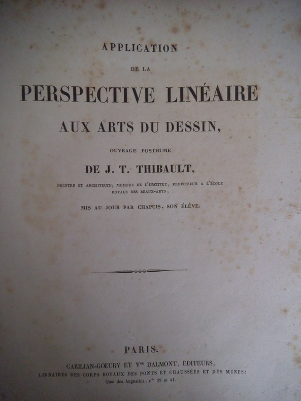
2211ouvrage posthume mis à jour par CHAPUIS son élève.Deux volumes petit in folio carré demi-cuir bleu titre filet dorés volume 1:texte,faux-titre,portrait gravé de l’auteur par F.GIRARD(1827)d’après le dessin de F.GIRARD 1808 frontispice gravé par DORNIER(1821)d’après THIBAULT XV 168 pages, Volume 2 atlas;suite de 53 planches gravées par Ambroise TARDIEU Thierry LEMAITRE d’après THIBAULT Carillian Goeury & V Dalmont éditeur 1827 ex-libris. rousseurs éparses habituelles(DORNIER Alexandre Charles graveur né à Paris en 1788 donna des planches pour la description de l’Egypte,pour le voyage de L’Espagne)
192955692Portland OR & Tacoma WA: Metsker the Map Man 1929. Oblong atlas folio. 18 x 14.5 in. 45 leaves cyanotype blueprints. Including 44 detailed blueprint plat maps consistently dated 1929 1 large folding key map sized 24.5 x 14.25 in. Publisher’s flexible simulated calf post-binder gilt lettering title stamped on front cover burgundy-coloured silk more pastedowns neat typed label affixed to upper fore-edge of spine minor rubbing shelfwear NF copy. First edition thus of this exceedingly scarce Marion County Metsker plat map atlas providing invaluable historical and genealogical data for 1920s Salem Turner Silverton Stayton and as far north as the area around Aurora Oregon. The index provides specific names and locations for Donation Land Claims Fruit Farms and Tracts including logging and sawmill tracts as well as cities towns and suburban additions. Metsker 1881-1966 civil engineer and mapmaker began working as a teenager with his father in a Winlock WA sawmill by 1900 and later by 1910 ahd become a draftsman in an engineering office in Tacoma WA followed during the next 15 years by stints at engineering firms in Seattle Tacoma and Portland before striking out on his own as a mapmaker surveyor and mapmaker during the Roaring 20s. Metsker’s maps were sold by subscription and updated on an ongoing basis so the subscribers were supposed to throw out the earlier versions of the maps and replace them in the succeeding decades. They all received heavy use and the earliest versions created in the 1920s and 1930s are by far the scarcest of the atlases produced by the firm. Worldcat locates 3 copies of the 1929 Multnomah County Library OHS State Library of Oregon. Metsker the Map Man, unknown
18994714Cleveland Ohio: American Atlas Company 1899. First Edition . Hardcover. Very good-. Atlas folio 236pp. illustrated. Front board and title page detached but present. Internally structurally sound with a sturdy nailed binding. Internally quite bright and clean especially the color maps which are all in excellent condition. A tide mark affects a nice chunk of pages in the directory not affecting readability or the maps. To call this turn of the century directory of Trumbull County exhaustive would be an understatement - truly a granular and visually appealing record of life in this area of northeast Ohio around the time of its manufacturing growth. Though the front board is regrettably detached this is still a very nice copy overall. American Atlas Company hardcover
2013SONG1439880212CRC Press 2013-06-25. 2. hardcover. Used: Good. 2.01x7.01x10.00. Buy with confidence. Excellent Customer Service & Return policy. CRC Press hardcover
Includes CD. Very faint edgewear to DJ along top edge. Else fine. ; In 102 full-color maps spread over 175 pages, the Barrington Atlas re-creates the entire world of the Greeks and Romans from the British Isles to the Indian subcontinent and deep into North Africa. It spans the territory of more than 75 modern countries. Its large format (13 1/4 x 18 in. Or 33.7 x 46.4 cm) has been custom-designed by the leading cartographic supplier and is unrivaled for range, clarity, and detail. Over 70 experts, aided by an equal number of consultants, have worked from satellite-generated aeronautical charts to return the modern landscape to its ancient appearance, and to mark ancient names and features in accordance with the most up-to-date historical scholarship and archaeological discoveries. Chronologically, the Barrington Atlas spans archaic Greece to the Late Roman Empire, and no more than two standard scales (1: 500,000 and 1: 1,000,000) are used to represent most regions. Since the 1870s, all attempts to map the classical world comprehensively have failed. The Barrington Atlas has finally achieved that elusive and challenging goal. It began in 1988 at the University of North Carolina, Chapel Hill, under the direction of the distinguished ancient historian Richard Talbert, and has been developed with approximately $4.5 million in funding support. The resulting Barrington Atlas is a reference work of permanent value. It has an exceptionally broad appeal to everyone worldwide with an interest in the ancient Greeks and Romans, the lands they penetrated, and the peoples and cultures they encountered in Europe, North Africa, and Western Asia. Scholars and libraries should find it essential. It is also for students, travelers, lovers of fine cartography, and anyone eager to retrace Alexander's eastward marches, cross the Alps with Hannibal, traverse the Eastern Mediterranean with St. Paul, or ponder the roads, aqueducts, and defense works of the Roman Empire. For the new millennium the Barrington Atlas brings the ancient past back to life in an unforgettably vivid and inspiring way. ; Elephant Folio 23" tall; 272 pages; Overseas Shipping will be charged extra shipping fees.
ria9781466582927_inpHardcover. New. New Book; Fast Shipping from UK; Not signed; Not First Edition; The detection and/or isolation and identification of pathogenic microorganisms is critical for the laboratory diagnosis of infectious diseases. With growth-dependant methods providing reliable means for identifying pathogens traditiona hardcover
ANAIS-1596090405Chamberlain Bros. paperback. Good. 7.1x1.6x10.2. Buy with confidence. Excellent Customer Service & Return policy. Chamberlain Bros paperback
178185108Sans éditeur 1781 Les cartes sont dressées par M. Bonne, Ingénieur Hydrographe de la Marine. In-4, reliure, titre gravé en double page, 37 doubles cartes gravées montées sur onglets. et une planche 19e siècle contre collée. Reliure restaurée amateur, recouverte de papier kraft, gardes fragilisées annotations à l’encre d’époque et au crayon papier. Manque 7 cartes sur 44. Mouillures. Rousseurs.
184015601A Paris, chez l'auteur, successeur de Robert de Vaugondy, 1840. In-folio, une page de titre et une d'Avertissement, suivies des planches, demi-basane mouchetée, dos lisse et muet, pièce de titre contrecollée au premier plat.
188529871885 reliure plein chagrin noir in-folio, dos 5 nerfs - titre frappé or et très beaux caissons -, plats décoré or et à froid (or passé), tranches jaspées, 108 cartes en couleurs et en regard sous forme de tableaux un texte présentant chaque département sous ses différents aspects (vie politico-administrative - secteur dactivité - histoire etc.), 1885 Paris Migeon Libraire-Editeur