12 878 résultats
182525408Weimar, in Verlage des Geographischen Instituts, 1825-28. Folio. Each 49x60 cm. 5 steel-engraved maps depicting the 5 parts of Prussia. All Handcoloured in outline. Cont. blank wrappers, wrappers partly lost. All maps with broad margins with use and tears, one tear reaching engraved surface. Some soiling. The last 2 maps dampstained in right corners.
187957673Gotha, Justus Perthes, (1879-80). Folio-oblong. Contemp. hcalf. Gilt spine. Gilt lettering. Spine somewhat worn. Corners bumped. Wear to edges.Bound in front is ""Vorbemerkungen zu Stieler's Hand-Atlas"" 8 pp. Inhalt (2) pp. and 95 (incl. title-page) engraved and coloured maps. Maps dated 1879/1880, some undated. Maps clean and fine, only few minor marginal brownspots.
187357680Gotha, Justus Perthes, (1873-75). Folio-oblong. Contemp. hcalf. Titlelabel with gilt lettering. Spine somewhat worn and frontcover detached from spine. Stamp on title-page.Bound after title-page ""Vorbericht zu Stieler's Hand-Atlas"", 11 pp. Containing 89 engraved maps in outline colouring (incl. title-page, 1-24, 26-90), A faint dampstain to some maps in upper right corners. Some underlining to German cities. Maps dated 1873, 1874 a. 1875 (mosly 1873).
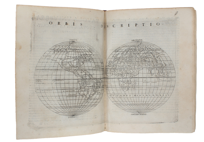
157418848Venetia (Venice), Giordano Ziletti, 1574-(73). 4to. Hcalf from ab 1820. Gilt back. Slight rubbing to spine. (78),350 pp. and 65 double-page engraved maps with text on verso of plates (130) pp,56,65 pp. 6 textlvs. at end with brownspots in right margin, sometimes a little browning to pages, few brownspots and a few textlvs. with minor wormtracts. Complete with all 65 maps called for, each measuring ab. 19 x 26 cm. A great part of the maps have some background shadowing from the printers ink, mainly due to the fact, that this is the third Ruscelli-edition, where the plates have been used before. 3 printer's wood-cut devices and 20 smaller and larger woodcuts in the text. 2 woodcuts with Ptolemy shown observing.
171534417London, Printed for William Mount and Thomas Page on Tower Hall, no date (c. 1715). Folio. 53X35 cm. Cont. hcalf with marbled boards. Rebacked and recornered in old style with raised bands. Engraved typographical titlepage with a large engraved vignette showing the English King's Coat of Arms. With all 15 double-page engraved sea-charts (numbered (1)-(15) in lower right corners). Neat repairs to inner margins of free endpapers and titlepage. Some browning to charts. Chart 5 (45x75,5 cm) having the right margin shaved reaching the printed frame.
RO80053867CHEZ L'AUTEUR. Non daté. In-Plano. En feuillets. Etat d'usage, Livré sans Couverture, Dos satisfaisant, Pliures. Carte dépliantes de 38 / 55 cm, en noir et blanc. Quelques traits au crayon bleu. Quelques notes au crayon à papier en marges. Accrocs en marges.. . . . Classification Dewey : 912-Atlas, cartes et plans
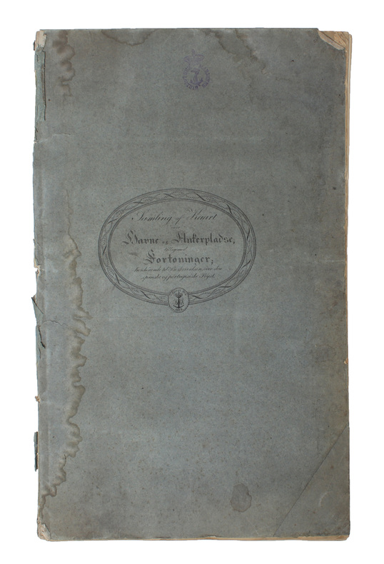
181956069(København), 1819. Folio. (44 x 27 cm.). Original blue wrappers with some dampstains and rear somewhat soiled. With the engraved oval title on upper wrapper. In a later hcloth portfolio. With 19 (all) engraved maps, charts, plans, coastal profiles of which 7 are double-page. (Maps numbered in letters A-K, profiles numbered I-IX).The maps depicting the main harbours (with townplans) and anchorages. Maps with a few small marginal closed tears.
45963Lyon Chez Jean-Marie Bruyset, Père é Fils 1784 in 12 (17x10) 1 volume reliure pleine basane fauve de l'époque, dos à nerfs orné, caissons dorés, pièce de titre de cuir beige, dos lisse, tranches teintées bleu, frontispice gravé, XI et 331 pages, avec 24 cartes gravées enluminées. Bel exemplaire
1807c50411807 Paris, Egron, Arthus-Bertrand, Chaumerot, Genets, Lenormant, 1807 ; Atlas in-folio, plein cartonnage ancien muet recouvert de papier à fond noir moucheté de bleu et blanc.Titre, avec au verso la liste des planches ( 25) et 26 planches à double page montées sur onglet.Comme le signale la BNF une planche a été ajoutée " Plan de Combat Naval d' Ecnome " en noir.Annotations manuscrites au verso du titre.Le cartonnage est usagé avec manque au bord externe du 1er plat, les onglets sont jaunis avec travail d'insecte, légère trace jaune au centre ( pli) de certaines cartes, une seule avec très petits trous au pli, trace de mouillure à 3 cartes, taches rousses ou piqûres en marge de quelques cartes.Les cartes sont datées pour la plupart de 1738 ,1739, 1740, ou 1741, avec légende " pour servir à l' Histoire Romaine de M. Rollin, par Mr D'Anville", le plan de Syracuse est daté de 1800.De format 46 x 32 ou 46 X 60 ( pour les cartes à double page), dans de très frais et beaux coloris d'époque.
c2237London,W.&A.K.Johnston Limited,sans date (vers 1910); in-4°,pleine toile éditeur beige illustrée et imprimée en noir et or au 1er plat,dos muet; 2ff.,6pp.(de texte,dont Index des noms).Avec 16 planches hors texte en couleurs : cartes et plans.On a joint de chez le même éditeur une carte " Palestine in time of Christ " en noir, carte volante in-4°,repliée.
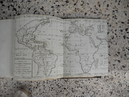
13931Paris au bureau de l'atlas national, rue de la Harpe 26, 1792. Les deux ouvrages sont relies dans la meme demi-reliure cuir vert. Format a l'italienne 19,50x26 cm, le papier du tome 2 est bleute, les cartes sont rehaussees a la main, de couleurs et in fine 3 sont depliantes. Les 3 cartes depliantes sont: "Partie de planisphere terrestre comprenant toutes les isles et colonies francoises", "Cartes particulieres des isles francoises en Amerique et aux Indes" et "Plan de la ville et environs de Pondichery".La reliure est dans un etat d'usage, l'interieur est frais. Quelques marques d'usage.Bon etat.
6589Paris, Perrin, 1976, in-12 cartonnage éditeur, 288 pp, nombreuses illustrations. Bon état.
18602072[Vers 1850-1860]. 1 vol. in-folio oblong, (29,5 x 52 cm) ; [37] pl. lithographiées montées sur onglets dont 8 dépliantes. Cartonnage couvert de papier vert, dos lisse et muet. Deux plis au premier plat, perte de papier au dos, coupes frottées. Quelques rousseurs sur une petite moitié des plans.
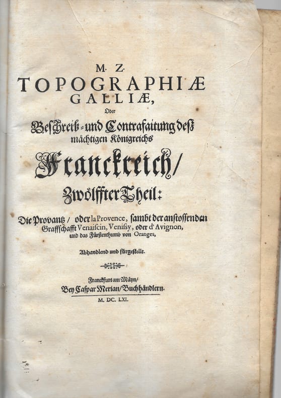
166178701 plaquette petit in-folio comprenant 9 cartes, plans et vues. Broché Bon Frankfurt Merian 1661 1 plaquette petit in-folio
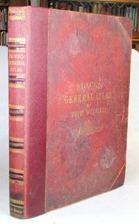
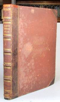
187652192Edinburgh: Adam and Charles Black 1876. Folio. 32 70 pp. Publisher's gilt lettered cloth boards rebacked preserving much of the original leather spine. Illustrations numbered 1-56; a frontispiece of "The Flags of All Nations" plus 29 double page and 23 full page colour maps - complete despite the curious numbering system some double maps feature two numbers and others one collation also includes two bis maps. Covers very worn and faded but solid due to the reback the frontispiece with some wear and tear consolidated by being laid down at some point a few of the early maps with repaired marginal tears map 13 Ireland with a longer repaired tear across one half dampstaining to the lower edge throughout. Edinburgh: Adam and Charles Black unknown
186552198Edinburgh: Adam and Charles Black 1865. Folio. 32 70 pp. Publisher's brown half morocco over cloth boards spine with raised bands gilt lettered direct to one panel cursive gilt lettering to the upper cover early owner's inscription to the front pastedown. Frontispiece of "The Flags of All Nations" plus 57 maps - 31 double page and 26 full page including a supplementary map of the borders of central Europe. Covers worn but sound some rudimentary repairs to the spine ends and the hinges similarly reinforced a number of maps with lightly pencilled 19th century annotations to the margins and/or their versos the contents mostly in decent shape. Edinburgh: Adam and Charles Black unknown
5f4764Justus Perthes Gotha 1856. 1 Titelblatt 2 S. Vorwort und 23 Kartenseiten mit 25 Karten quart-quer Einband fehlt/fleckig/gebräunt/Titelblatt mit kleinen Eckeinrissen/. unknown
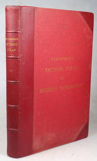
189643355London: Edward Stanford 1896. Second edition small folio iii leaves followed by 38 double page coloured maps plus a 104 pp index at the end. Marbled endpapers. Original red half morocco a.e.g. some faint rubbing otherwise very good. London: Edward Stanford unknown
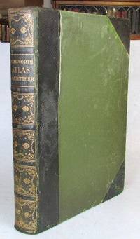
190752208London: The Amalgamated Press c. 1907. 4to. viii 32 284 pp. Contemporary possibly publisher's green half morocco over green cloth sides spine gilt top edge gilt. 3 colour plates of flags 210 map colour sheets mostly comprising double page maps but including single page maps and plans the 32 pages towards the rear also featuring numerous colour maps and diagrams. Covers worn but sound the front hinge weakened though it is still holding contents generally pretty good. London: [The Amalgamated Press] unknown
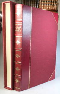
199937957London: Times Books; The Folio Society 1999. Limited edition no. 810 of 1000 copies folio 67 249 220 4 pp. 123 double page and one single page coloured map. Maroon half goatskin slipcase a couple of minor marks to the spine ends otherwise a lovely copy. (London: Times Books; The Folio Society unknown
318424Edinburgh: W. & A.K. Johnston nd. 24th Edition 240000th. With a tipped in 1842 Map of South America as Frontispiece. Folio. Bound in three quarters modern half brown mottled calf. Fine. 24th Edition 240000th. With a tipped in 1842 Map of South America as Frontispiece. Folio. W. & A.K. Johnston unknown
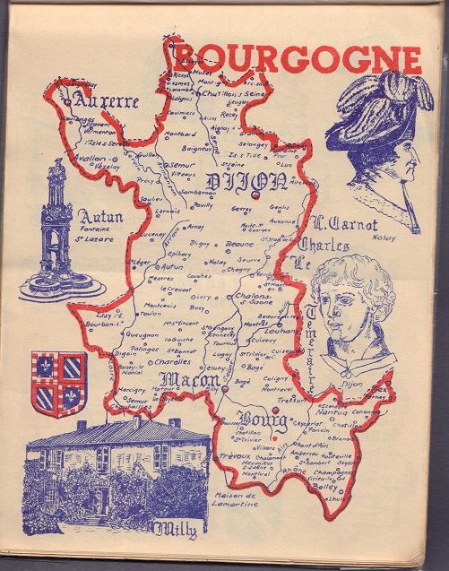
ORD-19973Tunis. Litho Ch. Weber. sd ca 1945. Plaquette in-8 à l'italienne (218 x 165 mm) brochée, titre en grandes majuscules rouges et bleues dans un cadre de mêmes couleurs. Ensemble de 9 cartes de provinces en rouge et bleu sur fond blanc, suivi de 9 cartes des mêmes provinces en rouge brun et bleu pâle sur fond jaune, toutes ornées de blasons et de monuments. Cartes au 1500000e. Cachet de la Croix Rouge sur la couverture et la 1ère page blanche, trace de pli vertical, petits défauts mais tràs bon état des cartes. Document fragile et rare.
189776793Washington DC: Department of Agriculture Weather Bureau 1897. First edition thus Oblong octavo 6 1/2 x 4 5/8 inches. 3 pp. of text printed in orange 12 full page Prang chromolithographs after Rudolf Cronau. Descriptive text on the opposing versos. Publisher's flexible brown cloth with black lettering. An excellent copy.These Prang lithos of clouds were used in a variety of government publications but all are hard to come by. Department of Agriculture Weather Bureau hardcover
1991LFA-126719979Un ouvrage de 635 pages, format 130 x 195 mm, illustré, relié cartonnage couleurs, publié en 1991, bon état
1988LFA-126720275Un ouvrage de 88 pages, format 215 x 285 mm, illustré, relié cartonnage couleurs, publié en 1988, Editions Prodige's, bon état