ANDRIVEAU-GOUJON, E.MareMagnum

12 889 résultats
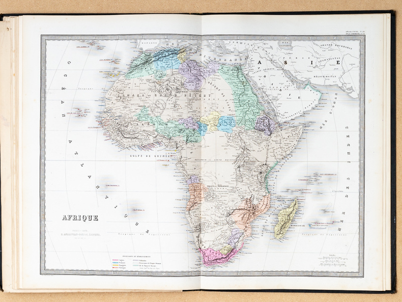
1 vol. in-folio reliure demi-chagrin noir, Andriveau-Goujon, s.d. [ circa 1876 ], 2 ff. et 32 grandes cartes doubles en couleurs Etat très satisfaisant (la carte 11 manquante a été rajoutée par une carte d'un autre exemplaire bruni et imprimé sur papier de moindre qualité, petits accrocs à 2 cartes en marge intérieure, qq. cartes d'autres atlas contrecollées au verso des cartes, rel. un peu frottée, bon état et belle fraîcheur intérieure par ailleurs) pour ce bel atlas imprimé sur beau papier. Français
1876551381 vol. in-folio reliure demi-chagrin noir, Andriveau-Goujon, s.d. [ circa 1876 ], 2 ff. et 32 grandes cartes doubles en couleurs
185015790Paris, um 1850. Blattgröße ca. 56 x 70 cm.
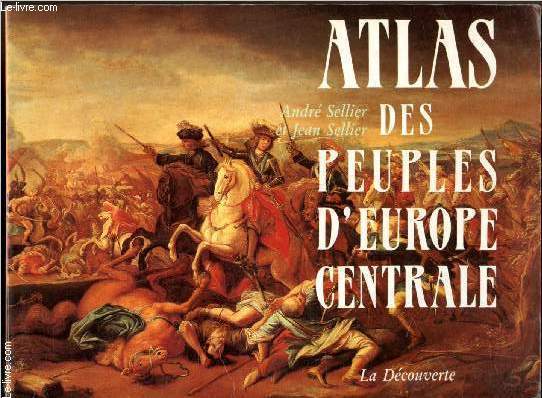
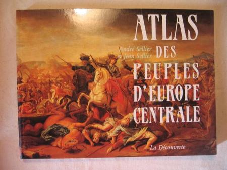
199125555La Découverte 1991 192 pages In-8 oblong. 1991. Broché. 192 pages. Cet atlas écrit par André et Jean Sellier explore l'histoire millénaire de vingt peuples d'Europe centrale. Il combine un texte précis et alerte avec 145 cartes historiques rendant l'ouvrage didactique et accessible
1991RO80210871La découverte. 1991. In-8. Broché. Etat d'usage, Couv. défraîchie, Dos satisfaisant, Intérieur frais. 192 pages. Texte sur plusieurs colonnes. Nombreuses cartes en couleurs dans et hors texte.. . . . Classification Dewey : 912-Atlas, cartes et plans
43851993 La Découverte librairie européenne des idées. broché à l'italienne, 192p. Très bon état.
1973xb433Institut géographique national Cartonné 1973 Deux volumes in-4 (29 x 36,5 cm), cartonnés toilés, 170 pages dans le volume de texte et XLIX cartes dans l'atlas ; étiquette aux dos, tampons de bibliothèque de congrégation, par ailleurs bon état. Livraison a domicile (La Poste) ou en Mondial Relay sur simple demande.
177417750Wien, Mansfeld, 1774. Kupferstichkarte von Johann E. Mansfeld bestehend aus 10 Blatt zu je 8 auf Lwd. aufgezogen Segmenten und 1 Übersichtblatt bestehend aus 4 auf Lwd. aufgezogenen Segmenten. (Gesamtgröße der Hauptkarte: Ca. 227 cm x 220 cm. Zusammen in: Kl.-4°. Ldr.-Schuber der Zeit (etw. fleckig und bestoßen, restaurierte Einrisse). [6 Warenabbildungen]
1906CCC000a3187. Berger-levrault nancy, 1906. Couverture rigide. État : Satisfaisant. In-8 (21 X 15 cm) In-8 cartonnage rouge nouvelle série tome XXVI Quarante neuvième année. 1er partie 435 puis ATLAS 16 planches, 2ème partie 90 pages puis 48 pages de pub. Dos très abimé et délavé, plat frotté, photos possibles
1928CCC000e6187. Imprimerie NATIONALE, 1928. Couverture rigide. État : Assez bon. In-8 (13.5 x 21 cm) percaline rouge brique imprimée , nom du propriétaire inscrit sur le plat avant. Première partie 386 pages puis ATLAS 18 planches couleurs hors texte, photos possibles
folio [37 x 31 cm or 14.5 x 12 inches]; 159 pp, 156 pages of colored maps, charts, including many double page, title printed in red and black. original blue pictorial gilt and blind-stamped cloth, gilt title lettering on cover, a little worn at spine ends, corners, very good+ clean and sound copy. A picture of this book is available upon request by email. This is not to be confused with the Columbian World's Fair atlas nor the Columbian Atlas of the World We Live In, which was in much smaller format. This atlas is quite large and filled with very detailed colored maps, starting with fine double-page maps of the world and of North America. The maps of the USA include the whole country, individual states and city maps showing streets (Boston, NY city, Brooklyn, Buffalo, Philadelphia, Baltimore, Washington DC, Cincinnati, Cleveland, Chicago, Detroit, St. Paul, Minneapolis, St. Louis, St. Joseph, Kansas city, New Orleans, San Francisco from Rand McNally Co, plus others as insets). Canadian maps include country, provinces and territories, some provinces showing counties. Other maps include: Mexico, Central America, West Indies, South America (plus other maps of regions of South America), Europe and individual countries, Polar area, Asia, double-page of Palestine with Jerusalem inset, Turkey and its provinces, Indochina, India, Japan, Persia, double of Africa showing colonial borders, South Africa, Egypt with Cairo inset, North Africa, Abyssinia, Australia, New Zealand, etc, plus other charts. Maps have city, province, county indexes in margins.
[1934] With 44 pages and 168 pages of advertisements, index, at the back. Covers worn all over, slight tears at base of spine.
[1933] With 162 pages of advertisements, and index, at the back. Covers worn all over, slight tears at base of spine.
Still has original bookmark attached. Date assumed from Lighting Up Tables which start April 1938. xiv, 31, 910, 102 pages. Signature at top of front free endpaper. Page 605-8 loose. Wear on extremities and some marks to covers.
In 4o, pp. 318, t.tela con sovrac. (minimi strappetti ai bordi), 42 carte f.t. Ottimo atlante tedesco diviso in 2 parti: TEXT (Astronomie, Entdeckungsgeschichte der erde, Natur der erde, Geographisches worterbuch, Die welt in zahlen, Namen und sprachen, Landerkunde) e KARTEN (1305/ ATLANTE - ATLAS - CARTOGRAFIA)
Very Good German Original color map on cloth of Constantinople, the Bosphorus, the Golden Horn, Princess' Islands, Pera, Galata, Scutari and environment. Map on cloth. 50x60 cm. Toponyms are in German entirely. Folded. Scale: 1:100000. A detailed toponyms list titled "Verzeichnis der mit Ziffern bezeichneten öffentlichen Gebaude" under the sections A: Pera und Galata, B: Stambul, C: Skutari; and "Erlauterung der Abkürzungen". Some toponyms are transcripted Turkish into western characters like Karadenis - Bahr-i Siach, Burgas Adassi, Kisil Adalar, Jeni Djami, etc. A rare Istanbul map printed in 19th century.
Very Good Turkish, Ottoman (1500-1928) A very attractive chromo-lithograph map on paper. Oblong: 26,5x37,5 cm. In Ottoman script (Old Turkish with Arabic letters). Light foxing and fading on margins and printed area. A very detailed and fine double hemisphere map of the northern and southern skies, showing the various constellations, together with a third map showing the zodiacs on one paper. On the bottom margin, it's written 'Printed in the 549 Numbered Press', and 'Dersaadet...'. This map seems to be influenced (or, a direct translation) from the map of the sky of Sir Francis Baily, (1774-1844), who was one of the leading English Astronomers of the first part of the 19th Century. He is most famous for his observations of "Baily's beads" during a total eclipse of the Sun. Baily was also a major figure in the early history of the Royal Astronomical Society, as one of the founders and as the president four times. After a tour in the unsettled parts of North America in 1796-1797, his journal of which was edited by Augustus de Morgan in 1856, he entered the London Stock Exchange in 1799. The successive publication of Tables for the Purchasing and Renewing of Leases (1802), of The Doctrine of Interest and Annuities (1808), and The Doctrine of Life-Annuities and Assurances (1810), earned him a high reputation as a writer on life-contingencies; he amassed a fortune through diligence and integrity and retired from business in 1825, to devote himself wholly to astronomy. He had already, in 1820, taking a leading part in the foundation of the Royal Astronomical Society. In 1827, the Society awarded him its Gold Medal for preparation of the Astronomical Society's Catalogue of 2881 stars. He was instrumental in the reform of the Nautical Almanac in 1829. In 1837, he recommended to the British Association and later worked extensively on the reduction of Joseph de Lalande's and Nicolas de Lacaille's catalogues containing about 57,000 stars. He also supervised the compilation of the British Association's Catalogue of 8377 stars (published 1845) and revised the catalogues of Tobias Mayer, Ptolemy, Ulugh Beg, Tycho Brahe, Edmund Halley and Hevelius. His notice of Baily's Beads, during an annular eclipse of the sun on May 15 1836, at Inch Bonney in Roxburghshire, started the modern series of eclipse-expeditions. Very rare.
RO30302191Non précisé. Non daté. In-8. Broché. Etat d'usage, Tâchée, Dos satisfaisant, Intérieur frais. 8 pages de cartes en noir et blanc.. . . . Classification Dewey : 912-Atlas, cartes et plans
français Sans date (circa fin XVIIIe siècle). Carte entoilée dépliante 59,5x93 cm, de 21 panneaux. Carte gravée et aquarellée de l'époque. Un petit gribouillage au stylo sur la toile d'un panneaux.
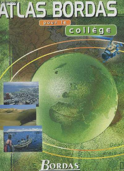
1998RO80218661Bordas. 1998. In-4. Relié. Bon état, Couv. convenable, Dos satisfaisant, Intérieur frais. 96 pages augmentées de nombreuses cartes hors texte -. . . . Classification Dewey : 912-Atlas, cartes et plans
2003500147640Nathan 2003 1x34x24cm. 2003. Relié.
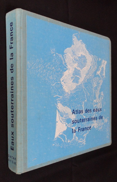
1970qi1485Editions du B.R.G.M. Album cartonné 1970 In-4 carré, (28 x 28 cm.), album cartonné en toile bleue, pièce d'illustration collée sur le premier plat, non-paginé, mais comprend 21 chapitres correspondants aux 21 régions de France ; plats salis, petits chocs aux coins et coiffes, intérieur frais, bon état général. Livraison a domicile (La Poste) ou en Mondial Relay sur simple demande.
français In-12 de Frontispice, xij-360-60 pp.; demi-basane brune, dos lisse à faux-nerfs orné (reliure de l'époque). Nouvelle édition, corrigée & fort augmentée. Quelques infimes trous de vers, petites usures et manques à la seconde carte, quelques restaurations anciennes dans les cartes, petit manque de cuir à la pièce de titre.
5417ou nouvelle méthode pour apprendre la géographie avec un nouveau traité de la sphère et XXIV cartes enluminées. Nouvelle édition corrigée & fort augmentée.In 12 plein cuir fauve raciné,dos lisse,pièce de titre cuir rouge,roulette dorée.Frontispice gravé,titre,XII,360 pages, XXII cartes dépliantes en couleurs suivi de Traité de la sphère où l’on explique le mouvement des astres & les systèmes du monde ancien & moderne,l’usage des globes & des mesures géographiques.Nouvelle édition corrigée et augmentée, titre,frontispice:carte XXIII 60 pages et XXIV A Lyon Chez Bruyset frères et fils 1783 mouillure en tête jusqu’à la page XII et angle inférieur du nouveau traité de la sphère de la page 52 à la fin.Fort rare La structure de cet ouvrage s’articule,autour des 24 cartes,toutes coloriées. Celles-ci ne contiennent aucun nom, seulement des chiffres, des lettres et des signes afin que les enfants puissent apprendre par cœur et s’y repérer. L’Atlas se charge ensuite de les expliquer,sans fioriture. En effet,"la meilleure méthode géographique est sans contredit,celle qui joint à la brièveté, l’ordre le plus commode pour la mémoire des enfants",l’auteur ayant ainsi choisi de se cantonner à la stricte géographie, et non verser dans des détails historiques et économiques, qui pourraient perdre l’attention Aussi,l’étude afférente à chaque carte se décline selon un ordre naturel, s’intéressant tout d’abord au terroir d’un pays,aux mœurs de ses habitants,puis les principales divisions de ce pays, ses villes,ses rivières,ses caps et ses montagnes,tout en finissant en établissant ses limites.Les renseignements sont donc très nombreux sur l’Europe de cette époque. Concernant l’Atlas,22 carte(l’exemplaire est complet, toutes dépliantes.Dans le traité de la sphère,on trouve deux cartes dépliantes,celle représentant la sphère,celle représentant les systèmes
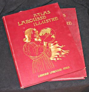
pp5369Larousse Cartonnage d'éditeur 2 volumes 158 & 228 pages. In4 reliés pleine percaline bordeaux. Titres dorés sur plats et dos, Grands motifs dorés sur les 1er plats (Femme à la mappemonde). Tranches rouges. Texte sur 2 colonnes. 1ere partie : France et Colonies françaises. Illustré de 17 cartes couleurs hors-texte et 463 reproductions photographiques nb in-texte. 2ème partie : Europe, Afrique, Asie, Océanie, Amérique. Illustré de 25 cartes couleurs hors-texte et 695 reproductions photographiques nb in-texte, sans date ; très bon état Livraison a domicile (La Poste) ou en Mondial Relay sur simple demande.