12 890 résultats
New Turkish Original bdg. HC. In publisher special box. Atlas folio. In Turkish. 336 p., fully color ills. Tarihte Türkiye haritalari: 2000 yillik harita koleksiyonu. This work begins from the first ages, continues with maps from Islamic geographers, maps with religious motifs, maps from the age of explorations and from the Ottoman Empire, goes until the Arabic letter maps from the early years of the Turkish Republic and ends with the map of Hatay joining the Turkish Republic in 1939. It is an indispensible work that traces the evolution of cartography in these lands. The collection, enriched with maps compiled from the major museums and libraries of England, France, the Netherlands, Russia and the USA, is the largest exhibition of maps of the Turkish lands. THis book is a product of nearly 20 years of work with 265 select maps in large 50 x 70 cm pages. A very heavy volume.
New New Turkish Original bdg. HC. In special publisher's box. 4to. (34 x 34 cm). In Turkish. 612 p., color ills. Tarih atlasi. A very heavy volume.
Cartes Taride. Non daté. In-18 Carré. Relié. Bon état. Couv. convenable. Dos satisfaisant. Intérieur bon état. 368 pages. Pages à onglets. Illustré de nombreuses cartes en couleur hors texte en 2e partie d'ouvrage. Carte dépliable en couleur volante. Banlieue desservie par le métro. Métro-Autobus. Répertoire des rues et tous les renseignements utiles.
CARTES TARIDE. In-12 Carré. Relié. Bon état. Couv. convenable. Dos satisfaisant. Intérieur frais. 304 pages augmentées de nombreuses cartes et plans en couleurs et en noir et blanc - sous forme de répertoire - non daté
1964R200074128NON PRECISE. 1964. In-4. Broché. Bon état, Couv. convenable, Dos satisfaisant, Intérieur frais. 1 plan dépliant en couleurs, d'environ 55*90 cm.. . . . Classification Dewey : 912-Atlas, cartes et plans
1991mon0000159718Avalon Hill 1991-01-01. Paperback. Acceptable. 0.1000 in x 11.0000 in x 8.4000 in. Some soiling and wear. Scarce. Avalon Hill paperback
1979329295San Francisco: Griffin International 1979. Magazine. 48p. includes covers 8.5x11 inches entirely b&w color and sepia toned full-frontal nudes of men very good magazine in stapled pictorial wraps with light crease on cover. Ten sensual men from Griffin Int. Griffin International unknown
4951reliure éditeur - 17,5x27 - 191 pp - sans date - éditions RENCONTRE, Lausanne.Collection " ATLAS DES VOYAGES, RENCONTRE" dirigée par Charles-Henri FAVROD.Nombreuses illustrations dans et hors texte.
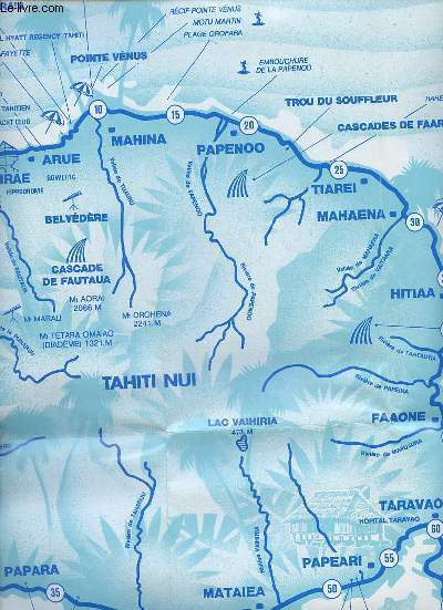
1989R320170271Opatti. 1989. In-Plano. En feuillets. Bon état, Couv. convenable, Dos satisfaisant, Intérieur frais. Tahiti tour de l'ile une carte dépliante en couleur d'environ 45 x 55 cm.. . . . Classification Dewey : 912-Atlas, cartes et plans
189017357Leipzig Dr. P. Stoltz Verlagsbuchhandlung, 1890. 68 S. 4° Quart Hln.
187551587Montreal Toronto & London: George N. Tackabury Printed by the Burland-Desbarats Lithographic Co. 1875. Folio. 14.25 x 17.75 in. 251 1 pp. Colour lithograph illustrated title page showing the Parliament Building in Ottawa Canada from photograph by W. Notman 53 colour lithograph maps many double-page many tables. Publisher’s plum-coloured embossed cloth gilt decorative lettering on front cover marbled endpapers nicely rebacked in simulated black calf corners renewed some wear & rubbing to corners 1 leaf w/ repairs to creases minor tidemark to upper right corner not affecting maps still G copy. First edition of this fine atlas of Victorian-era Canada including maps of climatology possessions provinces prior to Alberta Saskatchewan & Newfoundland becoming provinces plat maps of counties Railways as well as maps of the United States and Europe. Of particular interest are the city maps of Quebec Ottawa London Hamilton Kingston Toronto and Montreal. This excellent reference work also provides a comprehensive list of railways in Canada steamships in use lists post offices railway stations cities and populations as well as business cards located by city and town. George N. Tackabury, [Printed by the Burland-Desbarats Lithographic Co.], hardcover
19926369020Hannover: Elwin Staude Verlag 1992. [94] S., m. zahlr. schw/w Abb., 34cm x 25cm gebundene Ausgabe
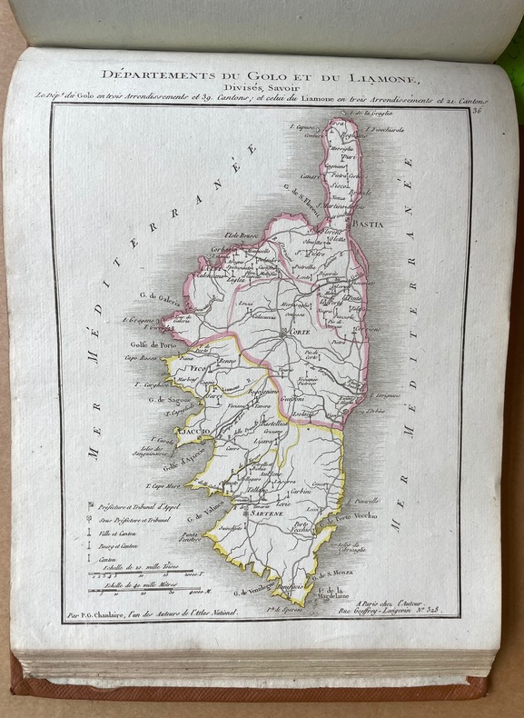
1802ARC-214223Paris : Impr. de la République, An X [1802] 2 parties en 1 vol. in-4 obong relié demi basane marron (reliure moderne amateur). Mouillure sur la première page de titre très visible, puis mouillure claire sur 35 pages.
RO70116112Foldex. non daté. In-12. Broché. Etat d'usage, Couv. légèrement passée, Dos satisfaisant, Intérieur frais. Non Renseigné. . . . Classification Dewey : 912-Atlas, cartes et plans
6904Société d'études des Hautes Alpes Fort et dense volume broché , 15,5x24cm , 728 pages , ensemble à l'état de neuf.
19848Amsterdam/ Antwerpen, Atlas, 1998 Gebonden, zwart linnen met goudopdruk op rug, foto-kartonomslag, 130 x 225mm., 150pp. ISBN 9045001330.
190570147- Carte 40 x 50 cm, pliée en 2.
190570168- 7 cartes 40 x 50 cm, pliées en 2.
2014RO40009621petit futé. 2014. In-12. Broché. Bon état, Couv. convenable, Dos satisfaisant, Intérieur frais. 192 pages augmentées de nombreuses illustrations en couleurs dans et hors texte. Couverture contre-pliée.. . . . Classification Dewey : 912-Atlas, cartes et plans
19931177551993 Editions Hachette Supérieur, Hachette Université (HU), collection "Linguistique" dirigée par Bernard Quemada et François Rastier - 1993 - In-8, broché - 454 pages - ISBN : 9782010206481
248475Helsingfors Aktiebolaget F. Tilgmanns Bok- och Stentryckeri 1899. Folio & stor 8vo. Atlas: 12 s. Kartene i farger nummerert 1-32b tekst. Illustrert. tabeller. Atlas i originalt dekorert helsjirtingbind med skinnrygg Ryggen slitt med tap av skinn ved øvre kapitél. tekstbd.: Samtidig skinnbind. Komplett. . unknown
20156600271Warschau: Demart 2015. 192 S., zahlr. farb. Karten, 29 cm x 20,5 cm.
1910106517Gotha, Justus Perthes, 1910. 43 Tafn. 2° Folio, Leinen
197055313München ; Hamburg : Universum-Verl. 1965-1970. 54 Blätter (als Blockbuch gebunden); 33 x 28 cm, grüne Original-Leinenband mit goldgeprägten Deckel- und Rückentiteln. gebundene Ausgabe, Leinen, Exemplar in sehr guten Erhaltungszustand
185909897Gotha, Perthes, 1859. PP, Block gebrochen, Karten teilw. gelöst, angerändert und teilw. fleckig, 11.Auflage