893 résultats
19792111902160307575Okajima Natural Health Dojo 1979. Soft Cover. Fine. Number of books: 10 Okajima Natural Health Dojo paperback
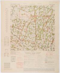
1945200411Washington D.C.: Army Map Service. First edition - revised AMS4. 1945. Army survey map printed in colour 36.7 x 36.7 cm; 58 x 48 cm sheet conversion graph glossary and administrative index to the inner margin; scale three column legend index to adjoining sheets and notes re grid references and mean declination to the foot; sheet toned a very few edge tears the map in very good condition. Wartime map produced by the US Army Map Service AMS who formed in 1942 and were at the forefront of military mapping campaigns during WWII and the post-war years. The very detailed map shows residency and administrative boundaries transportation ground and water features vegetation cultivation ruins religious sites "Graves; Chinese native" and "Cemetery; heathen Christian" walls hedges populated places built-up areas and buildings with those of iron stone wood and bamboo differentiated by colour; fishponds plantations and much more. . Army Map Service. unknown
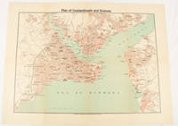
1925174961Constantinople.: The Anglo-American Book & Newsagency. 1925. Printed folding colour map 36 x 49.2 cm street grids for Stambul Pera Galata and Skutari railways and landing places marked small fold splits affecting the margins only now repaired with archival material two small holes at central folds pin-holes to the four corner some age-toning but in very good condition. A scarce map of the historic peninsula soon after the Republic of Turkey was founded and the capital moved to Ankara. Printed for the tourist market this map is a rare survival. . The Anglo-American Book & Newsagency. unknown
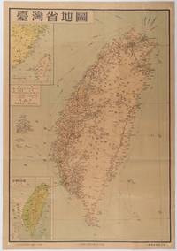
1954215869地圖出版社. Reprint. 1954. Colour folding map of Taiwan showing all major cities towns and villages railways highways roads rivers and sea routes. Topographical inset map at lower left Taiwan Straits with mainland coast inset map at top left. Each map has its own scale. Text in traditional Chinese characters. Washi repairs along some folds on reverse pin marks at corners evenly browned and a little faded. A nice map of Taiwan in fair condition. 77 x 53.8cm. . 地圖出版社. unknown
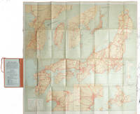
1927215711Tokyo.: Japanese Government Railways. Circa1927. Large folding colour map 78.5 x 80 cm of Japan and Korea 6 inset maps one of which shows Taiwan scale 1:1640000 for Hondo Shikoku and Kyushu 1:2340000 for Chosen; tipped into the original orange cloth covered case with orange ties text in 31 panels on the verso one a little age-toned a few very small fold splits without loss a very good copy. Attractive tourist map for the English-speaking traveller issued by the Japanese Government Railways with extensive notes for tours and points of interest on the verso short descriptions of cities and sites to visit principal theatres with suggestions for cafes restaurants and department stores. . Japanese Government Railways. hardcover
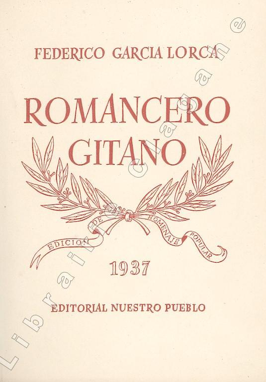
193720330Barcelona, Editorial Nuestro Pueblo (Talleres Gráficos Ramón Sopena), 1937 ; in-16 (164 mm), broché ; 79, [1] pp., couverture crème décorée imprimée en rouge ; 7 dessins de Juan Antonio y compris le frontispice.
200033694<p>Museo Soumaya 2000 First Edition stated in colorful illustrated boards no markings NOT ex-lib binding tight pages and plates bright orange endpapers slight shelf/edge wear to heavy boards else Fine unread copy no dust jacket as issued; Texts in Spanish; folio; 303pp colophon fully illus in color. First Edition. Hard Cover. Near Fine.</p> Museo Soumaya hardcover
198180651Santa Barbara: Ross-Erickson Inc 1981. Paperback. Very Good. Covers show some rubbing. ; Translation and commentaries by Henry Munn. With a retrospective essay by R. Gordon Wasson preface by Jerome Rothenberg. Covers show slight rubbing. This is New Wilderness Poetics Volume I. ; 6 x 9 "; 239 pages. Ross-Erickson Inc paperback
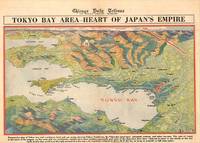
1945209335Chicago.: Chicago Daily Tribune. 28 July1945. Colour bird's eye view map 22.4 x 39.3 cms on a newspaper leaf trimmed to a half sheet 29.8 x 41.6 cms including caption slight toning at an old central fold the map in very good condition. <br>Unrelated black and white photographic illustrations on the verso "Pre-flight Trainers used in Chicago to give ground instruction to would-be pilots" and "New rekindled Montauk Light Long Island N.Y." Map published in the Chicago Daily Tribune days before the bombing of Hiroshima on August 61945. <br>"Perspective map of Tokyo bay and contiguous land and sea areas showing Tokyo Yokohama the Yokosuka naval base industrial sections and other features .In this map north is at the right instead of at the top - an expedient adopted to show all of the bay as large as possible in half page space." caption . Chicago Daily Tribune. unknown
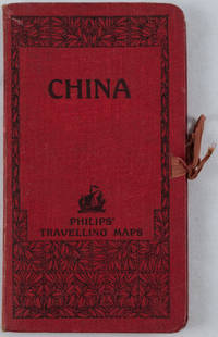
1920161936no date. circa1920. Linen backed colour folding map of China insets of Peking and Environs and Hongkong and Canton in lower left corner. 54 x 63.8cm. Table of place names at upper left gives the cities that "By a recent ordinance of the Republic all 'Fu' 'Chow'' and 'Ting' cities have been nominally reduced to the rank of 'Hsien'. The following parallel list gives the 'Fu' cities the names of which have been officially changed together with the new form adapted." Map folds into a red cloth covered case with ribbon ties 19 x 10.3cm. Title and decoration printed in black on upper cover. Trifle foxed on linen backing a little insect damage case in a few small places otherwise a very good clean map. . hardcover
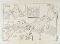
1955172396No publication details. Circa1955. Chinese black and white military map of Japan based on a map issued by 赤旗報 Shimbun Akahata on 24 June 1953. No scale given inset map of Hokkaido upper left corner legend lower section showing air and navy bases military exercise bases ammunition dump shooting ranges for the air force and navy headquarters of the coast guard etc. Text upper section provides details of the different types of US military bases and infrastructure. Text in traditional Chinese. 25.8 x 35.8cm. . No publication details. unknown
1986SONG9061935431Springer 1986-06-30. 1. hardcover. Used: Good. 7.00x0.94x10.00. Buy with confidence. Excellent Customer Service & Return policy. Springer hardcover
19812091502135413297Hubangi Publishing House 1981. Soft Cover. Fine. Number of books: 5 Hubangi Publishing House paperback
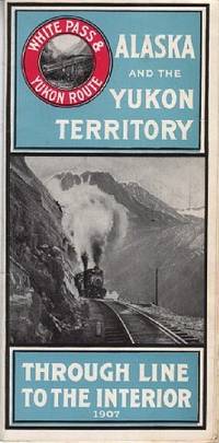
1907110968Seattle Wash.: White Pass & Yukon Route 1907. Softcover. very good. 24 Columnspp. Square Octavo folded once into narrow Octavo. Illustrations from photos and double-paged centrefold "Map of White Pass & Yukon Route. Original pictorial wrappers stapled as issued - minor rusting with map on rear cover. very good 1907 White Pass & Yukon Route paperback
192125.0468Buenos Aires : Talleres Gráficos de Alfredo de Martino 1921. 2ª ed. Rústica. 13.5x18. Talleres Gráficos de Alfredo de Martino paperback
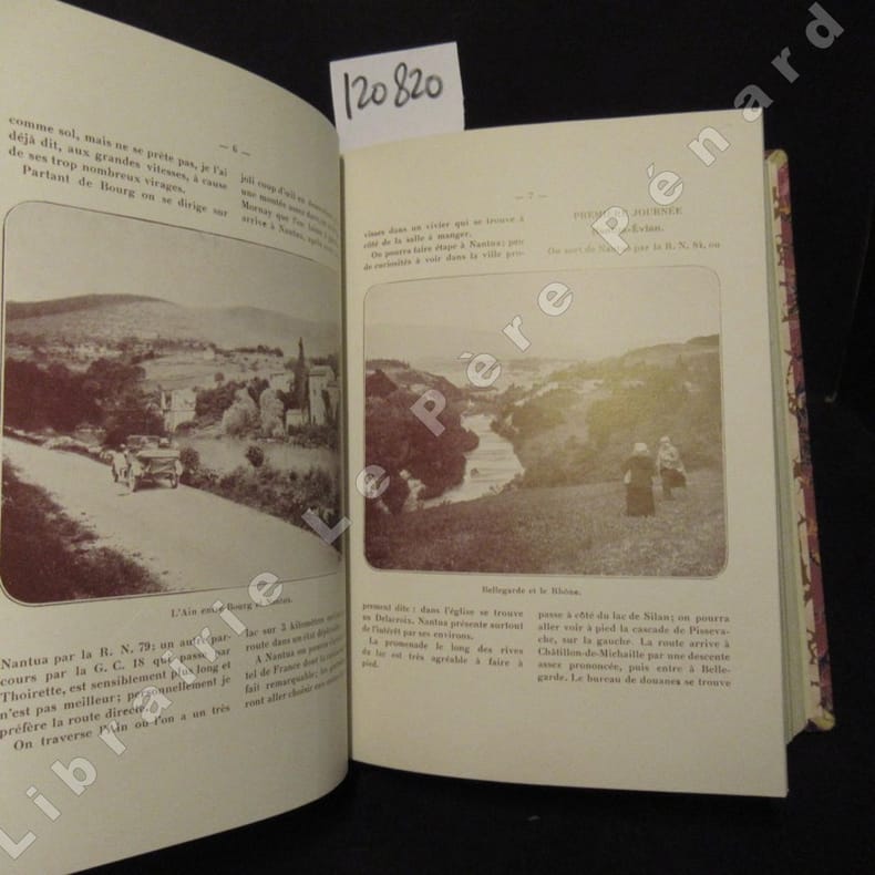
19131208201913-1926 Dunod éditeurs, In-8 relié - Demi basane bordeaux, 4 nerfs sautés, pièces de titre doré sur fond vert et décor en doré sur le dos, couvertures d'origines conservées - 34 Numéros reliés. Supplément à "La vie automobile" - N° 1 (supplément au n° 588 du 4.01.1913), Supplément au N° 630, N° 5 (suppl. au N° 639), N° 6 (suppl. au N° 641), N° 8 (suppl. au N° 649), N° 9 (suppl. au N° 654), N° 10 (suppl. au N) 659), N° 12 (suppl. au N° 676), N° 13 (suppl. au N° 686), N° 14 (suppl. au N° 710), N° 15 (suppl. au N° 712), N° 16 (supl. au N° 728), N° 17 (suppl. au N° 738), N° 18 (suppl. au N° 751), N° 19 (suppl. au N° 754), N° 20 (suppl. au N° 758), N° 21 (suppl. au N° 764), N° 22 (suppl. au N° 772), N° 23 (suppl. au N° 778), N° 24 (suppl. au N° 781), N° 25 (suppl. au N° 787), N° 26 (suppl. au N° 797), N° 27 (suppl. au N° 800), N° 28 (suppl. au N° 807), N° 29 (suppl. au N° 811), N° 30 (suppl. au N° 823), N° 31 (suppl. au N° 827), N° 32 (suppl. au N° 830), N° 33 (suppl. au N° 836), N° 34 (suppl. au n° 845), N° 35 (suppl. au N° 850), N° 36 (suppl. au N° 854), N° 37 (suppl. au N° 860 du 25 oct. 1926), et suppl. au N° 722 du 25 janv. 1921 consacré à La 10 HP de Dion-Bouton (Soit 34 Numéros) - Chaque Numéros comporte 16 pages - 34 x 16 pages - Nombreuses illustrations, cartes et reproductions photographiques - Pièce de titre indiquant Promenade 1913-1924 (au lieu de 1926 comme c'est le cas)
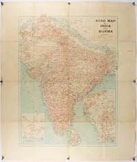
1940211089Bombay.: Joshi & Co. circa1940. Colour lithographic map 66 x 50 cms; 81.x 68.5 cms sheet two inset maps and on the verso a full sheet "Relief Map of India" original folds with fold splits archivally strengthened several city names have been neatly underlined “Agartala” inked in the margin overall in good condition. Scarce Bombay-published map of the pre-Partition Indian sub-continent with two small inset maps one showing roads around Karachi and the other Burma. Through Routes Other Main Roads and Motorable Roads Subject to Weather are marked. The "Relief Map of India" on the verso includes Railway Lines Canals Steamer Routes Rivers Air Routes Navigable Canals and Broadcasting Stations. . Joshi & Co. unknown
1910175858Calcutta.: E. I. R. Press. circa1910. Folding engraved map 33.5 x 73.5 cm river systems in blue attractively bursting the borders of the map inset map of the network into Calcutta legend noting stations lines under construction and foreign railways; original folds two small fold splits with no loss slight overall toning more noticeable at the folds in very good condition. Attractive map capturing one of the busiest areas of a staggeringly vast railway network. The Barharwa-Azimganj-Katwa loop is marked under construction. Scarce. . E. I. R. Press unknown
19592407100222xbvkKyoto/Japan, Jimbunkagaku Kenkyusho Kyoto University, 1957-1959. Overall ~2.100 pages. - 4 Publisher's gilt titled orange-colour cloth-bindings in 3 publ. slipcases (Vol. 3 and Index-Vol. in 1 slipcase); 4to.(ca. 26 x 19 x 17 cm; ca. 5 kg.).
19652407100219xbvkKyoto, Jimbunkagaku Kenkyusho Kyoto University, 1964/1965. 20, 1.825 (2) pages. - Publisher's gilt titled orange-colour cloth-bindings in the publ. slipcases; 4to.(ca. 26 x 19 x 10 cm; ca. 3,5 kg.).
19092111902160201132Higashi-Tsukima-gun Office 1909. Soft Cover. Fine. Volume: 1 Higashi-Tsukima-gun Office paperback
1998DBS-9780854047383RSC 1998. 1st. Hardcover. New. RSC hardcover
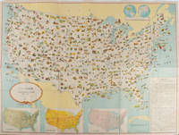
1955172003Washington D.C.: 国務省. Kokumishō. No date. circa1955. Large folding Japanese coloured map of the United States with 3 inset maps at foot of map showing main railways air and highway routes and hemispheres at the top right. Some browning mainly visible on reverse still a good copy. 66 x 81cm. An intricate and detailed pictorial map of the United States published in Japanese by the US State Department. The same type of map had been published since 1945 in English and subsequently in other languages. The Japanese language map is hard to find. The map is undated but was probably produced in the 1950's. The images include depictions of women board riders in two piece swimsuits of the sort popular in the 1950s but the inset text lists Alaska and Hawaii as external territories of the US indicating that the map was produced before they attained statehood in 1959. <br> <br>An inset panel provides information on the area and population of the US the population of major American cities mineral and other resources climate and topography. A note at the bottom right hand corner of the map states that copies of the map can be obtained free of charge from your nearest US Information Office. <br> <br>Every region of the country is decorated with an illustration of the natural resources industries or cultural or historical resources associated with that particular place. These include images of early colonial settlers the birthplaces of Mark Twain and Woodrow Wilson Booker T. Washington's house and Abraham Lincoln's grave; images of major dams oil fields coal mines cotton plantations etc. various animals and crops and images of ships cars and public buildings including the Statue of Liberty located rather oddly far out at sea. . 国務省. [Kokumishō]. unknown
1943206908Chicago.: Geographical Publishing Company. 1943. 10 printed colour maps on a large single sheet 91 x 71 cms small inset map of the European theatre chronology of events original folds a few short fold splits archivally sealed; in very good condition. A suite of numbered U.S. war maps with Allied action overstamped in red by the publisher that for Germany and France with pictorial stamps for strategic targets including "Chemical Factories" and "Airplane Factories". The maps numbered 1 to 10: English Channel; Italy; Southern Greece; Western Mediterranean Sea; Germany and France; Baltic Sea and Scandinavia; China Burma India; Japan; Tokyo; and Greater Pacific Battle Zone: a large half sheet map noting the placement of US and Japanese bases. The "Chronology of Important War Events" lists action from the bombing of Pearl Harbour: "Japan's day of Infamy: Japanese air attack cripples American Fleet at Pearl Harbour" to March 21 1944 "Germans take over key political posts in Bulgaria and Romania". <br> <br>Issued by the Geographical Publishing Company of Chicago this educational sheet includes an advertisement for WLS Chicago "The prairie farmer station" with a list of their war broadcasts and a world clock. . Geographical Publishing Company. unknown