FER, Nicolas deBiblio.com
198 résultats
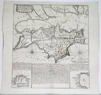
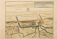
171778680Paris: c.1717. Map of the towns of Dunkirk and Mardick showing the new canal. Published in "Atlas Curieux ou le Monde". Copper engraving. Hand coloured. Size: 275 x 398 mm Very good condition. unknown
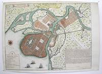
1717M3039Paris 1717. margins trimmed and laid down on 18th century paper otherwise very good. Notes: StolenRare map of the Imperial capital city during the reign of Alexander I with its traditional regular street layout and eleven districts. The map provides excellent detail of the public buildings docks and shipyards fortifications palaces churches hospitals universities etc Size : 365x473 mm 14.375x18.625 Inches Coloring: Hand Colored Category: ; Maps Russia; Maps City Maps unknown
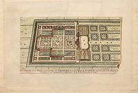
170578538Paris: 1705. Nicolas de Fer's excellent plan of the Nieuburg House where the treaty of Ryswick in the Netherlands was signed in 1697 and not 1705 as stated in the print. From the "Atlas Curieux ou Le Monde". Copper engraving. Hand colouring. Size: 275 x 400 mm Good condition. unknown
17926102Mit 28 Abb. auf 5 gefalt. gest. Tafeln. Berlin, A. Mylius, 1789. 8vo. (19,4 x 11,4 cm). 77 S. - Vorgebunden: Rösler, Karl Anton. Bergmännische Nachrichten über die Gebirge und den Bergbau zu Joachimsthal. Nebst einigen Nachrichten über die Gebirge auf der Straße von Prag bis Joachimsthal, hrsg. von Johann Mayer. Dresden, Walther, 1792. 8vo. 126 S. Marmorierter Pappband d. Zt. mit zwei farbigen Rückenschildern. [6 Warenabbildungen]
1760381611760 In-12, broché, couverture bleutée de papier ancien de livraison, 40 p. S.l.n.d. [1760].
1701685P7Ferrara: Appresso Bernardino Pomatelli 1701. Vellum. Very Good. 9" by 6.5". Not Stated. A very scarce early Italian history on the city of Comacchio in Ferrara illustrated here with a beautiful folding plate of the town and more plates and in-text engravings. In the original Italian. A very scarce work. Illustrated with an engraved title page a folding plate two plates and ten in-text engravings. Collated complete.Collated from Jisc from a copy held at the University of Oxford Libraries. Register runs as 1 8 6 A-Kk8 Ll6. In a vellum binding. An early history on Comacchio. An extensive history of the town of Comacchio a commune of Emilia Romagna in Italy in the province of Ferrara. The town was founded about two thousand years ago. Comacchio was governed first by the Exarchate of 'Ravenna' then by the Duchy of Ferrara' eventually being returned as part of the territories of there Papal States. It was the seat of a Lombard duchy being prosperous under the Goths and Lombards. It owed its fortune to the salt pans and its important location. Comacchio has some beautiful examples of both religious and civil architecture including the Comacchio Cathedral. Written by Giovanni Francesco Ferro though the work is sometimes to his uncle Bartolomeo Ferro. The work is dedicated to Pope Clement XI. In a full vellum binding. Externally with discolouration and marking to the boards and spine. Bumping to the head and tail of the spine and to the extremities. Small amount of loss to the spine label. Internally firmly bound. Pages are lightly age-toned and generally clean with the odd spot. Very small hole to the folding plate. Small amount of loss to leaf C1 to the head affecting two words of text very lightly to leaf D1 affecting six words lightly to leaf D3 affecting ten words E1 affecting nine words E3 affecting eight words F1 affecting seven words F3 affecting six words. Printing error to leaf Q5 affecting roughly nine words. Very Good Appresso Bernardino Pomatelli hardcover
17750051621775 Paris, Delalain, 1775. In-quarto (217 X 263 mm) veau fauve marbré, dos cinq nerfs, caissons ornés de fers et fleurons dorés, palettes dorées en queue, pièce de titre maroquin brun, coupes et coiffes filetées, tranches rouges (reliure de l'époque) ; (2) ff. de faux-titre et titre, XXXVII pages d'épitre et préface, (3) pages de table et avis au relieur, 654 pages [+ pages 473 à 480 bis], 13 planches hors-texte, (1) f. d'errata et privilège. Infime mouillure claire dans la marge supérieure des pages I à VIII, habile restauration à un coin, tache sombre en tête du premier plat.
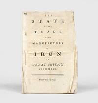
1750152922London: 1750. First edition thus an abridgement of the 1736 pamphlet The Interest of Great Britain in Supplying Herself with Iron. "This tract is curious from the information which it affords respecting the production of iron at the time which the author estimates at 18000 tons. He states the difficulties with which the manufacture had to contend from the scarcity and high price of timber; and yet not very consistently complains of the importation of Swedish iron and still more bitterly of the establishment of iron works in our North American colonies. It is curious that not a word is said in this tract about the employment of pit-coal in the manufacture of iron; though Lord Dudley had taken out a patent for its application in 1619; and the practice of making iron by its means had been carried on to some extent at the works in Colebrook Dale since about 1740 or for ten years previously to the publication of this tract" McCulloch p. 238. Octavo 16pp. Sewn as issued uncut. Neat ink notation at head of title page. Minor creases and soiling a very good copy. ESTC T76989; Sabin 90635. McCulloch The Literature of Political Economy 1845. unknown
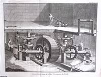
1765370549Paris 1765. Unframed Print. Very Good Condition. An original 18th century engraved print not a modern reprint. The blank unprinted margin spaces and corners are mildly creased but the image is not affected. Folded as published. There are no text pages. The size shown is the approximate image size the whole page with margins is slightly larger. The Encyclopedia a monumental work edited by Denis Diderot and Jean Le Rond d'Alembert was a groundbreaking endeavour that aimed to systematically catalogue all human knowledge spanning 28 volumes published between 1751 and 1772. As a product of the Enlightenment era the Encyclopedia embodies the spirit of rational inquiry intellectual exchange and the scientific method as its contributors known as encyclopedists sought to understand the world through reason and empirical evidence. The editors Diderot and d'Alembert defined their goal : "As an Encyclopedia it is to define as well as possible the order and structure of human knowledge. As a Reasoned Dictionary of the Sciences Arts and Trades it is to contain the general principles that form the basis of each science and each art liberal or mechanical and the most essential facts that make up the body and substance of each". The emphasis on arts and trades during the Enlightenment period shifted the focus from the refined pursuits of the aristocracy to the everyday accomplishments of working people. This movement celebrated the skills and crafts of artisans farmers and other labourers recognising their importance in society and the value of their contributions to the economy. By highlighting the applied arts and crafts the Encyclopedia promoted a more egalitarian view of society where all individuals regardless of social class had a vital role to play in shaping culture and society. Size: 32 x 43 cms. Text is in French. Category: Diderot Encyclopedia; French Language; Printed before 1800; PRINTS : Antiquarian Interest; French Language; This item may require more postage than the rates shown for delivery outside the UK. If extra postage is required we will contact you before processing your order and you will be given the details and option to decline the extra cost. unknown
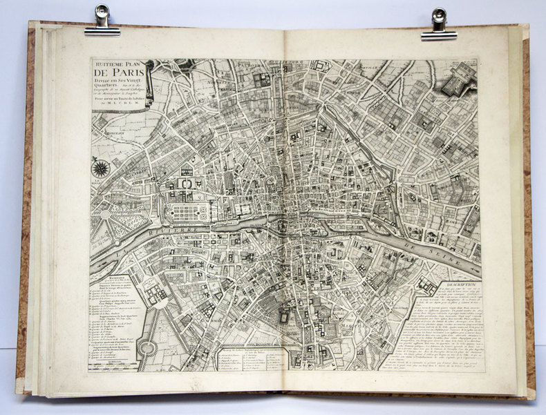
175553444Amsterdam et Leipzig, Arkstée & Merkus 1755 In-folio, atlas demi-veau havane, dos à nerfs richement orné, pièce de titre de maroquin rouge, grande vignette de maroquin rouge avec titre frappé or posé sur le premier plat reliure à l'imitation. Titre et 8 plans gravés à double page et montés sur onglet par Nicolas De Fer. Mouillure au titre, lég. brunissures.
1705M4585Paris 1705. Very Good. Size : 230x340 mm 9x13.375 Inches Coloring: Hand Colored Category: Maps City Maps; Maps Europe Benelux unknown
1706M6386Paris 1706. Very Good margins extended. Size : 130x175 mm 5.125x6.875 Inches Coloring: Hand Colored Category: ; Maps Europe Portugal unknown
1705M5243Paris 1705. Excellent. Size : 225x320 mm 8.875x12.625 Inches Coloring: Hand Colored Category: Maps City Maps; Maps Europe Benelux unknown
1705M4703Paris 1705. Excellent. Size : 250x355 mm 9.875x14 Inches Coloring: Black & White Category: ; Maps Europe Germany unknown
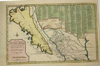
1705M5240Paris c.1705. Very Good. Notes: “California with indented northern coast and labeled: Californias o Carolinas. New Mexico is shown covered with engraved key at may top right. Includes Father Kino’s Place name Co. S. Francisco Xavier at California’s northern tip†McLaughlin<br><br>The title Ba. d. las 11000Virgenes is introduced for the first time. In the Southwest there are names such as Santa Fe Acoma and Casa Grande. The key covers 314 different places and their locations. Size : 230x345 mm 9x13.625 Inches Coloring: Hand Colored Reference: McLaughlin 134; Tooley Amer 62; Wagner 462. Category: Maps United States West California; Maps Central America Mexico; unknown
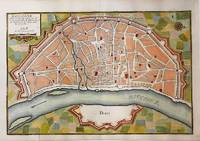
1705M5135Paris 1705. Very Good. Notes: Copper engraved plan of Cologne Köln in Germany. It is beautifully hand coloured. Size : 235x350 mm 9.25x13.75 Inches Coloring: Hand Colored Category: Maps City Maps; Maps Europe Germany unknown
1705M5239Paris 1705. excellent. Notes: With a decorative water mark Size : 255x355 mm 10x14 Inches Coloring: Hand Colored Category: Maps City Maps; Maps Europe Portugal unknown
1706M6388Paris 1706. Very Good margins extended. Size : 130x180 mm 5.125x7.125 Inches Coloring: Hand Colored Category: ; Maps Europe Portugal unknown
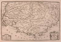
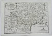
1705M5140Paris 1705. Excellent. Size : 230x345 mm 9x13.625 Inches Coloring: Black & White Category: ; Maps Europe France unknown
1705M5133Paris 1705. Excellent. Size : 236x345 mm 9.25x13.625 Inches Coloring: Black & White Category: Maps Europe France unknown
1715M4751Paris 1715. Very Good slight wear at the center of the fold. Size : 350x320 mm 13.75x12.625 Inches Coloring: Black & White Category: ; Maps Europe United Kingdom unknown
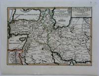
1703M5176Paris 1703. Excellent. Size : 230x335 mm 9x13.125 Inches Coloring: Original Outline Coloring Category: Maps Asia Near East Turkey; Maps Asia Middle East Iran Iraq; Maps Asia Middle East Caucasus.; unknown
1703M5179Paris 1703. Excellent. Size : 230x310 mm 9x12.25 Inches Coloring: Original Outline Coloring Category: ; Maps Asia Middle East Holy Land & Palestine unknown
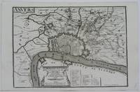
1705M5141Paris 1705. Excellent. Size : 245x345 mm 9.625x13.625 Inches Coloring: Black & White Category: ; Maps Europe Benelux unknown
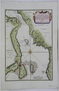
1705M5485Paris 1705. Very Good. Notes: Map of strait between Sweden and Denmark. Size : 335x225 mm 13.125x8.875 Inches Coloring: Hand Colored Category: Maps Europe Scandinavia Countries; unknown