FER (Nicolas de).Livre Rare Book
198 résultats
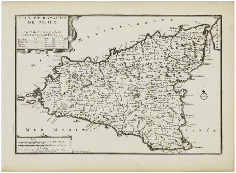
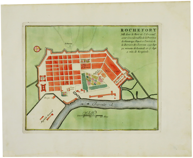
1705LBW-6117Paris, Sr. de Fer, 1705. 223 x 302 mm + feuillet de texte descriptif.
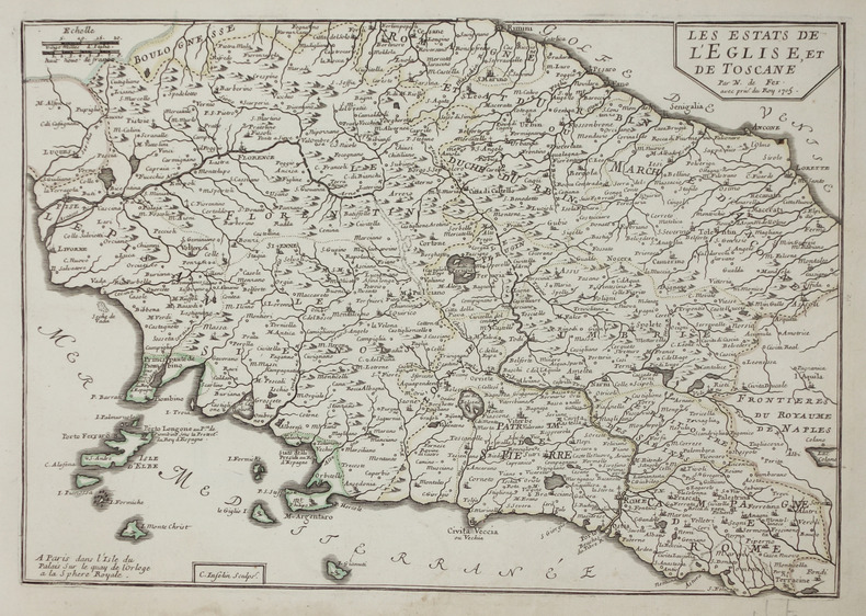
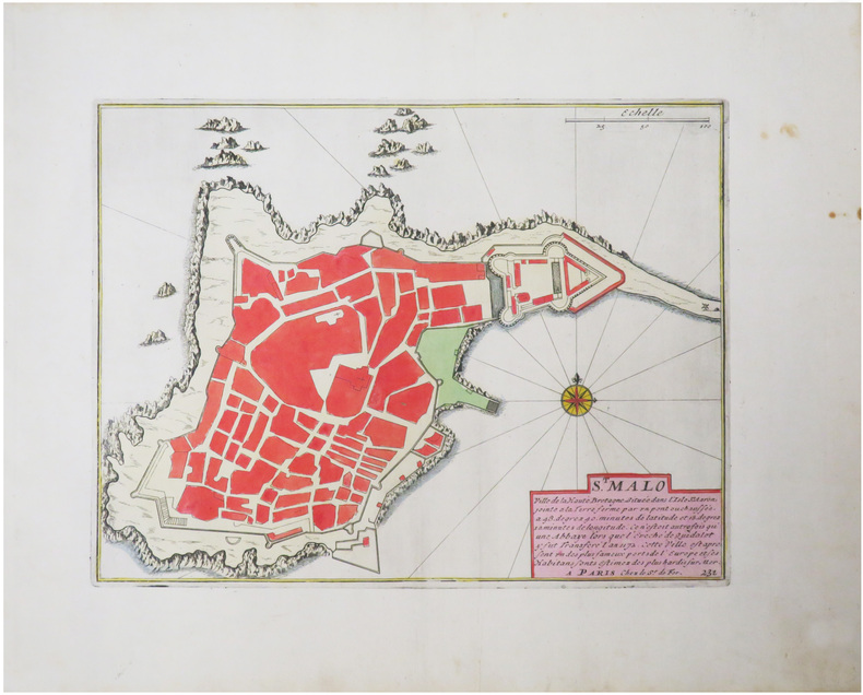
1705LBW-2898Paris, chez l'autheur, 1705. 226 x 335 mm + feuillet de texte.
1705LBW-2900Paris, 1705. 233 x 337 mm + feuillet de texte.
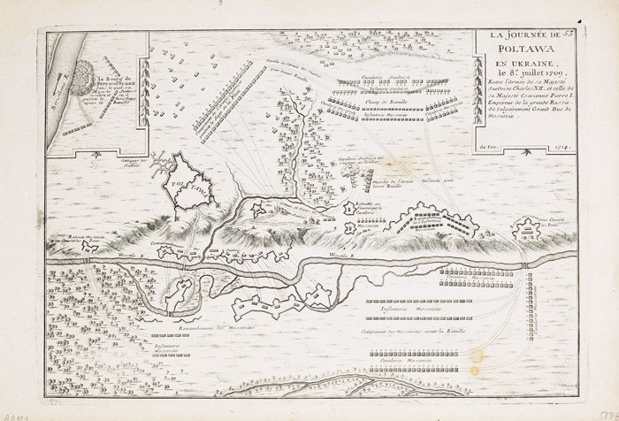
1714LBW-7131714. 227 x 329 mm.
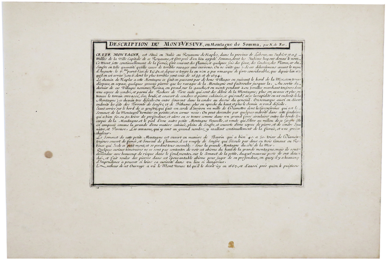
1703LBW-61151703. 227 x 336 mm + feuillet de texte descriptif.
1705LBW-708Paris, 1705. 221 x 332 mm.
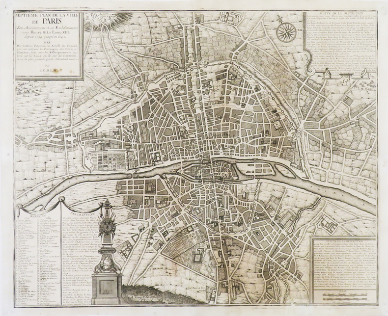
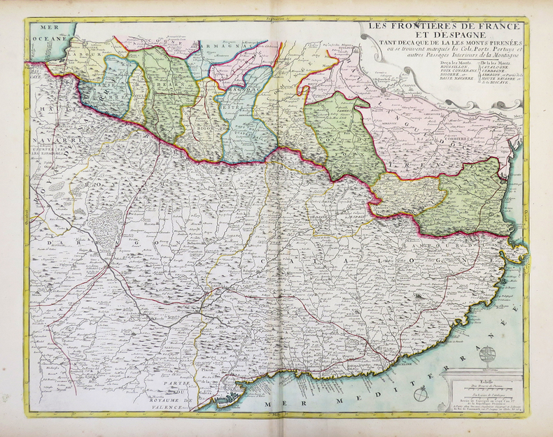
1722LBW-6646[Paris, 1722]. 445 x 555 mm.
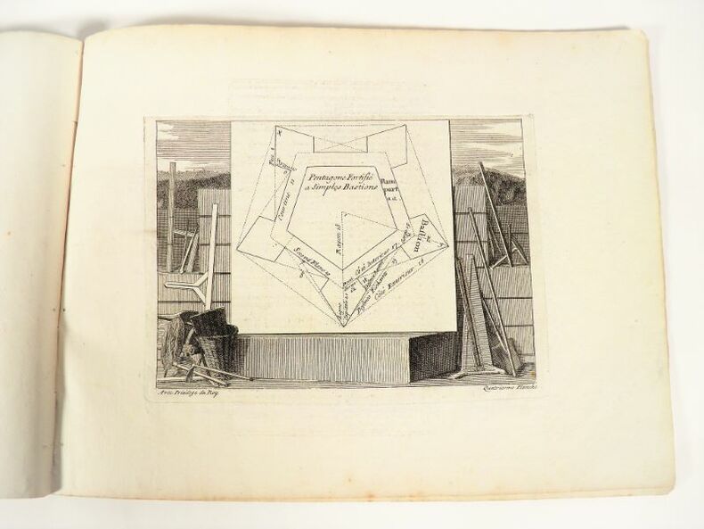
17112209Paris, chez l'auteur, sans date [vers 1705-1711]. Format oblong - 31 x 23 cm. Dérelié. 16 feuillets. Ensemble complet de la page de titre gravée et de l’introduction de l’ouvrage composée de 9 planches et 6 feuillets de texte (également gravés).
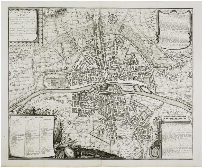
1720LBW-5646[Paris, circa 1720]. 446 x 554 mm.
1720LBW-3721[Paris, circa 1720]. 434 x 533 mm.
1702LBW-1332[Amsterdam, Pierre Mortier, 1702]. 210 x 267 mm.
1720LBW-3720[Paris, circa 1720]. 451 x 554 mm.
1720LBW-5641[Paris, circa 1720]. 458 x 557 mm.
1702LBW-1334[Amsterdam, Pierre Mortier, 1702]. 210 x 277 mm.
1720LBW-3723[Paris, circa 1720]. 424 x 526 mm.
1766LBW-8594Paris, Desnos, 1766. 398 x 547 mm.
172226591722 1722 J.F. Bernard, Paris, 1722.1 volume in-4 plein veau d'époque, dos à nerfs orné de fleurons en encadrement de filets, pièce de titre, [2ff.] blancs, [141ff.] non chiffrés et [1f.] blanc. Bien complet des 65 gravures en taille-douce (chiffrées de 4 à 69, la page de titre, l'épître et la table comptant pour les gravures 1 à 3). Chaque notice royale et accompagnée d'une gravure présentant un portrait et une figure allégorique. Ex-libris. Bel exemplaire malgré quelques épidermures.
1725204942Paris: de Fer Nicolas 1725. unbound. very good. Map. Engraving with modern hand coloring. Image measures 5.25" x 6.25".<br/><br/> Charming miniature map of Denmark with the Coat of Arms incorporated in the cartouche. Map includes both Schleswig and Holstein while today part of the former and all of the latter are northern Germany. Nicolas de Fer 1646-1720 was a French cartographer engraver and publisher. He became official geographer to the French Dauphin 1691 and to the Spanish King 1702.<br/><br/> de Fer, Nicolas unknown books
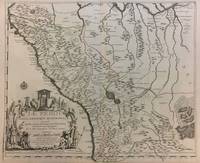
1719291534Paris 1719. Map. Engraving with original hand outline color. Image measures 19 x 23". Sheet measures 20 x 28".<br/><br/> Unusual map of Peru from the early 18th century. Includes part of Ecuador Bolivia and Brazil based on Jesuit activity in the area. Amazon rain forest is visualized with a dynamic design. Cartouche describes the mining industry. Nicolas de Fer 1646-1720 was a prolific cartographer engraver and publisher who took over the family map business from his mother when she retired in 1687. The business flourished and he gained a great reputation in his lifetime and was appointed 'Geographer to the King' in 1690. This map demonstrates his skill and provides a curious yet alluring mixture of history and geography.<br/><br/> unknown books
17026200Paris: Chez l'Auteur 1702. First printing. Map folio sheet 12.75"x9" 23x33cm. Copperplate engraving. Significant early map of this area locating the mouth of the Mississippi correctly as taken from the information reported by M. La Salle. The right edge includes all of Florida and most of Cuba; the left cuts off most of Baja California. Santa Fe New Mexico is shown at the top the bottom cuts off at the Isthmus of Panama. Attractive cartouche showing two Indians in full regalia. Hand-colored probably contemporaneously. Fine copy. <br/><br/> Chez l'Auteur unknown books
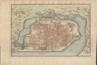
1715019811Paris. Very Good. 1715. Map. Lovely engraved map depicting Mexico City in the early 18th century. Map is on a 10 ¾" x 15 ¾" sheet that was taken from Nicolas de Fer's "L'Atlas Curieux" of 1715; no content on verso. Date of map was printed in upper margin along with the sheet number "125" and title; content in French. Hand-coloring is still bright. Map has very light toning to edges but is otherwise clean. This detailed map depicts Mexico City when it was surrounded by water and was linked to the mainland by the famous causeways originally designed by the Aztecs. Also pictured are aqueducts and farms and about 50 locations have been numbered on the map but the key is not present likely printed on another page in the Atlas. A beautiful map. . unknown books
1792LBW-4312Paris, Desnos, 1792. 498 x 603 mm.
1705279621705 Paris, 1705 - Blatt-Maße: ca. 27 x 38 cm. -- gut erhalten. || Original copper engraved map from 1714.
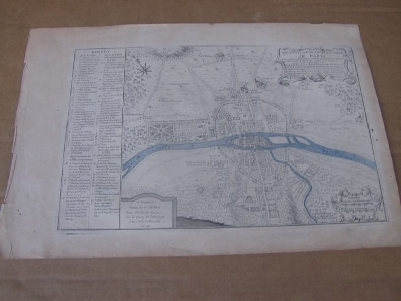
1714279211714 Paris, 1714 - Blatt-Maße: ca. 27 x 38 cm. -- gut erhalten. || Original copper engraved map from 1714.
1714279611714 Paris, 1714 - Blatt-Maße: ca. 27 x 38 cm. -- gut erhalten. || Original copper engraved map from 1714.