BLANDIN (Philippe Frdric).Biblio.com
943 résultats
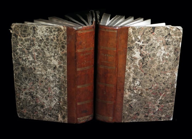
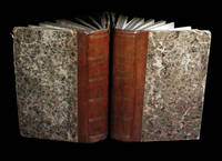
1838250211838. Paris J. B. BailliÂre 1838. 2 forts vol. au format in-8 212 x 133 mm de viii - 784 pp. ; 2 ff. n.fol. et 796 pp. Reliures uniformes de l'ÂŽpoque de demi-basane glacÂŽe et marbrÂŽe caramel dos lisses ornÂŽs de quintuples filets gras et maigres dorÂŽs titre dorÂŽ tomaison dorÂŽe. Edition originale ; complÂte des deux volumes la constituant. ''Autant qu'il m'a ÂŽtÂŽ possible j'ai procÂŽdÂŽ du facile au difficile ; et j'ai toujours ÂŽtait du connu ˆ l'inconnu. Les descriptions s'encha”nent et se suivent dans l'ordre suivant lequel les ÂŽlÂves doivent se diriger dans leurs recherches thÂŽoriques et pratiques''. Angles ÂŽmoussÂŽs. Coupes nettement ÂŽlimÂŽes. Papier parfois lÂŽgÂrement oxydÂŽ. Claires rousseurs et petites cernes ÂŽparses dans les corps d'ouvrages. Du reste bonne condition. Peu courant. b42961 unknown
183825021Paris, J. B. Baillière, 1838. 2 forts vol. au format in-8 (212 x 133 mm) de viii - 784 pp. ; 2 ff. n.fol. et 796 pp. Reliures uniformes de l'époque de demi-basane glacée et marbrée caramel, dos lisses ornés de quintuples filets gras et maigres dorés, titre doré, tomaison dorée.
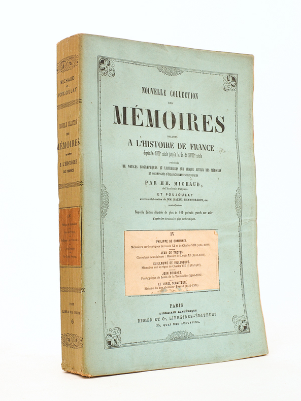
186651425Nouvelle éd. ornée portraits gravés sur acier, 1 vol. gr. in-8 br., Nouvelle collection des mémoires relatifs à l'Histoire de France, depuis le XIIIe siècle jusqu'à la fin du XVIIIe siècle, Librairie Académique Didier et Cie, Libraires-éditeurs, Paris, 1866, 607 pp. Titre complet de la collection : Nouvelle collection des mémoires relatifs à l'Histoire de France, depuis le XIIIe siècle jusqu'à la fin du XVIIIe siècle, précédés de notices biographiques et littéraires sur chaque auteur des mémoires et accompagnés d'éclaircissements historiques par MM. Michaud et Poujoulat. Rappel de la liste des mémoires contenus dans ce tome : Philippe de Commynes - Mémoires sur le règne de Louis XI et de Charles VIII ; Jean de Troyes [Greffier de l’Hôtel de Ville de Paris] - Chronique scandaleuse : Histoire de Louis XI ; Guillaume de Villeneuve - Mémoires sur le règne de Charles VIII ; Jean Bouchet - Panégyrique de Louis de La Trémoille ; Le Loyal Serviteur - Histoire du bon chevalier Bayard [ Bayart ]
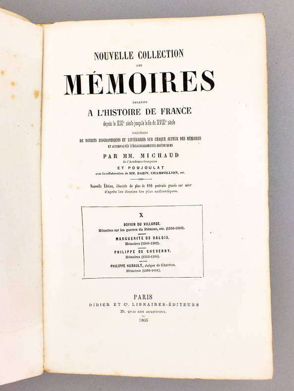
186651430Nouvelle éd. ornée portraits gravés sur acier, 1 vol. in-4 br., Nouvelle collection des mémoires relatifs à l'Histoire de France, depuis le XIIIe siècle jusqu'à la fin du XVIIIe siècle, Librairie Académique Didier et Cie, Libraires-éditeurs, Paris, 1866, 614 pp. Titre complet de la collection : Nouvelle collection des mémoires relatifs à l'Histoire de France, depuis le XIIIe siècle jusqu'à la fin du XVIIIe siècle, précédés de notices biographiques et littéraires sur chaque auteur des mémoires et accompagnés d'éclaircissements historiques par MM. Michaud et Poujoulat. Rappel de la liste des mémoires contenus dans ce tome : Boyvin du Villars - Mémoires sur les guerres du Piémont, etc. (1550-1559) ; Marguerite de Valois - Mémoires (1569-1582) ; Philippe de Cheverny [chancelier de France] - Mémoires (1553-1599) ; Philippe Hurault, évêque de Chartres - Mémoires (1599-1601).
1827288092Brussels: Phillippe Marie Vandermaelen 1827. unbound. Map. Large format lithograph with original hand color wash. Image measures 18.25 x 20.75". Sheet measures 21.25 x 27.5".<br/> <br/> This scarce 1827 map of Nova Scotia and New Brunswick is one of the most detailed maps of the region published in the first half of the 19th century. It extends to Prince Edward Island St. John Cape Breton the Madelaine Islands and the Sable Islands. Topographical features of landforms water bodies and fishing banks are labeled in addition to geographical features such as ports counties towns and cities. As was typical of his cartographic style Vandermaelen has included notations throughout the map that describe the region. The map appeared in Vandermaelen's "Atlas Universal." The map is in excellent condition a dark impression on bright clean paper. Deluxe margins with no chips or tears minor wear to corners not affecting the image. Phillippe Marie Vandermaelen 1795-1869 was a Belgian cartographer and publisher. His Atlas universal was both the first lithograph atlas and the first atlas to map the world on a uniform scale. The maps were meant to join together to form a huge globe. This map is a fine example of his work.<br/> <br/> Phillippe Marie Vandermaelen unknown
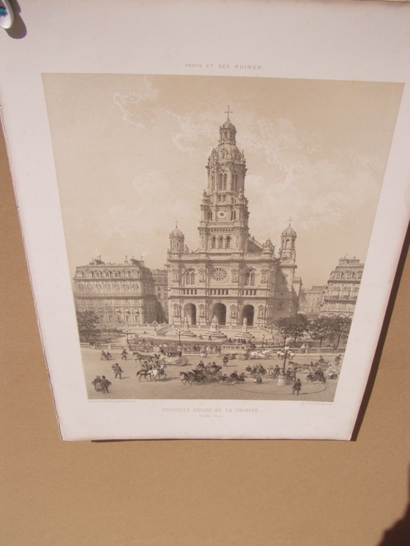
1873258851873 Henri Charpentier, Paris, 1873. une feuille In-folio ,bon état.Lithographie animée, tirée en deux tons repris de chez Charpentier de l'ouvrage « Paris dans sa splendeur », 1861. Au format in-folio 47/33 cm, en bon état
1833R240097796CHEZ DIDIER. 1833. In-12. Relié plein cuir. Etat d'usage, Coins frottés, Coiffe en pied abîmée, Intérieur acceptable. 132 pages - ouvrage ornée de nombreux portraits en noir et blanc dans le texte - gravure en noir et blanc en frontispice - titre + filets dorés sur pièce de titre rouge (fanée) - 2 photos disponibles.. . . . Classification Dewey : 944-Histoire de France varia
187479768Nantes Paris: Charpentier 1874. Fine. Charpentier Nantes Paris 1874 33.50 x 48.80 cm une feuille Original black and white lithograph drawn and engraved by Philippe Benoist and used as illustration for Paris et ses ruines by Victor Fournel a work documenting the devastation of the Paris Commune. Handsome copy despite some worming. Charpentier unknown
187479768Charpentier | Nantes Paris 1874 | 33.50 x 48.80 cm | une feuille
1883R260134811CHAVARAY. 1883. In-12. Broché. Etat d'usage, Couv. légèrement passée, Dos fané, Quelques rousseurs. 295 pages. Quelques illustrations en noir et blanc dans le texte par Tofani. Premier plat légèrement détaché.. . . . Classification Dewey : 840-Littératures des langues romanes. Littérature française
188318191883 Paris Charavay fr. 1883 in 12 pleine toile bradel châtaigne, pièce de titre chagrin fauve, 295 pages illustrées par Tofani bel exemplaire bien relié
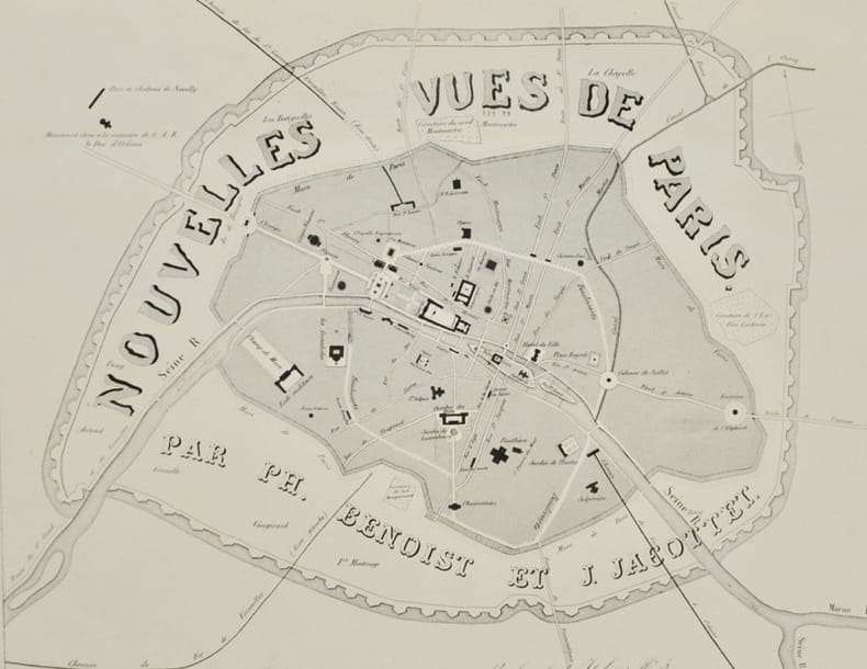
184342604Paris, Gihaut Frères, s.d. (1843). Titre et 36 planches lithographiées et teintées (20 x 28 cm) reliées en 1 vol. in-folio (29,5 x 44 cm), demi-chagrin prune à coins, dos lisse orné, filets dorés sur les plats, tranches dorées (reliure de l'époque).
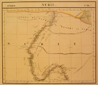
1827202375Brussels: Phillippe Marie Vandermaelen 1827. unbound. very good. Map. Large format lithograph with original hand coloring. Image measures 18.5" x 22.25".<br/> <br/> Includes Nubia Sudan and cities along the Nile River. Double page with centerfold. From Vandermaelen's 6 volume "Atlas universel de geographie physique politique statistique et mineralogique sur l'echelle de 1/16411836". Can be combined as gores to form an immense globe. The atlas was the first to map the world on a uniform scale.<br/> <br/> Phillippe Marie Vandermaelen unknown
1864R320089949DURAND AUG.. 1864. In-8. Broché. Bon état, Couv. convenable, Dos satisfaisant, Intérieur frais. 38 pages .. . . . Classification Dewey : 929-Généalogie
1864493071864 PARIS, Aug. Durand, 1864 - In-8 - Broché - Tiré à part - 38 pages - très frais - Réf. 49307
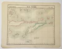
1827325002Brussels: Philippe Marie Vandermaelen 1827. Map. Hand colored engraving. Image measures 18 1/2" x 22"<br/> <br/> Beautiful and simple map of the island of Timor and surrounding islands. From Vandermaelen's 6 volume "Atlas universel de geographie physique politique statistique et mineralogique sur l'echelle.". Can be combined as gores to form an immense globe. <br> <br> Phillippe Marie Vandermaelen 1795-1869 was a Belgian cartographer and publisher. His Atlas universal was both the first lithograph atlas and the first atlas to map the world on a uniform scale. The maps were meant to join together to form a huge globe.<br/> <br/> Philippe Marie Vandermaelen unknown
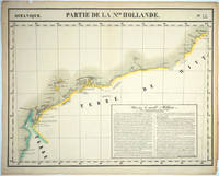
182725576Brussels: P. Vandermaelen 1827. An early map of the Exmouth Western Australia area from the North West Cape to Roebuck Bay. Lithograph with original outline color 15 3/4 x 21". Scale ca. 1:1 650 000. Plate no. 44 Partie de La Nlle. Hollande in vol. 6 Oceanique of Atlas Universal de Geographie Physique Politique Statistique et Mineralogique" by P. Vandermaelen 1827. Tooley 1286; Phillips 749; Bib ID 1553060. P. Vandermaelen unknown
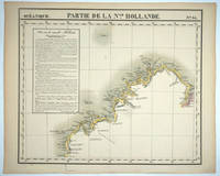
182725575Brussels: P. Vandermaelen 1827. Maps. Very good condition. An early map of the Broome & the Kimberly Western Australia area from P. Cantheaume to Cambridge Gulf including the Lacepede Islands. Broome is at the bottom of the Dampier Peninsula called "C. Boileau." Lithograph with original outline color 25 x 21.5". Plate no. 35 Partie de La Nlle. Hollande in vol. 6 Oceanique of Atlas Universal de Geographie Physique Politique Statistique et Mineralogique" by P. Vandermaelen 1827. Tooley 1282; Phillips 749; Bib ID 30855. P. Vandermaelen unknown
1827M1433Lithograph with hand colouring. An interesting chart showing Tonga or "The Friendly Islands" with extensive description of he flora and fauna of the region. Vandermaelen's Atlas Universel was the first Atlas to use the lithographic process throughout. <br /><br />Phillips 749; Koeman Vdm 1; National Maritime Museum 179<br /><br /> From "Atlas Universel"
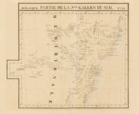
1827143929Brussells: P.M.G. Vandermaelen 1827. Very Good. Brussells P.M.G. Vandermaelen 1827. A lithographed map printed surface 471 × 547 mm sheet size 533 × 665 mm printed in black and blue. Vertical centrefold crease as issued; remnants of hinge mounts and an old guard on the verso; paper lightly tanned and foxed; in excellent condition. Plate 55 from Vandermaelen's monumental 'Atlas Universel' showing the New South Wales coast from around Batemans Bay to the Solitary Islands. Sydney the Blue Mountains and hinterland are shown including much of the Lachlan River. Vandermaelen's atlas was 'the first world atlas on a uniform scale. The sixth volume covered "Océanique" and it included seventeen maps of Australia. All the sheets were made on the same scale and projection and they were so constructed that they could form a globe of about 1000 gores 7.775 metres in diameter' Clancy: 'The Mapping of Terra Australis' 1995. P.M.G. Vandermaelen unknown
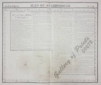
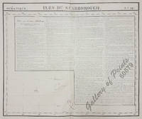
182560678<p>RARE original-colour lithograph features long text on "New Holland pl. 29" apparently due to space reasonsbare ocean…. RARE map of Kiribati with the Gilbert Islands from 'Atlas Universel de Geographie.' Oceanique no. 16. This 6 vol. Atlas contains 382 lithographed mapsheets and 40 plates of statistical data by Henri Ode mostly hand-coloured in outline. The maps in the atlas constitute not only the first atlas of the world on a uniform scale but also the first lithograph atlas. Constructed on a modified conical projection if assembled they form a 775 m diameter globe although only one such was known to have been assembled by the author himself and requiring a specially designed room. Map shows the Gilbert Islands now main part of Republic of Kiribati. But the main feature of this map is the extensive description of Australia referring to map no. 29. Prime meridian: Paris. Reference: atlas: Koeman III Vdm 1; Phillips Atlases 749. Condition: with center fold as issued with some faint stains and toning very good condition.</p> published in Brussels.
182560679<p>original-colour lithograph. RARE map from 'Atlas Universel de Geographie.' Oceanique no. 16; published in Brussels; This 6 vol. Atlas contains 382 lithographed mapsheets and 40 plates of statistical data by Henri Ode mostly hand-coloured in outline and was published in instalments over 3 years. The maps in the atlas make up the first map of the world on a uniform scale and the first lithograph atlas; constructed on a modified conical projection and if assembled form a globe with a diameter of 7.75m although only one such was known to have been assembled by the author himself and requiring a specially designed room. Map shows the <strong>Gilbert Islands now main part of Republic of Kiribati.</strong> But the main feature of this map is the extensive description of <strong>Australia</strong> referring to map no. 29. Prime meridian: Paris. Refence: atlas: Koeman III Vdm 1; Phillips Atlases 749. Condition: with center fold as issued minor creases and foxing on the outer plate and margin features long text on <strong>"New Holland pl. 29"</strong> apparently due to space reasons bare ocean.</p> published in Brussels.
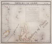
182561054<p>original hand-colour lithograph with a text vignette on Borneo. This important map for the Philippines shows Southern Mindanao and the area between Sulawesi Mindanao and Gilolo today: Halmahera part of the Moluccas. From 'Atlas Universel de Geographie…' Oceanique no. 6; This 6 vol. Atlas contains 382 lithographed mapsheets and 40 plates of statistical data by Henri Ode mostly hand-coloured in outline and was published in instalments over 3 years. The maps in the atlas make up the first map of the world on a uniform scale and the first lithograph atlas created on a modified conical projection and if assembled form a globe with a diameter of 7.75m although only one such was known to have been assembled by the author himself and requiring a specially designed room. A text box gives extensive information on Borneo. Reference: Reference: NOT in Quirino atlas: Koeman III Vdm 1; Phillips Atlases 749; National Maritime Museum 179; Wellens-De Donder L. Philippe Vandermaelen 1795-1869 4-5; DavidRumseydotcom with cpl. Info. Condition: very good example with some age-toning and a few faint spots wide margins.</p> published in Brussels.
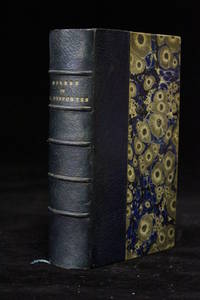
185849722Paris: Adolphe Delahays 1858. Fine. Adolphe Delahays Paris 1858 9.50 x 16 cm relié New edition printed on laid paper. Half navy blue morocco binding spine slightly faded with five raised bands set with black fillets marbled paper boards marbled endpapers and pastedowns top edge gilt. Work illustrated with a frontispiece engraving. A trace of a bookseller's description label on an endpaper. Handsome set in a charming uniform signed contemporary binding. Adolphe Delahays hardcover
185849722Adolphe Delahays | Paris 1858 | 9.50 x 16 cm | relié