Sanson, Nicolas d'AbbevilleBiblio.com
3 880 résultats
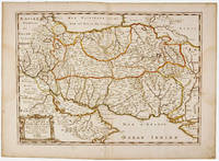
1654M2853Paris 1654. Excellent. Size : 415x483 mm 16.375x19 Inches Coloring: Original Outline Coloring Category: Maps Russia unknown
169143500Amsterdam Huguetan & Mortier 1691. 56x85 cm. Large engraved map of Terra Sancta with original colours in outline. With two large engraved cartouches. Small repairs to lower part of centerfold. <br/><br/><em>This is Jaillot's large version of Sanson's map of Palaestine divided into tribes. </em> unknown
169143500Amsterdam, Huguetan & Mortier, 1691. 56x85 cm. Large engraved map of Terra Sancta with original colours in outline. With two large engraved cartouches. Small repairs to lower part of centerfold.
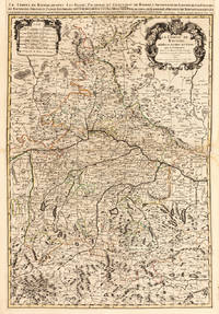
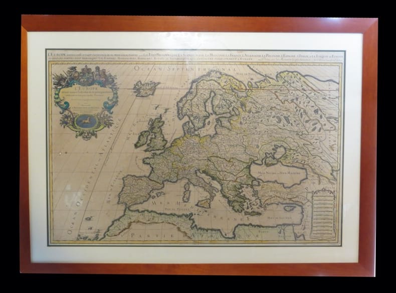
169228137Paris 1692. Other. Schönes tadelloses Exemplar. . 803 by 560mm 31 by 22 inches. Hand-Colored Original Copperplate Engraving by Alexis-Hubert Jaillot & N. Sanson depicting Le Cours de la Riviere du Rhein depuis sa Source jusques a son Emboucheure ou sont distingues Tout les Estats et Souverainetes qui sont dessus et aux enuirons. Tire de tous les Memoires les plus Nouveaux Parle Sr. Sanson Geopgraphe Ordinaire du Roy. Published Paris 1692. Sheet: 803 by 560mm 31 by 22 inches. A fine and original hand-colored example of Jaillot's celebrated cartographic work documenting this region of Germany with the precision and decorative artistry characteristic of the 16900s. Alexis-Hubert Jaillot c.1632-1712 was one of the foremost French cartographers of the late 17th and early 18th centuries. Working in Paris he produced magnificent large-format maps of European territories often in collaboration with Nicolas Sanson -- considered the father of French cartography. Jaillot's maps are known for their striking decorative cartouches generous size and fine hand coloring representing the pinnacle of French Baroque cartography.This original copperplate engraving with original hand coloring depicts the region of Le Cours de la Riviere du Rhein depuis sa Source jusques a son Emboucheure ou sont distingues Tout les Estats et Souverainetes qui sont dessus et aux enuirons. Tire de tous les Memoires les plus Nouveaux Parle Sr. Sanson Geopgraphe Ordinaire du Roy published in Paris 1692. The map records the political and geographic boundaries of the region as understood in 1692 offering a fascinating window into the history of German territorial organization. Sheet measures 803 by 560mm 31 by 22 inches. In good condition consistent with its age of over 330 years. Ready to frame. unknown
184510164Paris 1845. Pen ink and watercolour. Very good condition apart from some light foxing and mild creasing. A rare example of an original watercolour design for porcelain by the Samson factory of Paris.<br/> <br/>This finished design was intended as a reference source from which the porcelain painters could work using the design as a guide for the colours and image to be transformed from paper into fine porcelain. The French porcelain manufactory of Samson & Cie. was established by "Edmé Samson b. Paris 1810; d. Paris 1891 at 7 Rue Vendôme later Rue Béranger in Paris. The intention of the firm was to reproduce ceramics from museums and private collections and it claimed that all such reproductions would be distinctly marked to avoid confusion with the originals. In 1864 the factory was moved to Montreuil by Samson's son Emile Samson 1837-1913. The range of wares included copies of 18th-century porcelain from such factories as Sèvres Chelsea Meissen and Derby Chinese export-wares especially armorial wares decorated with famille rose colours and mugs decorated with the Fitzhugh pattern Delftware Iznikware maiolica and faience." Grove Dictionary of Art. unknown books
ria9780198537809_inpHardcover. New. New Book; Fast Shipping from UK; Not signed; Not First Edition; This handbook covers fundamental topics of semantic modelling in logic and computation. The chapters some monographic in length were written following years of coordination and follow a thematic point of view. This volume brings the hardcover
69481London: Bloomsbury Circus 2020. Fiction FIRST EDITION with SIGNED bookplate and DOUBLE-SIGNED photo. Octavo 24 x 16cm pp.348; 12 Endmatter. Publisher's cloth hardcovers in photographic dust-jacket priced £14.99. Fine throughout. On February 12th 2020 a launch tour was announced for this novel published on 2nd April. Entitled 'A Theatre for Dreamers - An Evening of Words and Music with Polly Samson and David Gilmour' the event was to feature Polly Samson in conversation with journalist Rosie Boycott readings film and live music including a new song "Yes I Have Ghosts" written by David Gilmour and Polly Samson. Due to Covid 19 the tour was cancelled but ticket holders for the launch event still received the signed book and a double-singed photograph albeit through the post rather than at the live event. London: Bloomsbury Circus, 2020 unknown
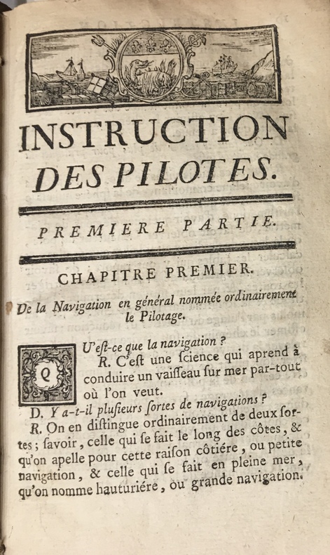
17734723Au Havre de Grâce, P.J.D.G. Faure, 1773. 1773 2 parties en un fort vol. in-12° (175 x 107 mm) de : 179 pp. (dont titre première partie, table pour trouver lheure des pleines mers, usage de la table et avertissement) ; [3] pp. (table des matières) ; [1] f. bl. ; [2] ff. (titre deuxième partie et avertissement) ; 190 pp. ; [7] ff. (table des latitudes, table des matières) ; 20 figures géométriques gravées sur bois, jolis bandeaux et culs de lampes. Vélin souple d'époque, dos lisse, tache sur le premier plat, rosace sur le second plat.
1690192941690. S.l. Alexis Hubert Jaillot 1680. Une grande carte 892 x 592 mm composÂŽe de deux feuillets contrecollÂŽs sous cadre moderne. Attractive 892 x 592 mm carte de la fin du XVIIÂme avec rehauts aquarellÂŽs du temps. Elle s'orne d'un important cartouche aux armes du Grand Dauphin Louis de France et s'agrÂŽmente en marge gauche de la figuration de vaisseaux ayant pris part ˆ un combat naval. Kupcik Cartes gÂŽographiques anciennes p. 159. Papier trÂs lÂŽgÂrement oxydÂŽ. PrÂŽsence de rares et claires rousseurs ou petites t‰ches. Deux plissures et une infime perforation en marge supÂŽrieure droite. Du reste belle condition. b42961 unknown
169019294S.l., Alexis Hubert Jaillot, 1680. Une grande carte (892 x 592 mm) composée de deux feuillets contrecollés, sous cadre moderne.
169414621Langlois Paris 1694 1 vol. In-12 de 6 ff.n.ch. 264 pp. 12 ff.n.ch. (table), basane fauve de l'époque, dos lisse frottée, pièce de titre, tranches rouges (épidermures et quelques trous de vers sur la reliure).
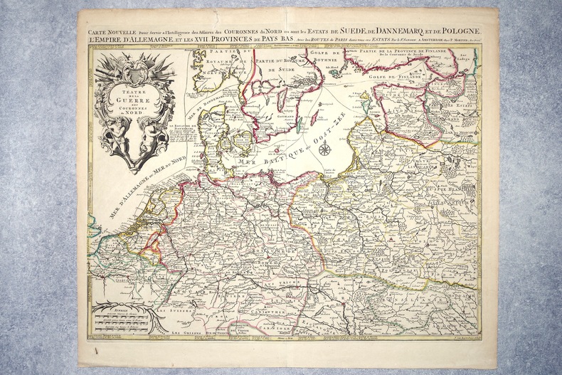
16962308A AMSTERDAM. CHEZ P. MORTIER. SANS DATE (VERS 1696). GRANDE CARTE GEOGRAPHIQUE, GRAVEE PAR JOAN VAN LUGTENBURG, LIMITES COLORIEES A LA MAIN D'EPOQUE (46,5 X 58 CENTIMETRES ENVIRON, 53 X 61,5 CENTIMETRES ENVIRON AVEC LES MARGES), AVEC UN CARTOUCHE DECORATIF AUX ATTRIBUTS MILITAIRES DONNANT LE TITRE. BON ETAT.
BN105476Coppenrath. Hardcover. Der Himmel kann noch warten Kinder- und Jugendliteratur <br/><br/>Der Himmel kann noch warten Kinder- und Jugendliteratur Coppenrath hardcover
BN105930Impressions nouvelles. Hardcover. Chris Ware la bande dessinée réinventée <br/><br/>Chris Ware la bande dessinée réinventée Impressions nouvelles hardcover
BN105020Softcover. La place verte - roman <br/><br/>La place verte - roman paperback
BN105048STE ECRIVAINS. Softcover. Le rêve de lumière <br/><br/>Le rêve de lumière STE ECRIVAINS paperback
BN105021Softcover. Les yeux bleus - la non-voyance vous écrit <br/><br/>Les yeux bleus - la non-voyance vous écrit paperback
1778M4133Paris: Fortin 1778. Very Good. Notes: Map showing Bohemia Silesia Moravia and Lusatia. Size : 420x545 mm 16.5x21.5 Inches Coloring: Hand Colored Category: Maps Europe Poland Lithuania Fortin unknown
2023x-110853922XCambridge University Press 2023. 2 Hardback books. New. 1st edition. 1600 pages. 9.29x6.54x3.58 inches. Cambridge University Press hardcover
129971aaf(1734), 20.5x30.5 cm (la carte) carte coloriée et montée sur carton, légèrement bruni, 1 planche. (23x33.4 cm, la feuille).
126765aafChez l’Autheur, 1660, 41x52 cm, 1 Blatt 43x57 cm. Auf Lwd aufgezogen.
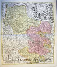
PR120639Map of the States of Savoy Piedmont and Nice. Titled above on the right: ""LES ESTATS DE SAVOYE PIEMONT et le COMTE de NICE Par le Sr: Sanson Geog Ordinaire du Roy.'With address of the publisher on the bottom right: 'a Amsterdam chez Pierre Schenk avec Privilege de .'.On the bottom left the various scales. Hand colored etching and engraving on laid paper; plate mark: 577 x 485 mm total: 625 x 531 mm; besides some smudges along the margins and a folding crease at center in very good condition. unknown
61441Paris Alexis Hubert Jaillot 1700. One sheet ink on paper. Copper engraving. Hand painted. Good condition. The map depicts the upper and lower Rhine region from Metz in the north to Lake Como in the south and Dijon in the west to Augsburg in the east. On the left hand side is the legend with miles to Italian French and German miles. In passepartout total size 650 x 750 mm. unknown
182729566Springfield Ohio 1827. 7 1 blank pp. Caption title as issued. Untrimmed uncut and generously margined. Spotted Good.<br /> <br /> Mason a lawyer would be elected to the Ohio State Senate in 1829 and then to Congress in 1834 where he served several terms as an anti-Jackson Whig. In this rare pamphlet he addresses General Duncan McArthur who had brought an action of ejectment "against Reynolds and Van Meter in the Court of Common Pleas for Champaign county." McArthur claimed ownership of land between the Scioto and Little Miami Rivers pursuant to military warrants granted him by the State of Virginia. Mason represented McArthur at trial. Mason defends himself against McArthur's criticisms of his trial conduct. <br /> McArthur's case was important. The U.S. Supreme Court decided it in 1829. See Reynolds vs. McArthur 27 U.S. 417 1829 opinion by Chief Justice Marshall. When Virginia ceded lands to the United States in 1784 it had reserved to itself the area between the Scioto and Little Miami to distribute military bounties. McArthur held title to land pursuant to such a Virginia military land warrant. The Supreme Court held that McArthur's claim of ownership was superior to the purported title of persons holding under a sale made by the United States. <br /> We accompany this pamphlet with a government report IN SENATE OF THE UNITED STATES. MAY 12 1826. MR. EATON SUBMITTED THE FOLLOWING STATEMENT. GENERAL McARTHUR'S CLAIM. 19th Cong. 1st Sess. Doc. 96. 8pp. It is a detailed discussion of the land cessions and McArthur's claim. <br /> OCLC 492252493 1- W. Res. Hist. Soc. as of August 2024. Not in American Imprints Sabin Eberstadt Thomson Decker Cohen. unknown
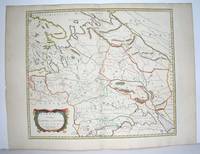
1658MEE1132Paris:: Chez l'Autheur 1658. 1658. PRINT: 390 x 520 mm. Paper: 457 x 610 mm. Creased cross-ways. Map outlined with original coloring. Excellent condition. First printing of this map. Nicolas Sanson 1600-1667 the "Father of French Cartography" was educated by the Jesuits at Amiens. He was soon recognized as having a gift for map drawing. As such by the age of ten he has produced his first map. "In 1627 he attracted the attention of Richelieu by a map of Gaul which he had constructed or at least begun while only eighteen." "Active from 1627 Sanson issued his first map of importance the "Postes de France" which was published by Melchior Tavernier in 1632. After publishing several general atlases himself he became the associate of Pierre Mariette a publisher of prints." Wikip. In 1630 he was appointed Geographe Ordinaire du Roy by King Louis XIII. As a geographer his most important work was his maps of the world Cartes generales de toutes les parties du monde issued in 1658 with later editions to follow. He died in 1667. Two younger sons Adrien d. 1708 and Guillaume d. 1703 succeeded him as geographers to the king. / Nicolas Sanson's map was issued "by the author" this version and another version where his printer-publisher Pierre Mariette issued the map with his own imprint on the cartouche. Chez l'Autheur, [1658]. unknown