CHATELAIN (Henry Abraham).Livre Rare Book
399 résultats
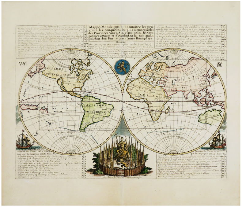
1708LBW-3528[Amsterdam, 1708]. 352 x 480 mm.
1705LBW-2033Amsterdam, vers 1705. 390 x 460 mm.
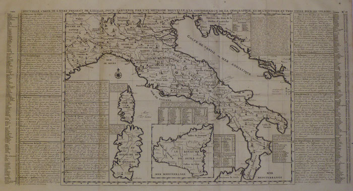
1720LBW-1094Amsterdam circa 1720 465 x 617 mm.
1720LBW-2012Amsterdam, circa 1720. 345 x 447 mm.
1720LBW-2046Amsterdam, circa 1720. 615 x 508 mm.
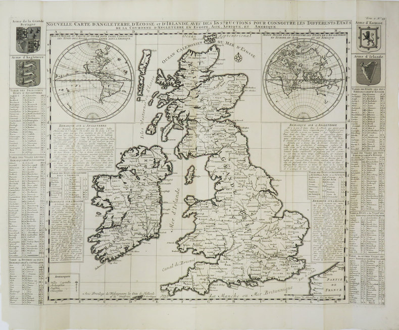
1708LBW-3452[Amsterdam, 1708]. 497 x 612 mm.
1720LBW-2039Amsterdam, circa 1720. 375 x 430 mm.
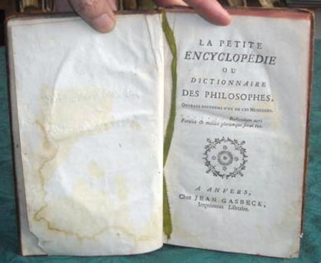
177110306Ouvrage posthume d'un de ces Messieurs.Anvers, chez Jean Gasbeck (vers 1771).Reliure pleine basane de l'époque. Dos lisse orné et doré avec pièce de titre rouge. Tranches rouges. Reliure frottée, coins émoussés. Mouillure sur la page de garde. Pas de rousseur. Bon état intérieur. Format in-12°(19x11).
17713600Ouvrage posthume d'un de ces Messieurs.Anvers, chez Jean Gasbeck (vers 1771).Reliure plein-veau marbré de l'époque. Dos lisse orné avec pièce de titre. Coiffe supérieure manquante. Plats légèrement frottés. Pas de rousseur. Bon état. Format in-12° (18x12).
1720LBW-1089Amsterdam circa 1720 380 x 477 mm.
1720LBW-1083Amsterdam circa 1720 463 x 619 mm.
1720LBW-1093Amsterdam, [circa 1720]. 331 x 654 mm.
1708LBW-3530[Amsterdam, 1708]. 354 x 462 mm.
1708LBW-3447[Amsterdam, 1708]. 343 x 440 mm.
17011401300013London : Printed for Robert Baldwin 1817-01-01. Hardcover. Very Good. 3 volume set. 21 cm. Handsomely bound leather. Gilt ruled blind tooled boards. All edges gilt. Good binding and cover. Marbled end pages. See our pictures. Elton's Classic Poets London : Printed for Robert Baldwin hardcover
1719014625Paris 1719. Map measures 46x40.cm. Map in very good clean condition. . Very Good. unknown
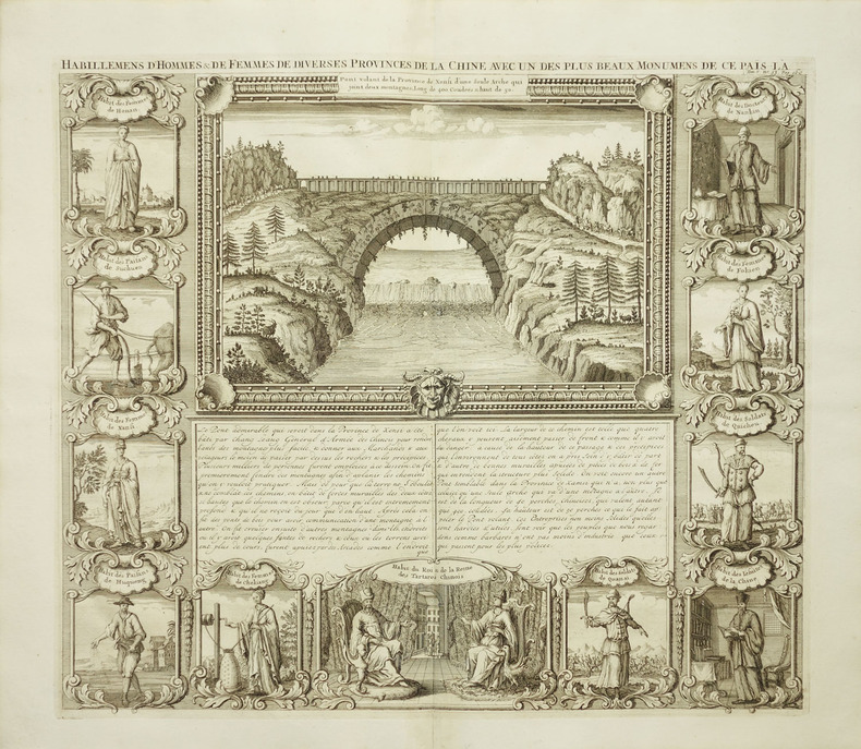
1719225955Amsterdam: Henri Abraham Chatelain 1719. unbound. very good. View. Engraving with hand coloring. Image measures 14 3/4" x 17".<br/><br/> Beautiful double page landscape view of a bridge bordered by eleven examples of Chinese dress from different provinces. The ethnographic studies show various types of people including physicians religious figures royalty soliders farmers and commoners from Hunan Sichuan Shanxi Huqueng Chekiang Tartary Quansi Quicheu Fokien and Nankin regions. French text describes the Xensi province bridge. A few minor creases. Full original margins.<br/><br/> Henri Abraham Chatelain unknown books
171925722Amsterdam 1719. Engraving with 8 maps on one sheet. An attractive combination of text and illustration and an important record of the French perception of British holdings in the Americas. This charming plate is typical of the work that makes Chatelain's atlas one of the great works of its era.<br/> <br/>The engraved sheet here combines informative text mostly about Jamaica with small-scale but accurate maps of eight different locations: Barbadoes; New England New York; Bermuda; Jamaica; the Caribbean; the Carolinas with Virginia and Maryland; Maryland Pennsylvania and New England; south east Canada with a part of New England. This charming grouping is characteristic of the marvelous engraving work which distinguishes the Atlas Historique with maps by Chatelain and text by Nicholas Gueudeville.<br/> <br/>JCB 'Archive of Early American Images' record number 12376-2; cf. van Waning "Chatelain's Atlas Historique" in Journal of the International Map Collectors' Society Spring 2010. unknown books
171025803Amsterdam 1710. Copper-engraved map period hand-colouring in outline. Tables upper left and along the right side. Attractive map of North America based upon De L'Isle's highly influential map of North America published in 1700.<br/> <br/>By combining a wealth of information and geographical observation with delicate engraving and an uncomplicated composition this elegant map is a superb example from the golden age of French mapmaking and was published in Chatelain's Atlas Historique an important encyclopaedic historical atlas. California is shown as a peninsula with a number of villages and mountains; the Mississippi River extends far north of its true source. The table along the right side details the various native tribes from each region with lettered references for locating on the map.<br/> <br/>Lowery 263; Phillips 579. unknown books
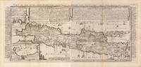
172032296Amsterdam: Henri Abraham Chatelain 1720. Other. In two sheets. In excellent condition. Lightstained outside of the image of the map see illustration. 380 by 880mm 15 by 34¾ inches. A beautiful example of Henri Chatelain's important 1720 map of Java. The map was produced for Chatelains 7 volume world atlas out of Amsterdam. Covers the island in full as well as adjacent parts of Sumatra and Bali. The volcanic island of Krakatau here identified as Cracatao which nearly 150 years later would erupt with devastating consequences appears in the Strait of Sunda between Java and Sumatra. In the lower left side is an inset details the city and port of Batavia. Henri Abraham Chatelain 1684 - 1743 was a Huguenot pastor of Parisian origins. He lived consecutively in Paris St. Martins London c. 1710 The Hague c. 1721 and Amsterdam c. 1728. He is best known as a Dutch cartographer and more specifically for his cartographic contribution in the seminal seven volume Atlas Historique published in Amsterdam between 1705 and 1720. Innovative for its time the Atlas Historique combined fine engraving and artwork with scholarly studies of geography history ethnology heraldry and cosmography. Some scholarship suggests that the Atlas Historique was not exclusively compiled by Henri Chatelain as is commonly believed but rather was a family enterprise involving Henri his father Zacharie and his brother also Zacharie. Koeman Cornelis Atlantes Neerlandici. Bibliography of Terrestrial Maritime and Celestial Atlases and Pilot Books Published in the Netherlands up to 1880 ch 6 9. Suarez T. Early Mapping of Southeast Asia page 232. Henri Abraham Chatelain unknown
171561975copper engraving wide margin with vertical folds as issued verso: blank. Fascinating sheet from the 'Atlas historique….' plate no. 39. Sheet shows a map of North and South America amidst a text overview of the governance structure of the Spanish overseas territories and vignettes of meetings of their governing bodies. published in Amsterdam.
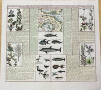
1719M10232Paris c.1719. Very Good. Notes: Three maps covering the Isthmus of Darien and the Gulf of Panama. It is illustrated with seven panels of finely engraved examples of the region's flora and fauna including fish birds and plant life. Size : 370x433 mm 14.57x17.05 Inches Coloring: Hand Colored Category: Maps Central America Countries; unknown
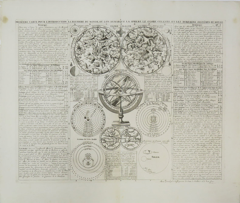
1719025037Amsterdan 1719. Map/Print. Fine. No Binding. c. 1719. Engraved leaf of text with illustrations 38 x 52 cm. from Chatelain's Atlas Historique ou Nouvelle Introduction a l'Histoire a la Chronoligie & a la Geographie Ancienne & Modern.1705-1720 Vol. VI. unknown