Ortelius, AbrahamBiblio.com
212 résultats
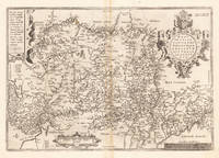
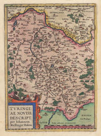
158035928Antwerpen: Platin 1580. In ausgezeichnetem Erhaltungszustand. 29.2 x 207 cm 11.5 x 825 inches. Hand-Colored Original Copperplate Engraving by Abraham Ortelius depicting Turingiae Noviss. Descript. per Iohannem Mellinger Halens. Published Antwerpen Platin 1580. Sheet: 29.2 x 207 cm 11.5 x 825 inches. A fine and original hand-colored example of Ortelius's celebrated cartographic work documenting this region of Germany with the precision and decorative artistry characteristic of the 15800s. Abraham Ortelius 1527-1598 was a Flemish cartographer and geographer from Antwerp widely regarded as the creator of the first modern atlas. His landmark publication Theatrum Orbis Terrarum 1570 set the standard for atlas-making for the next century presenting uniform copper-engraved maps with scholarly commentary. By Ortelius's death the Theatrum had appeared in 25 editions in seven languages. In 1575 King Philip II of Spain appointed him Royal Geographer. His maps engraved with extraordinary precision are among the most sought-after in antique cartography held in collections including the Plantin-Moretus Museum in Antwerp the Library of Congress and the British Library.This plate presents a original copperplate engraving with original hand coloring depicting the city of Turingiae Noviss. Descript. per Iohannem Mellinger Halens. published in Antwerpen Platin 1580. Such topographic views from Ortelius's workshop are primary historical documents of German urban history in the 1500s now prized equally by historians map collectors and interior decorators. Sheet measures 29.2 x 207 cm 11.5 x 825 inches. In good condition overall with minor signs of age appropriate for a 16th-century engraving. Ready to frame. Koeman Ort. 16A; Broe. 96. Platin unknown
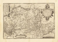
158415872Antwerp 1584. Maps. Original hand color map of Italy showing Tuscany. Based on Bellamarti's map of Tuscany supplemented by classical sources. Part of a series of historical maps compiled by Ortelius called the Parergon Theatri which appeared from 1579 on. With three ornate cartouches and a sailing ship. French text on verso of the right side. Image size:19 1/8 x 12 5/8". Paper size: 21 1/2 x 15 1/2". With some faint offsetting at the right hand border and in the area of the two cartouches otherwise very good. unknown
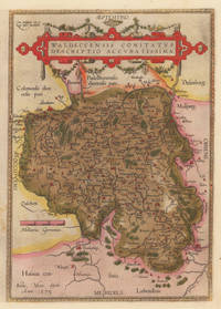
158410309Antwerpen: Platin 1584. In sehr gutem Erhaltungszustand. 31.3 x 223 cm 12.25 x 875 inches. Hand-Colored Original Copperplate Engraving by Abraham Ortelius depicting Waldeccensis Comitatus Descriptio Accuratissima. Published Antwerpen Platin 1584. Sheet: 31.3 x 223 cm 12.25 x 875 inches. A fine and original hand-colored example of Ortelius's celebrated cartographic work documenting this region of Germany with the precision and decorative artistry characteristic of the 15800s. Abraham Ortelius 1527-1598 was a Flemish cartographer and geographer from Antwerp widely regarded as the creator of the first modern atlas. His landmark publication Theatrum Orbis Terrarum 1570 set the standard for atlas-making for the next century presenting uniform copper-engraved maps with scholarly commentary. By Ortelius's death the Theatrum had appeared in 25 editions in seven languages. In 1575 King Philip II of Spain appointed him Royal Geographer. His maps engraved with extraordinary precision are among the most sought-after in antique cartography held in collections including the Plantin-Moretus Museum in Antwerp the Library of Congress and the British Library.This original copperplate engraving with original hand coloring depicts the region of Waldeccensis Comitatus Descriptio Accuratissima published in Antwerpen Platin 1584. The map records the political and geographic boundaries of the region as understood in 1584 offering a fascinating window into the history of German territorial organization. Sheet measures 31.3 x 223 cm 12.25 x 875 inches. Professionally restored; the image area is fully intact and displays well. Retains its original contemporary hand coloring. Ready to frame. Broe. 98 b; Koeman Ort. 21; Platin unknown
158433639Antwerpen 1584. In sehr gutem Zustand. 34.5 x 497 cm 13.5 x 195 inches. Hand-Colored Original Copperplate Engraving by Abraham Ortelius depicting Westphaliae Totius Finitimarumque Regionum Accurata Descriptio. Published Antwerpen 1584. Sheet: 34.5 x 497 cm 13.5 x 195 inches. A fine and original hand-colored example of Ortelius's celebrated cartographic work documenting this region of Germany with the precision and decorative artistry characteristic of the 15800s. Abraham Ortelius 1527-1598 was a Flemish cartographer and geographer from Antwerp widely regarded as the creator of the first modern atlas. His landmark publication Theatrum Orbis Terrarum 1570 set the standard for atlas-making for the next century presenting uniform copper-engraved maps with scholarly commentary. By Ortelius's death the Theatrum had appeared in 25 editions in seven languages. In 1575 King Philip II of Spain appointed him Royal Geographer. His maps engraved with extraordinary precision are among the most sought-after in antique cartography held in collections including the Plantin-Moretus Museum in Antwerp the Library of Congress and the British Library.This original copperplate engraving with original hand coloring depicts the region of Westphaliae Totius Finitimarumque Regionum Accurata Descriptio. published in Antwerpen 1584. The map features a decorative Baroque cartouche containing the title inscription. A distance scale is incorporated within the cartouche or alongside it. The map records the political and geographic boundaries of the region as understood in 1584 offering a fascinating window into the history of German territorial organization. Sheet measures 34.5 x 497 cm 13.5 x 195 inches. In good condition overall with minor signs of age appropriate for a 16th-century engraving. Ready to frame. Koe. Ort 23 / #46 85. Broe. 91. unknown
159533635Antwerpen 1595. In sehr gutem Zustand. Leichte Bräunung im Mittelfalz. 34.5 x 497 cm 13.5 x 195 inches. Hand-Colored Original Copperplate Engraving by Abraham Ortelius depicting Westphaliae Totius Finitimarumque Regionum Accurata Descriptio. Published Antwerpen 1595. Sheet: 34.5 x 497 cm 13.5 x 195 inches. A fine and original hand-colored example of Ortelius's celebrated cartographic work documenting this region of Germany with the precision and decorative artistry characteristic of the 15900s. Abraham Ortelius 1527-1598 was a Flemish cartographer and geographer from Antwerp widely regarded as the creator of the first modern atlas. His landmark publication Theatrum Orbis Terrarum 1570 set the standard for atlas-making for the next century presenting uniform copper-engraved maps with scholarly commentary. By Ortelius's death the Theatrum had appeared in 25 editions in seven languages. In 1575 King Philip II of Spain appointed him Royal Geographer. His maps engraved with extraordinary precision are among the most sought-after in antique cartography held in collections including the Plantin-Moretus Museum in Antwerp the Library of Congress and the British Library.This original copperplate engraving with original hand coloring depicts the region of Westphaliae Totius Finitimarumque Regionum Accurata Descriptio. published in Antwerpen 1595. The map features a decorative Baroque cartouche containing the title inscription. A distance scale is incorporated within the cartouche or alongside it. The map records the political and geographic boundaries of the region as understood in 1595 offering a fascinating window into the history of German territorial organization. Sheet measures 34.5 x 497 cm 13.5 x 195 inches. In good condition overall with minor signs of age appropriate for a 16th-century engraving. Ready to frame. Koe. Ort 23 / #46 85. Broe. 91. unknown
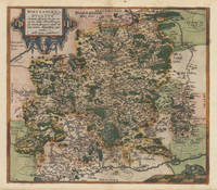
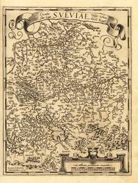
158737336Antwerp: Christopher Platin 1587. A very good example in excellent condition. 387 by 440mm 15 by 17 inches. Hand-Colored Original Copperplate Engraving by Abraham Ortelius depicting Wirtenberg Ducatus Accurata descriptio; tu qua omnia eius Opida Monasteria pagi nemora; fluminia et riuuli alicuius nominis diligentißimé exprimuntur. Auctore Georgio Gadnero. Published Antwerp Christopher Platin 1587. Sheet: 387 by 440mm 15 by 17 inches. A fine and original hand-colored example of Ortelius's celebrated cartographic work documenting this region of Germany with the precision and decorative artistry characteristic of the 15800s. Abraham Ortelius 1527-1598 was a Flemish cartographer and geographer from Antwerp widely regarded as the creator of the first modern atlas. His landmark publication Theatrum Orbis Terrarum 1570 set the standard for atlas-making for the next century presenting uniform copper-engraved maps with scholarly commentary. By Ortelius's death the Theatrum had appeared in 25 editions in seven languages. In 1575 King Philip II of Spain appointed him Royal Geographer. His maps engraved with extraordinary precision are among the most sought-after in antique cartography held in collections including the Plantin-Moretus Museum in Antwerp the Library of Congress and the British Library.This plate presents a original copperplate engraving with original hand coloring depicting the city of Wirtenberg Ducatus Accurata descriptio; tu qua omnia eius Opida Monasteria pagi nemora; fluminia et riuuli alicuius nominis diligentißimé exprimuntur. Auctore Georgio Gadnero. published in Antwerp Christopher Platin 1587. The view is framed with a decorative Baroque cartouche containing the title inscription. Such topographic views from Ortelius's workshop are primary historical documents of German urban history in the 1500s now prized equally by historians map collectors and interior decorators. Sheet measures 387 by 440mm 15 by 17 inches. In good condition overall with minor signs of age appropriate for a 16th-century engraving. Ready to frame. Broe. 113 Christopher Platin unknown
157928112Antwerpen: Platin 1579. Other. In excellent condition. 321 by 243mm 12 by 9 inches. Hand-Colored Original Copperplate Engraving by Abraham Ortelius depicting Württemberg Herzogtum. Published Antwerpen Platin 1579. Sheet: 321 by 243mm 12 by 9 inches. A fine and original hand-colored example of Ortelius's celebrated cartographic work documenting this region of Germany with the precision and decorative artistry characteristic of the 15700s. Abraham Ortelius 1527-1598 was a Flemish cartographer and geographer from Antwerp widely regarded as the creator of the first modern atlas. His landmark publication Theatrum Orbis Terrarum 1570 set the standard for atlas-making for the next century presenting uniform copper-engraved maps with scholarly commentary. By Ortelius's death the Theatrum had appeared in 25 editions in seven languages. In 1575 King Philip II of Spain appointed him Royal Geographer. His maps engraved with extraordinary precision are among the most sought-after in antique cartography held in collections including the Plantin-Moretus Museum in Antwerp the Library of Congress and the British Library.This original copperplate engraving with original hand coloring depicts the region of Württemberg Herzogtum published in Antwerpen Platin 1579. The map features a decorative Baroque cartouche containing the title inscription. The map records the political and geographic boundaries of the region as understood in 1579 offering a fascinating window into the history of German territorial organization. Sheet measures 321 by 243mm 12 by 9 inches. In good condition overall with minor signs of age appropriate for a 16th-century engraving. Ready to frame. Platin unknown
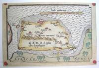
1590M3047Antwerp 1590. Excellent; narrow margins. Notes: This is the modern day island of Hawmat As Suq located about 300 kilometers southwest of Tunis on the South Western edge of the Gulf of Gabes. Size : 105x159 mm 4.125x6.25 Inches Coloring: Original Hand Coloring Category: Maps Africa North; Maps Mediterranean Sea unknown
1590003611Belgico Antwerp: Abraham Ortelius 1590. No Binding. Very Good. Elephant Folio - over 15" - 23" tall. ORTELIUS Abraham. VG 1590 B&W Map of the Black Sea Coast. 50 35.5 the Map 54 44.5 cm map including margins. Latin Text to verso of 1 side p xxvii. No pin holes inscriptions etc very light edge browning. Includes part of Ukraine Russia Georgia Bulgaria Romania and Turkey. Belongs to a series of historical maps known as the Parergon Theatri from 1579 onwards. Tooley's Dictionary of Mapmaker Early World Press 2004 p358-359 Marcel P. R. van den Broecke Ortelius Atlas Maps HES Publishers 2011 p633. <br/> <br/> Abraham Ortelius unknown
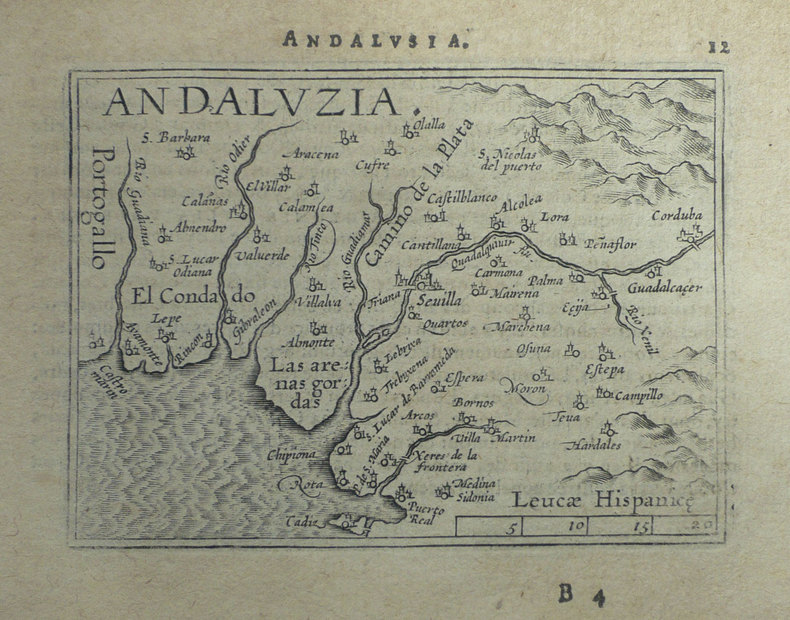
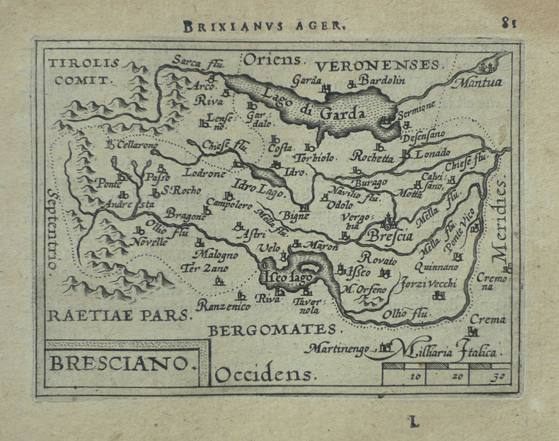
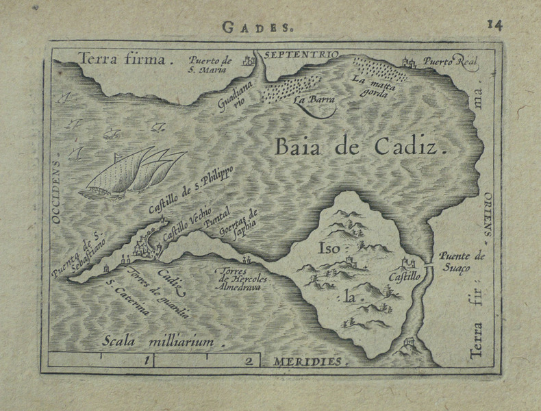
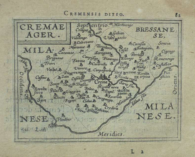
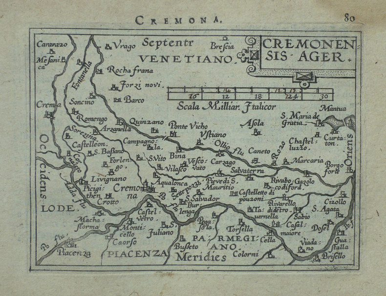
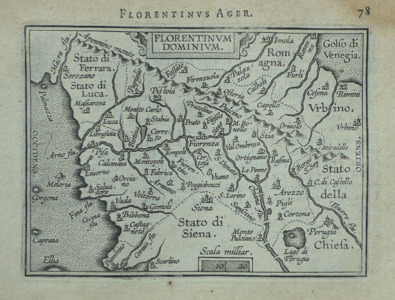
1598LBW-1406Anvers 1598 80 x 105 mm.
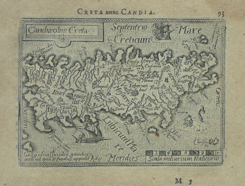
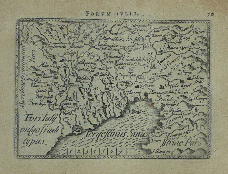
1598LBW-1407Anvers 1598 82 x 106 mm.
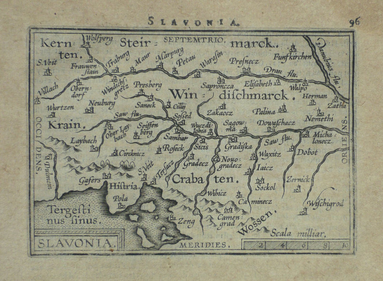
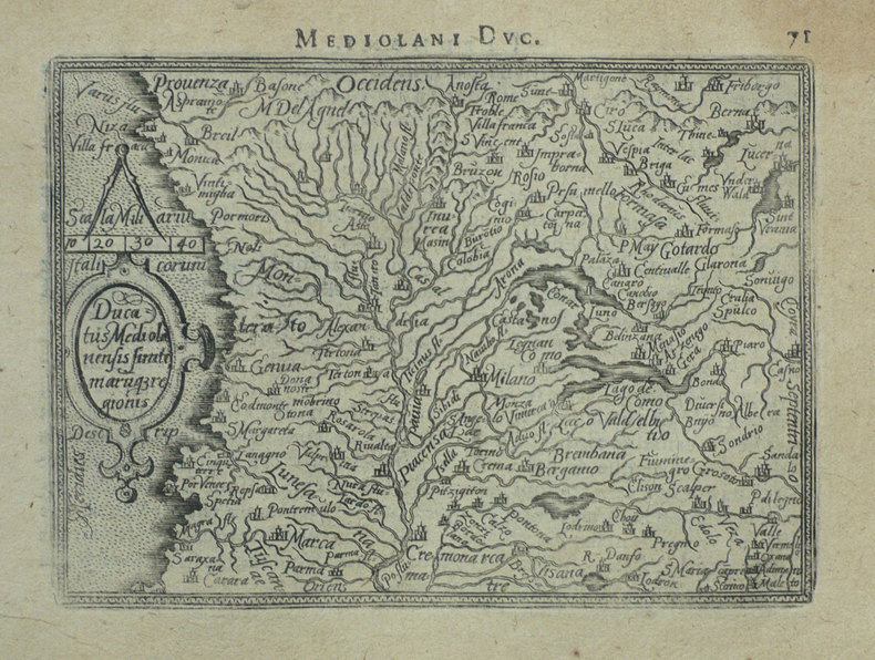
1598LBW-1398Anvers 1598 80 x 102 mm.
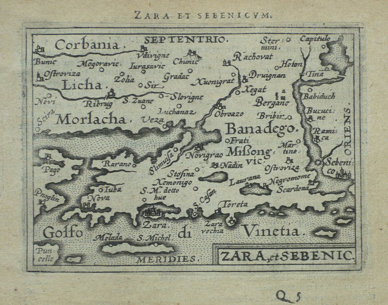
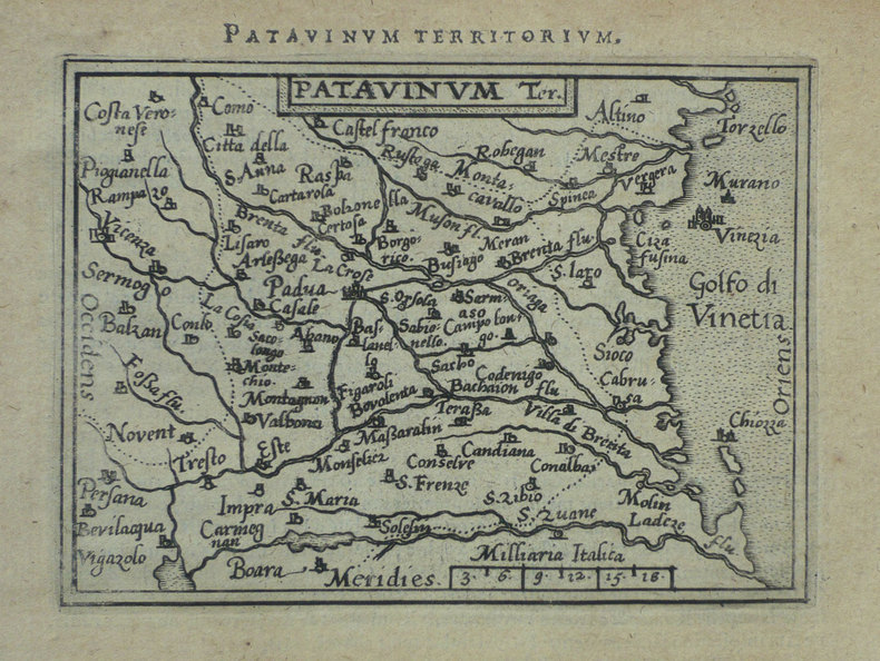
1598LBW-1419Anvers 1598 82 x 106 mm.
1598LBW-1499Anvers 1598 81 x 104 mm.
1598LBW-1421Anvers 1598 82 x 105 mm.
1598LBW-1418Anvers 1598 80 x 105 mm.
1598LBW-1432Anvers 1598 82 x 106 mm.
1598LBW-1389Anvers 1598 82 x 105 mm.
1598LBW-1399Anvers 1598 80 x 110 mm.
1598LBW-1430Anvers 1598 81 x 105 mm.
1598LBW-1410Anvers 1598 81 x 105 mm.
1598LBW-1422Anvers 1598 82 x 105 mm.
1598LBW-1412Anvers 1598 83 x 110 mm.
1598LBW-1415Anvers 1598 81 x 105 mm.
1598LBW-1423Anvers 1598 82 x 105 mm.